Trail Overview
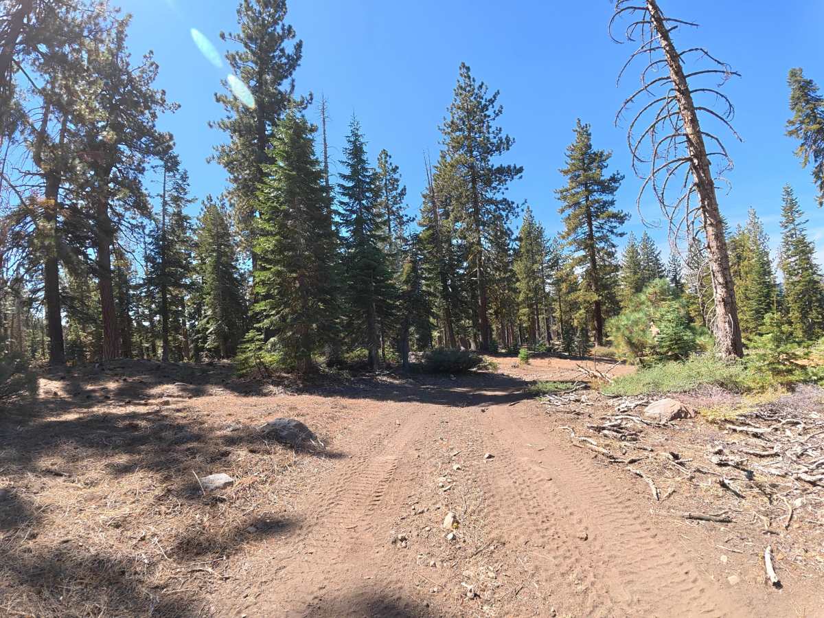
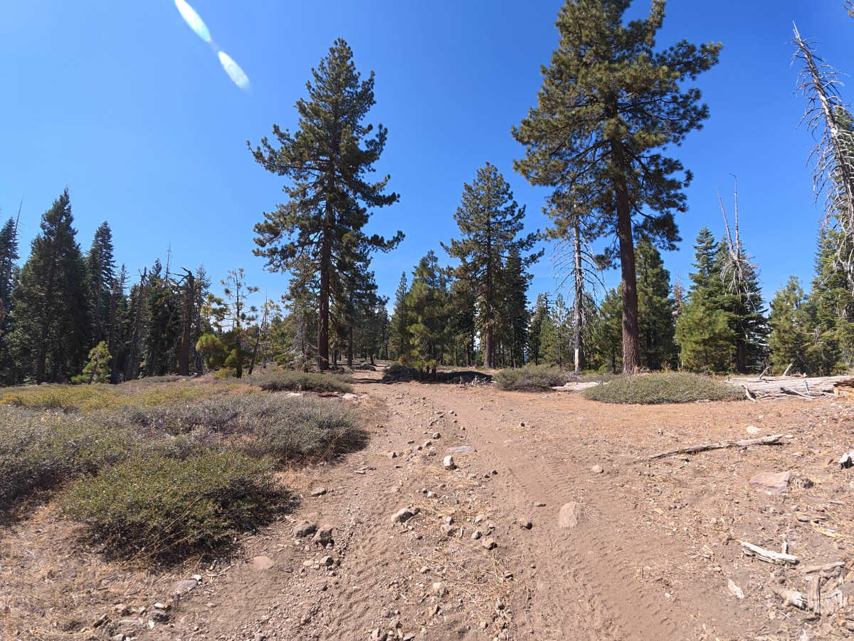
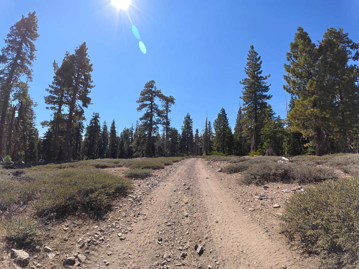
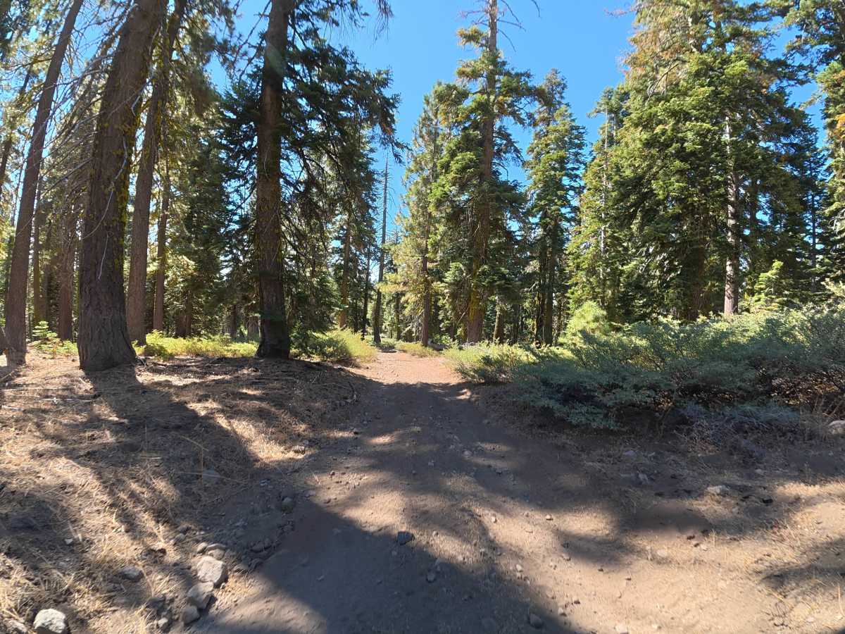
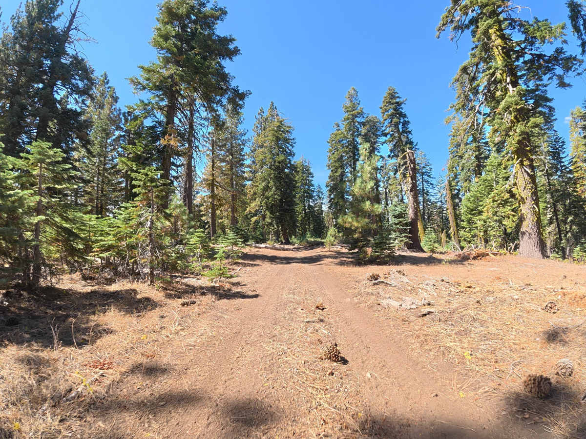
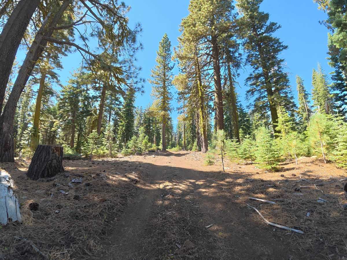
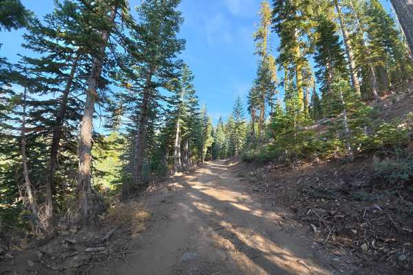
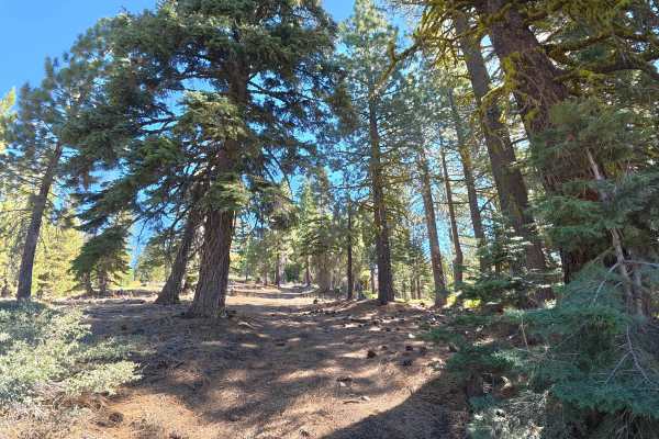
This narrow, fine-dirt trail travels along the hillside with little room for vehicles to pass. The terrain is significantly easier than the more difficult trails connecting to it, with frequent rock gardens containing rocks no larger than 2–3 inches and ruts reaching only 2–4 inches deep. The fine-dirt surface can become more difficult when wet. The route travels through a more open section of the hillside, providing expansive views of the surrounding forest and mountain ranges. Around 1 mile, the trail reaches the top of the hill where the forest opens further, providing excellent views of the surrounding mountains and vegetation. Be aware that continuing through connects to a Level 4 trail; drivers who do not want to tackle Level 4 terrain will need to return the same way.
Difficulty
This trail is rated Level 2 because of the minor 2–4 inch ruts, small rock gardens, and narrow terrain. The trail itself is relatively easy, but drivers should be prepared to turn around if they do not want to continue onto the connecting Level 4 route.