FS 6N91D

Total Miles0.9
Technical Rating
2Easy
Best TimeSpring, Summer, Fall
Trail TypeFull-Width Road
Accessible By
Open Trail Map

Trail Overview

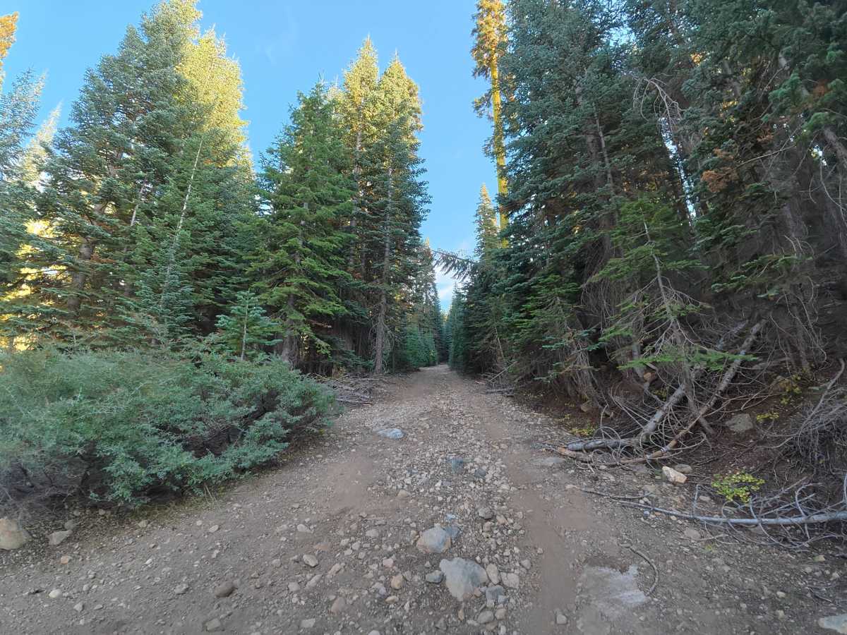
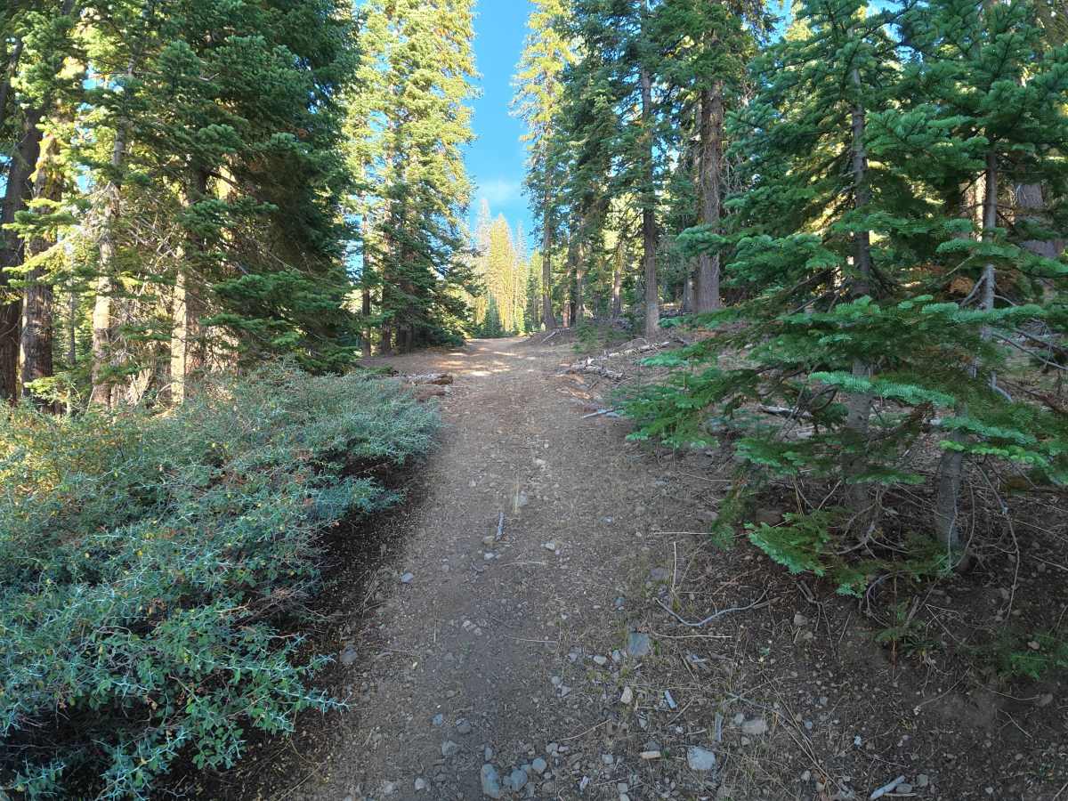
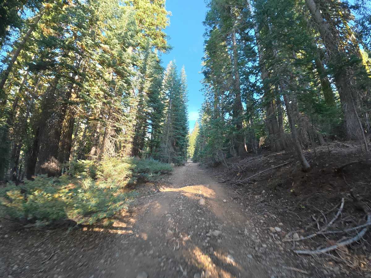
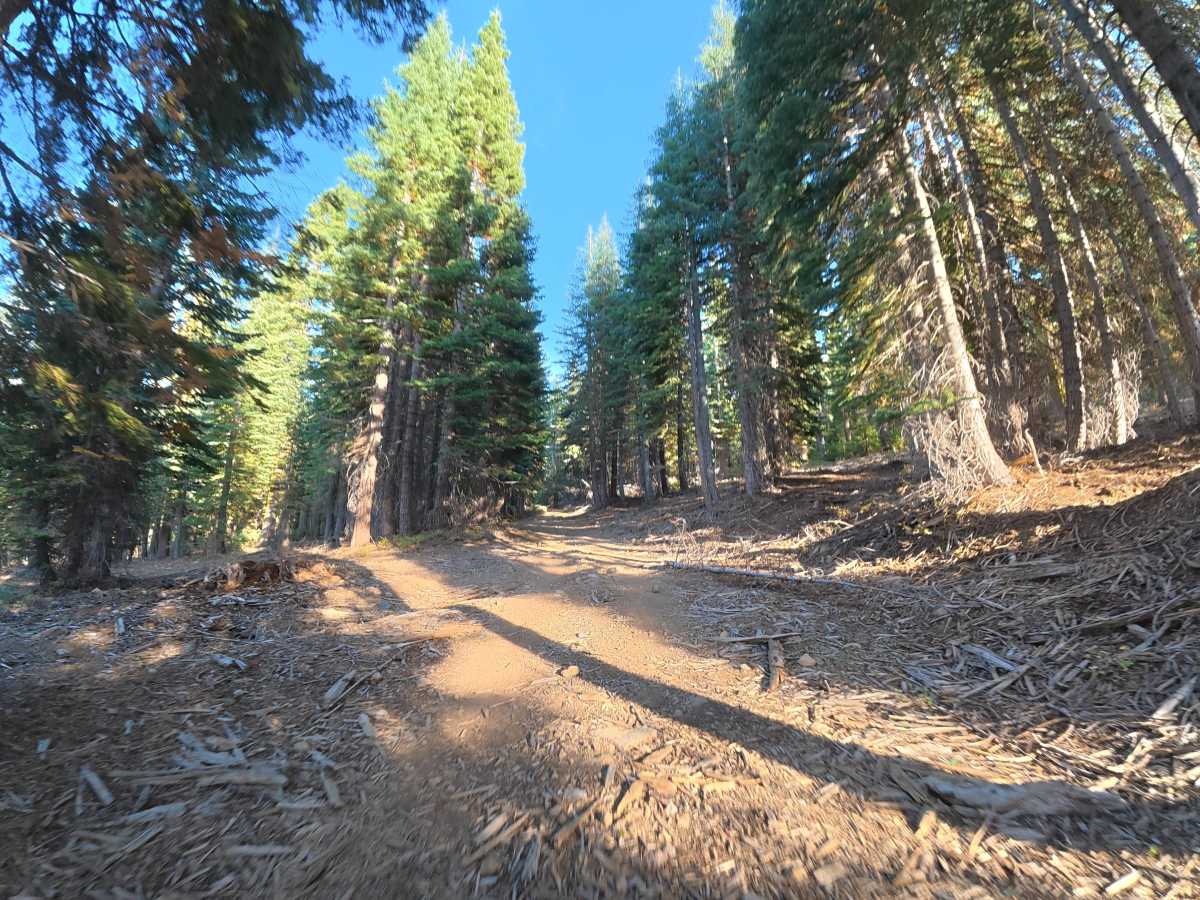
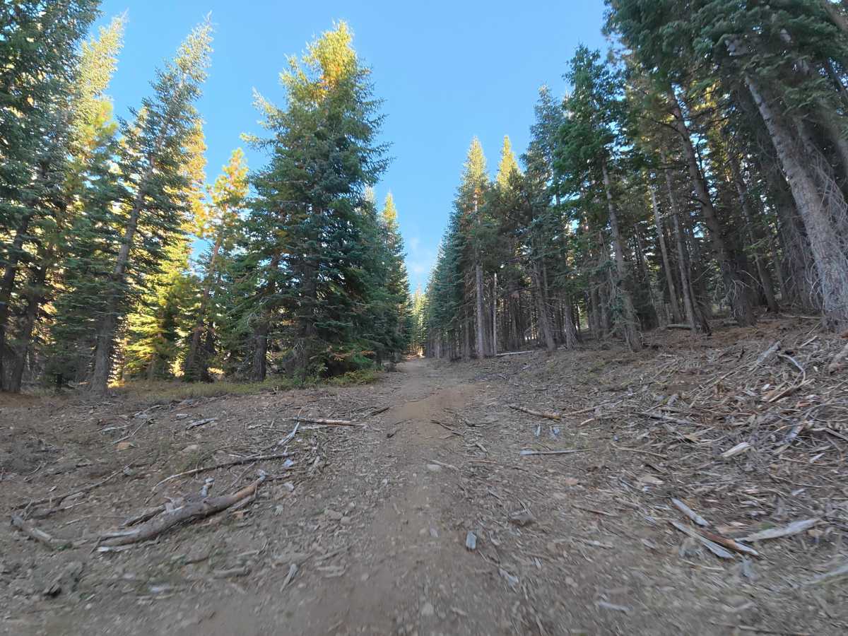
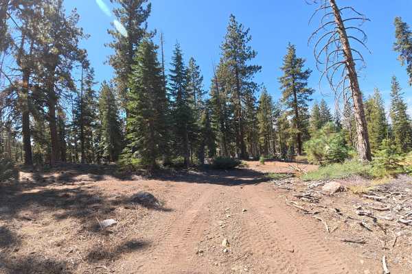
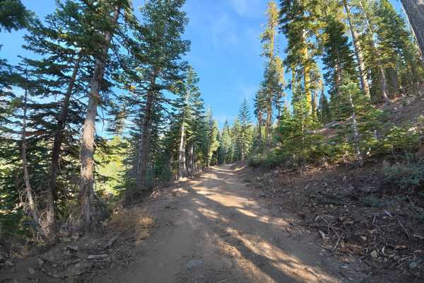
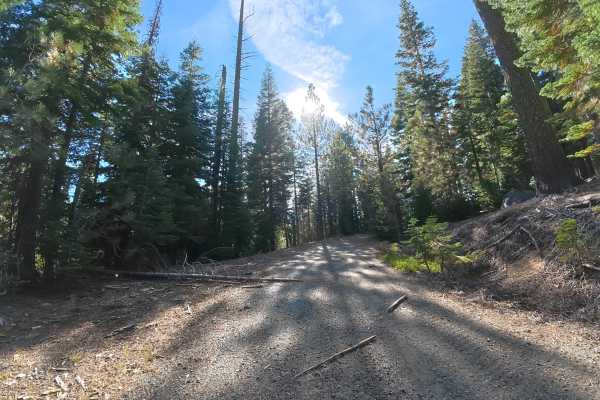
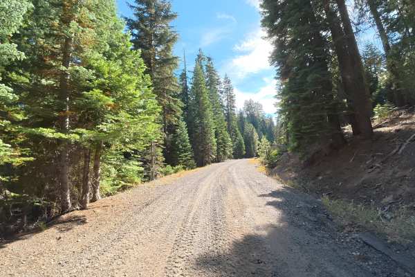
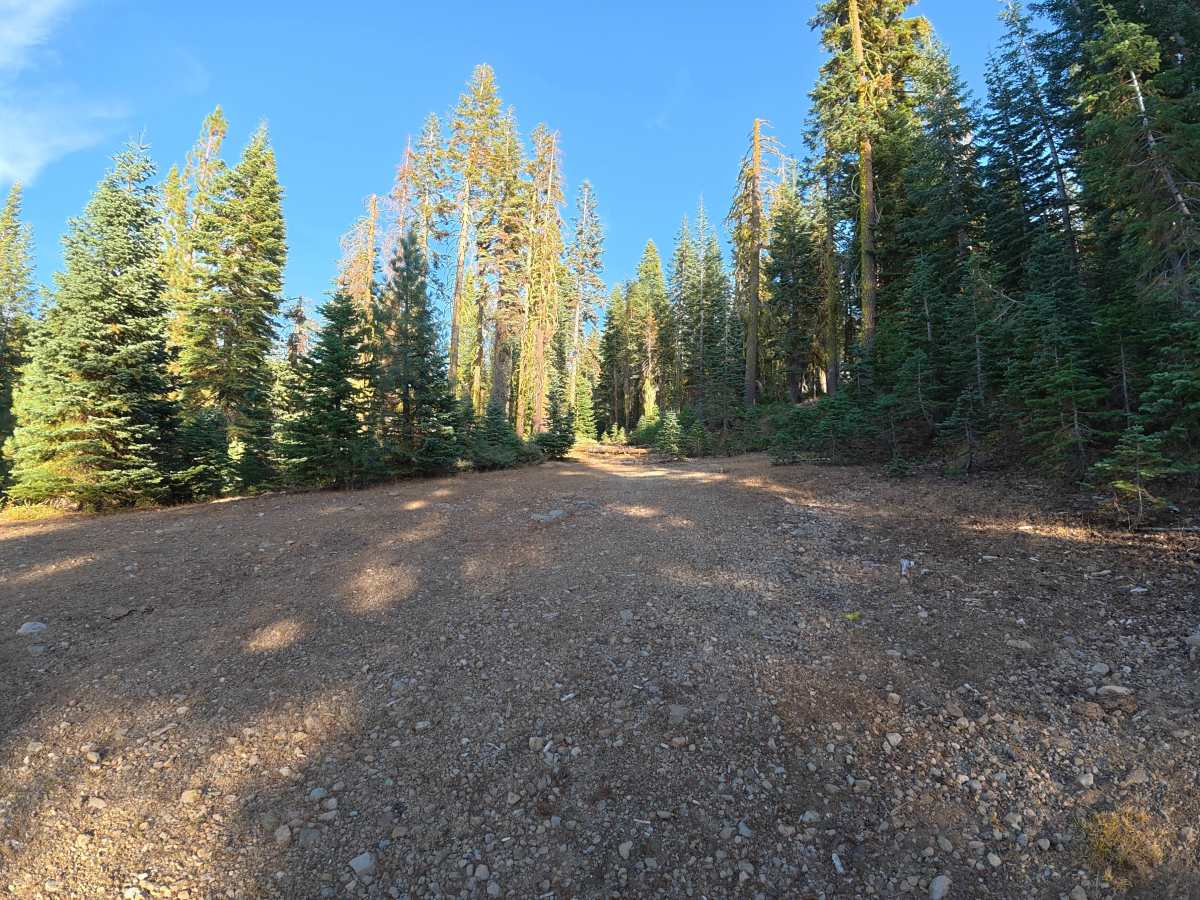
This narrow, fine-dirt trail climbs into the hillside with steady elevation gain. Ruts remain under 4 inches deep, but frequent rock gardens contain rocks ranging from 1–6 inches in diameter. Water drainage has created numerous 12–14 inch whoops, while heavy overgrown vegetation makes pinstriping likely. Cut trees along the route also create tight sections that require careful maneuvering. The route travels through dense forest but becomes increasingly narrow and overgrown farther along. Numerous fallen trees eventually completely block the trail, making further travel impossible for full-size vehicles, side-by-sides, and ATVs.

Photos of FS 6N91D

Difficulty

This trail is rated Level 2 because of the frequent 1–6 inch rock gardens, 12–14 inch whoops, narrow terrain, and tight sections around cut trees. The route is currently impassable farther along due to multiple fallen trees.

Technical Rating

2

FS 6N91D Trail can be accessed by the following ride types:

  • Single Track
  • 50 Inch
  • 60 Inch
  • High Clearance
  • Full Width

FS 6N91D Map

The onX Offroad Difference

onX Offroad combines trail photos, descriptions, difficulty ratings, width restrictions, seasonality, and more in a user-friendly interface. Available on all devices, with offline access and full compatibility with CarPlay and Android Auto. Discover what you're missing today!

Open Trail Map