Trail Overview
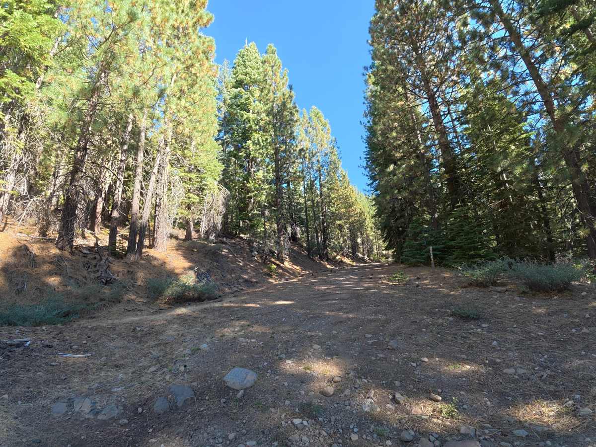
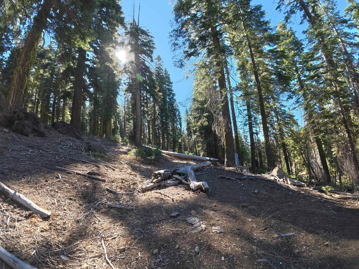
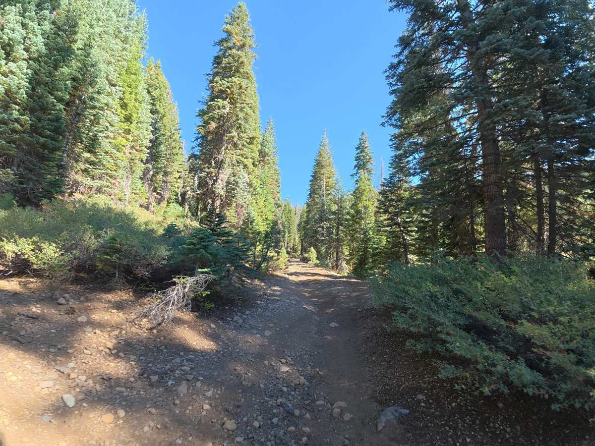
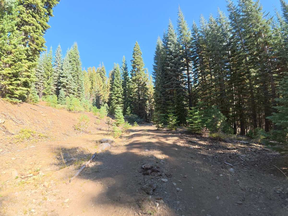
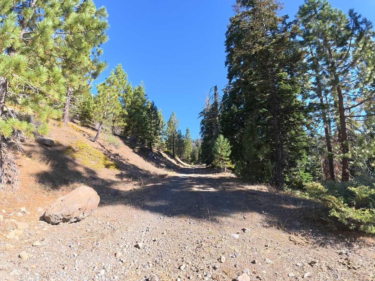
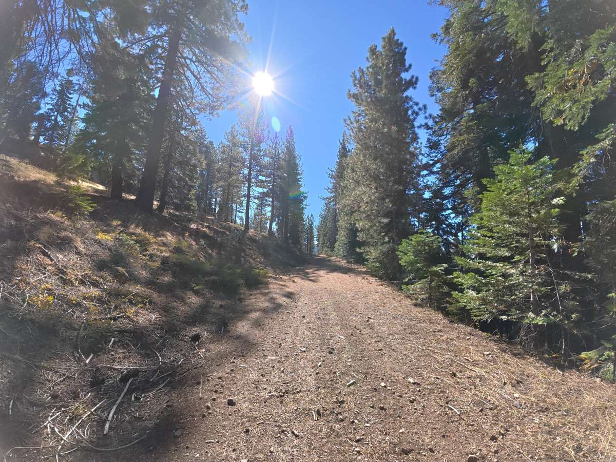
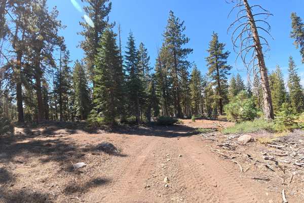
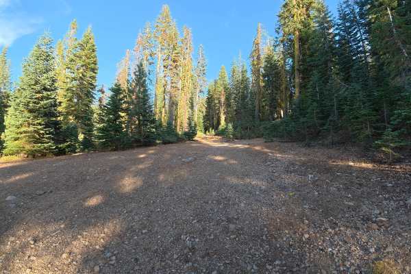
This wide, fine-dirt trail descends farther down the hillside with plenty of room for vehicles to pass. Expect loose gravel, rock gardens, rock ledges, and overgrown vegetation throughout, including branches extending into the trail. Around 0.9 miles, there is a rut reaching approximately 16 inches deep. The fine-dirt surface can become considerably more difficult when wet. Around 0.7 miles, a level cliffside campsite accommodates up to four vehicles with expansive mountain views. Another private, level campsite around 1.4 miles accommodates up to three vehicles. The route finishes at a large, shaded campsite with level ground and room for up to eight vehicles.
Difficulty
This trail is rated Level 3 because of the frequent rock gardens, rock ledges, loose gravel, overgrown vegetation, and 16-inch ruts. Careful tire placement may be necessary through the rougher sections.