Trail Overview
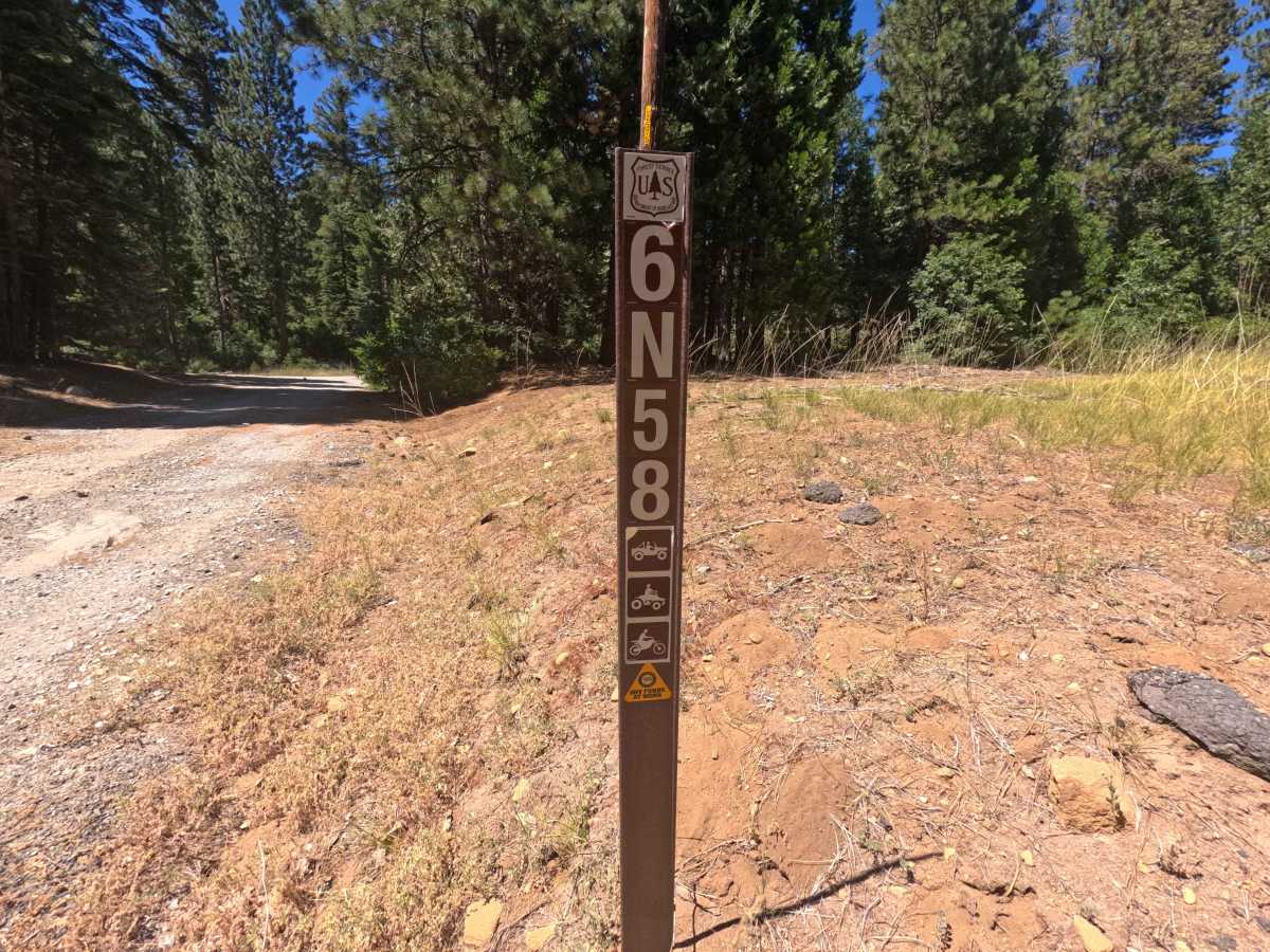
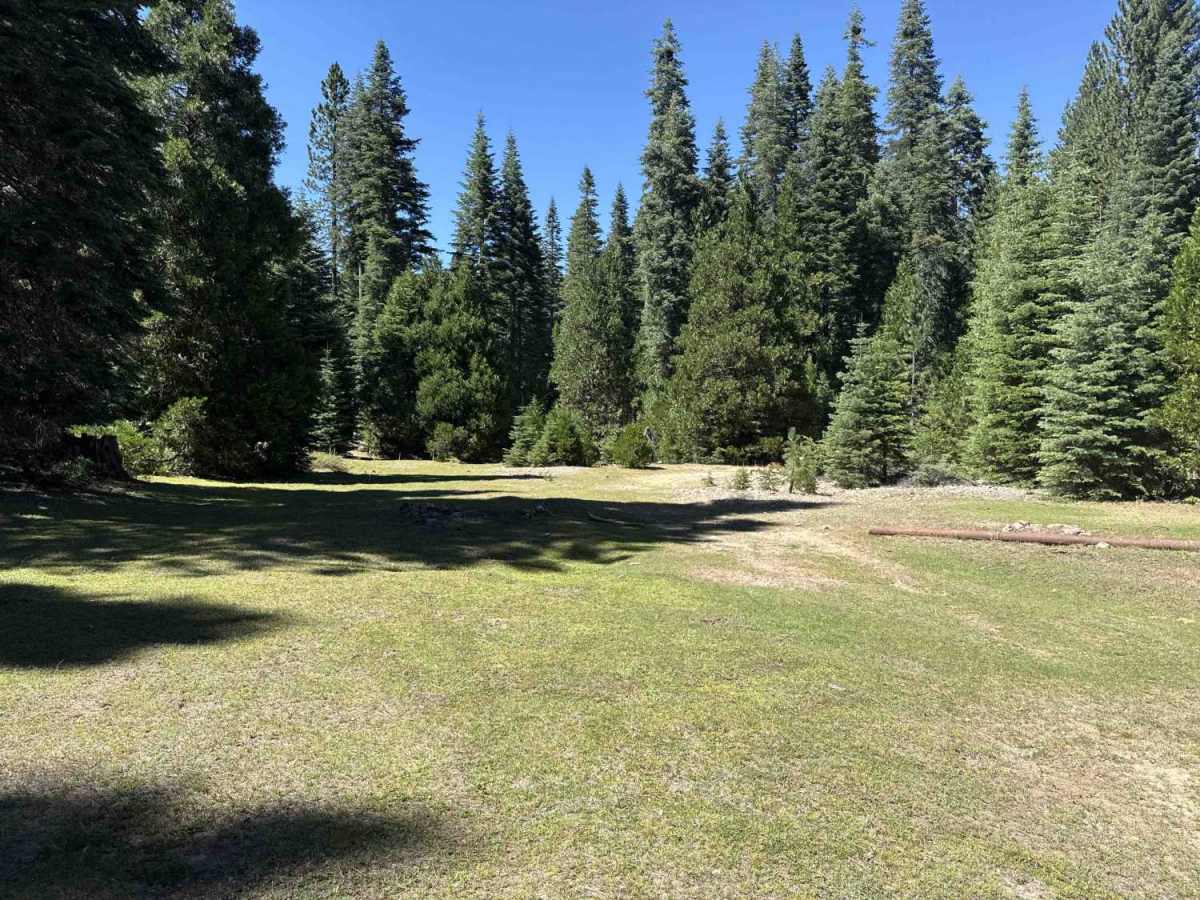
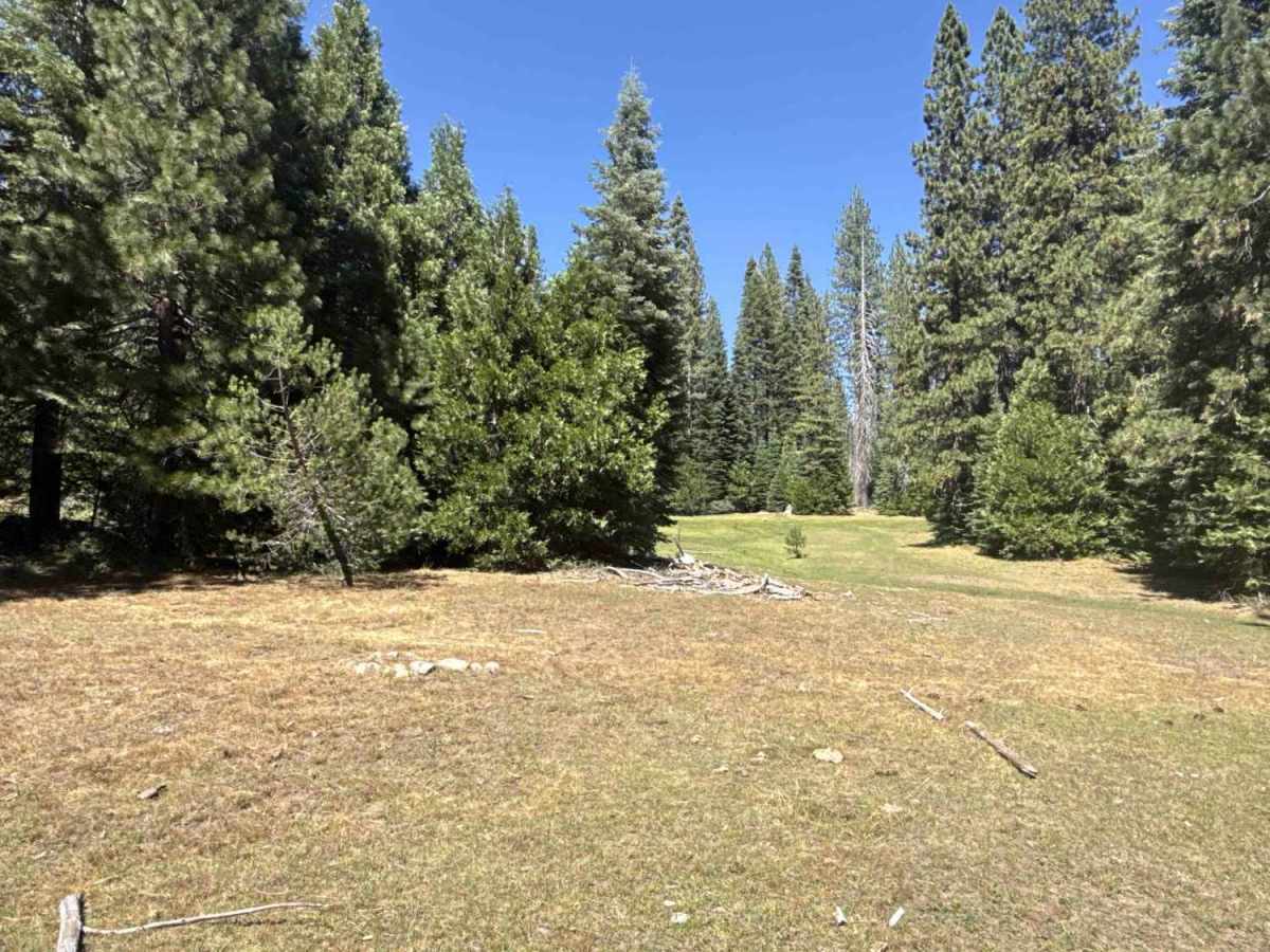
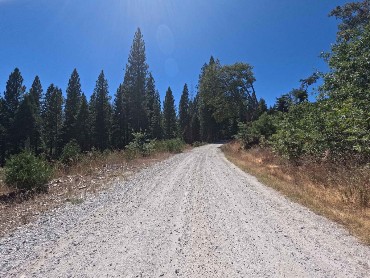
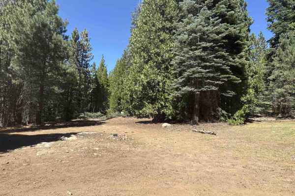
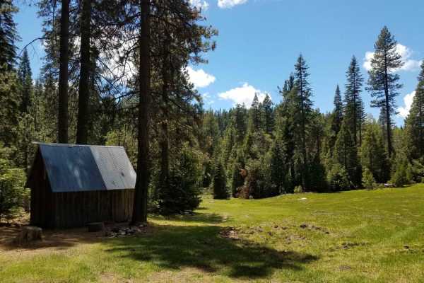
Forest Service Road 6N58 is an inviting out-and-back spur branching directly off Highway 4 and winding through the scenic Stanislaus National Forest. The route climbs gradually through a dense canopy of towering pines and cedars, intermittently opening up to sweeping views of mountain ridgelines to the west. Primarily utilized for dispersed motorized recreation and quiet backcountry escapes, this passage guides visitors away from highway traffic into peaceful alpine terrain. The route terminates at an idyllic, isolated meadow campsite just beyond a picturesque, shallow creek crossing, making it a great destination for a serene day trip or remote overnight camp.
Difficulty
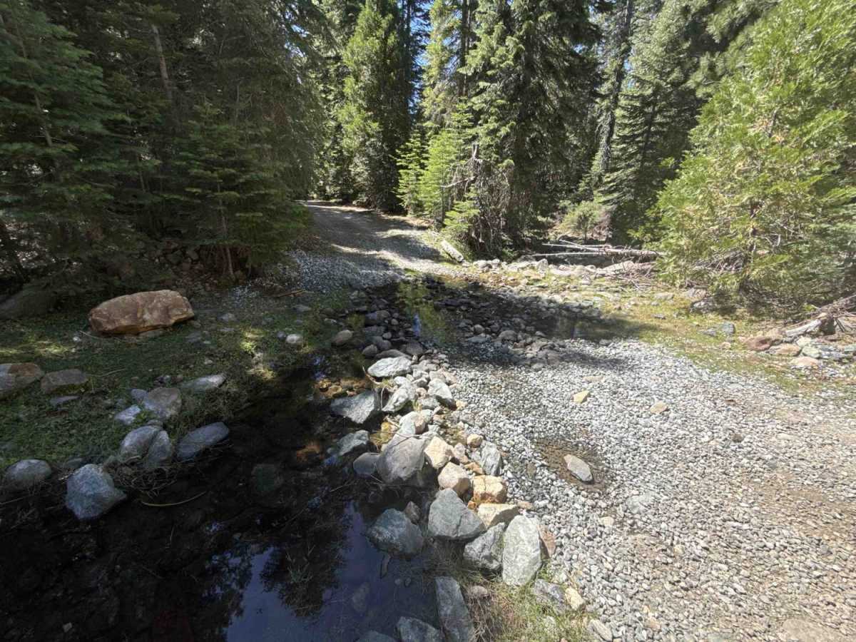
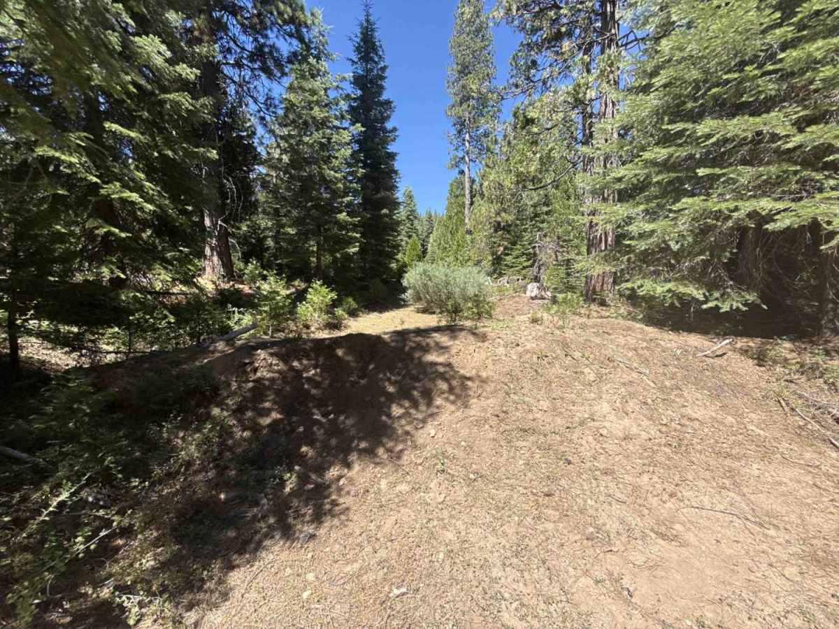
This route consists of a well-graded single-lane dirt road topped with persistent loose rock and gravel. Obstacles are very mild, presenting only intermittent shallow ruts and gentle drainage dips measuring 6 to 8 inches in depth. Near the terminus, a firm, shallow creek crossing presents no substantial clearance challenges during standard seasonal flow. Navigating the trail is straightforward, requiring only attentive line choices to manage loose stone and standard caution through narrow, tree-lined sections.