Trail Overview
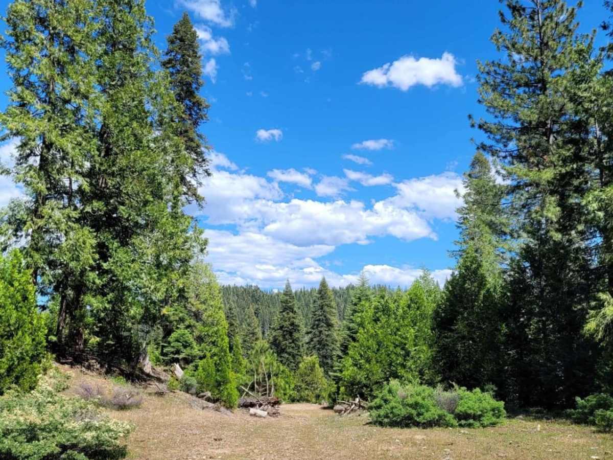
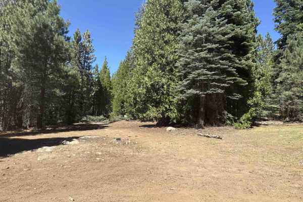
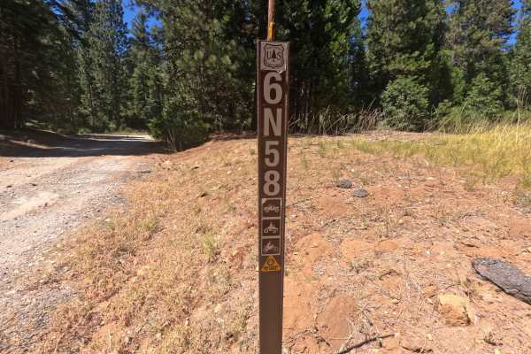
Buck Ranch offers a scenic and accessible off-road experience for beginner and intermediate drivers looking to explore the forested ridges above the South Fork Mokelumne River. This 2.9-mile point-to-point trail begins as an easy, graded logging road for the first mile before transitioning into more challenging, moderately rocky terrain with gentle climbs. Navigating this route requires a high-clearance four-wheel-drive vehicle or capable SxSs to safely manage the rocky sections, though stock SUVs with decent clearance should handle the trail with ease under dry conditions. Elevation along the route ranges from a minimum of 4,996 feet to a maximum of 5,422 feet, yielding a cumulative elevation gain of roughly 700 feet.
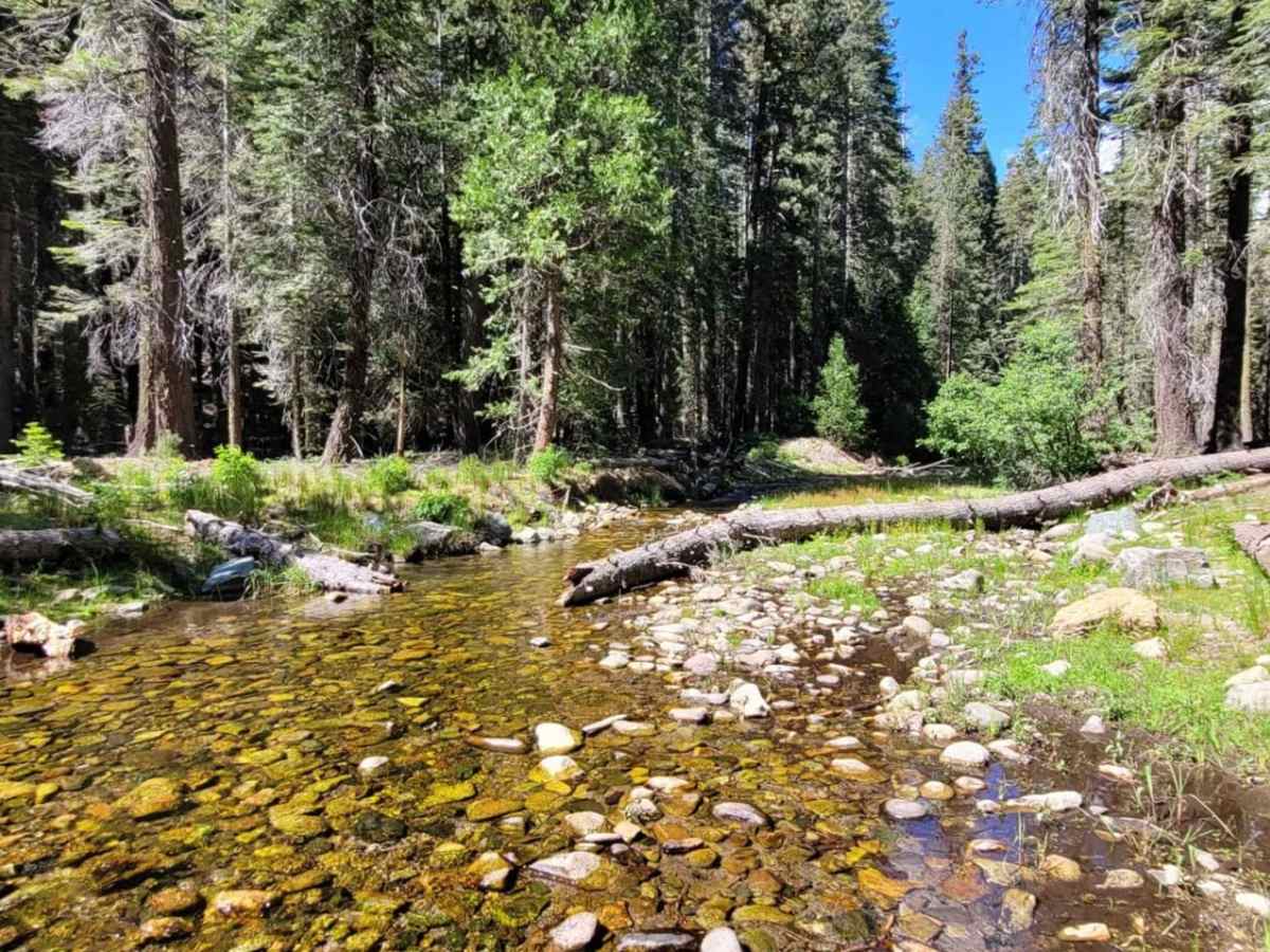
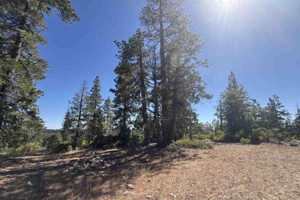
As the trail progresses, the road winds through dense timberland near Airola Creek before reaching its end at a locked Sierra Pacific Industries gate. Because the surrounding Sierra Pacific private property landlocks approximately 17 acres of US Forest Service ground, offroaders must park and travel on foot to explore this isolated public parcel. Given the elevation and forested environment, the route is best enjoyed from late spring through autumn, as winter snows can make the dirt and rock surface impassable. Visitors should respect all posted private property boundaries and prepare for a short hike if they wish to access the public land past the locked gate.
Access Description
The trail ends at a locked Sierra Pacific Industries gate. Because private property surrounds and landlocks approximately 17 acres of US Forest Service land, visitors must park and travel on foot to access this public parcel. Respect all posted private property boundaries.



 Offroad