Trail Overview
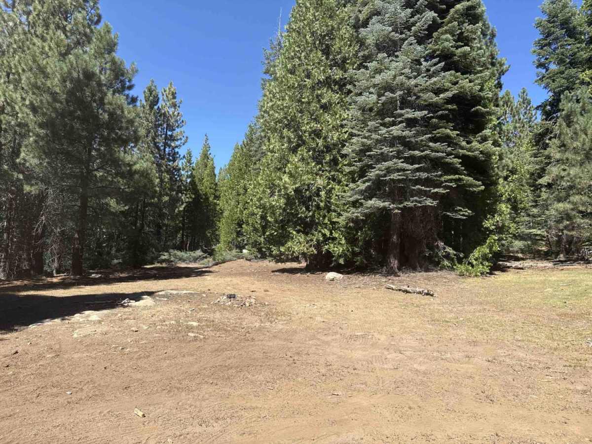
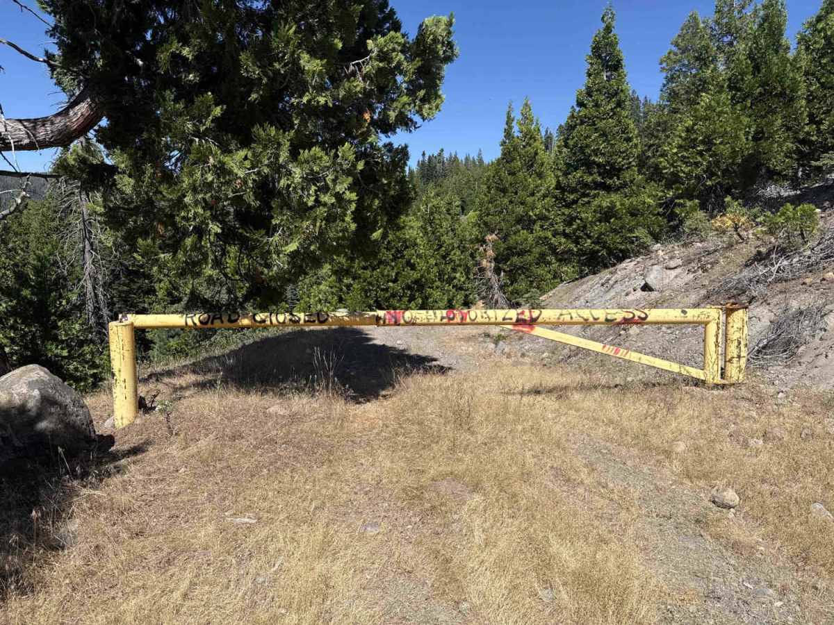
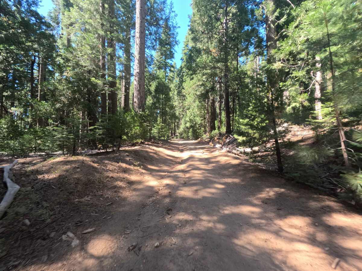
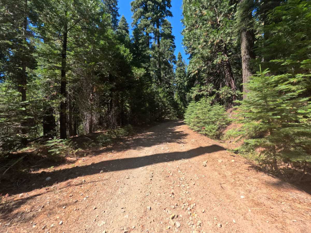
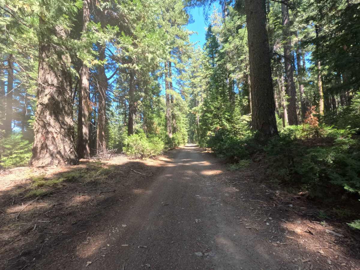
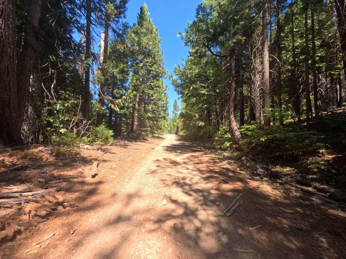
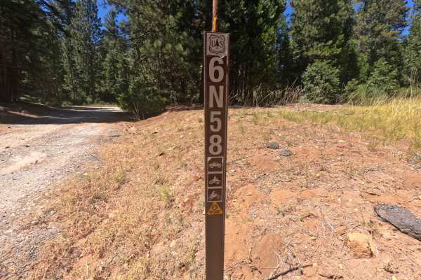
Connecting from Forest Service Road 6N58 and weaving through the backcountry to an old locked gate near FS 6N69, Forest Service Road 6N11 is an engaging woodland route in the Stanislaus National Forest. The trail traverses an expansive mixed-conifer landscape characterized by tall pine and fir canopies, open logging clearings, and gentle mountain terrain. Composed of a single-lane native dirt surface layered with gravel and scattered rock. Designated for motorized recreation, this thoroughfare is primarily used by off-highway vehicle enthusiasts exploring the surrounding trail system or travelers looking for private dispersed campsites, notably near the FS 6N62 junction. The route provides a fun, scenic backcountry passage that bridges multiple forest corridors.
Difficulty
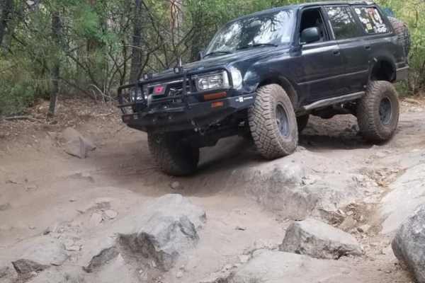
This route features variable terrain that shifts between smooth dirt sections and rough, loose rock beds. Notable obstacles include intermittent erosion ruts, small washouts, and stretches of embedded stones and loose cobble along the tread. Maintaining a measured, steady pace and choosing smooth lines through the rocky undulations ensures ample underbody clearance and reliable traction across uneven sections.