Trail Overview
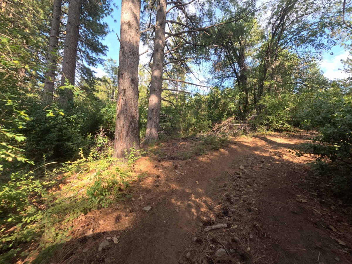
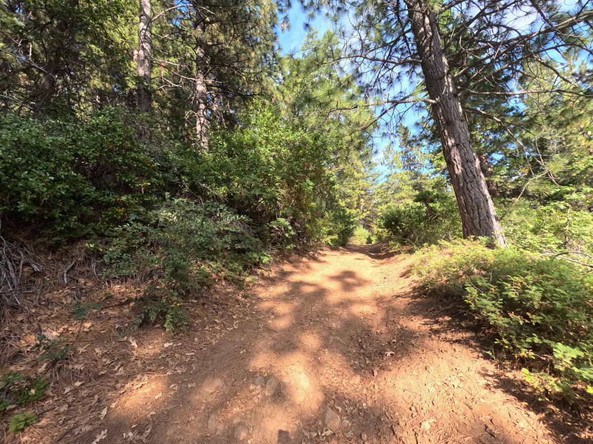
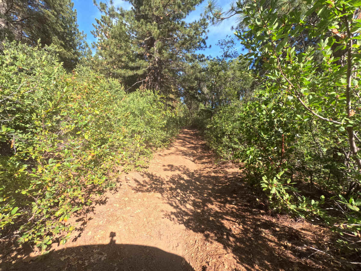
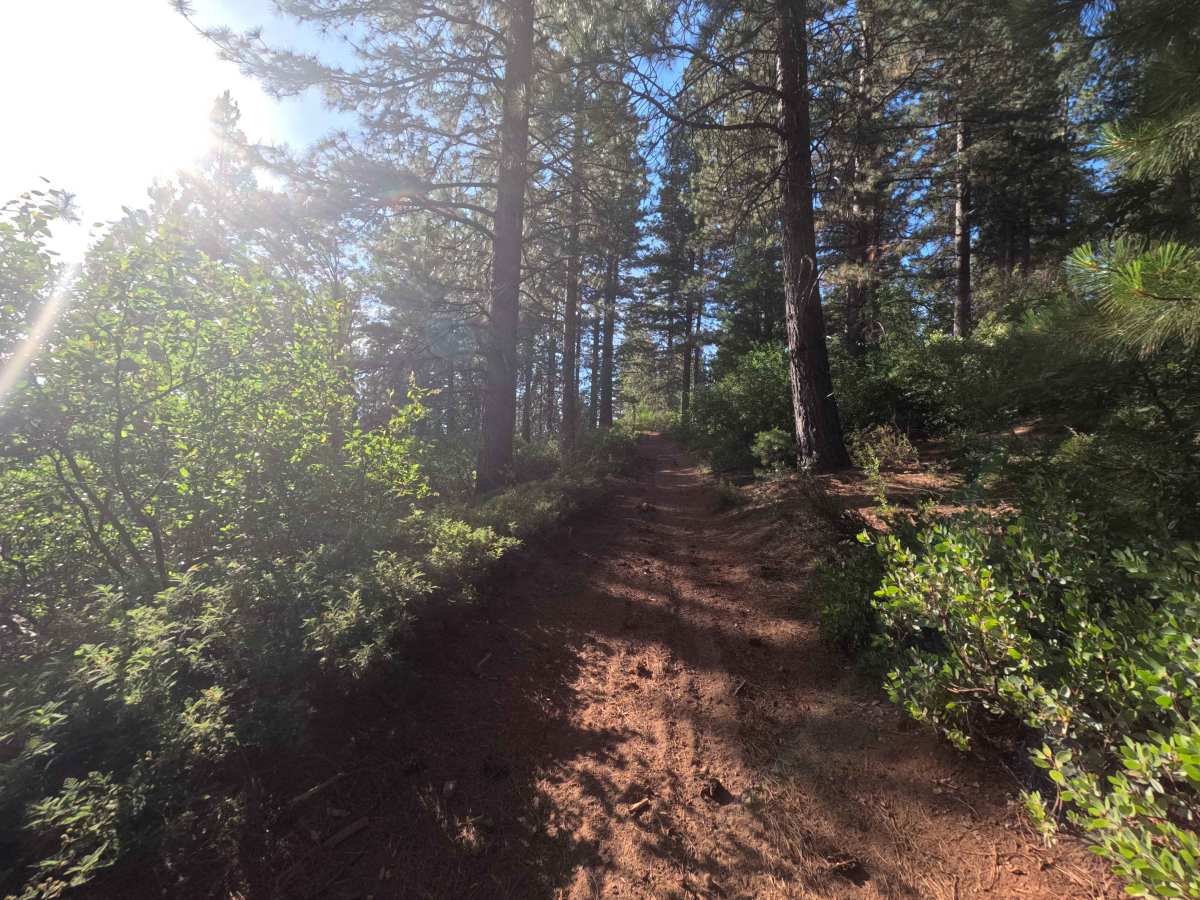
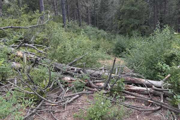
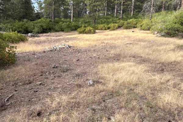
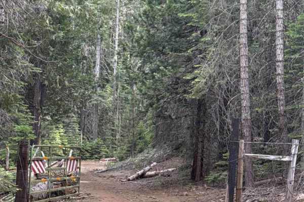
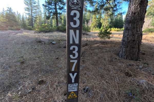
Forest Service Road 3N42Y ascends from the Wrights Crossing area within the Stanislaus National Forest, operating as a rugged connector route that links to spur FS 3N42YB and surrounding mountain tracks. The route weaves through a dense mixed conifer forest filled with towering pines, mature cedars, and a thick understory of mountain scrub oak and manzanita. Featuring a single-lane primitive dirt and fractured stone surface, the track earns an overall difficulty rating of 3 due to its demanding western half. The lower ascent presents a steep incline embedded with loose rock, uneven earthen ruts, and small rock ledges that require deliberate line selection. Throughout this technical section, heavy roadside vegetation crowds the narrow track, resulting in continuous foliage contact along tight bends. Once past the junction with FS 3N42YB, the terrain eases into a gentle, pine-needle-covered dirt road. Drivers travel this road to navigate between backcountry trail networks and reach remote ridgetop corridors.
Difficulty
Rated a 3 due to the steep climb, uneven erosion channels, embedded rock shelves, and heavily encroached corridor on the western portion. Tackling the initial grade requires steady momentum and careful wheel placement to maintain traction over loose stones and navigate around deeper ruts without contacting the vehicle underbody. The path is exceptionally narrow with blind turns, making brush contact and cosmetic paint scratches unavoidable. Past FS 3N42YB fork, the route transitions to an easy grade, but drivers should still maintain a cautious speed for loose debris and tight tree clearances.



 Offroad