Trail Overview
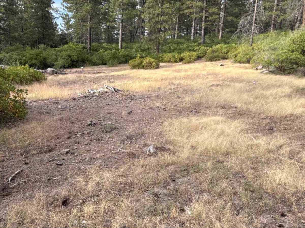
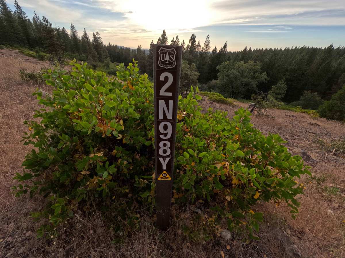
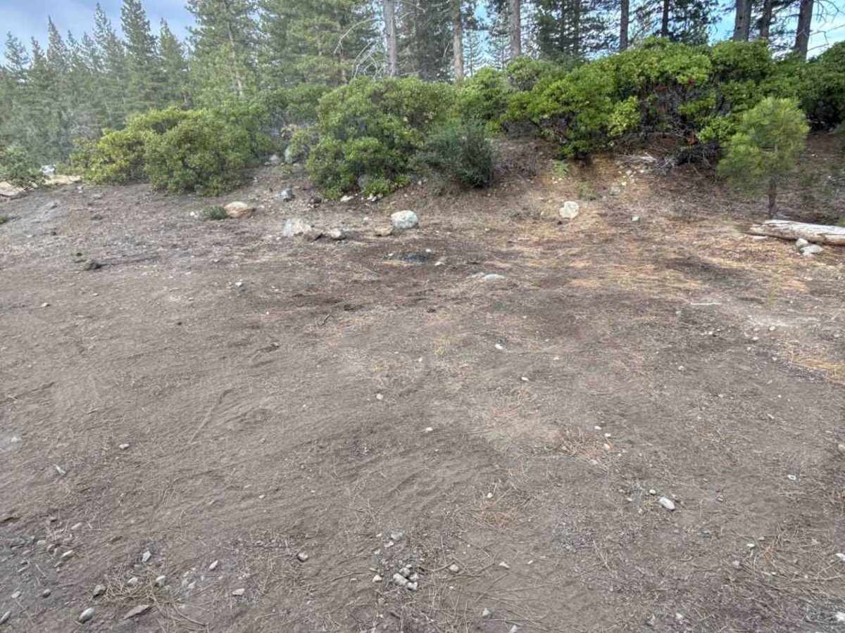
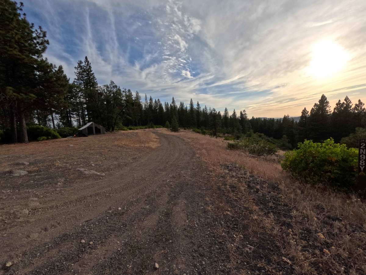
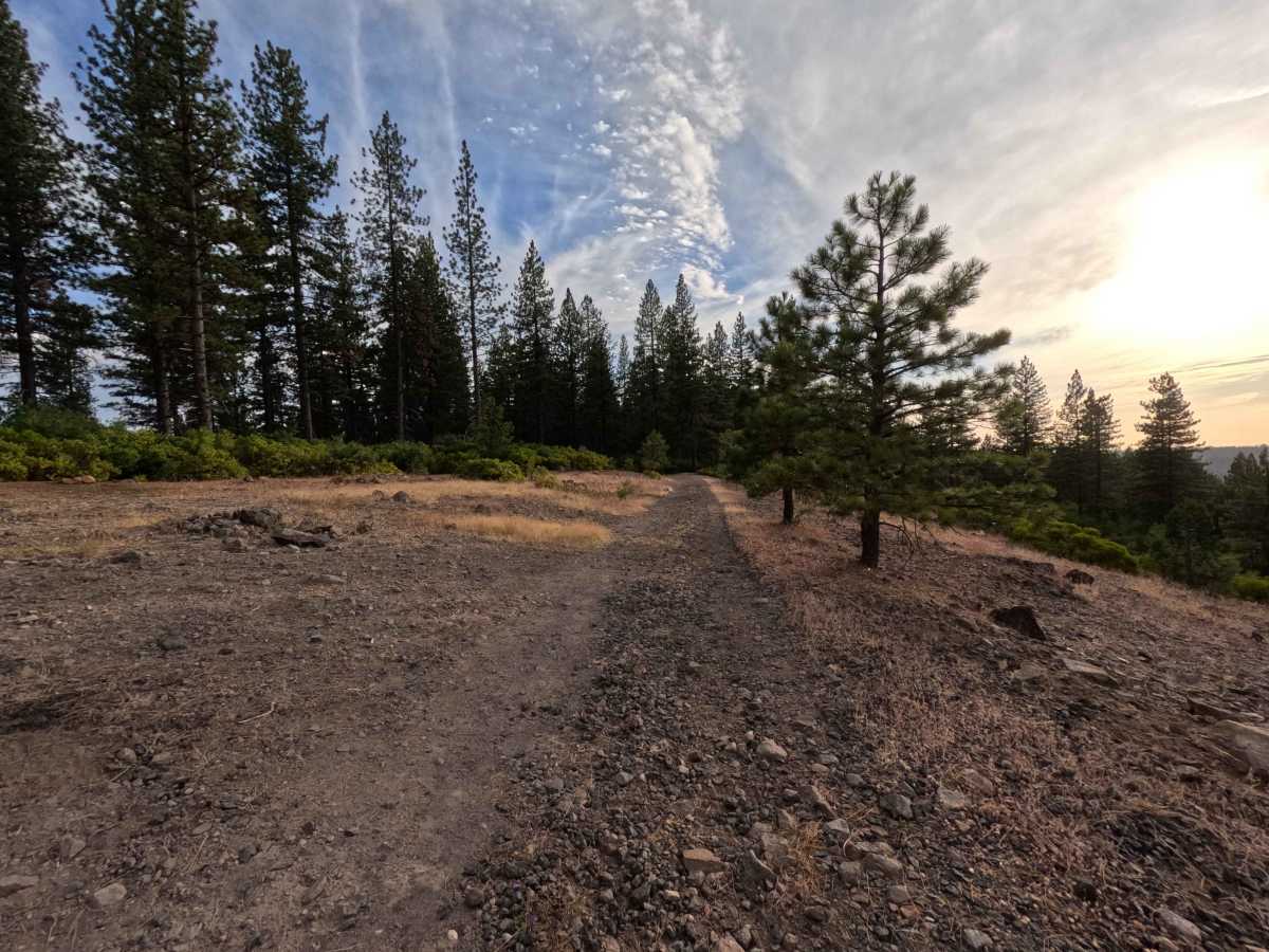
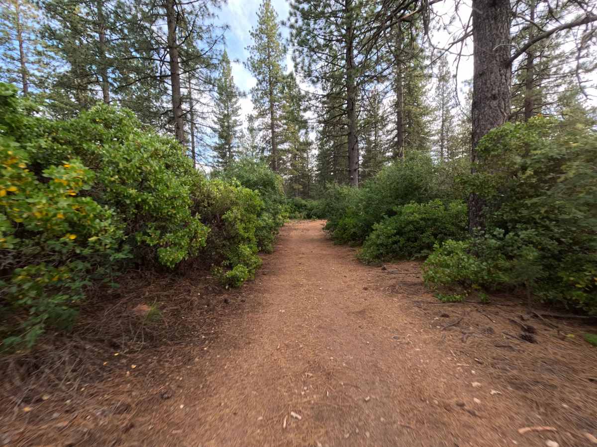
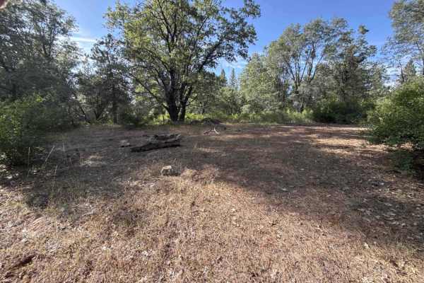
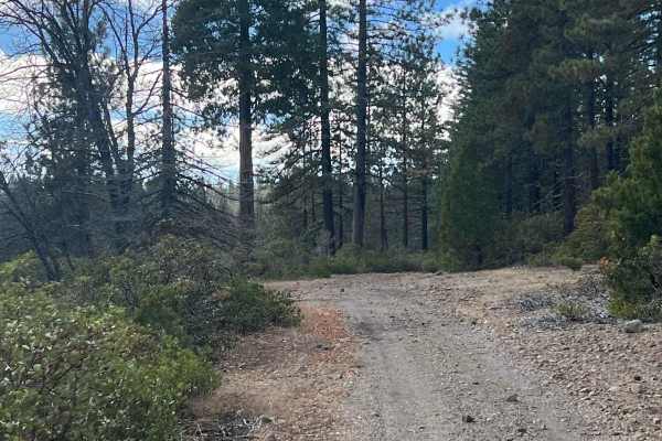
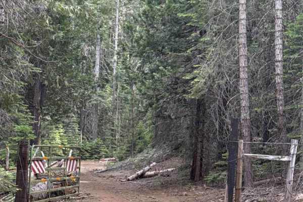
FS 2N98Y acts as an elevated connector link between FS 3N07 on its eastern crest and FS 2N17 to the southwest. Situated high within the Stanislaus National Forest, the track traverses scenic ridgelines shaded by open pine stands and flanked by thick mountain chaparral and manzanita. The single-lane roadbed is composed of hard-packed earth, loose gravel, and extensive cobble stretches, carrying a difficulty rating of 2. Along the upper perches, wide clearings host primitive dispersed campsites that offer prime vantages for watching sunsets over the mountain range. As the road dips through wooded sections, the brush crowds the corridor closely, making light brush scuffs unavoidable. Backcountry explorers utilize this route as a scenic shortcut across the ridge system and as a quiet destination for ridge-top camping.
Difficulty
Rated a 2 due to constant bumpy terrain, continuous sections of loose rock and river-like cobble beds, and narrow corridors pinched by encroaching brush. The track lacks steep shelf drop-offs or large technical boulders, but the rough rock fields require a slow, deliberate pace to prevent excessive jostling and protect underside vehicle clearance. Picking smooth lines over uneven rocky patches, easing through shallow dirt dips, and accepting light contact from soft roadside foliage ensures a safe and manageable drive from end to end.