Trail Overview
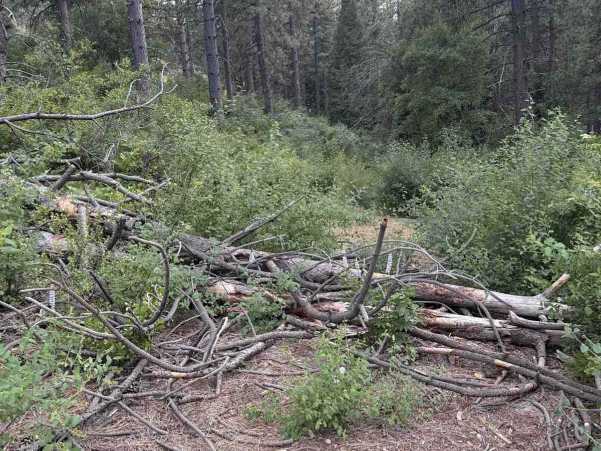
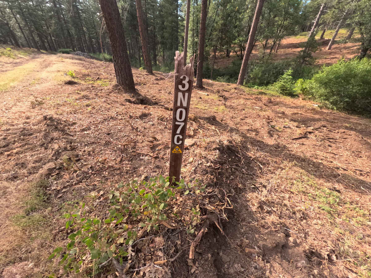
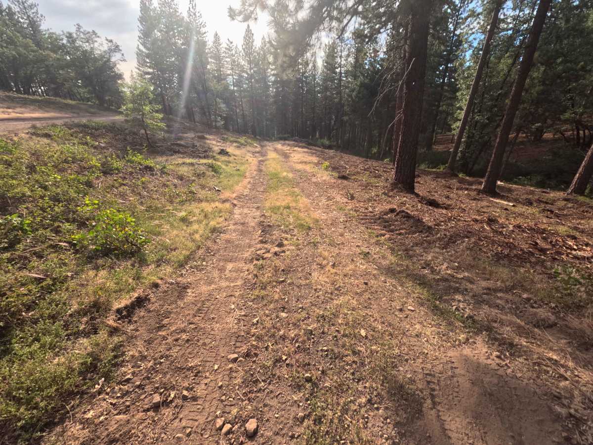
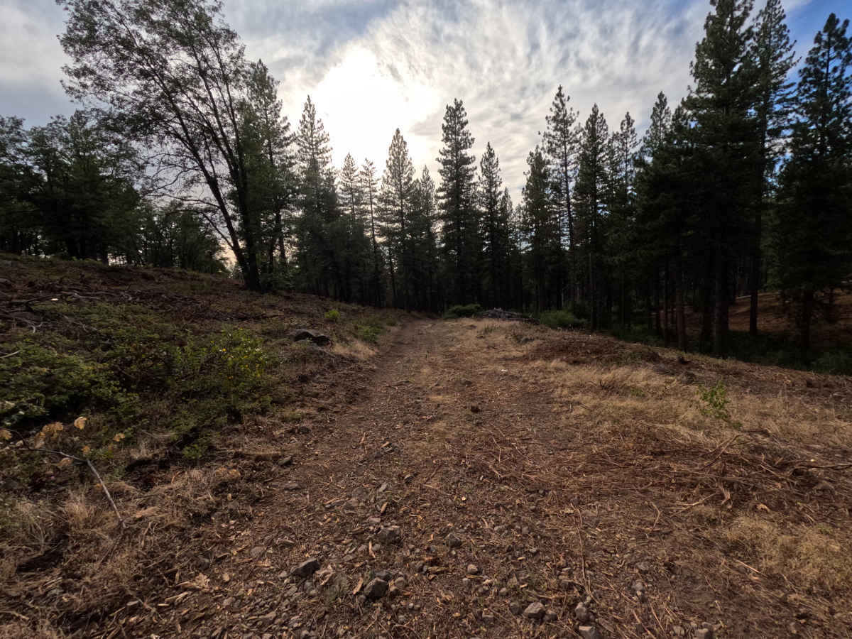
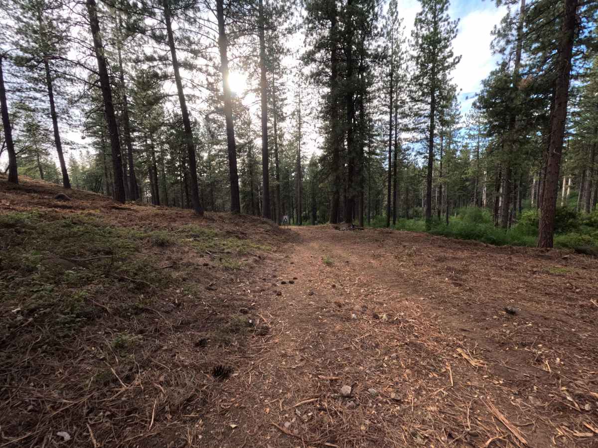
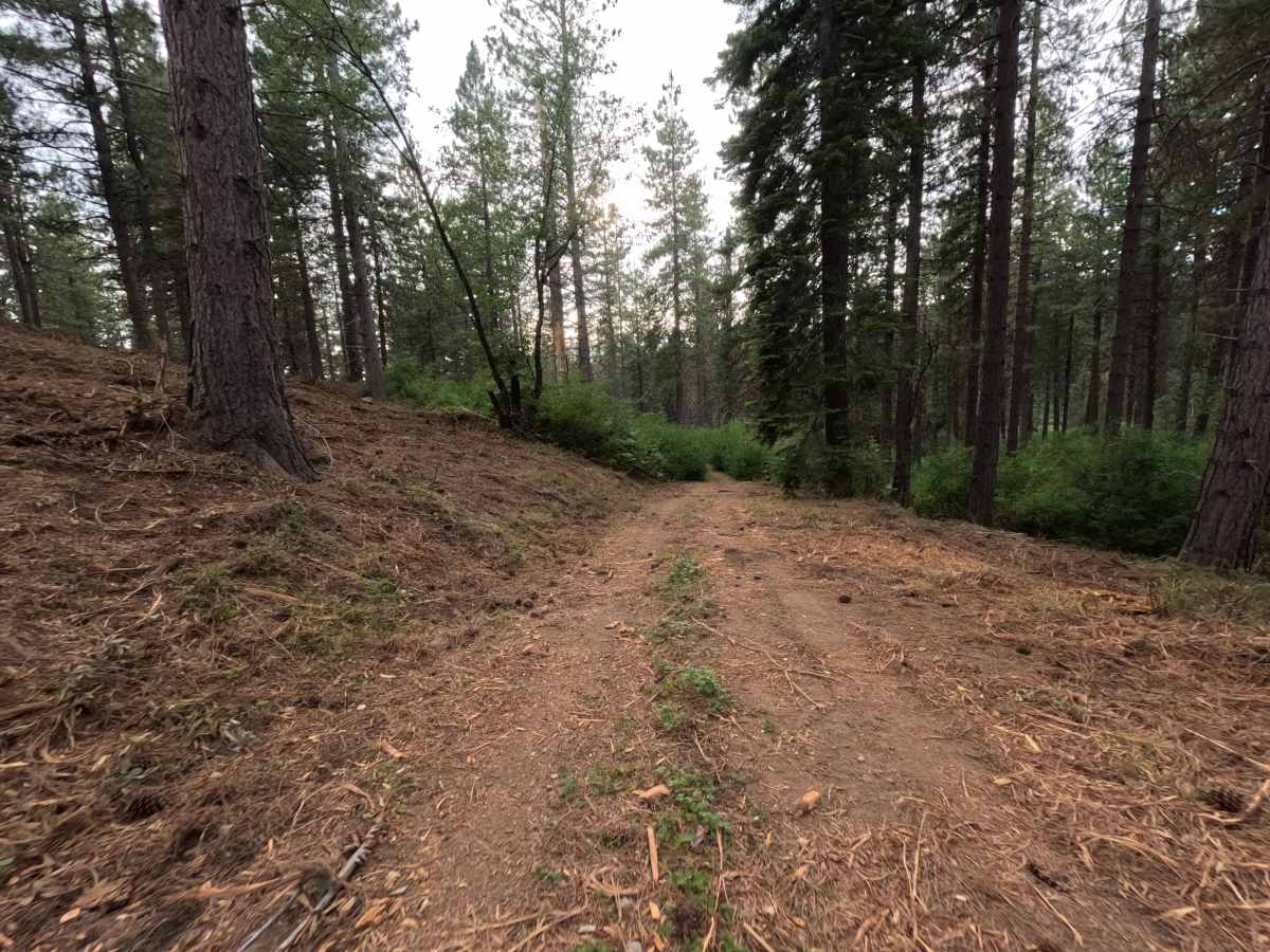
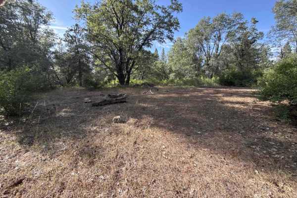
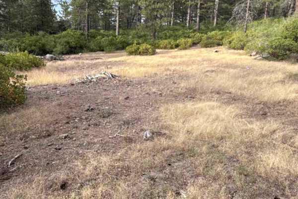
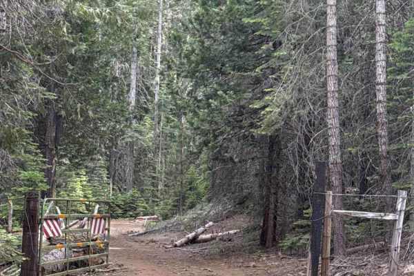
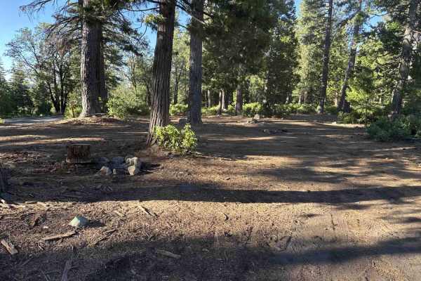
Forest Service Road 3N07C branches east off FS 3N07 within the Stanislaus National Forest, descending gently as a secluded out-and-back spur. The route travels through a dense conifer environment framed by towering ponderosa pines, mountain oaks, thick clusters of leafy shrubs, and lush green bracken ferns. Featuring a single-lane packed dirt surface layered with pine needles and loose forest litter, the road maintains a straightforward difficulty rating of 1. Near the entrance, a wider dirt opening provides an informal clearing commonly utilized by visitors for target shooting against the hillside. Beyond this clearing, the trail narrows as robust undergrowth and tall shrubs crowd both flanks of the corridor, leading down to a permanent dead end where a large downed tree and tangled brush block further vehicular throughput. Recreationists primarily utilize this short spur for target practice, peaceful woodland exploration, or a brief scenic detour away from the main road.
Difficulty
Rated a 1 due to the level, stable dirt tread, gentle downhill gradient, and total absence of severe ruts, exposed rocks, or technical obstacles. Driving this track is uncomplicated, though encroaching leafy branches and roadside underbrush make light vehicle contact and superficial paint scuffs unavoidable along the narrow corridor. Maintain a slow speed and take care when executing a multi-point turn at the terminal tree fall to ensure a hassle-free trip.