Trail Overview
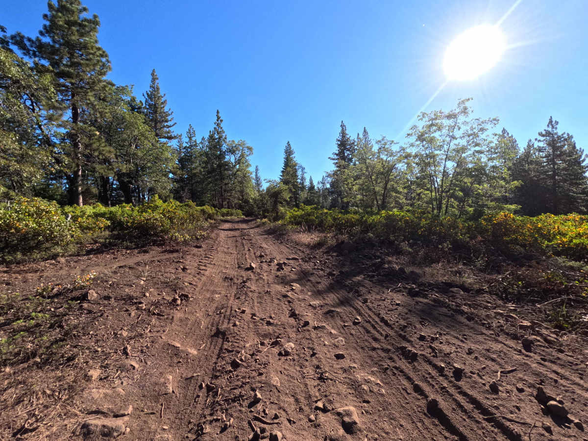
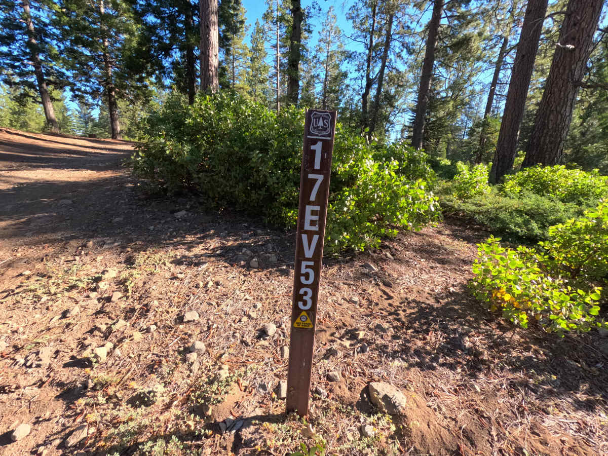
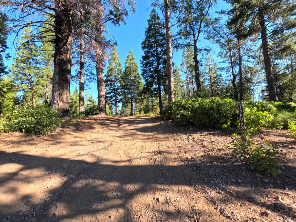
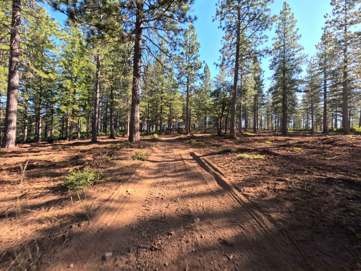
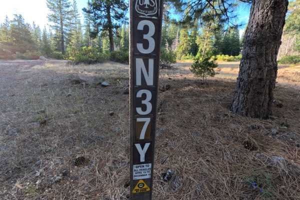
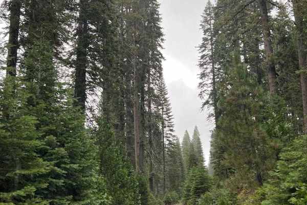
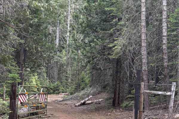
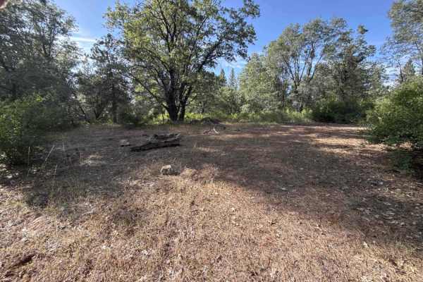
Starting right off Merrill Springs Road- FS 03N01, this route is a single-lane OHV connector that heads deeper into the backcountry trail network. Managed by Stanislaus National Forest, the route travels through a tall pine and fir forest with thick patches of green manzanita bushes along the edges. The trail surface is mostly packed dirt and loose soil from recent forest thinning, with a rocky climb at the far end. The drive starts smooth and easy beneath the trees before crossing an intersection with FS 17EV54. Near the end, the path turns uphill into a small rock garden scattered with loose cobbles and small embedded boulders. Drivers commonly use this road to link between 4x4 trails, reach high-elevation ridge spurs, and explore the Merrill Springs OHV area.
Difficulty
Most of the route is an easy dirt and gravel track with soft soil and light ruts. The final section features a short uphill rock garden with loose stones and protruding rocks up to 10 inches tall. Drivers should maintain slow, steady throttle and pick a smooth line through the rocky rise to clear the taller rocks safely without scraping the underside.