Trail Overview
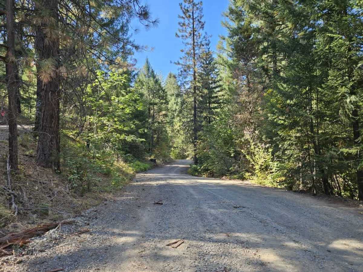
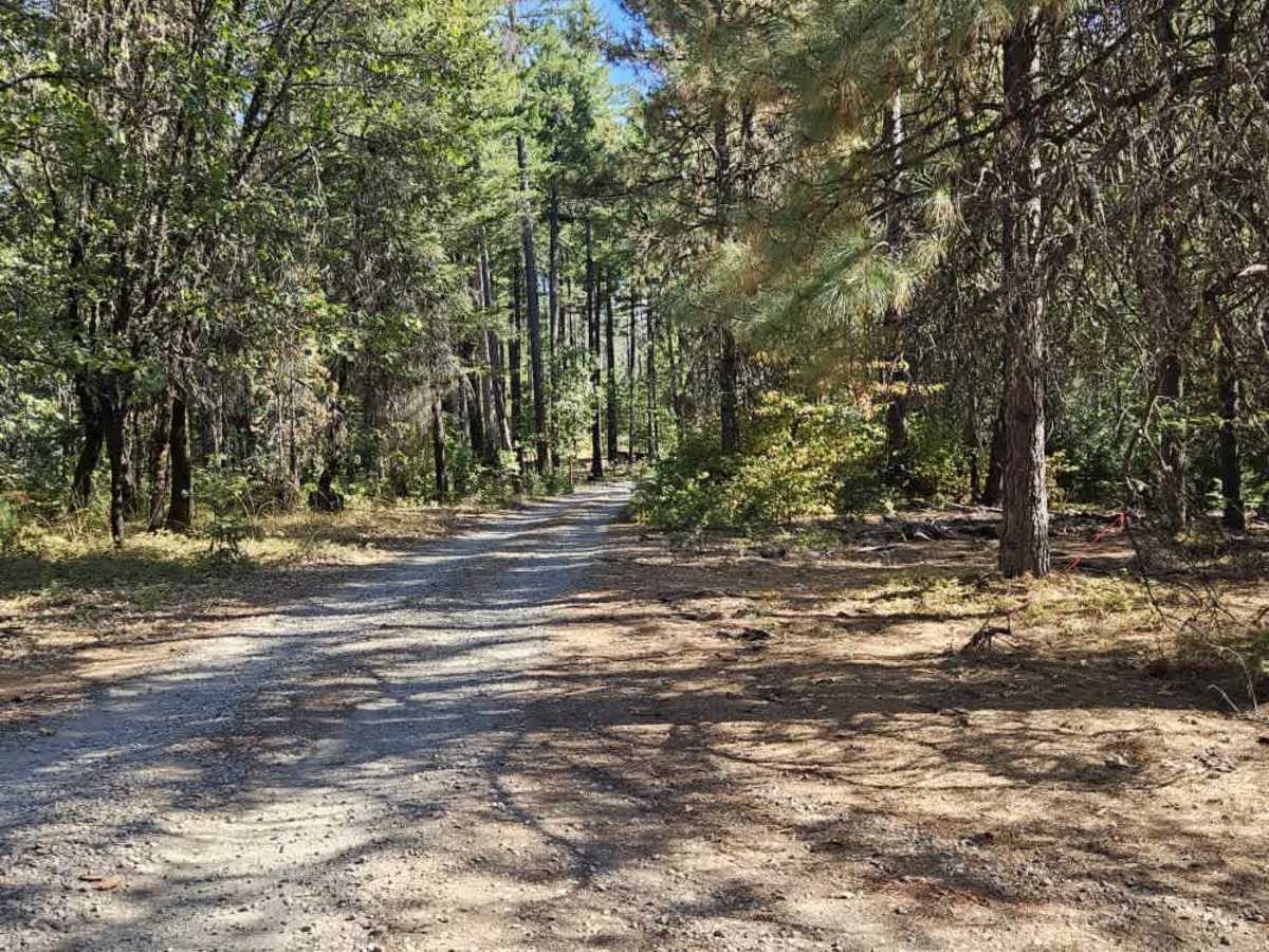
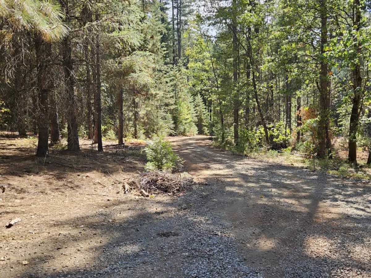
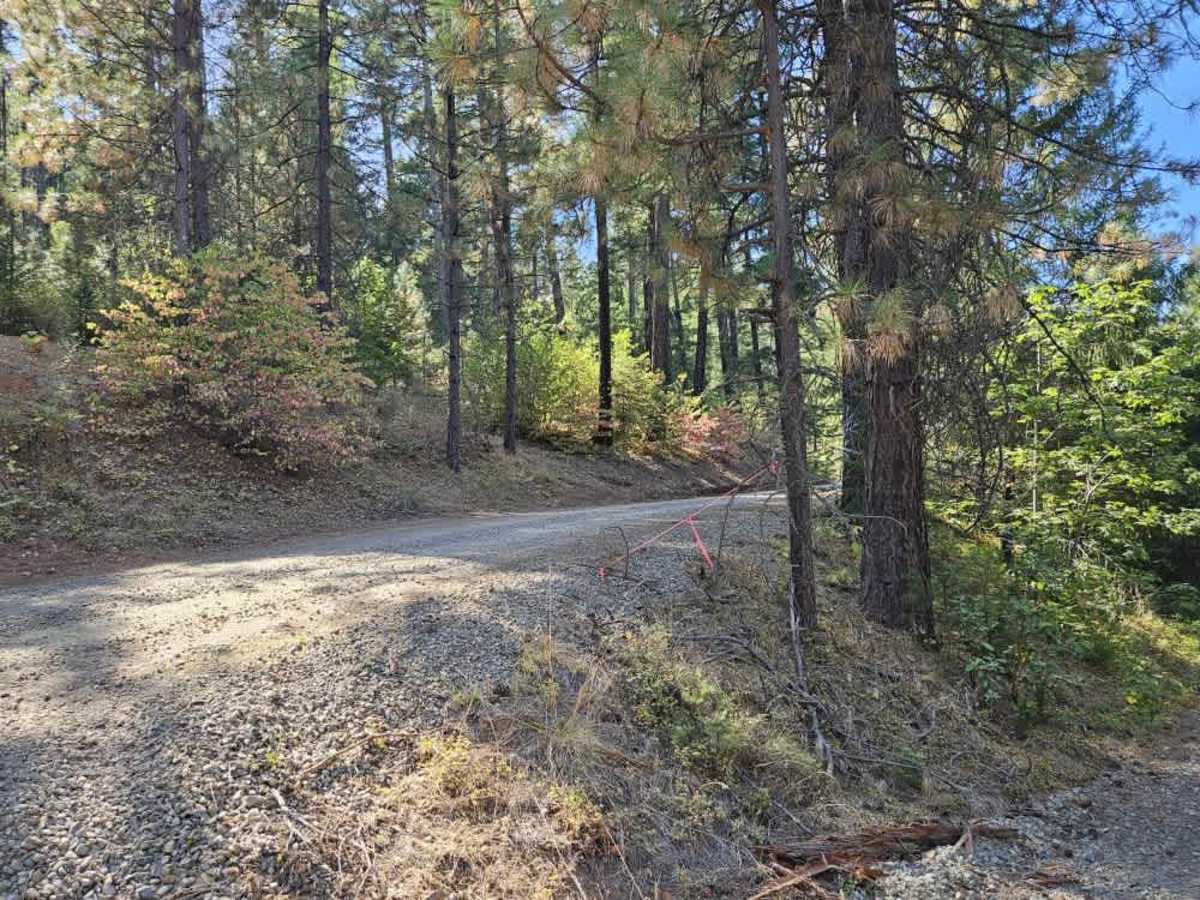
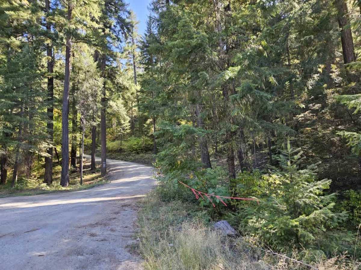
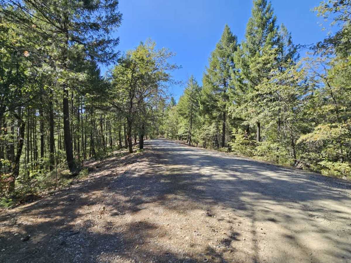
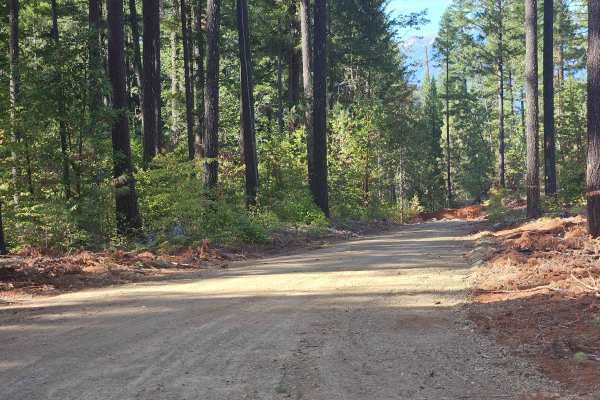
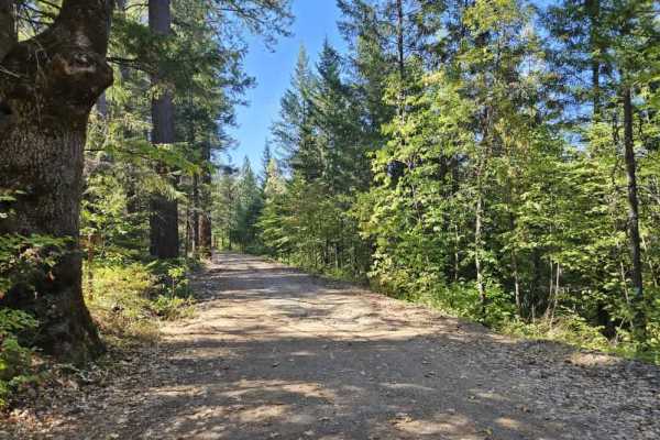
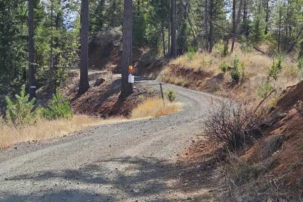
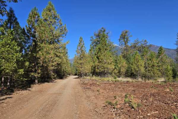
This trail connects to paved Highway 105 and serves as a main feeder route to the surrounding trail system. It climbs steeply through the forest on a well-maintained gravel surface, with numerous switchbacks, blind corners, and narrow sections. The winding route requires extra caution, especially around corners with limited visibility. Active logging takes place along the trail, so be prepared to encounter logging vehicles and fast-moving trucks. Give vehicles plenty of room to pass and use particular care on the tighter corners, where both the road and sightlines can be limited. Several trails branch off from the main route, making this an important access point for reaching other trails throughout the area. Near the end, the trail reaches an intersection marked with a sign warning of active logging, and logging vehicles were present. Despite the logging activity and traffic, the trail winds through a beautiful forest and provides a useful route into the surrounding trail network. Few facilities line the route, and cell phone reception is limited. This route is subject to Seasonal Designation from 05/01-10/31. Please check local regulations and current conditions before traveling. ATVs, UTVs, Side-by-Sides, and Dirt Bikes must always have a valid California ATV Operating Permit sticker.

 Offroad