Trail Overview
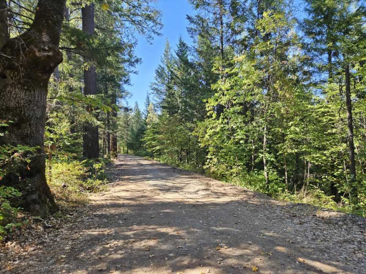
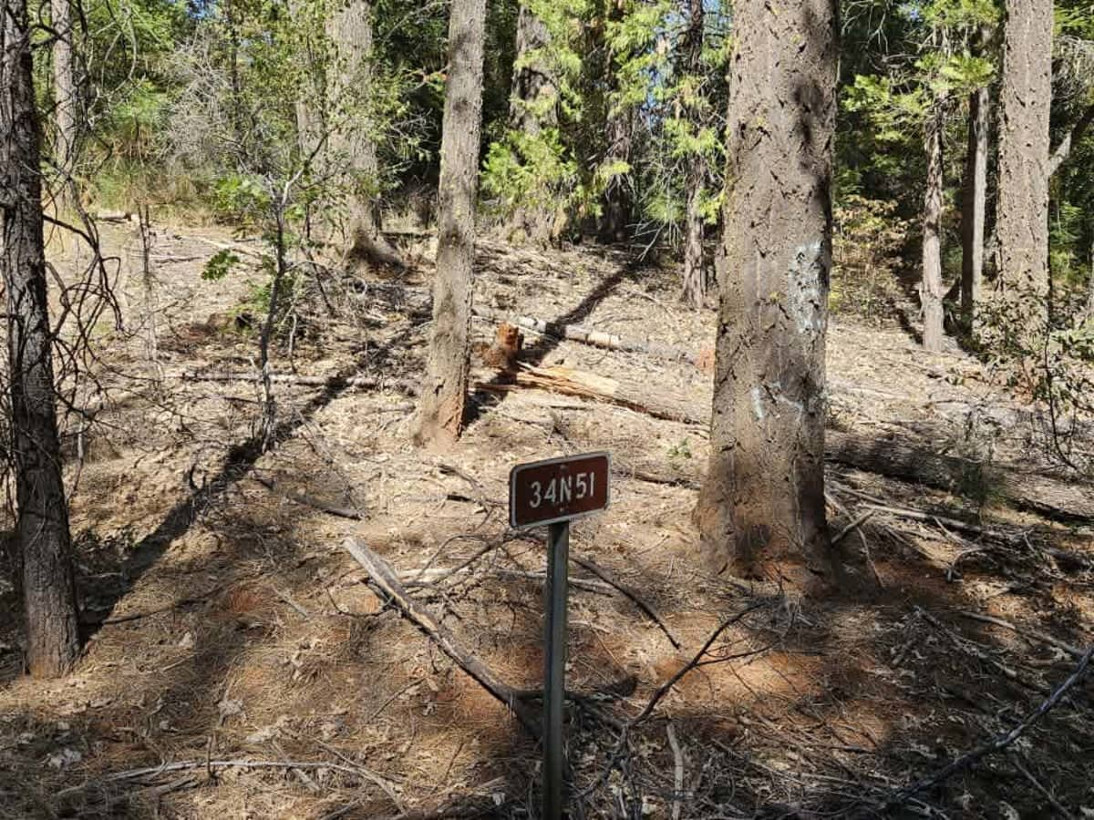
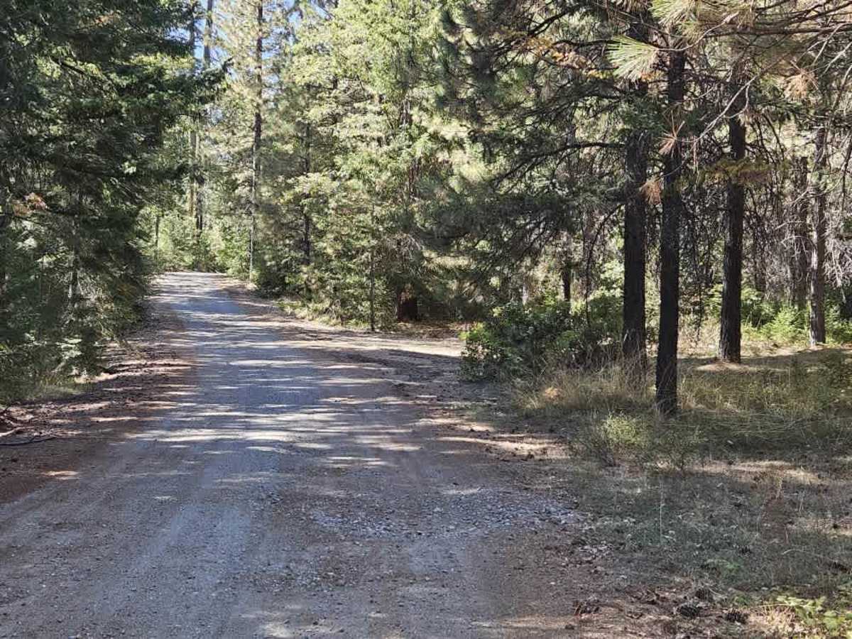
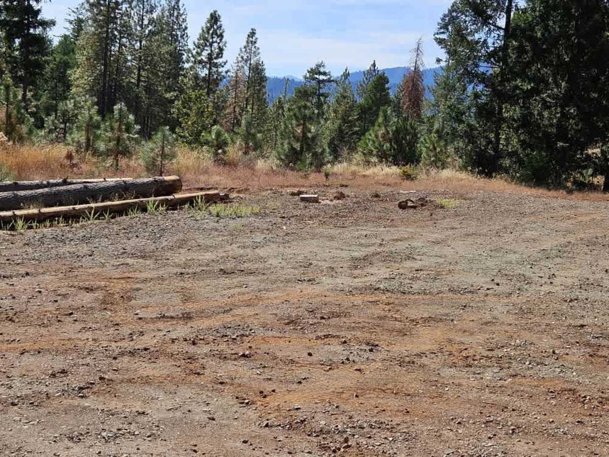
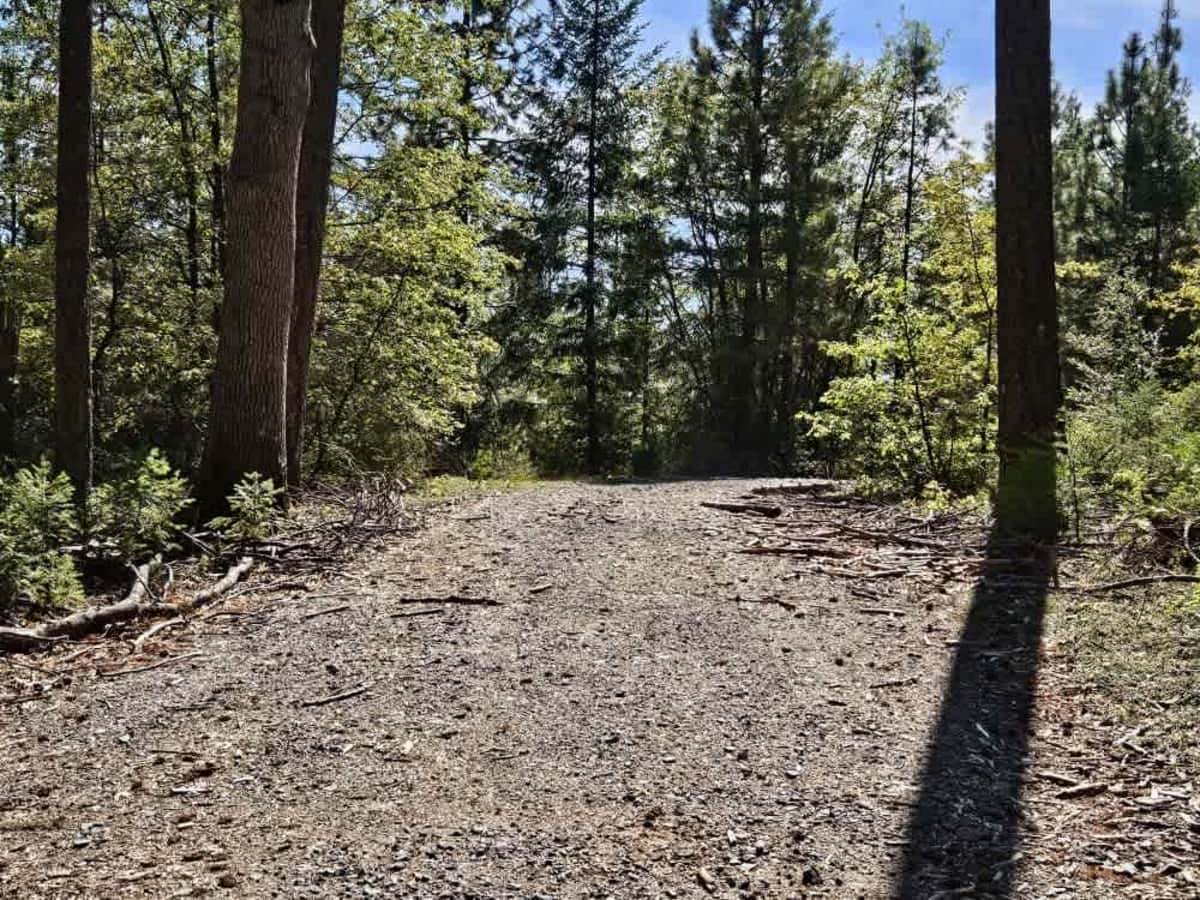
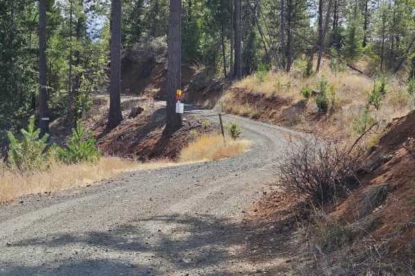
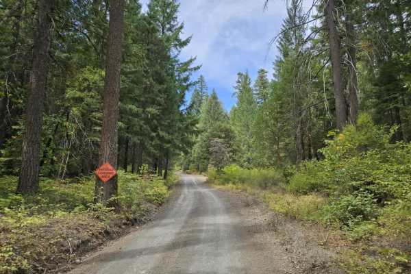
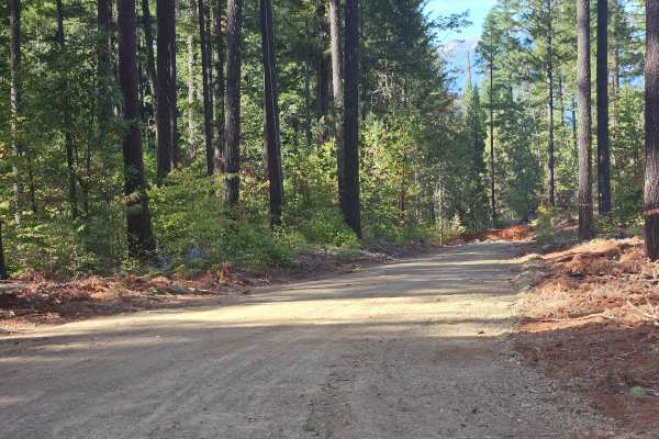
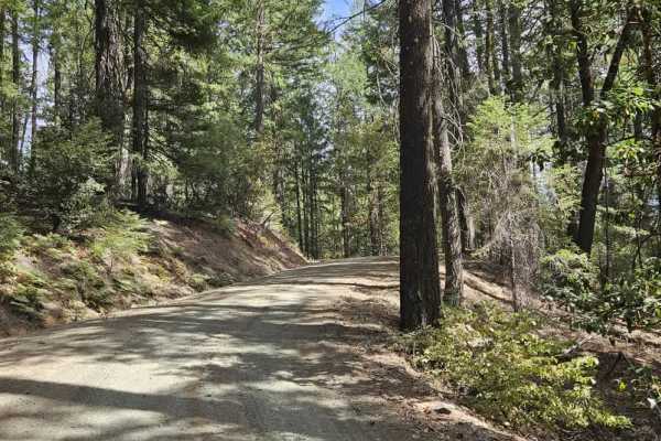
This trail is accessed from paved Highway 105 and begins with a fairly steep climb on a well-maintained gravel surface. The route winds uphill through the forest, with evidence of logging activity along the way. About halfway up the initial climb, a large open area provides plenty of room to turn around and could also be used for parking. Farther along, the trail continues through the forest with a couple of smaller routes branching off the main road. One of these connects to 34N51A, which appears rough and unmaintained. Near the end, the trail splits into two separate routes, providing access to additional trails in the area. A large dispersed camping area is located around this section, and there is also evidence of dispersed camping along the route. Signs of conflict with a local company or entity identified as SPI include vandalized SPI signs and profanity-laden signs attached high in trees. Use caution around these areas and be aware of the surrounding activity. The route provides access to several other trails but otherwise has very few facilities and limited cell phone reception. ATVs, UTVs, Side-by-Sides, and Dirt Bikes must always have a valid California ATV Operating Permit sticker.

 Offroad