Trail Overview
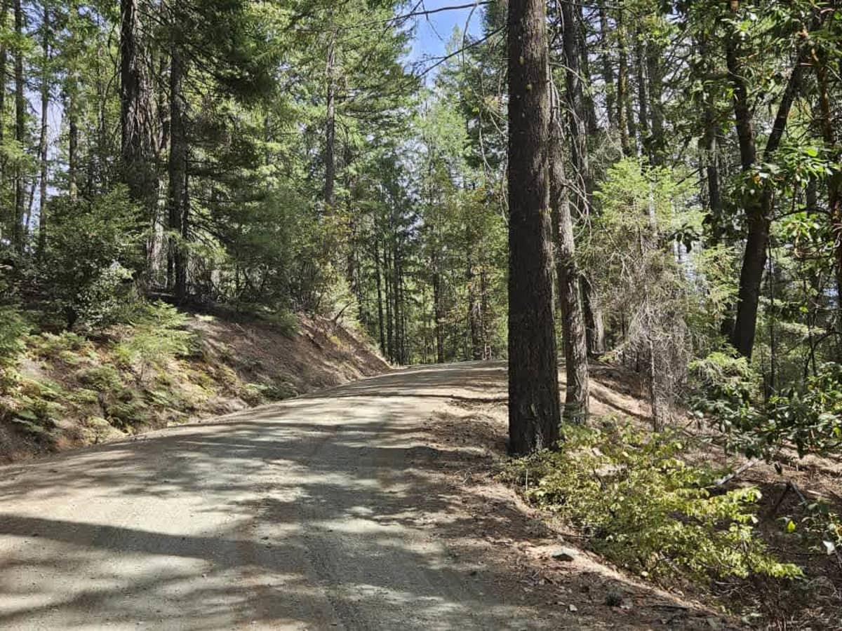
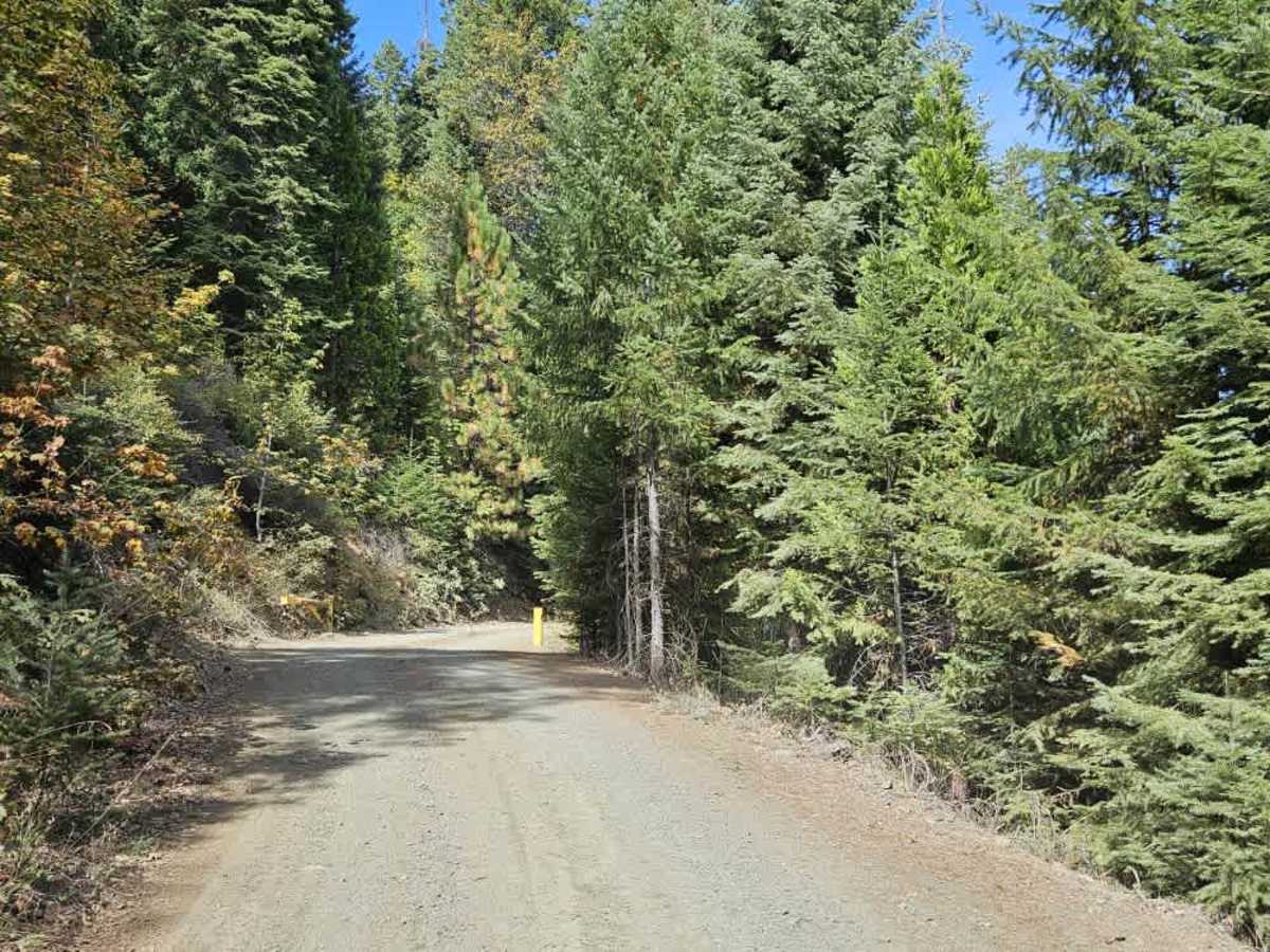
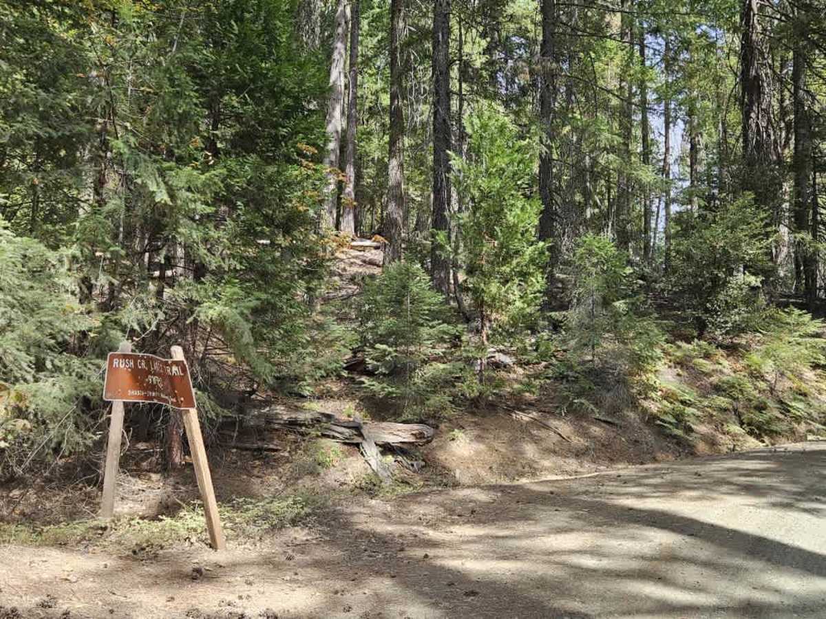
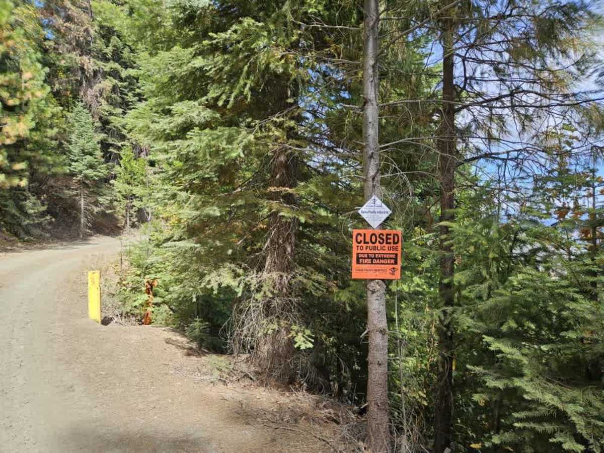
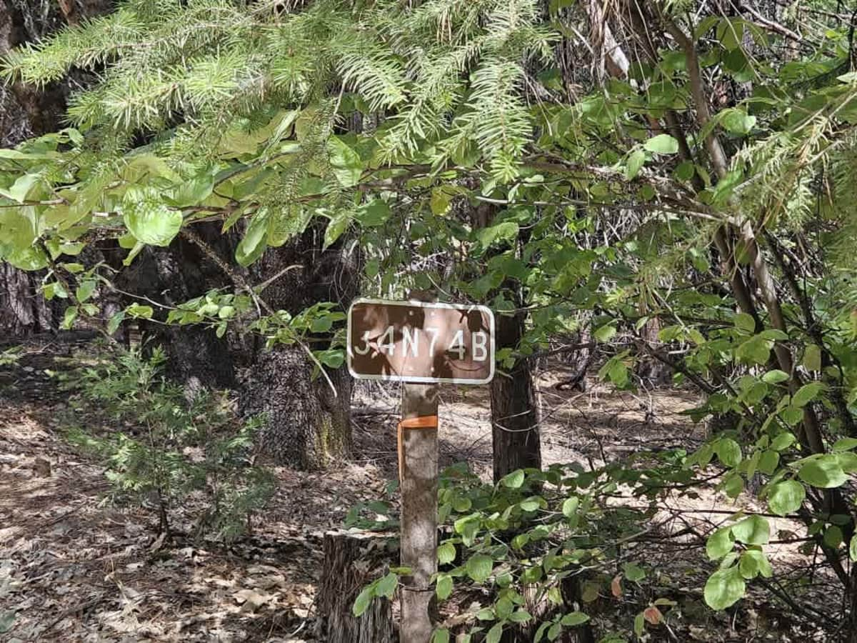
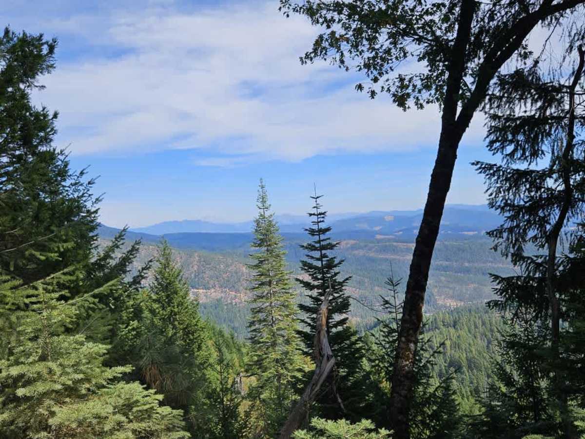
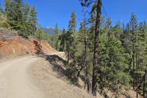
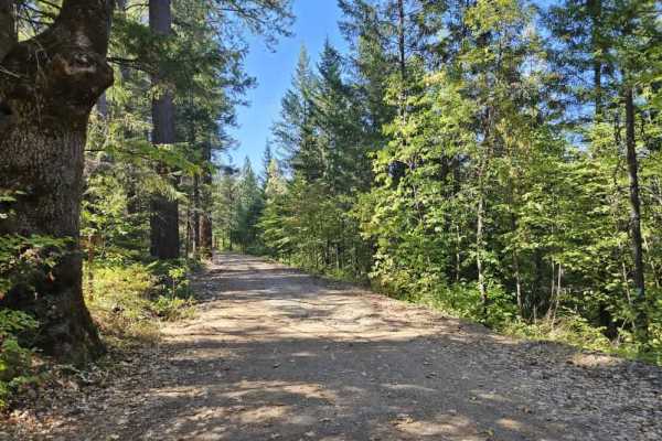
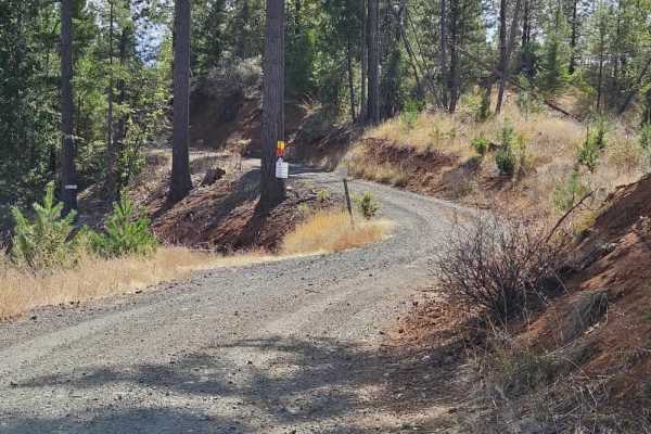
This trail begins at Kinney Camp Road - FS 34N74 and immediately climbs steeply up the mountain. The route is well maintained with a smooth gravel surface and only a few minor bumps, but the numerous switchbacks, steep climbs, and tight turns require caution. Some sections can also be slippery. The trail remains narrow in places, with steep uphill and downhill grades, so watch for other vehicles. This is still an active logging area, and the numerous vehicle tracks indicate that traffic is possible in either direction. Give way to vehicles traveling uphill. A hiking trail, called Rush Creek Lakes Trail, branches off along the route, with a small parking area just before it. The trail is otherwise fairly rustic, with only one or two additional side routes that do not appear to offer much opportunity for exploration. Near the top, the route reaches an area with beautiful views and a sign stating that private property is closed to public use due to extreme fire danger. A yellow gate was open, but there is no room to turn around directly at the gate. If the gate is open, the road continues a short distance to a safer area where vehicles can turn around. There is no camping or other facilities along the route. 4G cell service was available near the top. ATVs, UTVs, Side-by-Sides, and Dirt Bikes must always have a valid California ATV Operating Permit sticker.

 Offroad