Trail Overview
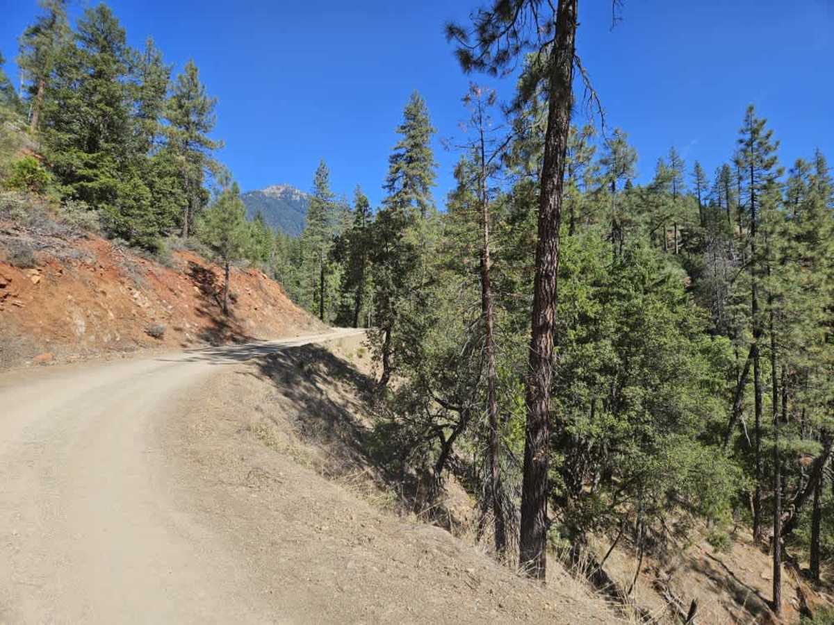
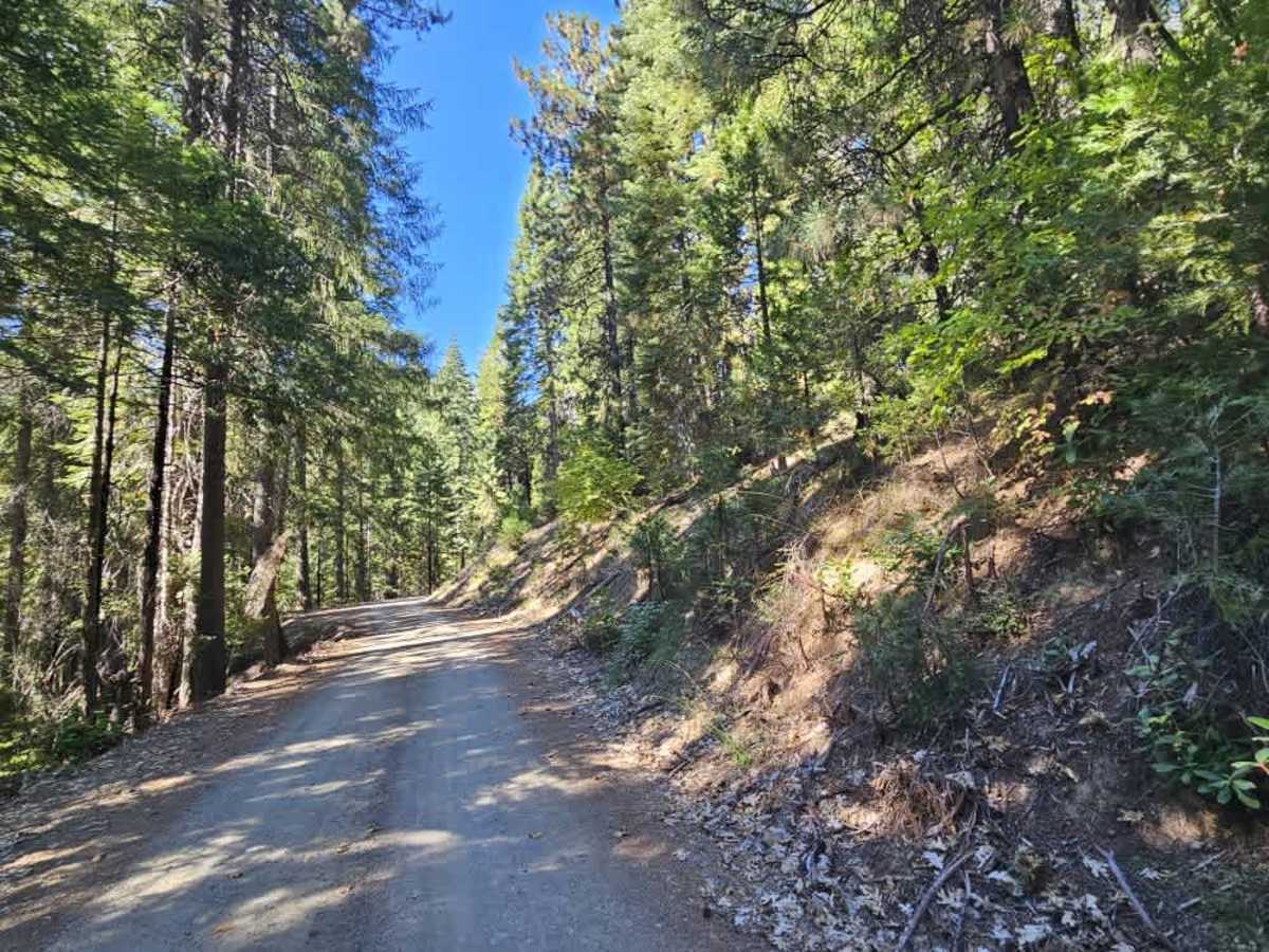
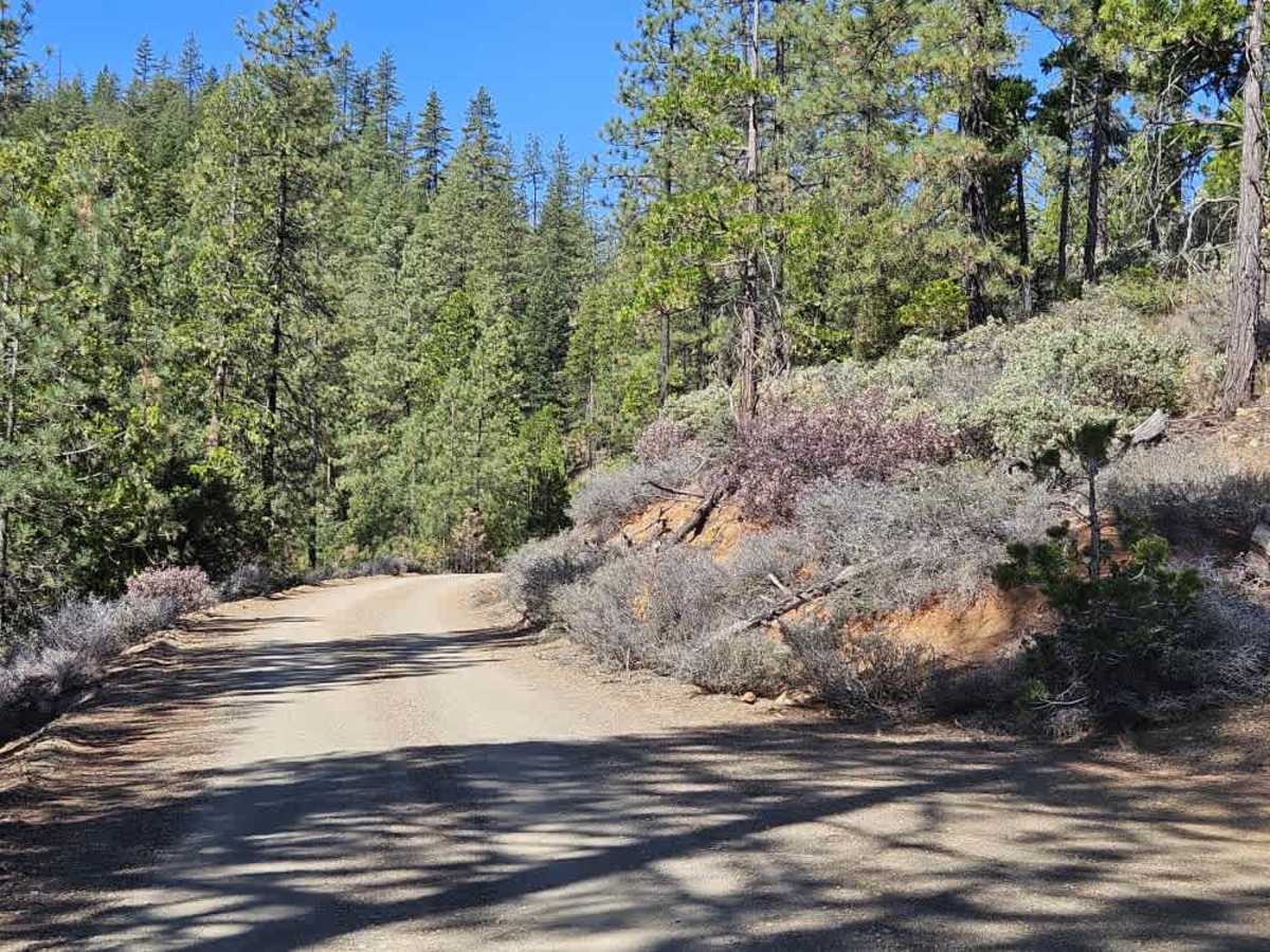
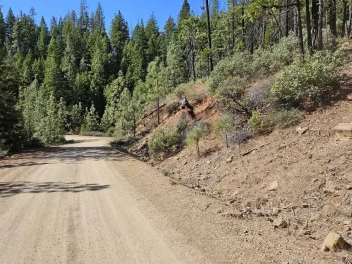
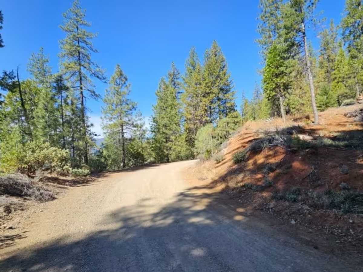
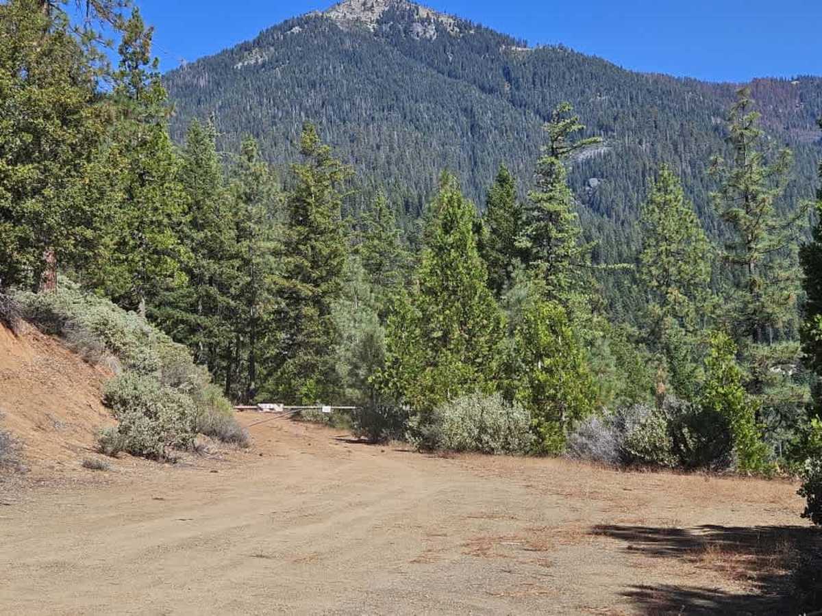
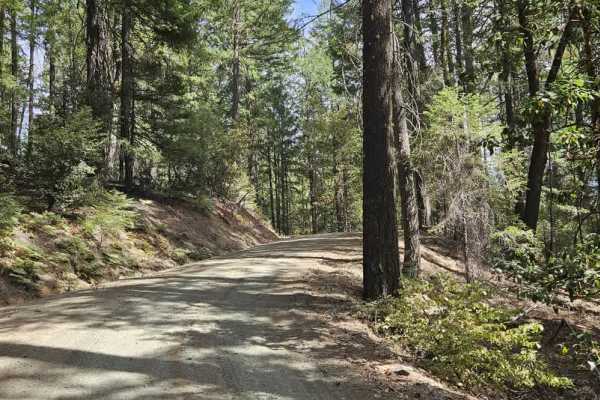
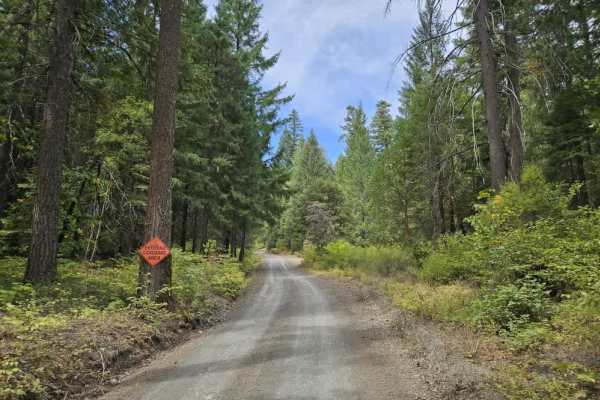
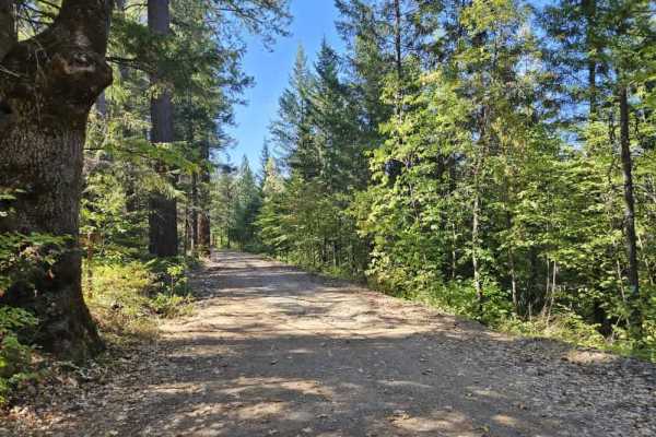
This long trail leads to the Stoney Ridge Trailhead, offering beautiful views and a challenging drive through steep, mountainous terrain. The first five miles are relatively well maintained, with a smooth gravel surface and a generally wide route that allows two vehicles to pass in most areas. The trail climbs steadily with numerous twists, switchbacks, hairpin turns, and steep drop-offs, so use caution, especially on the descent. Several wider pull-offs also line the route, though some uphill sections can be quite corrugated. Near the end, the trail takes a steep left turn and becomes rougher, rockier, and less maintained. Several side trails branch off the main route, although many are closed, particularly those following the ridgeline. Private property borders part of the route, and a stream crosses the upper section where you can source water, though you should filter or otherwise treat it before drinking. The trail is popular with hikers, so expect traffic traveling to and from the trailhead. Parking at the trailhead can accommodate approximately 8–10 vehicles, but there are no facilities. There is also no cell phone reception at the trailhead or along the trail. ATVs, UTVs, Side-by-Sides, and Dirt Bikes must always have a valid California ATV Operating Permit sticker.

 Offroad