Trail Overview
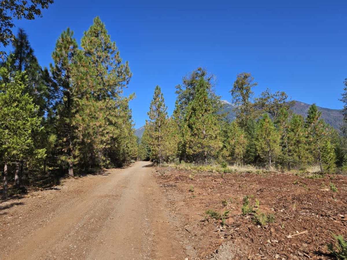
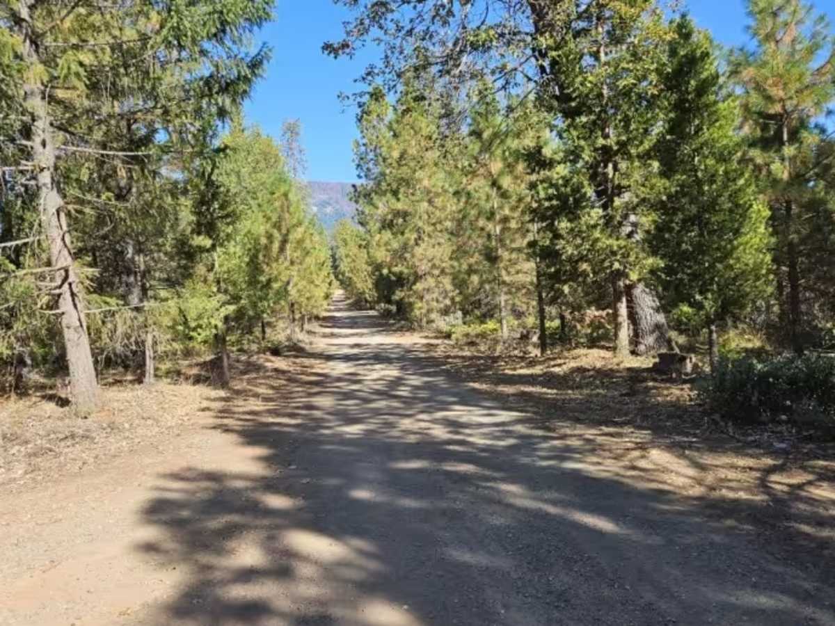
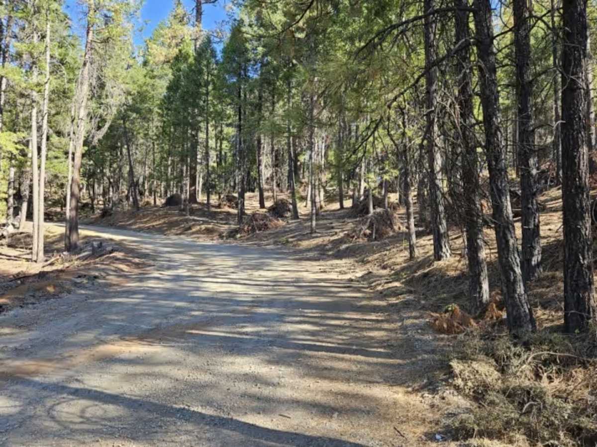
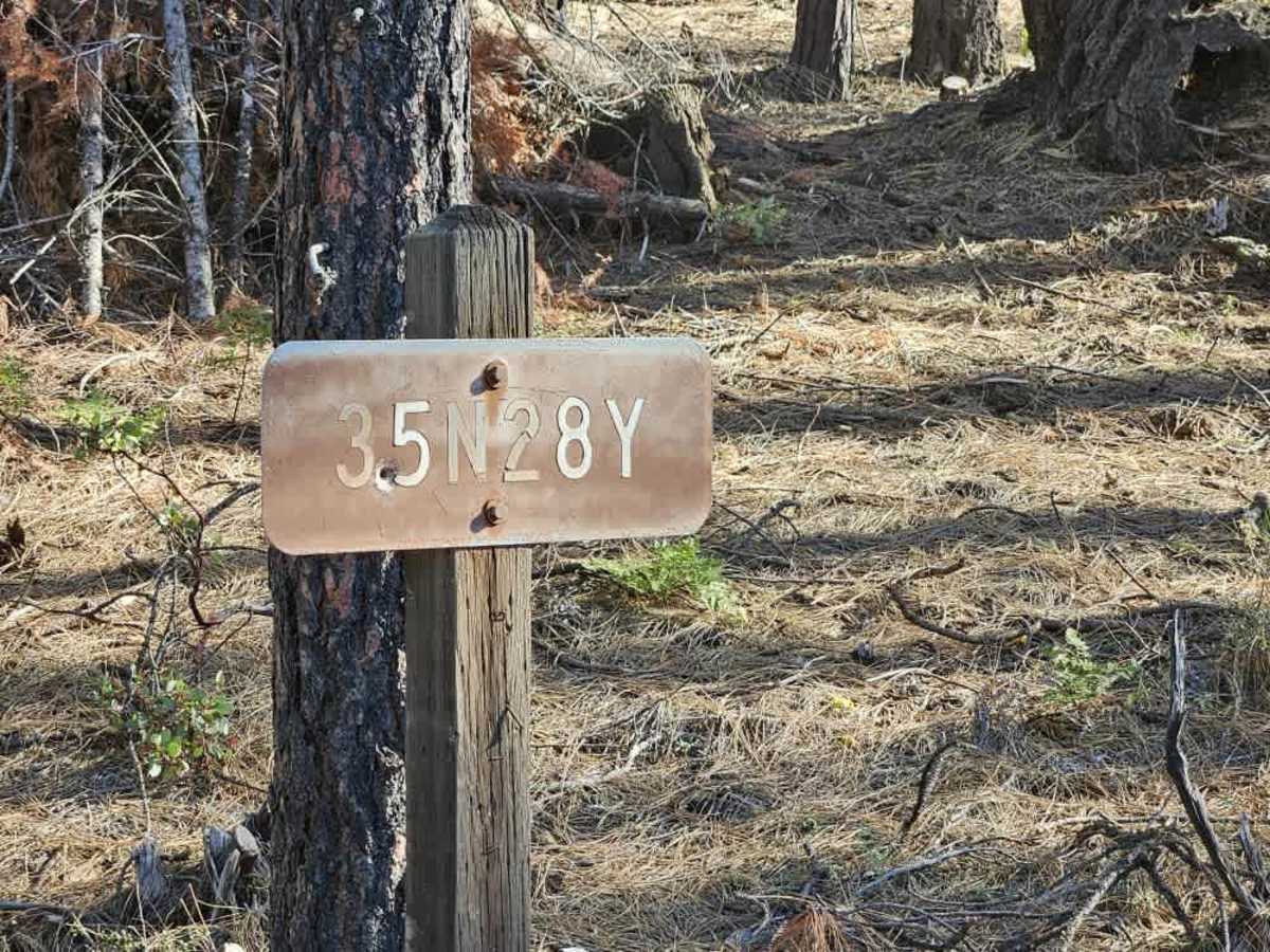
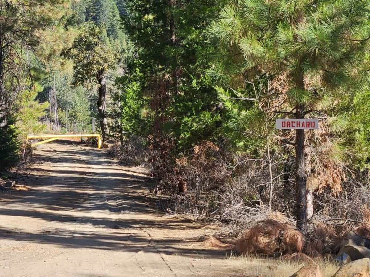
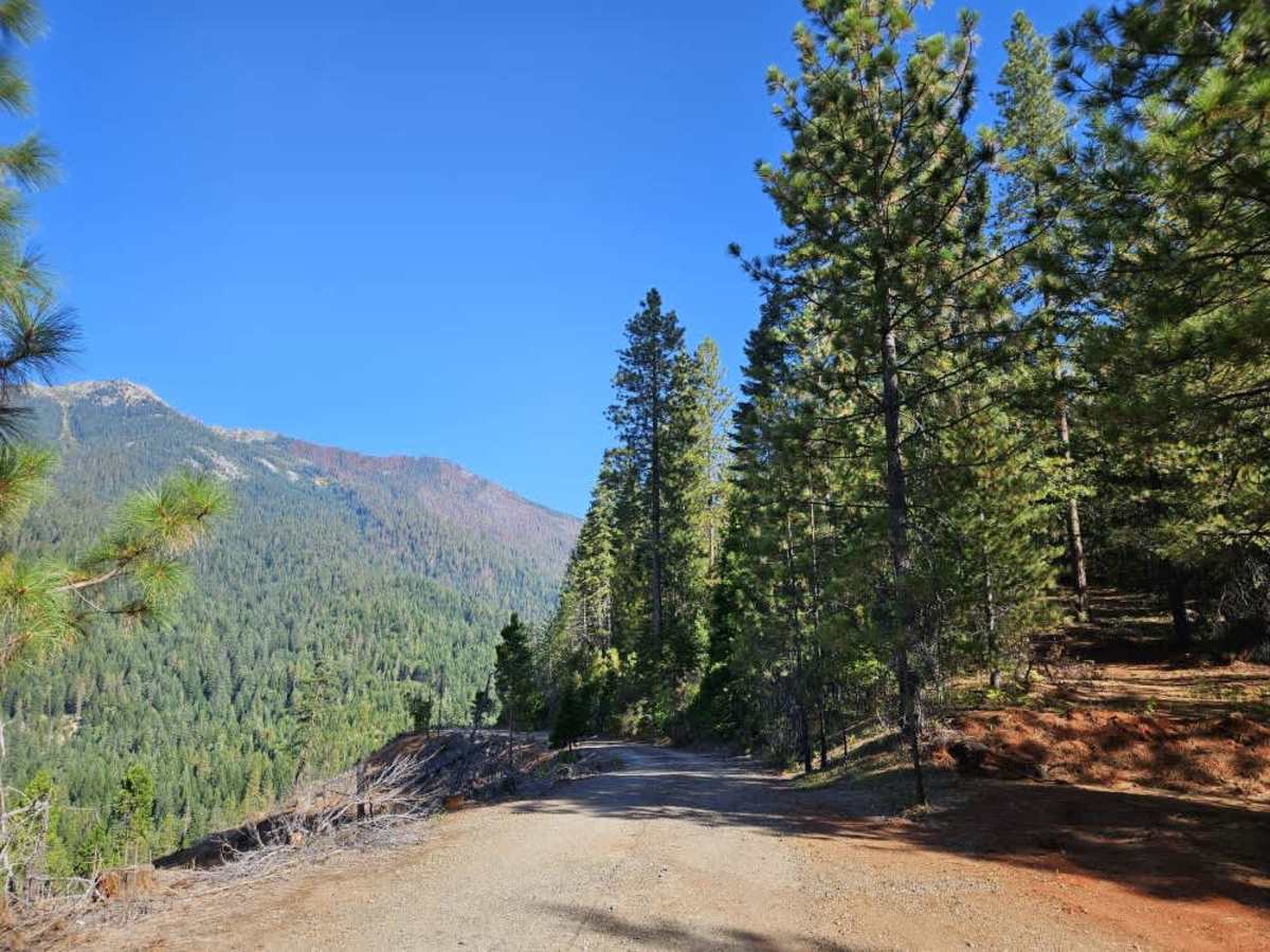
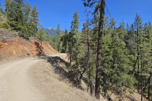
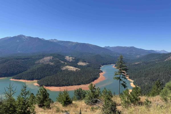
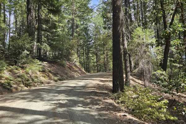
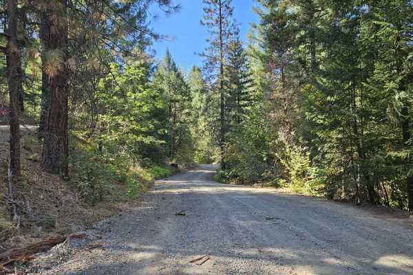
This trail leads from Highway 3 toward the Granite Peak Trailhead, beginning as a mostly well-maintained gravel road that gradually winds uphill. The first section is fairly wide due to logging activity, then narrows after a large clearing while remaining wide enough for full-size vehicles. The route includes bumpy sections, steep ascents and descents, and eventually climbs along a ridge with steep drop-offs before continuing to higher elevations. Several side roads branch off along the way, including private roads, closed routes, logging roads, and other trails to explore. The trail eventually reaches a large, stony parking area just before the trailhead. The parking area is uneven and not particularly level. Signs along the route prohibit cutting Christmas trees. Private land also borders portions of the trail. There is no AT&T cell phone reception along the route. For additional camping options, several established campsites are located farther down Highway 3 toward the lake. Farther along is Minerville Campground, located near the water. It has several campsites, two ablution blocks, trash facilities, and water, although no power was observed. ATVs, UTVs, Side-by-Sides, and Dirt Bikes must always have a valid California ATV Operating Permit sticker.
Difficulty
The trail is generally moderate, with bumpy terrain, steep climbs, and descents along the route.

 Offroad