Trail Overview
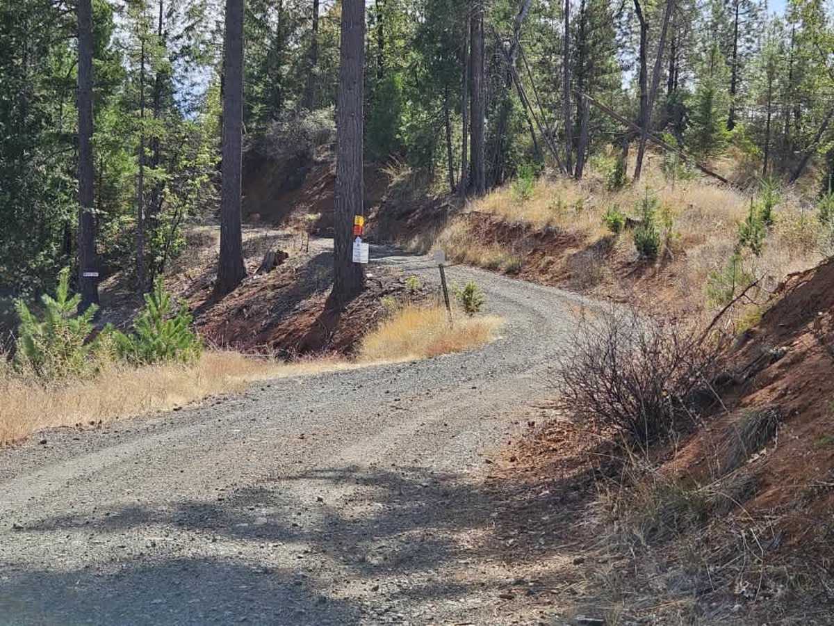
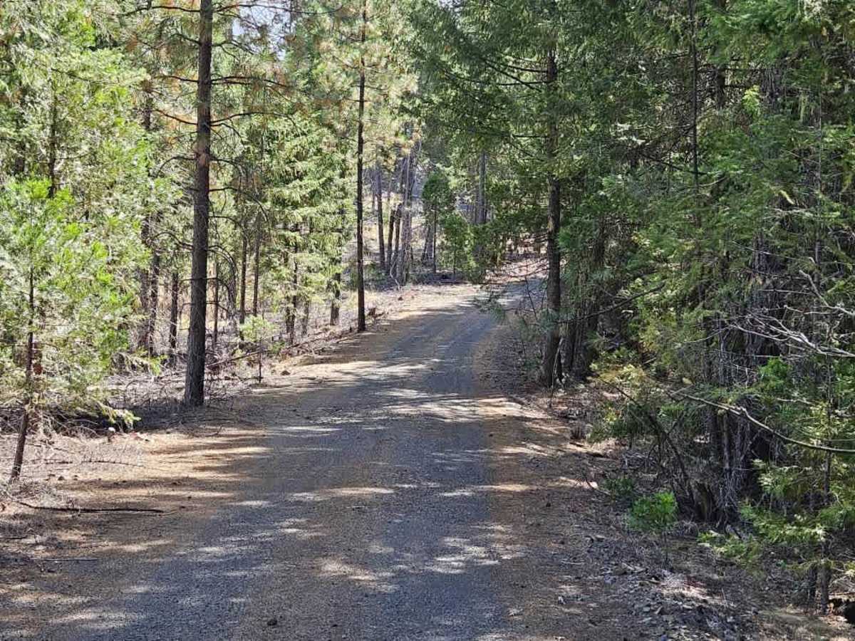
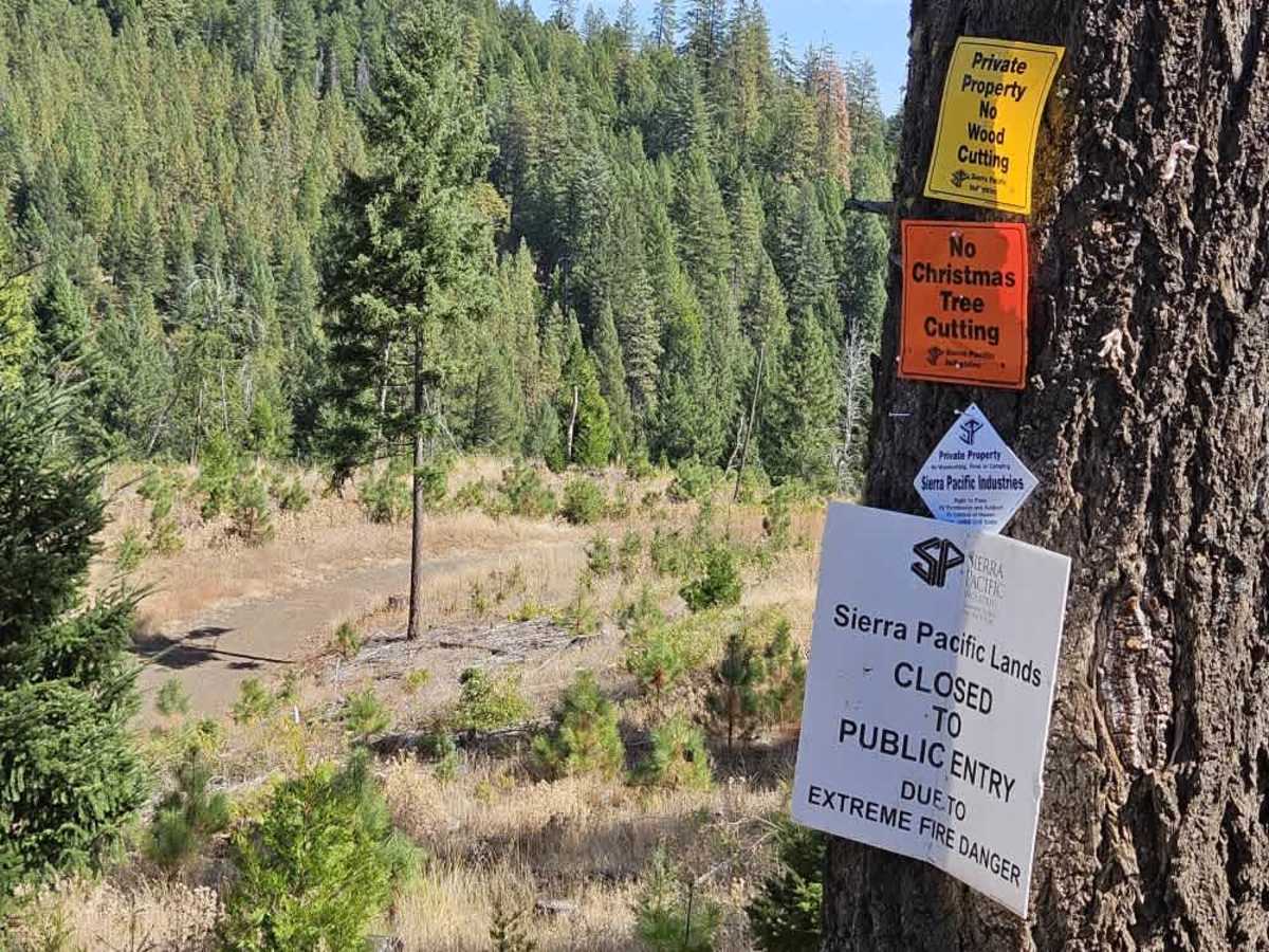
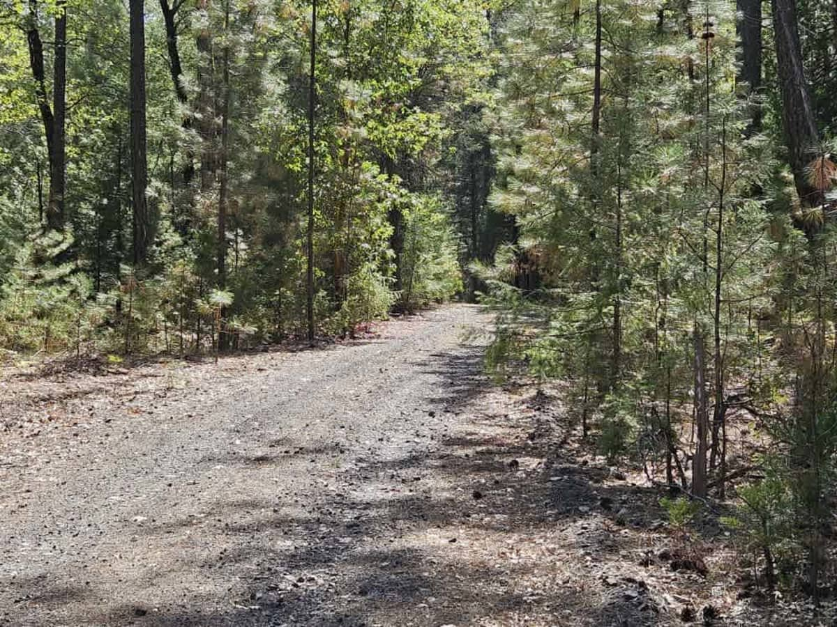
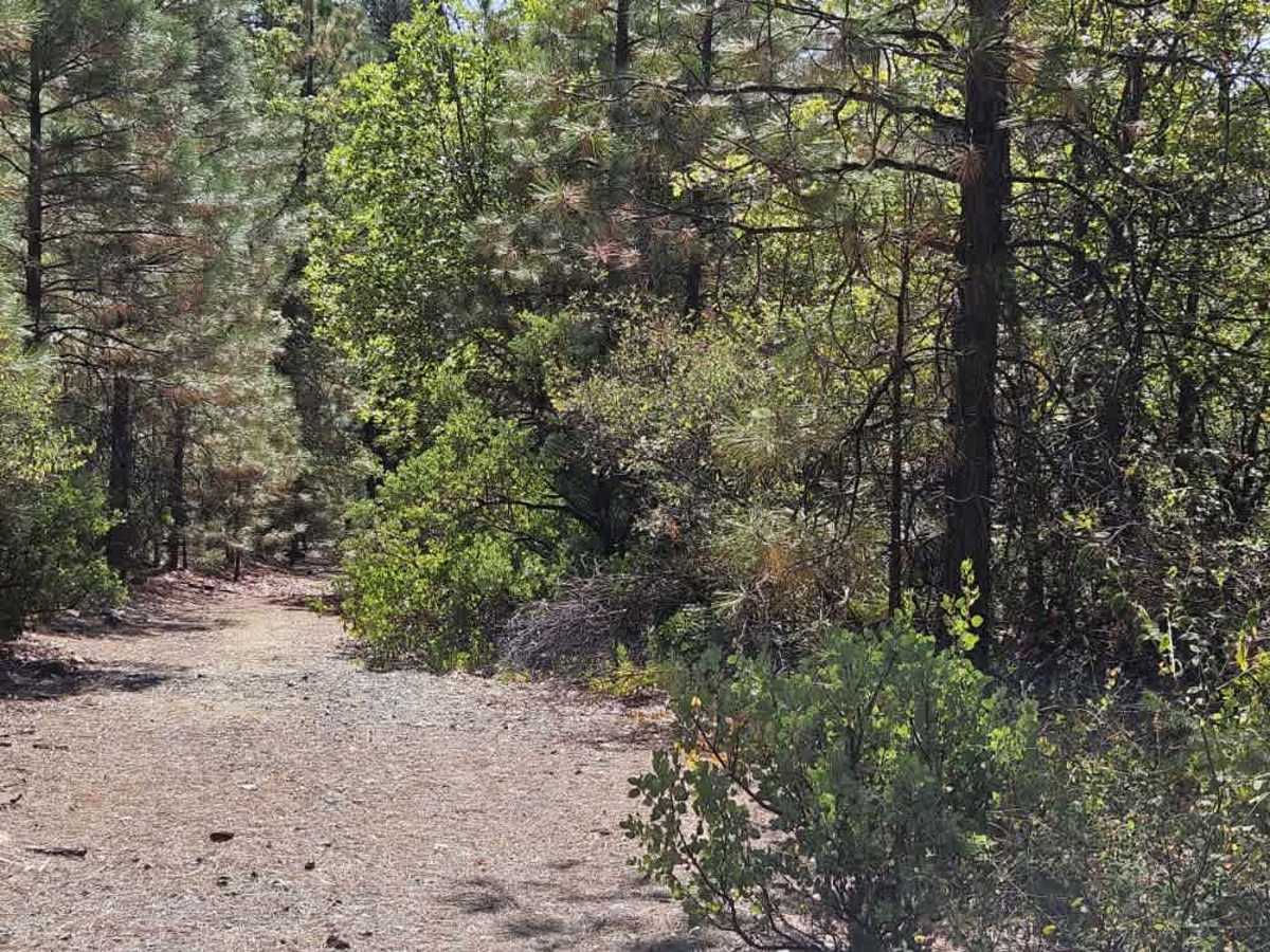
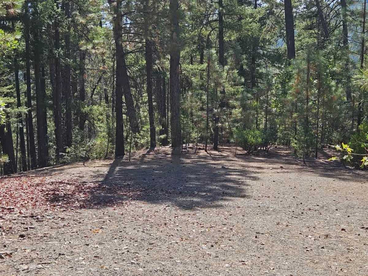
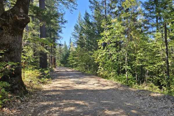
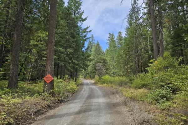
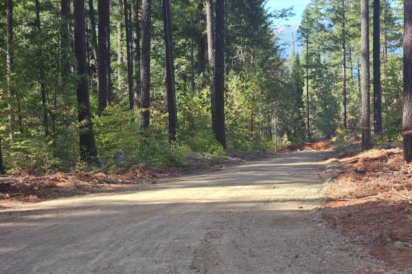
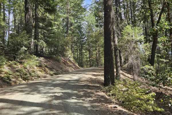
This trail is accessed from paved Road 105, which connects to Highway 3. The main paved section passes several residences, so expect local traffic, logging activity, and the possibility of logging trucks. At the trail entrance, a sign indicates a private road, but this refers to the road branching off alongside FS 34N22. That route has a closed gate and belongs to a logging company, while this trail follows a USFS easement right-of-way. The route begins with a rocky, bumpy surface as it winds through the forest and past active logging areas. Farther along, the trail reaches a curve and levels out, with signs that people have been camping in ground tents. Beyond this area, the route becomes increasingly steep and rough as it descends the mountain. The trail is heavily overgrown in places, with rocks, stumps, and fallen trees in the road, but it remains passable. It also becomes quite narrow, with vegetation close to the trail and a significant risk of pinstriping. Near the lower section, the trail reaches a relatively flat, wide-open area that could provide a suitable spot for dispersed camping. One smaller trail branches off and can initially appear to be the main route, although the route numbers indicate otherwise. Few facilities are available along the trail, and cell phone reception is limited. ATVs, UTVs, Side-by-Sides, and Dirt Bikes must always have a valid California ATV Operating Permit sticker.

 Offroad