Buckeye Creek - FS 34N59Y

Total Miles2.1
Technical Rating
1Easy
Best TimeSpring, Summer, Fall
Trail TypeFull-Width Road
Accessible By
Open Trail Map

Trail Overview

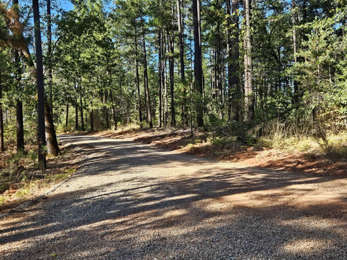
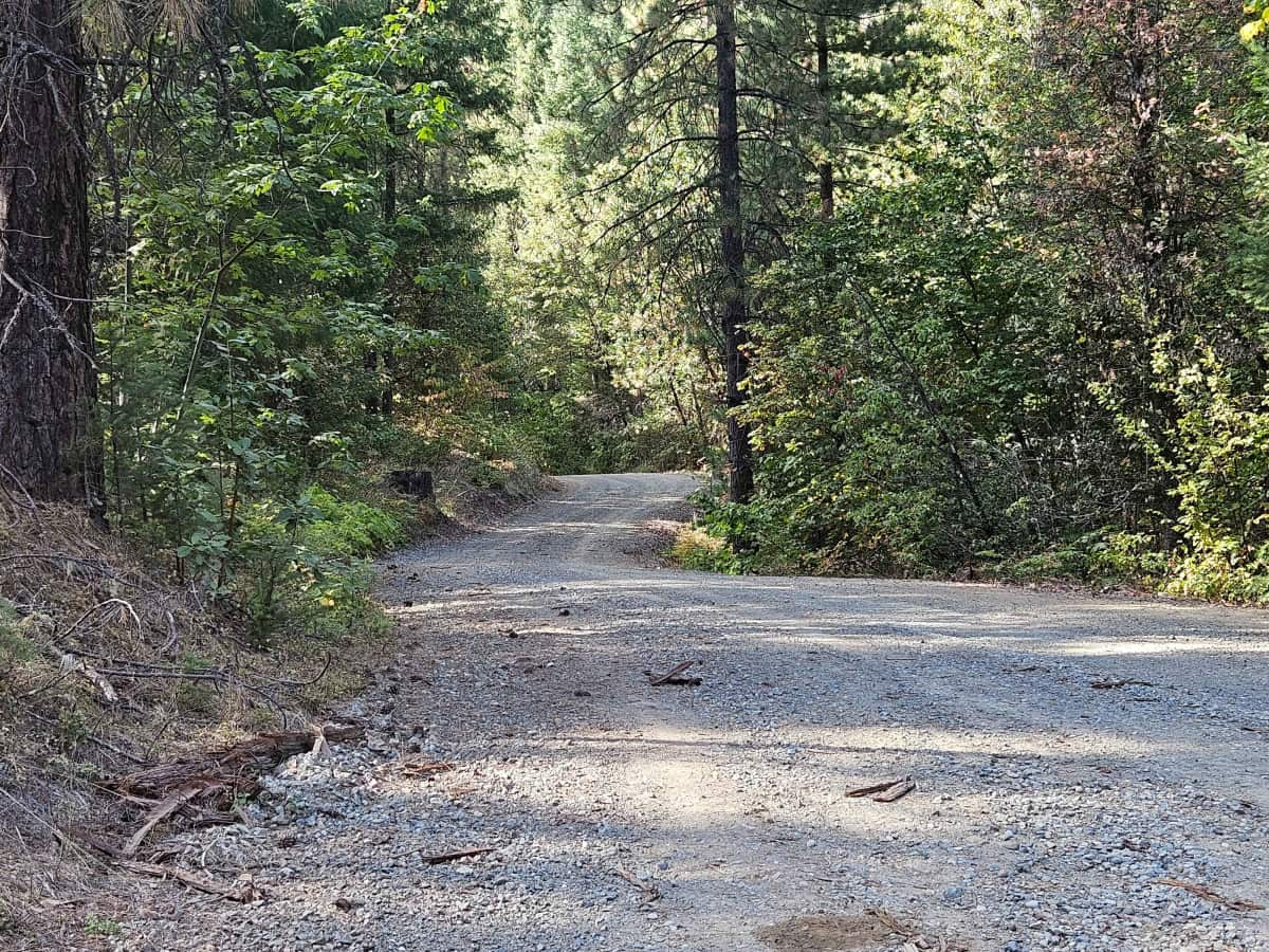
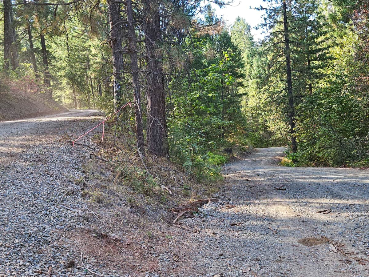
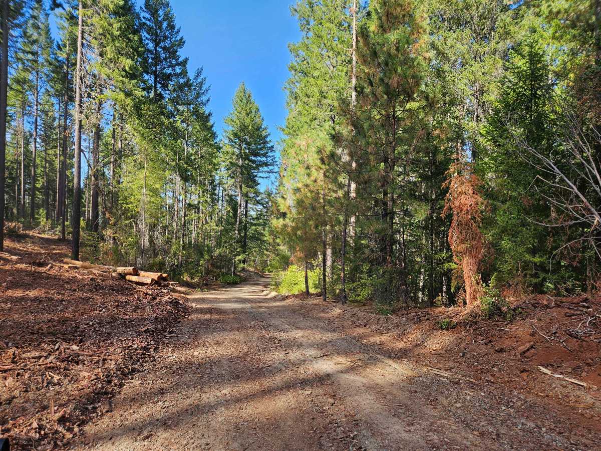
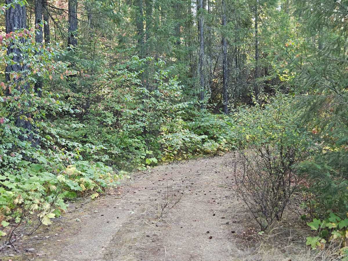
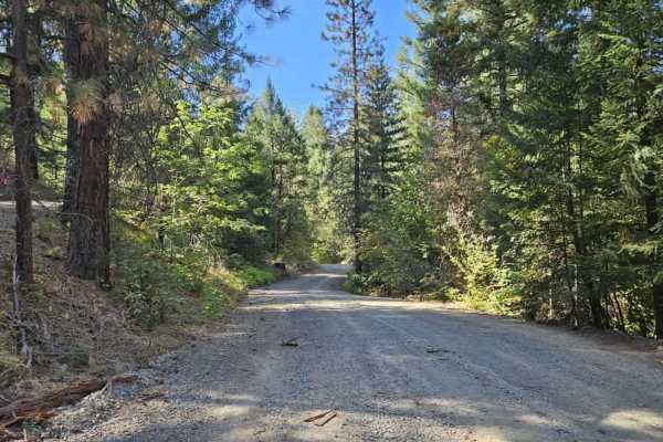
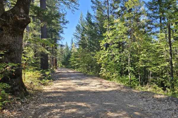
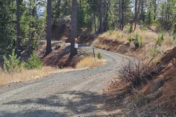
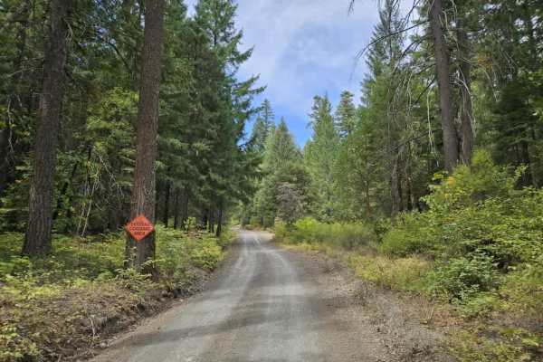
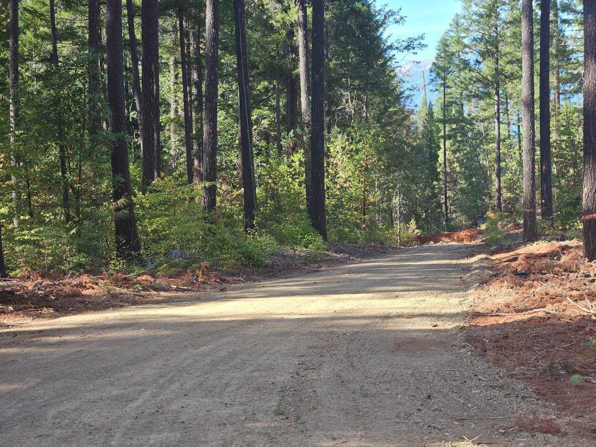
This trail begins on well-maintained gravel and winds down through the forest before climbing again. The route has several steep ascents and descents, numerous switchbacks, and some loose sections along steep drop-offs, so use extra caution. Logging activity is ongoing in the area, and you may encounter logging trucks along the route. Watch for traffic and use care around the tighter corners. After passing an area where logging has taken place, the trail becomes narrower and eventually reaches a couple of clearings. Beyond these areas, the route becomes increasingly rough and overgrown. The road narrows significantly, with heavy vegetation along the edges and a high potential for pinstriping. Where this mapped route ends, the trail eventually becomes impassable to anything larger than an ATV or Side-by-Side. Some sections may also risk vehicle damage due to the narrow, overgrown conditions. No facilities are available, and cell phone reception is limited along the route. ATVs, UTVs, Side-by-Sides, and Dirt Bikes must always have a valid California ATV Operating Permit sticker. This route is subject to Seasonal Designation from 05/01-10/31. Please check local regulations and current conditions before traveling.

Photos of Buckeye Creek - FS 34N59Y

Difficulty

The trail starts manageable but eventually dead-ends as it narrows and becomes increasingly overgrown.

Technical Rating

1

Buckeye Creek - FS 34N59Y Trail can be accessed by the following ride types:

  • Single Track
  • 50 Inch
  • 60 Inch
  • High Clearance
  • Full Width

Buckeye Creek - FS 34N59Y Map

The onX Offroad Difference

onX Offroad combines trail photos, descriptions, difficulty ratings, width restrictions, seasonality, and more in a user-friendly interface. Available on all devices, with offline access and full compatibility with CarPlay and Android Auto. Discover what you're missing today!

Open Trail Map