FS 33N47

Total Miles1
Technical Rating
1Easy
Best TimeSpring, Summer, Fall
Trail TypeFull-Width Road
Accessible By
Open Trail Map

Trail Overview

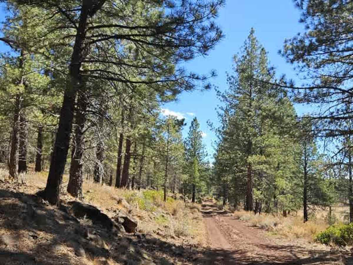
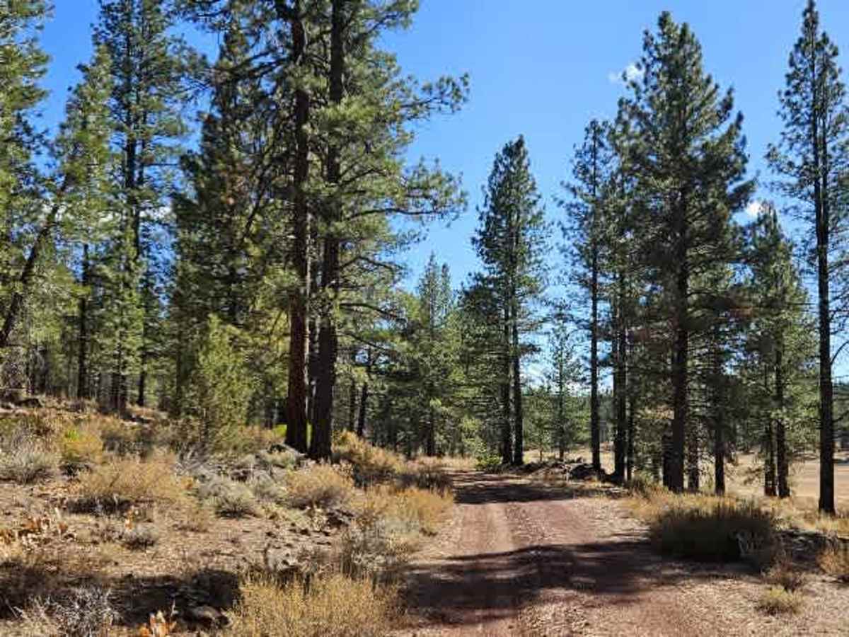
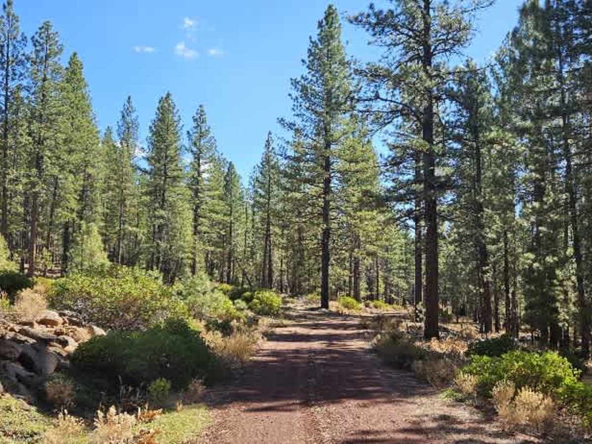
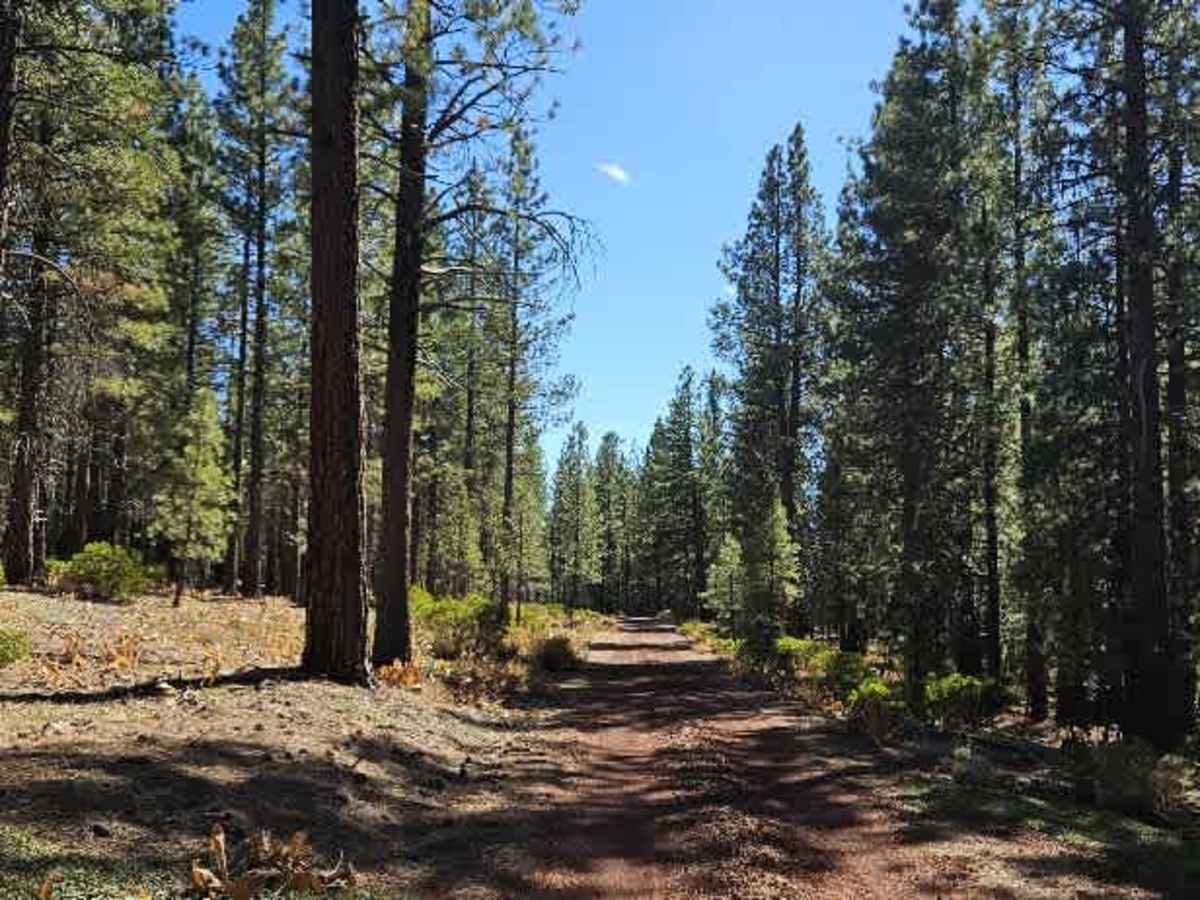
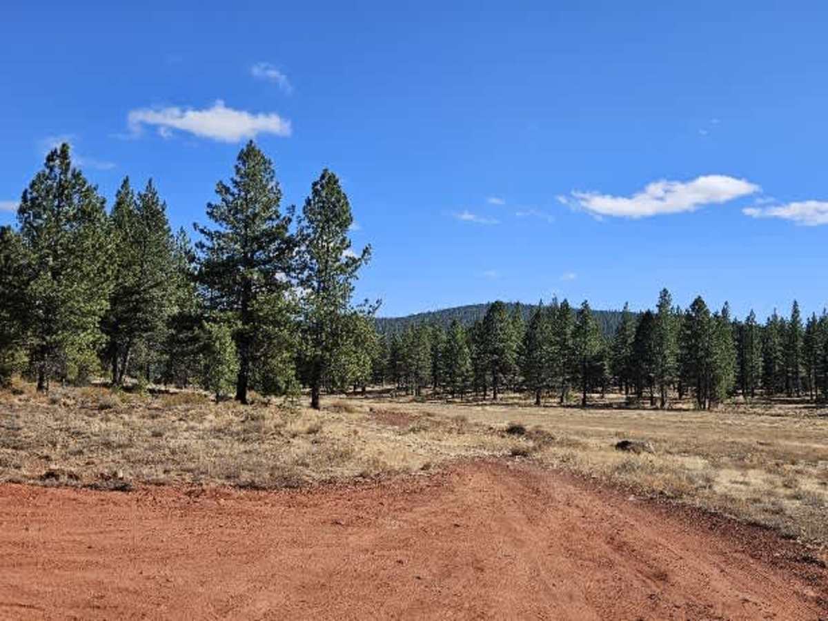
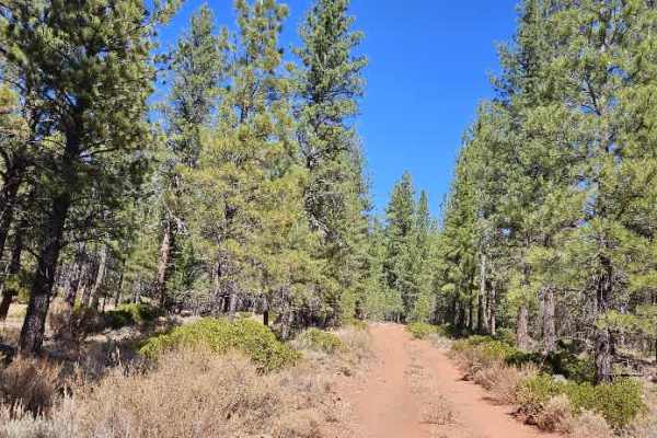
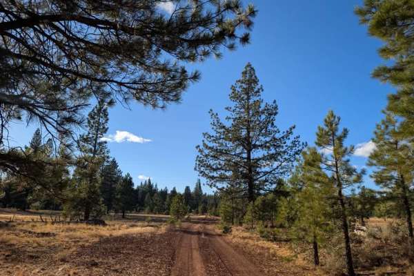
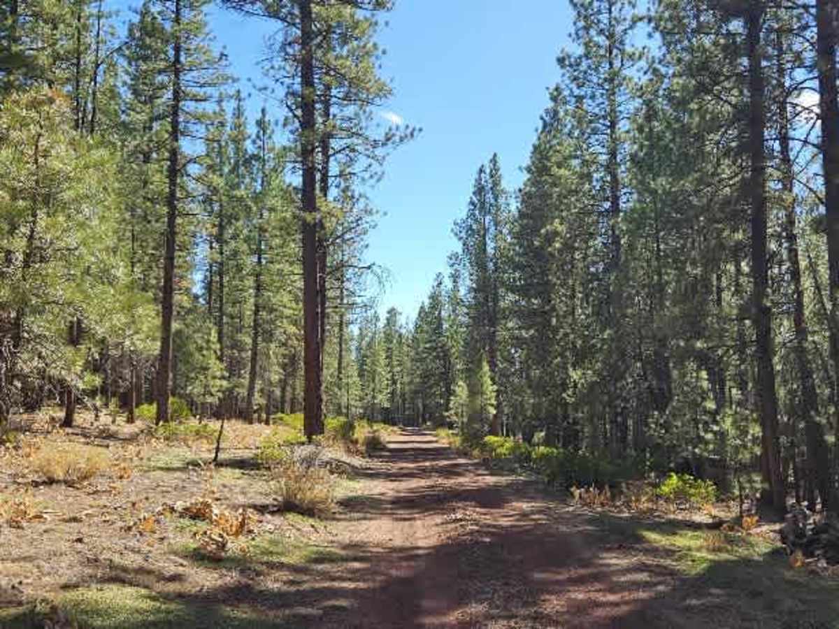
This well-maintained red gravel road winds through the forest before dipping down toward the dry Pine Creek bed. The route is generally easy to drive, with a smooth surface and gentle elevation changes. Near the beginning, a designated parking area serves visitors using the walking trails, as motorized vehicles are not permitted beyond that section. The road continues through the forest until it splits toward Harvey Mountain. Beyond this junction, the surface deteriorates significantly, becoming extremely rocky with large rocks scattered across the route. It is best to turn around at the split, as the continuation leads toward the creek and ends at a fence that vehicles can’t cross. Although the creek is currently dry, water levels may vary seasonally. ATVs, UTVs, Side-by-Sides, and Dirt Bikes must always have a valid California ATV Operating Permit sticker.

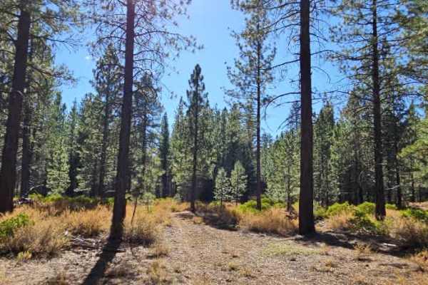
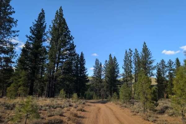
Photos of FS 33N47

Difficulty

The road offers gentle elevation changes and a smooth surface for most of the route, but large rocks make the continuation beyond the split challenging.

Technical Rating

1

FS 33N47 Trail can be accessed by the following ride types:

  • Single Track
  • 50 Inch
  • 60 Inch
  • High Clearance
  • Full Width

FS 33N47 Map

The onX Offroad Difference

onX Offroad combines trail photos, descriptions, difficulty ratings, width restrictions, seasonality, and more in a user-friendly interface. Available on all devices, with offline access and full compatibility with CarPlay and Android Auto. Discover what you're missing today!

Open Trail Map