FS 32N95Y

Total Miles0.6
Technical Rating
1Easy
Best TimeSpring, Summer, Fall
Trail TypeFull-Width Road
Accessible By
Open Trail Map

Trail Overview

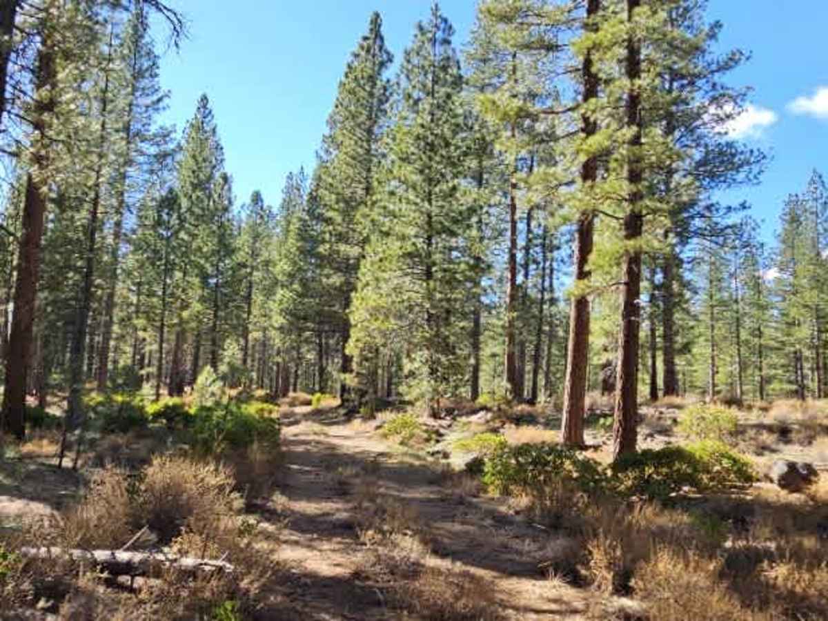
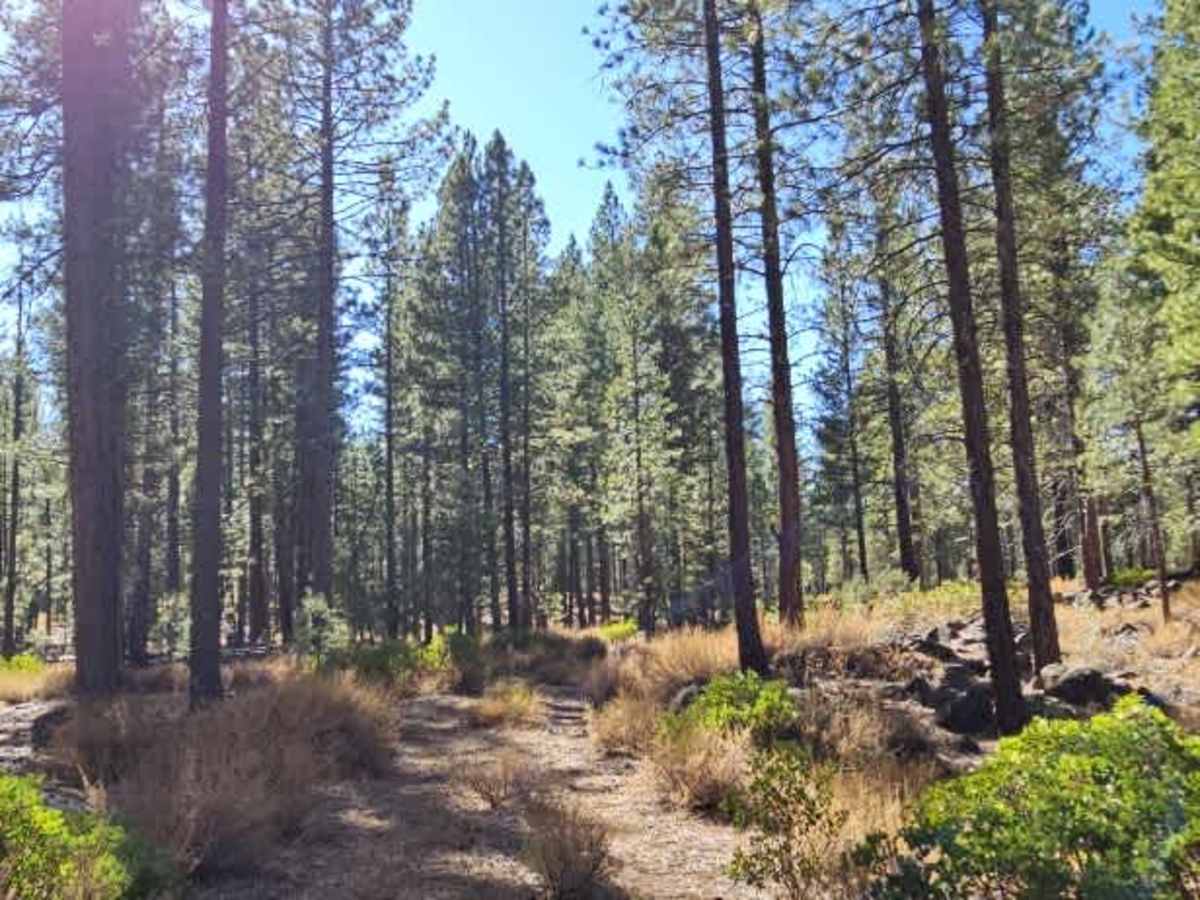
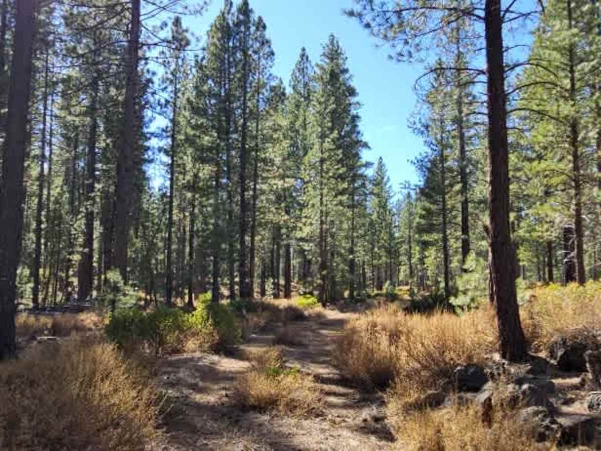
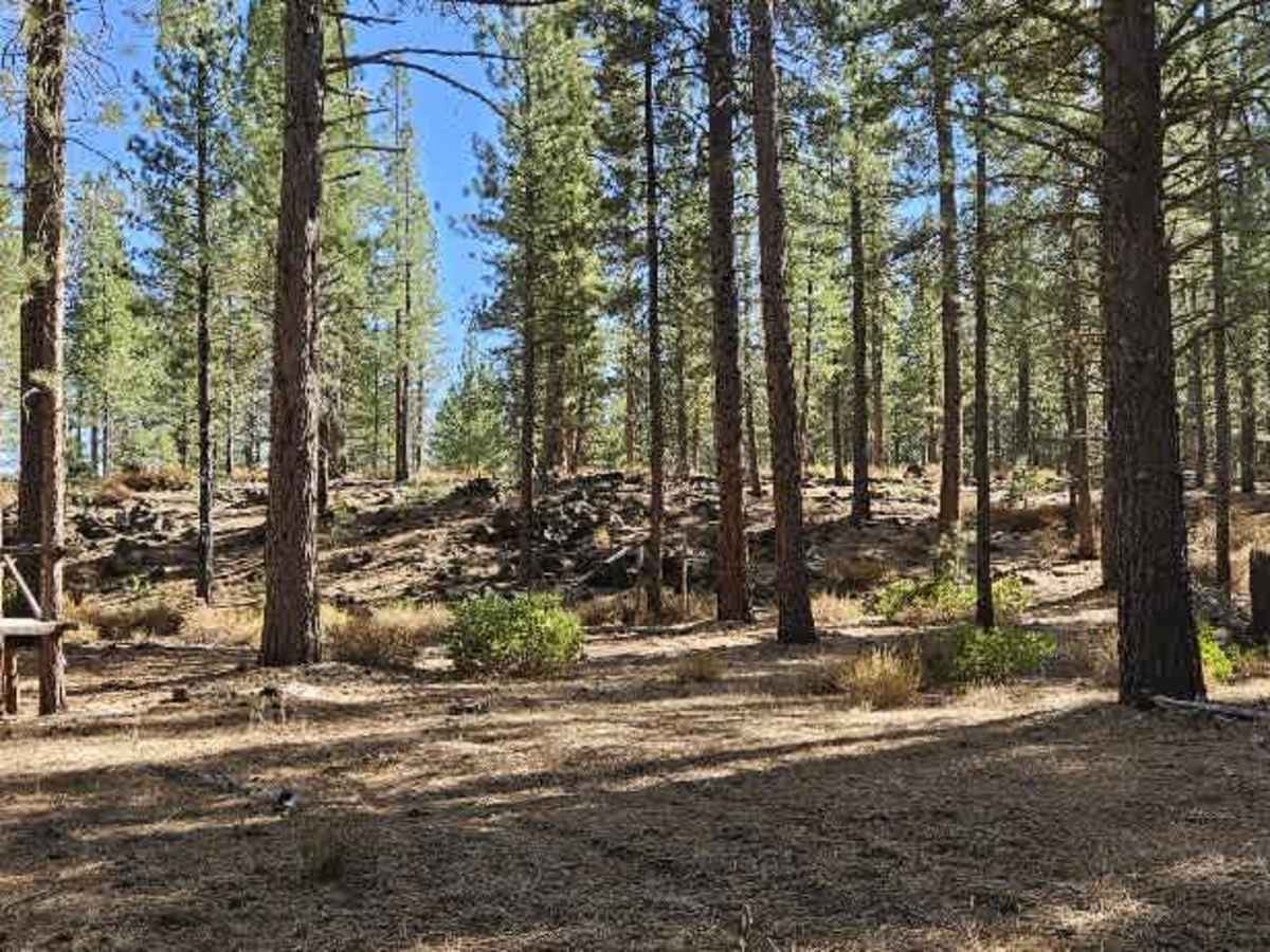
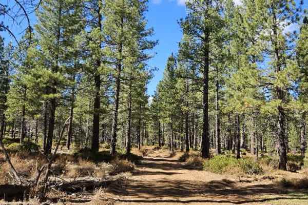
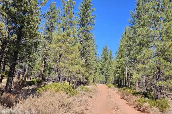
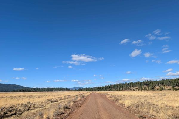
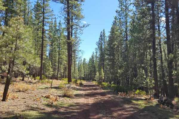
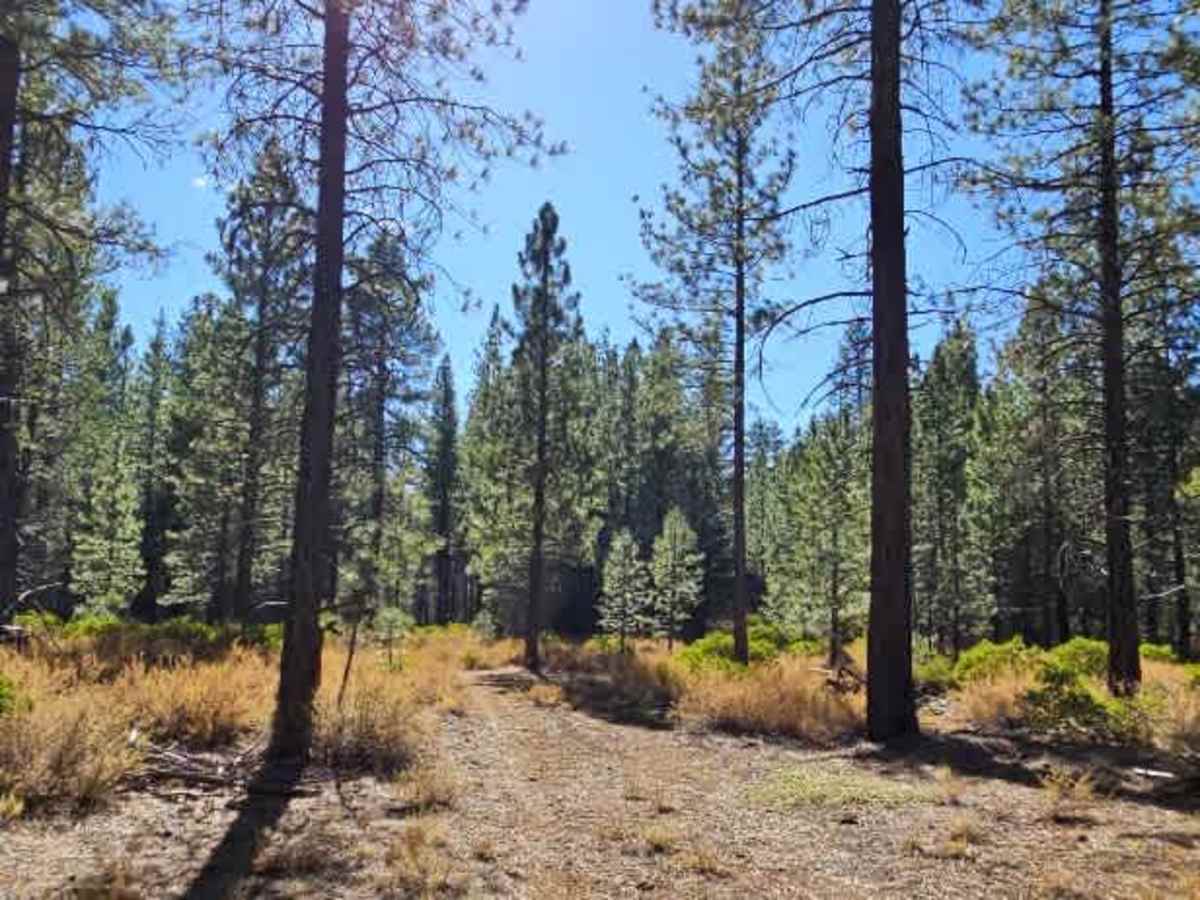
This dusty trail winds through a beautiful forest on a surface of thick red silt and sand, with plenty of rocks hidden underneath. The road is generally easy to navigate, although the loose material creates significant dust in dry conditions and may become muddy when wet. A few man-made drainage or irrigation-style sections along the route appear designed to slow traffic, so keep an eye out as you travel. Volcanic rock formations line the roadside, while the interior forest remains largely unlogged. Logging is visible around the outskirts, where the route approaches Sierra Pacific Timber. Be aware that this private property has been closed to public access due to fire danger, with no-trespassing signs posted as of 2025 and 2026. Several potential dispersed camping spots line the open road, but expect passing vehicles to kick up considerable dust if you camp nearby. ATVs, UTVs, Side-by-Sides, and Dirt Bikes must always have a valid California ATV Operating Permit sticker.

Photos of FS 32N95Y

Difficulty

The trail is generally easy to navigate, but loose red silt, hidden rocks, and dusty conditions require attention.

Technical Rating

1

FS 32N95Y Trail can be accessed by the following ride types:

  • Single Track
  • 50 Inch
  • 60 Inch
  • High Clearance
  • Full Width

FS 32N95Y Map

The onX Offroad Difference

onX Offroad combines trail photos, descriptions, difficulty ratings, width restrictions, seasonality, and more in a user-friendly interface. Available on all devices, with offline access and full compatibility with CarPlay and Android Auto. Discover what you're missing today!

Open Trail Map