Trail Overview
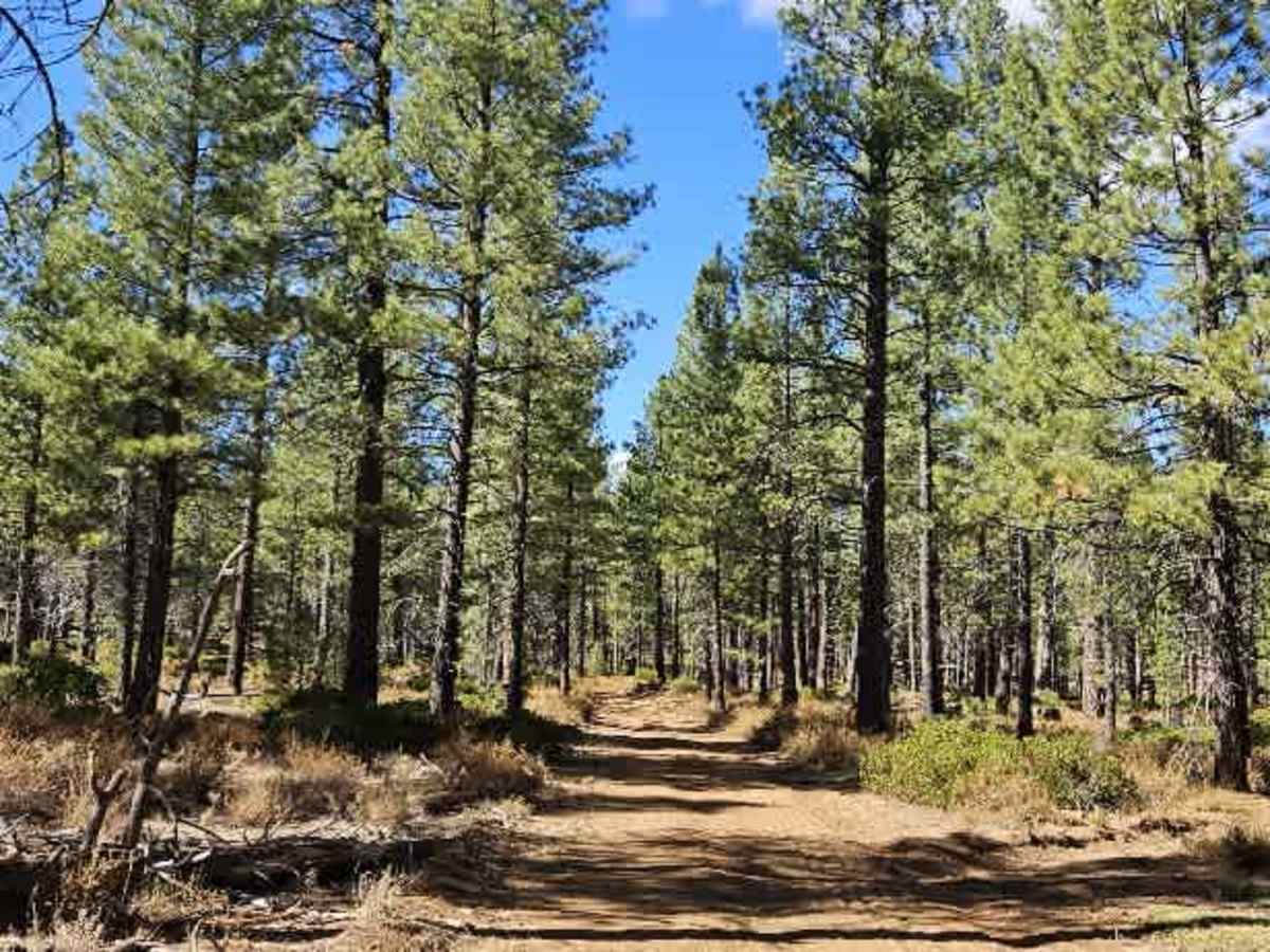
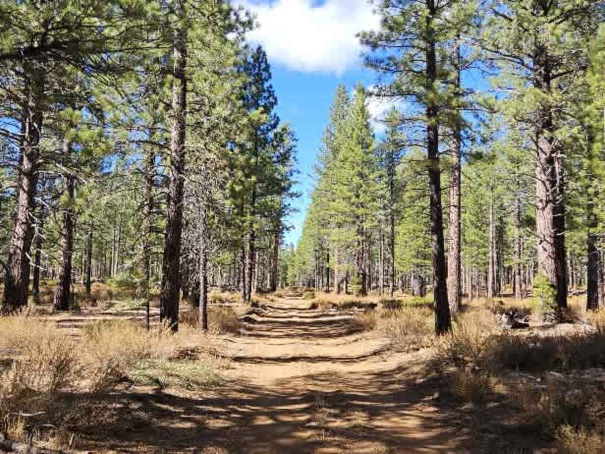
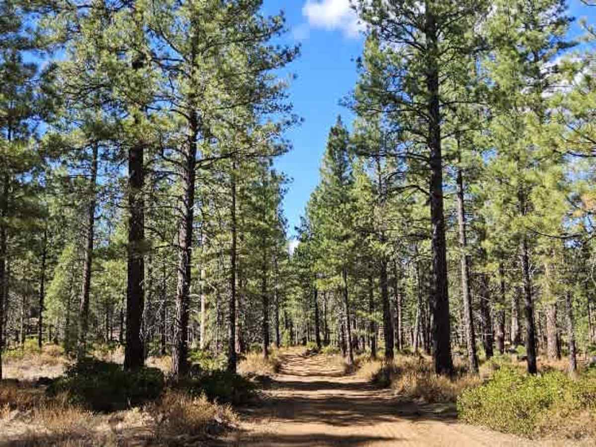
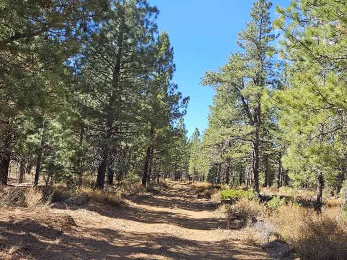
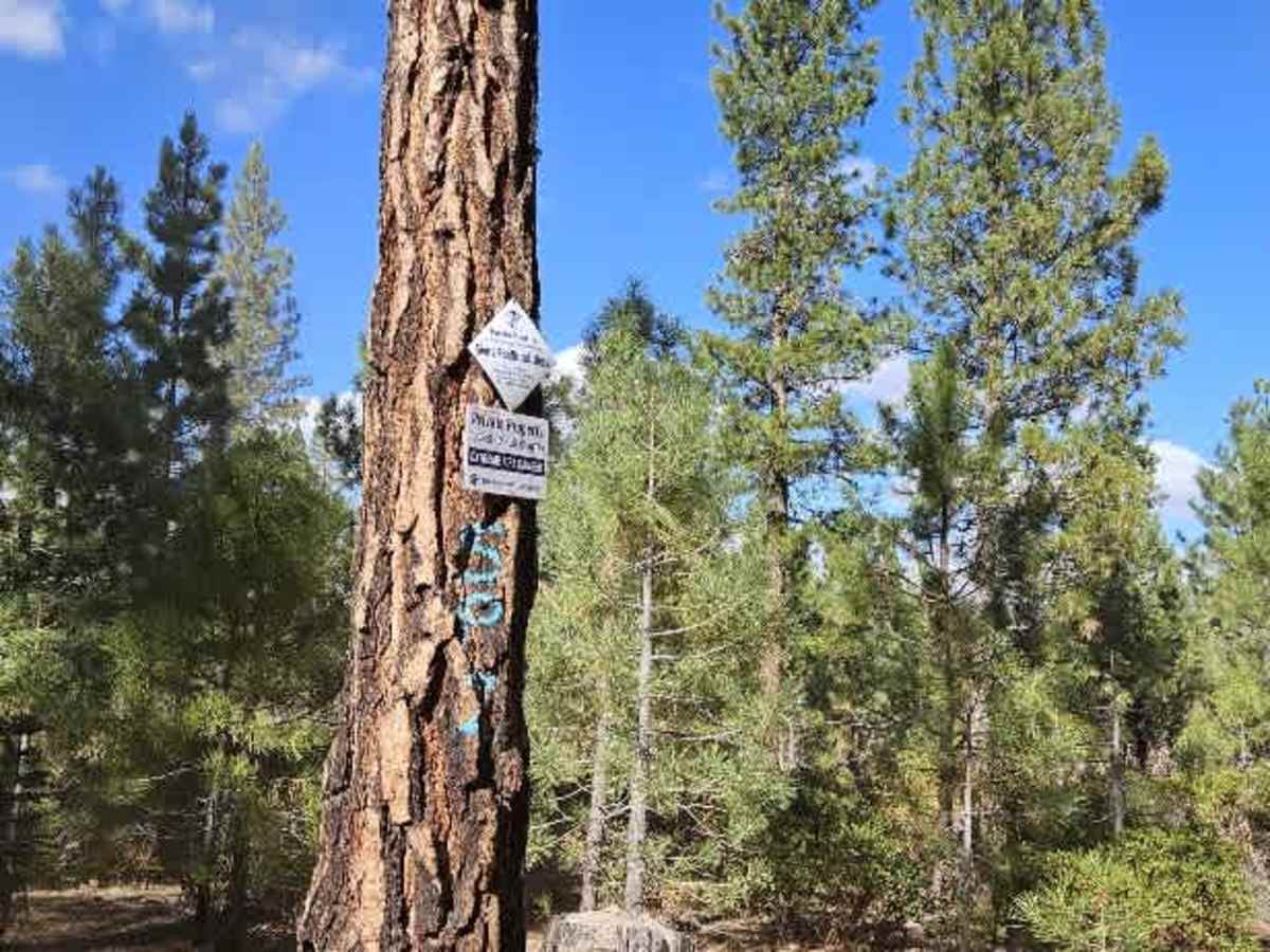
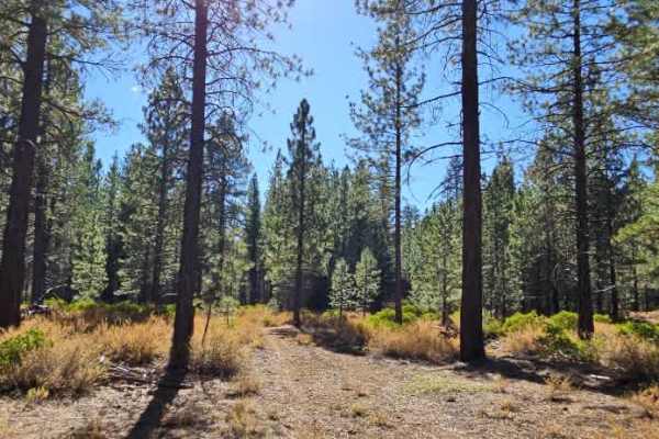
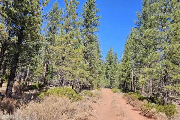
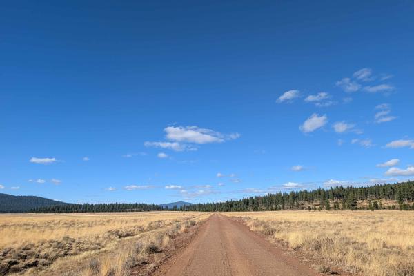
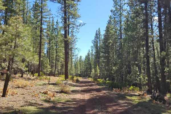
This short trail offers a different experience from the route running alongside it, passing through a beautiful forest with volcanic rock formations and a thick covering of pine needles that creates a relatively smooth driving surface. There is some debris and several logs scattered across the road, so keep an eye out for obstacles as you travel. The route splits along the way, but only the left-hand branch remains open; the right-hand branch is closed. The open trail ends at a large area suitable for dispersed camping, with several small wooden structures built among the trees; these low platforms resemble simple tree stands and may be used by hunters or campers. ATVs, UTVs, Side-by-Sides, and Dirt Bikes must always have a valid California ATV Operating Permit sticker.
Difficulty
The trail is generally easy to drive, with pine needles providing a smooth surface, though scattered logs and debris require attention.