West Antelope Valley - FS 32N03Y

Total Miles4.8
Technical Rating
1Easy
Best TimeSpring, Fall, Summer
Trail TypeFull-Width Road
Accessible By
Open Trail Map

Trail Overview

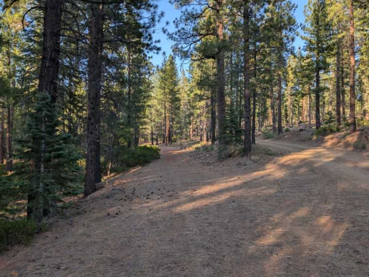
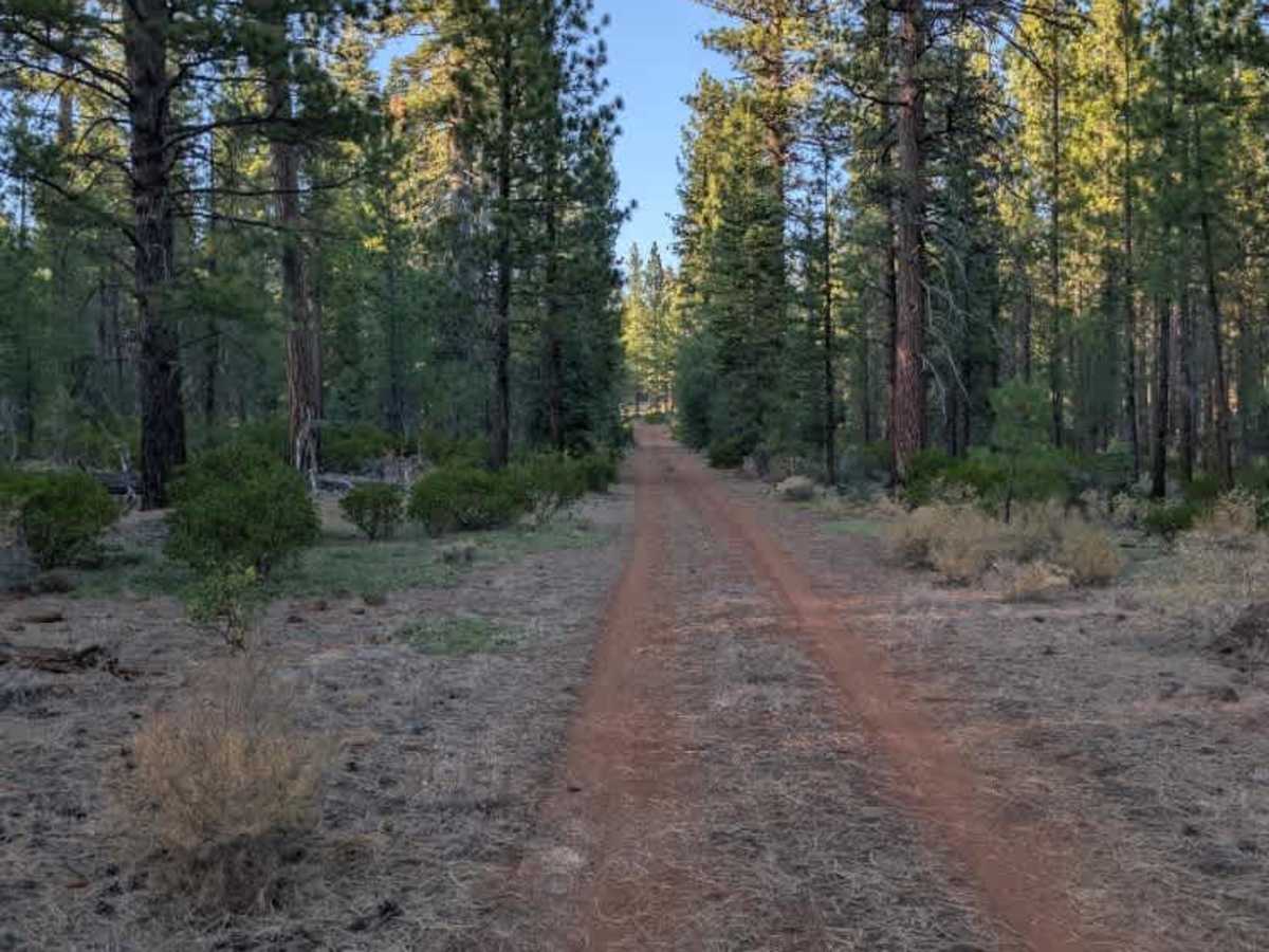
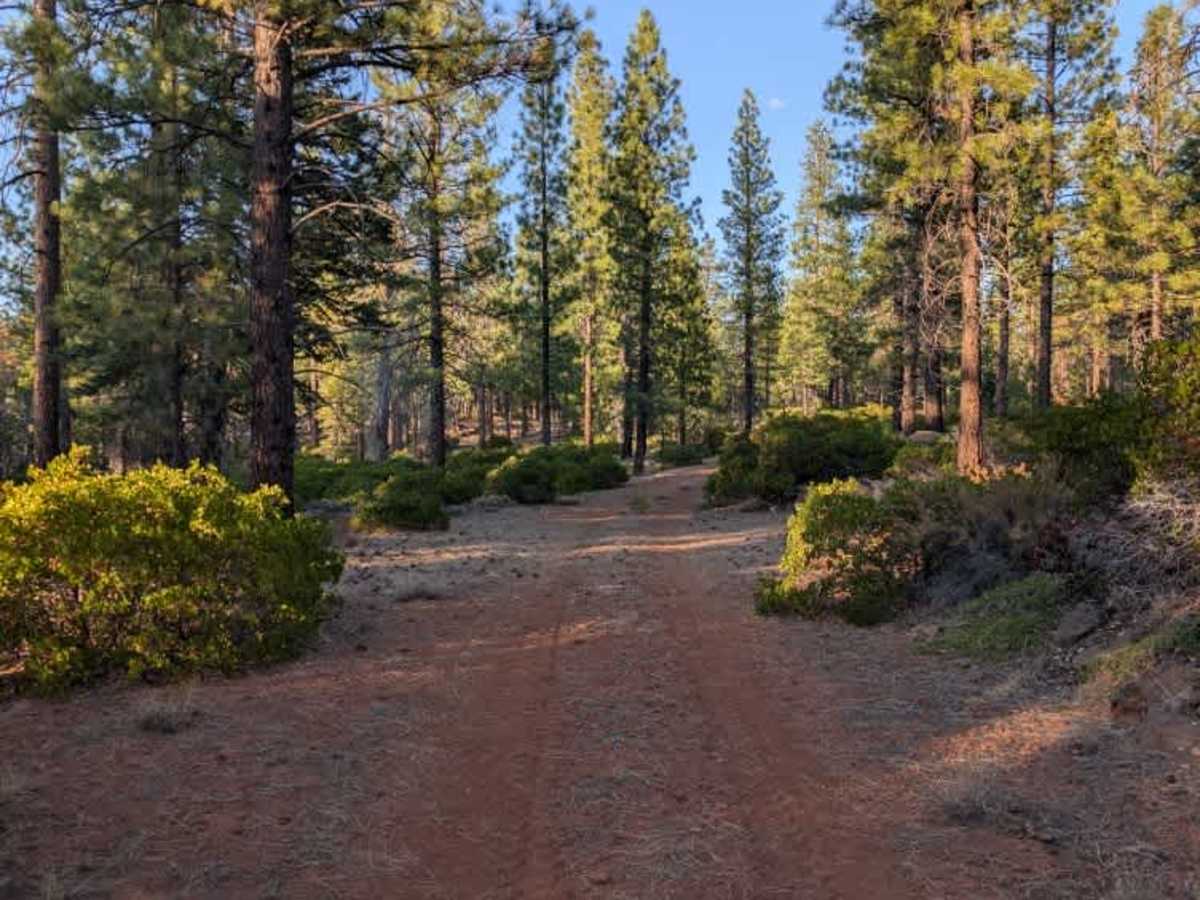
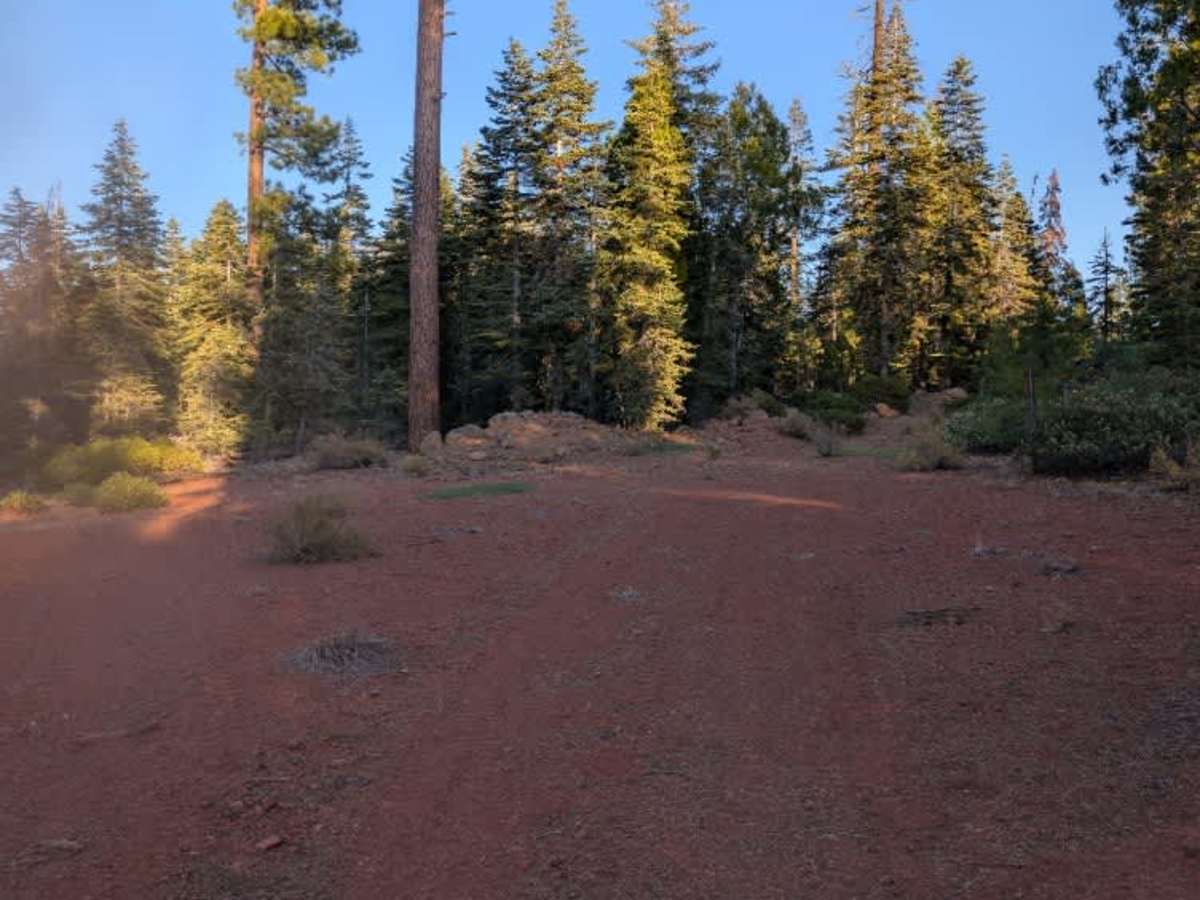
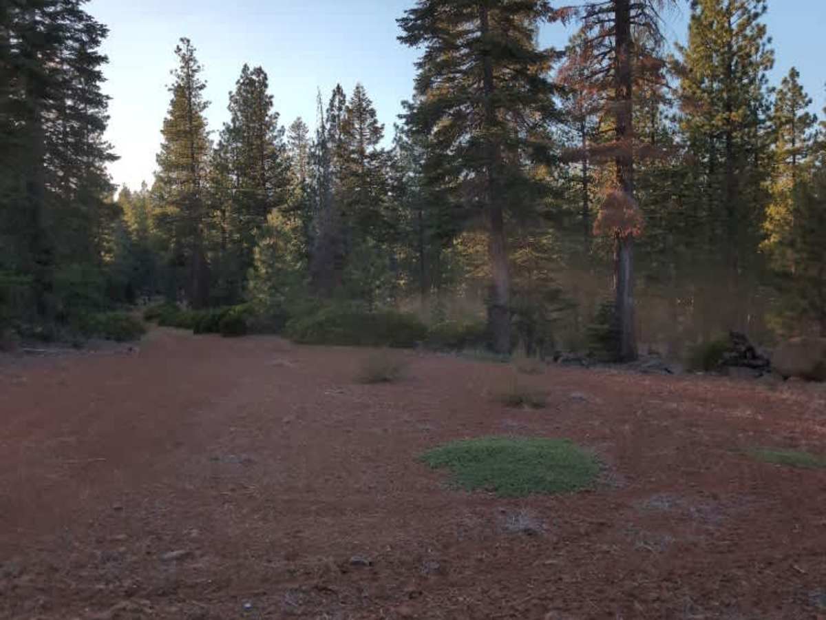
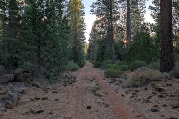
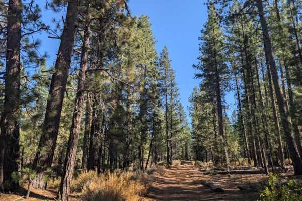
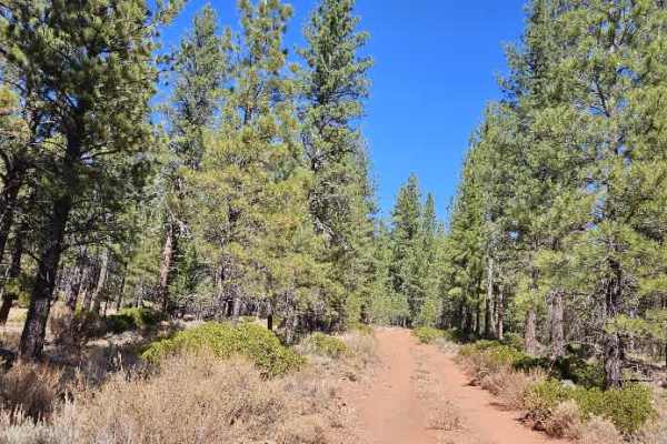
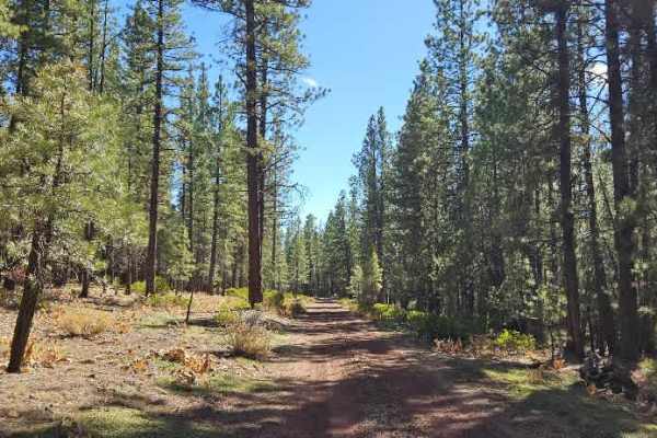
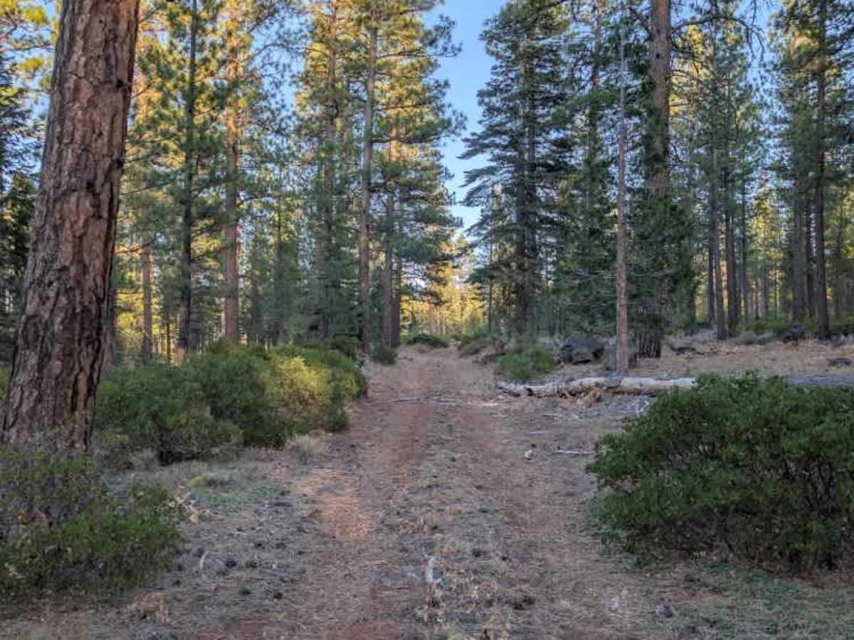
This relatively long trail starts out easy to travel but gets more interesting as you go, with several fallen trees blocking the route. A large tree blocks the road near the beginning, and thankfully a bypass has been created by driving through the surrounding brush. Further along, additional fallen trees require you to maneuver around them, so take your time and assess each obstacle before proceeding. Some of these sections are quite tight, particularly for wider vehicles, and the brush may make passing through more difficult. Larger vehicles can still navigate the route, but they should expect limited space and potential pinstriping from surrounding vegetation. The trail eventually ends at a turnaround area that appears suitable for camping. ATVs, UTVs, Side-by-Sides, and Dirt Bikes must always have a valid California ATV Operating Permit sticker.

Photos of West Antelope Valley - FS 32N03Y

Difficulty

Although the trail starts easily, repeated tree obstructions and narrow passages make the route more demanding farther along.

Technical Rating

1

West Antelope Valley - FS 32N03Y Trail can be accessed by the following ride types:

  • Single Track
  • 50 Inch
  • 60 Inch
  • High Clearance
  • Full Width

West Antelope Valley - FS 32N03Y Map

The onX Offroad Difference

onX Offroad combines trail photos, descriptions, difficulty ratings, width restrictions, seasonality, and more in a user-friendly interface. Available on all devices, with offline access and full compatibility with CarPlay and Android Auto. Discover what you're missing today!

Open Trail Map