FS 33N26

Total Miles5
Technical Rating
1Easy
Best TimeSpring, Summer, Fall
Trail TypeFull-Width Road
Accessible By
Open Trail Map

Trail Overview

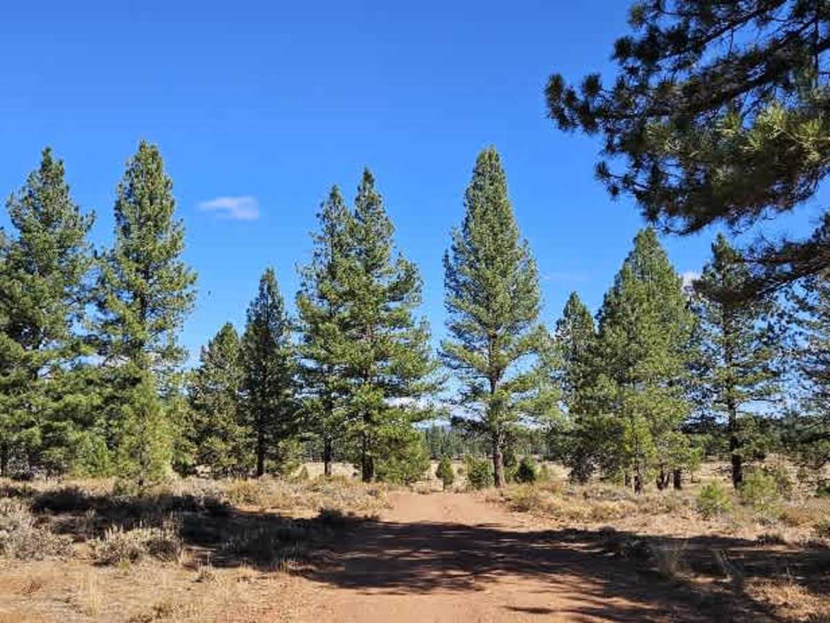
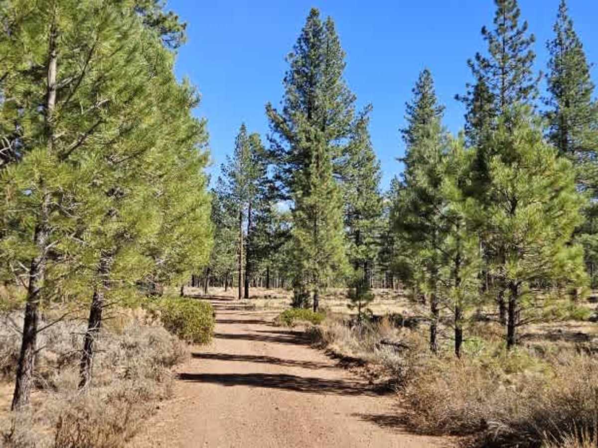
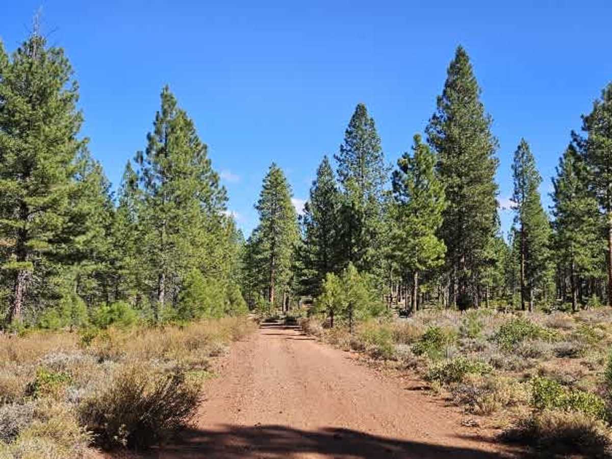
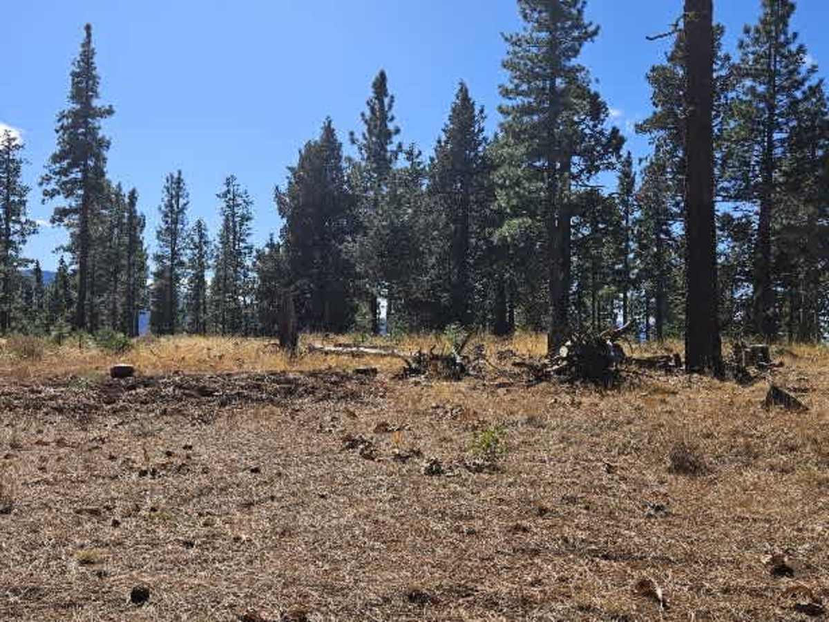
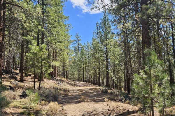
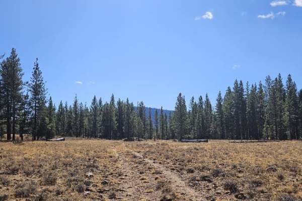
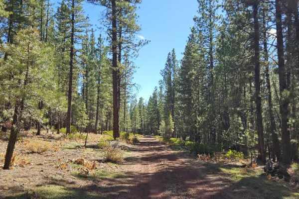
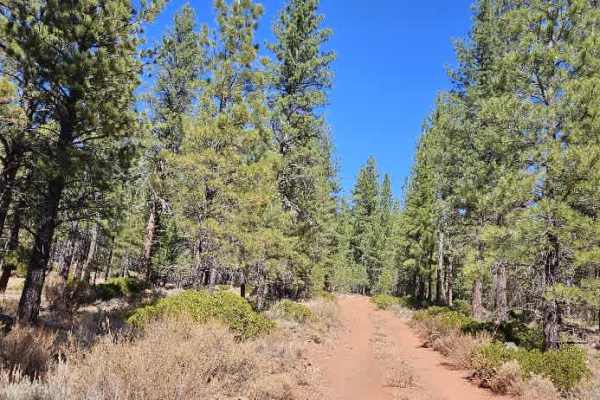
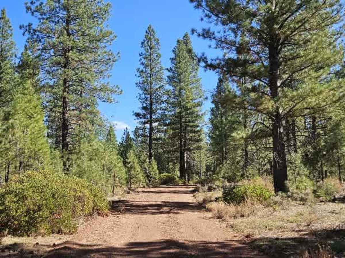
This well-maintained road is covered in bright red gravel and winds over the mountain before descending from the forest into an open valley. There are numerous side trails and several spots for dispersed camping along the way, making it a good route for those looking to spend more time exploring the area. The road is popular, so watch for oncoming traffic, especially around bends and narrower sections. As the landscape opens up toward the valley, the surrounding creeks and natural habitat provide opportunities to spot a variety of birdlife, including hawks and many other species. ATVs, UTVs, Side-by-Sides, and Dirt Bikes must always have a valid California ATV Operating Permit sticker.

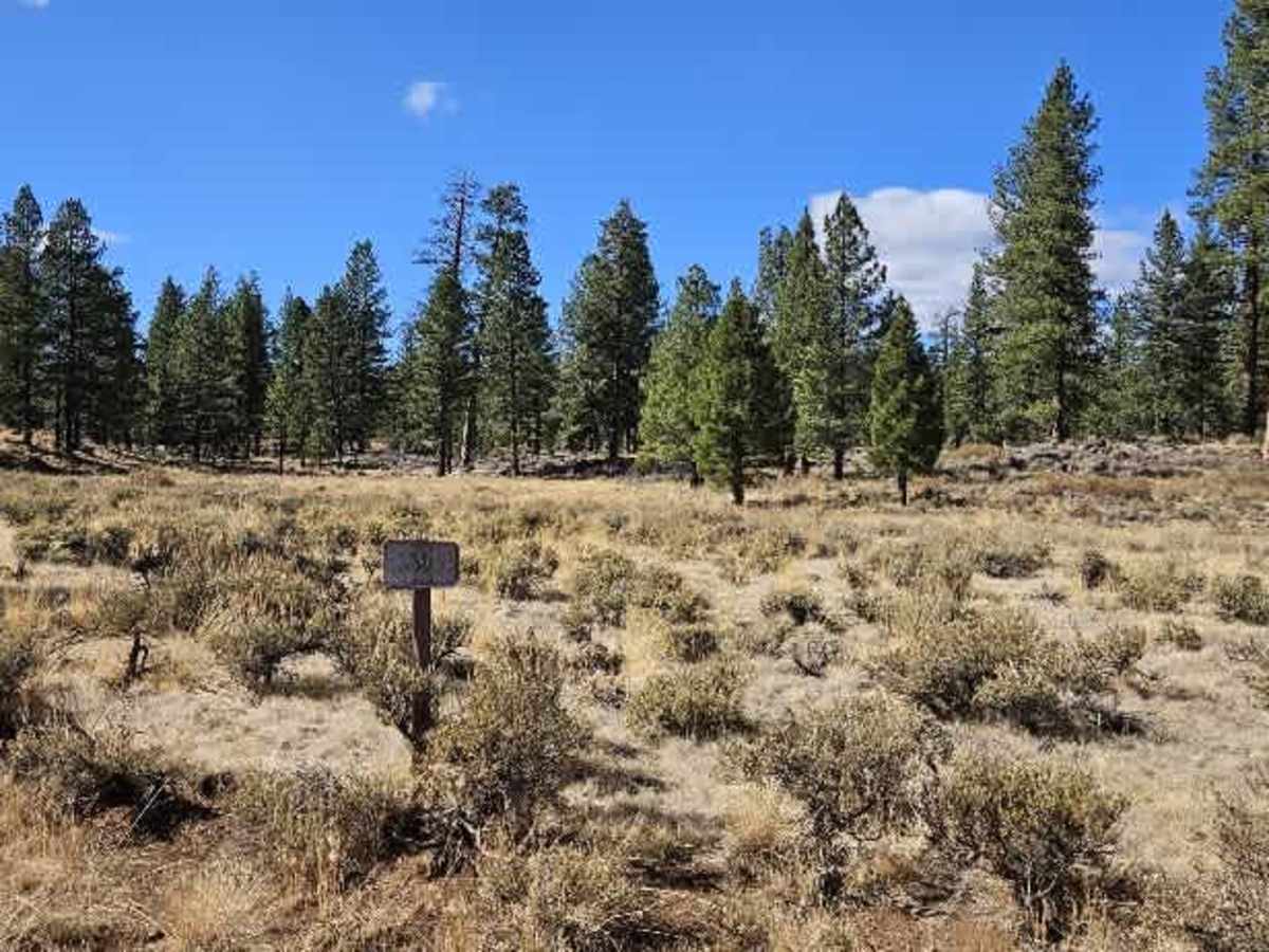
Photos of FS 33N26

Difficulty

The winding mountain road is generally easy to drive, with caution needed around curves and tighter sections.

Technical Rating

1

FS 33N26 Trail can be accessed by the following ride types:

  • High Clearance
  • Full Width

FS 33N26 Map

The onX Offroad Difference

onX Offroad combines trail photos, descriptions, difficulty ratings, width restrictions, seasonality, and more in a user-friendly interface. Available on all devices, with offline access and full compatibility with CarPlay and Android Auto. Discover what you're missing today!

Open Trail Map