Trail Overview
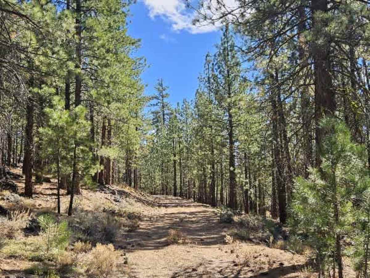
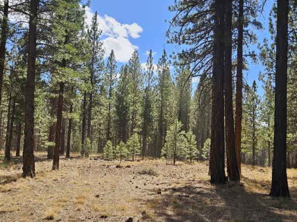
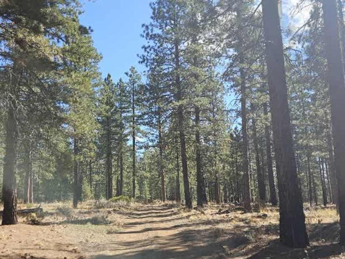
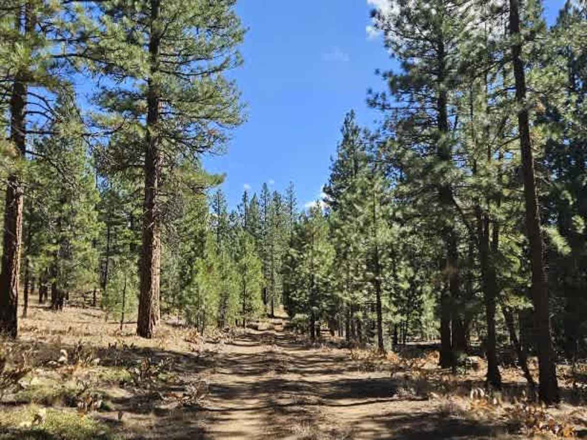
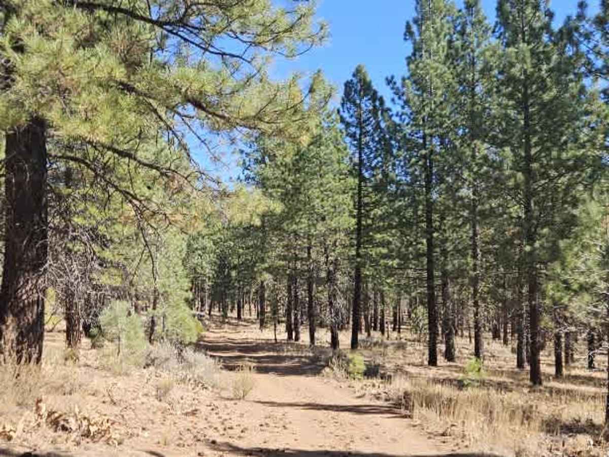
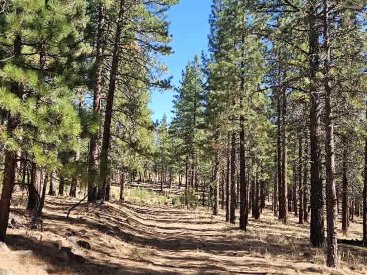
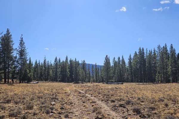
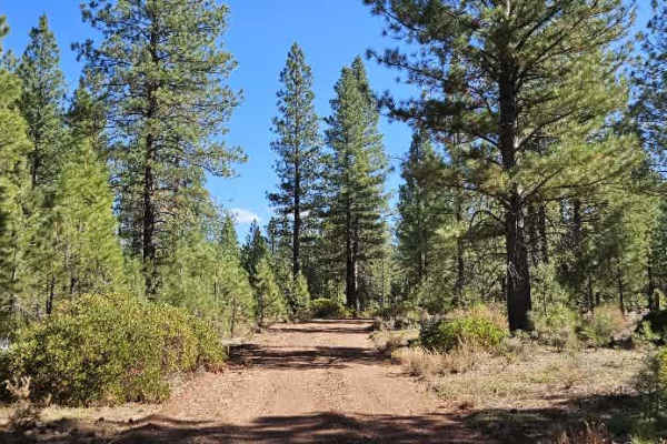
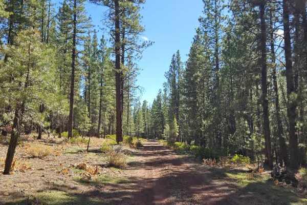
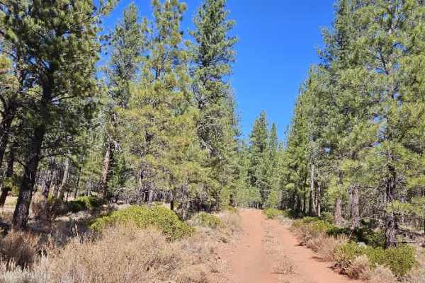
This well-maintained trail winds through a lovely forest, with pine needles covering much of the ground and softening the driving surface in places. The road is fairly dusty, and conditions vary along the way, with a short stretch of rocky red gravel just before and after the split. Beyond this section, the surface improves and returns to the smoother forest road found at the beginning, making for generally easy driving. A couple of areas along the route offer opportunities for dispersed camping, with pleasant wooded surroundings. Although the physical road continues beyond the mapped endpoint and there are signs vehicles have traveled farther, both the map and MVUM indicate the continuation is closed. Please respect the designated closure and do not proceed beyond the permitted route. ATVs, UTVs, Side-by-Sides, and Dirt Bikes must always have a valid California ATV Operating Permit sticker.