Trail Overview
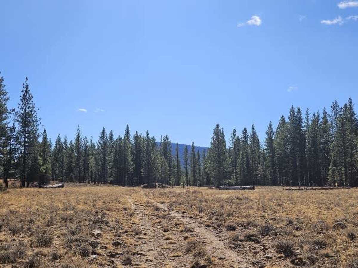
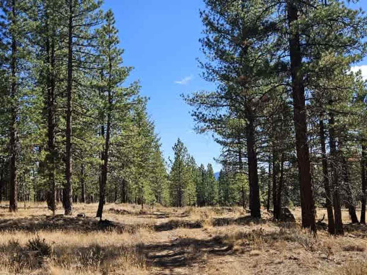
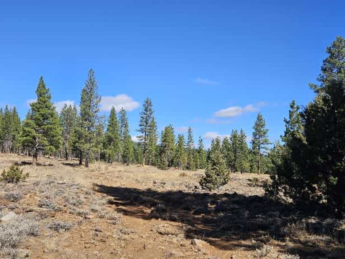
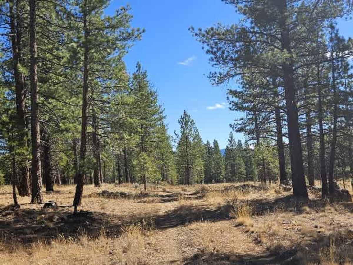
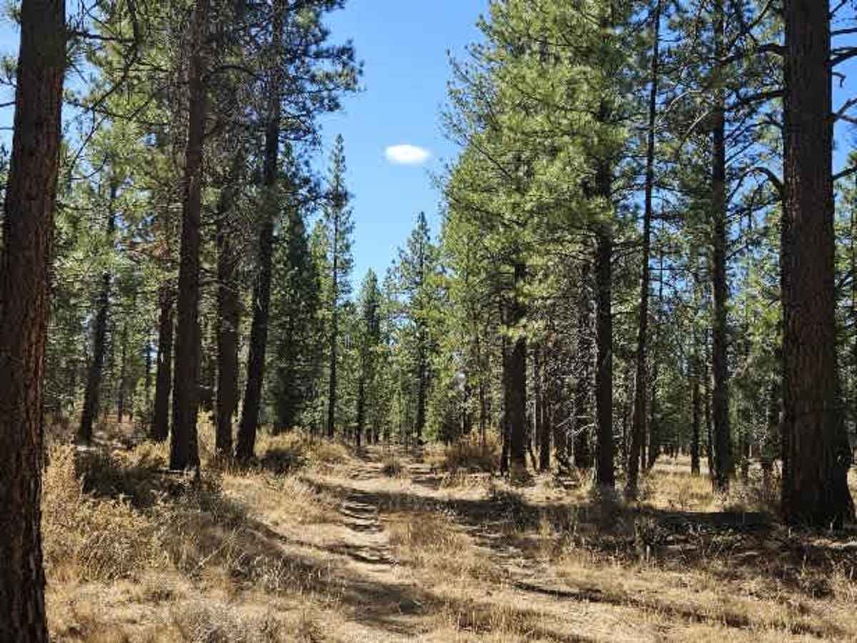
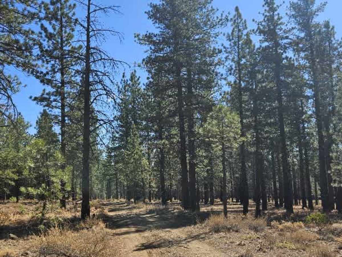
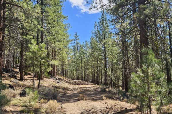
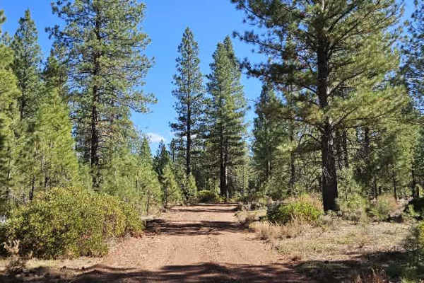
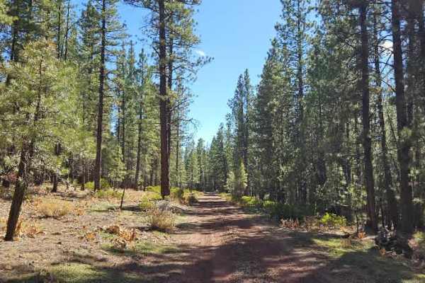
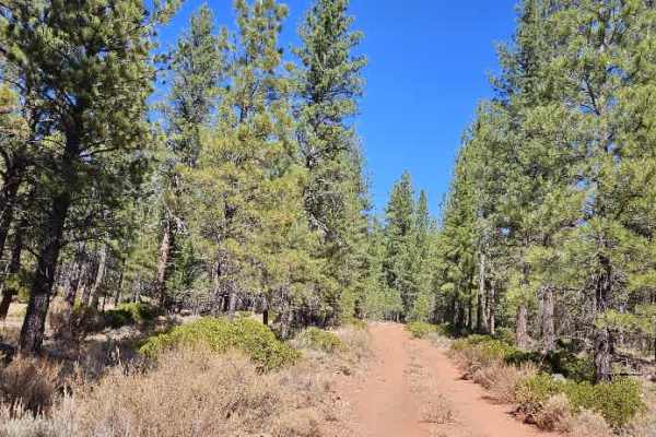
This trail starts fairly well maintained and leads to a large open area suitable for dispersed camping. Beyond this point, the road deteriorates significantly into an extremely rocky path, with loose, exposed rocks covering much of the surface. A couple of fence posts, without any fencing, mark where conditions begin to worsen. The route continues across a relatively flat plateau with open forest and long views across the surrounding landscape. This area is popular with hunters, so be mindful of hunting activity and other vehicles. While the first half is manageable for most motor vehicles, the second half is much better suited to high-clearance vehicles, particularly ATVs and Side-by-Sides. Take your time navigating the rocks, and don't bring a trailer beyond the more maintained section, as the rough terrain isn't suitable for towing. ATVs, UTVs, Side-by-Sides, and Dirt Bikes must always have a valid California ATV Operating Permit sticker.