Trail Overview
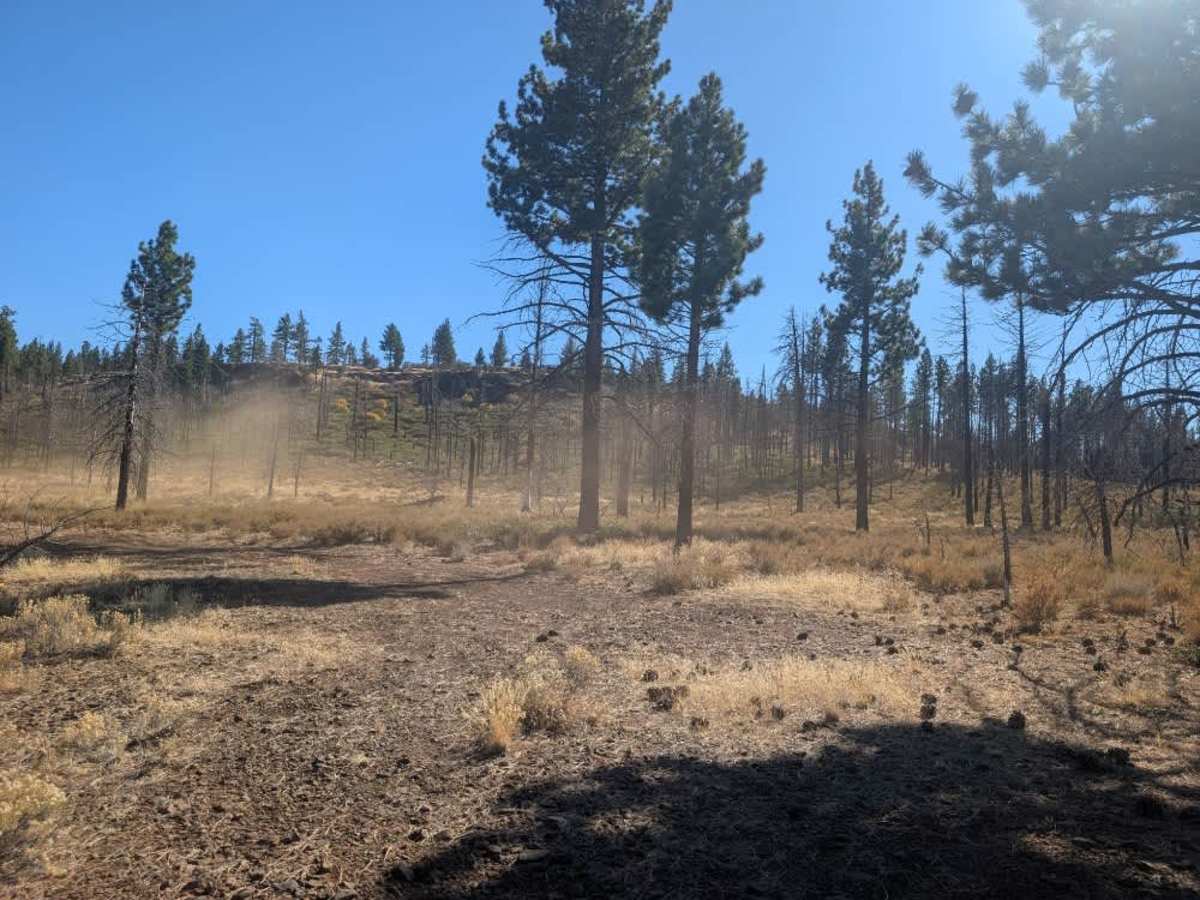
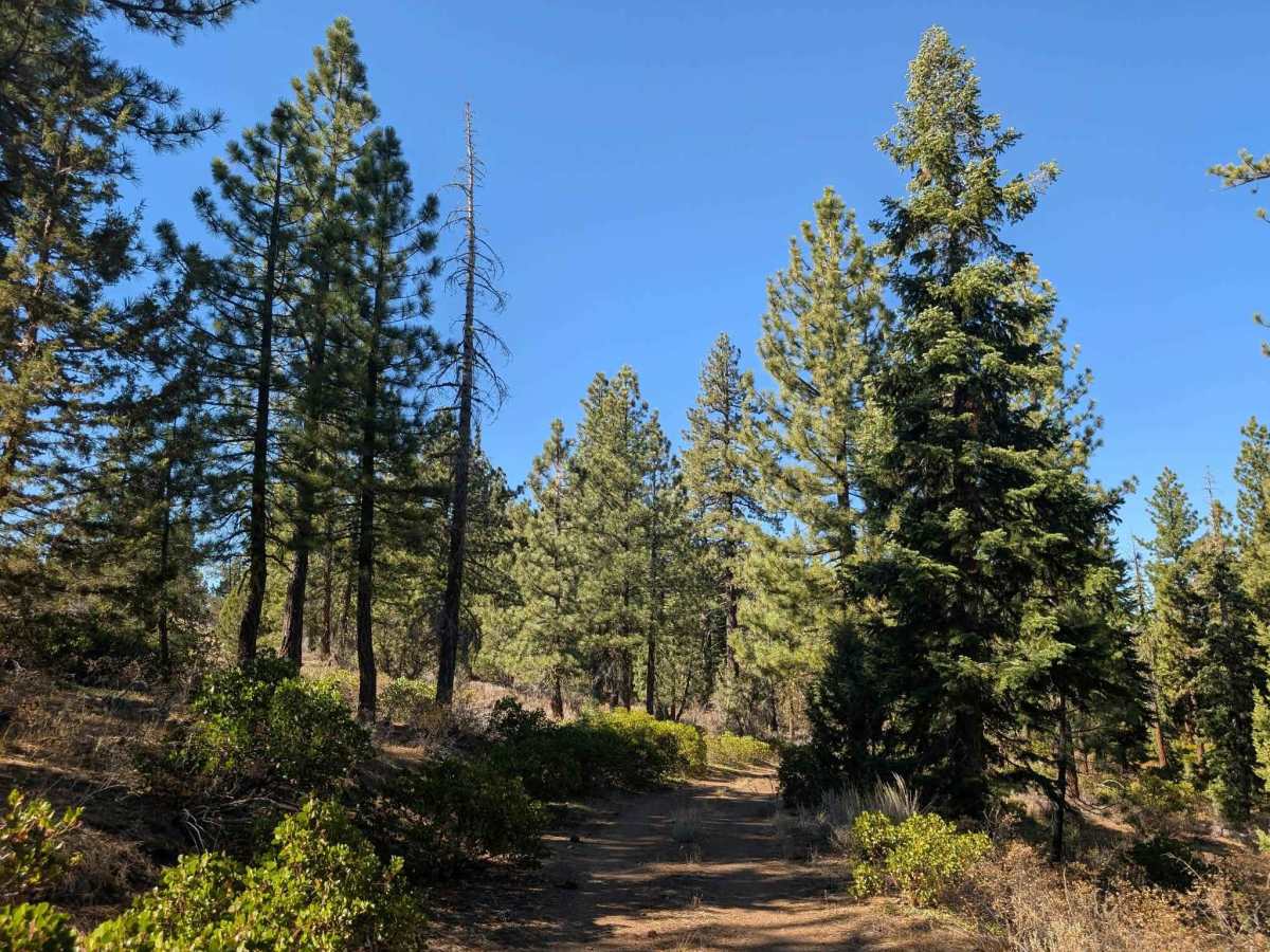
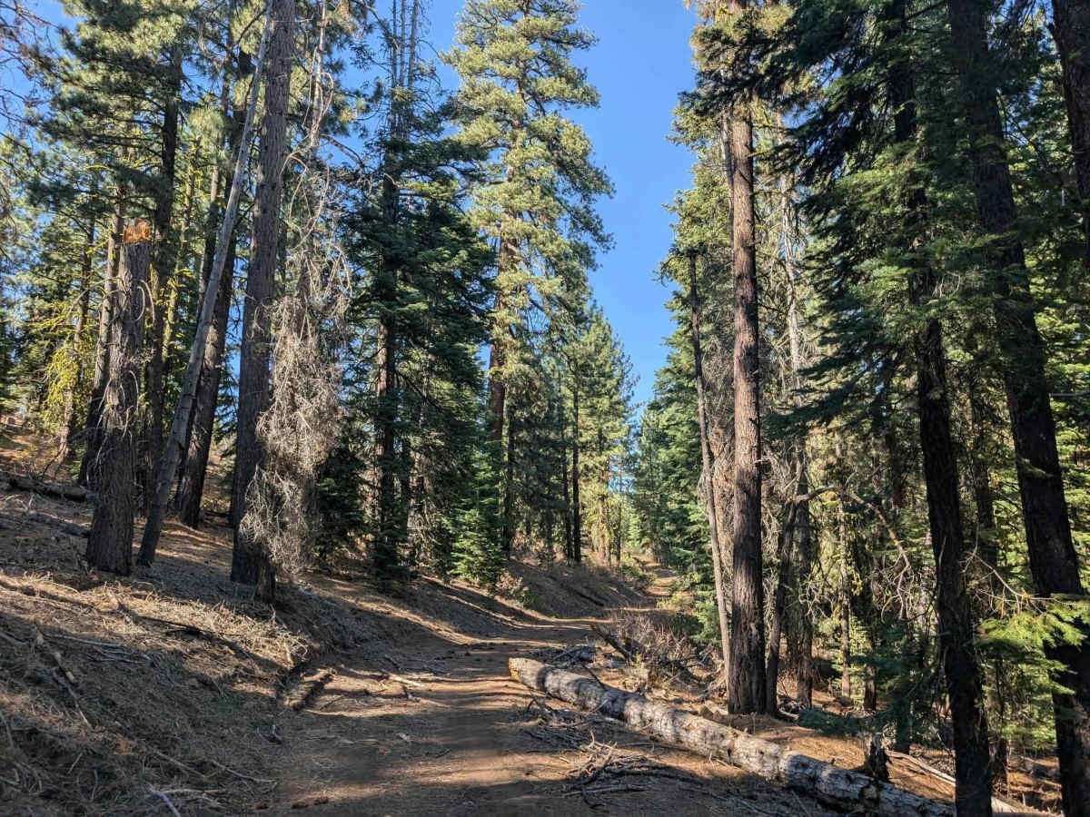
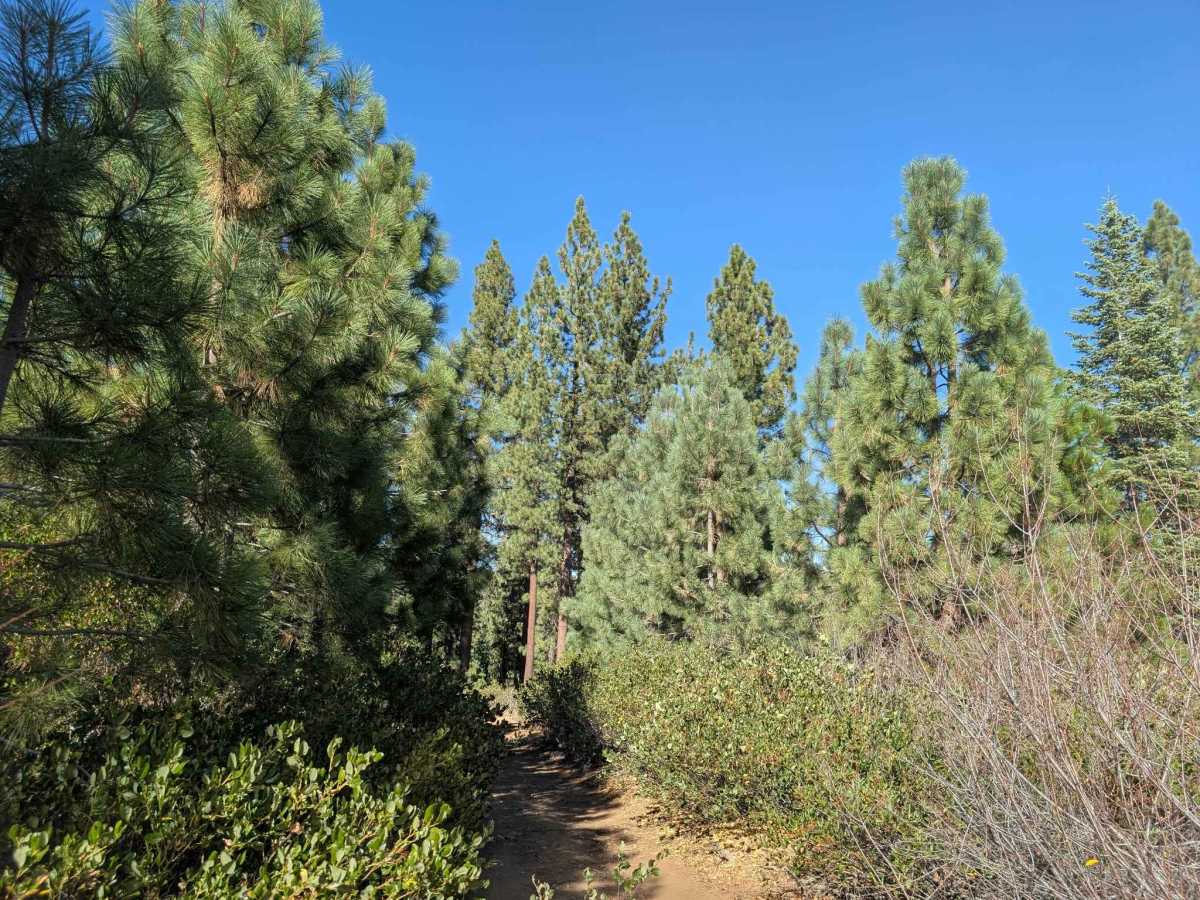
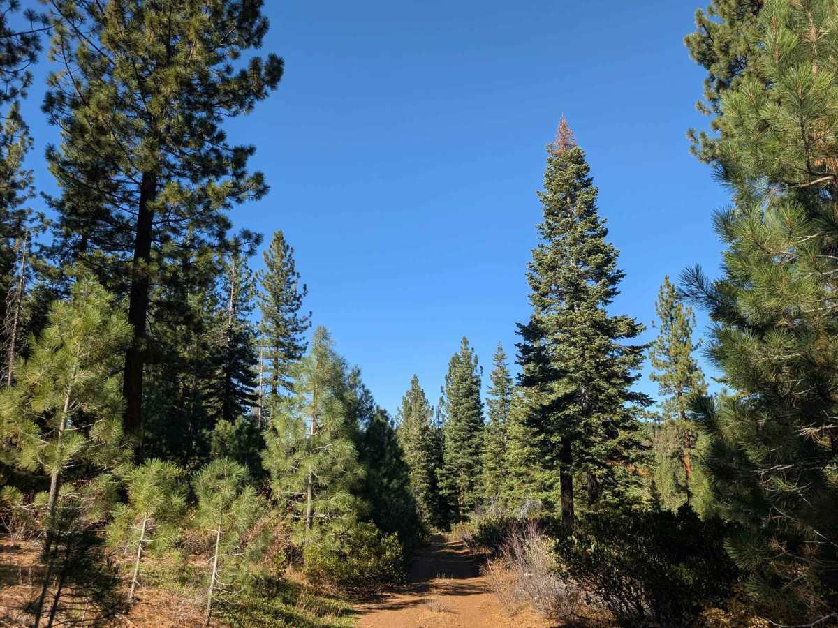
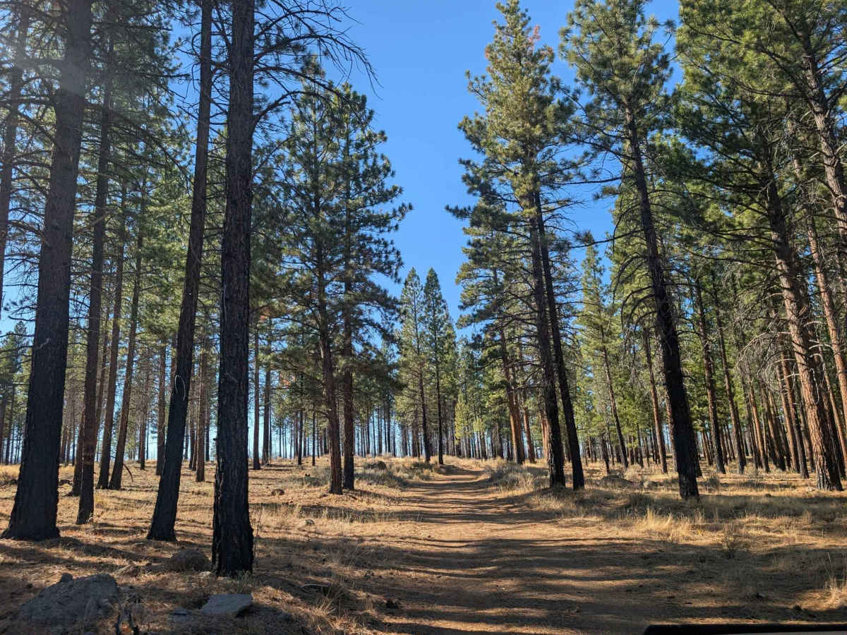
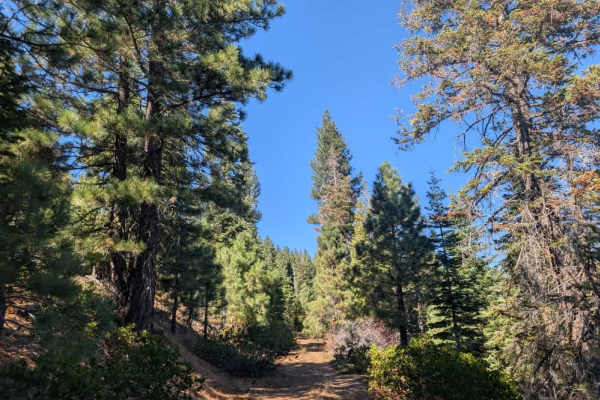
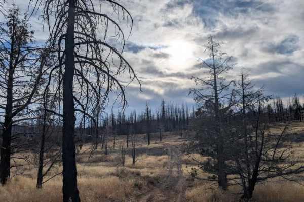
This mountain trail offers a varied drive, with rocky climbs, dips, and winding descents through dense vegetation. The surface changes frequently, from loose rocks and gravel in the steeper sections to stretches where additional gravel has been laid to improve the road. The route can get very tight, with tall brush and overhanging trees close to the vehicle, so expect pinstriping along the way. As you descend into the valley, the landscape opens into a fire-affected area. Some burned trees and debris still encroach on the road, so take care through this section. Thankfully, the rocky terrain eventually gives way to a smoother, sandy road, offering a welcome break from the rougher stretches. The route also offers a couple of lovely potential camping spots, including areas that can accommodate larger groups. ATVs, UTVs, Side-by-Sides, and Dirt Bikes must always have a valid California ATV Operating Permit sticker.
Difficulty
The trail has varied terrain, with rocky climbs, loose gravel, winding descents, and narrow, overgrown sections that require careful driving.