FS 26N29

Total Miles1.6
Technical Rating
1Easy
Best TimeSpring, Summer, Fall
Trail TypeFull-Width Road
Accessible By
Open Trail Map

Trail Overview

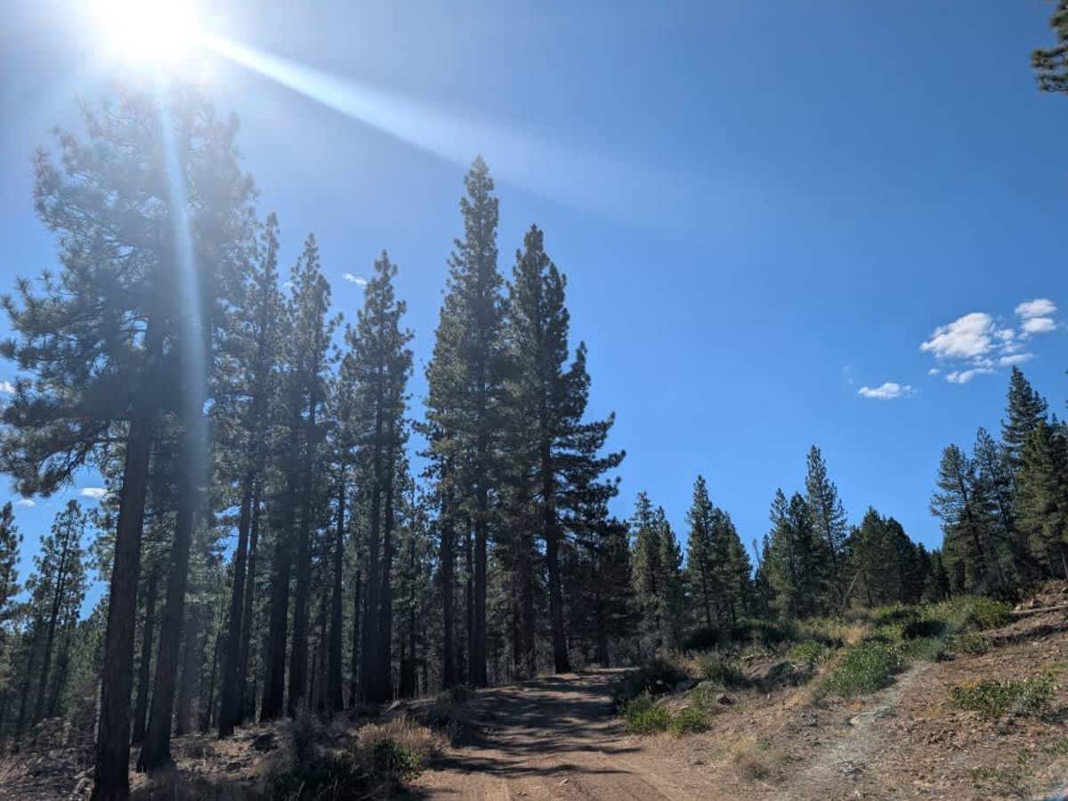
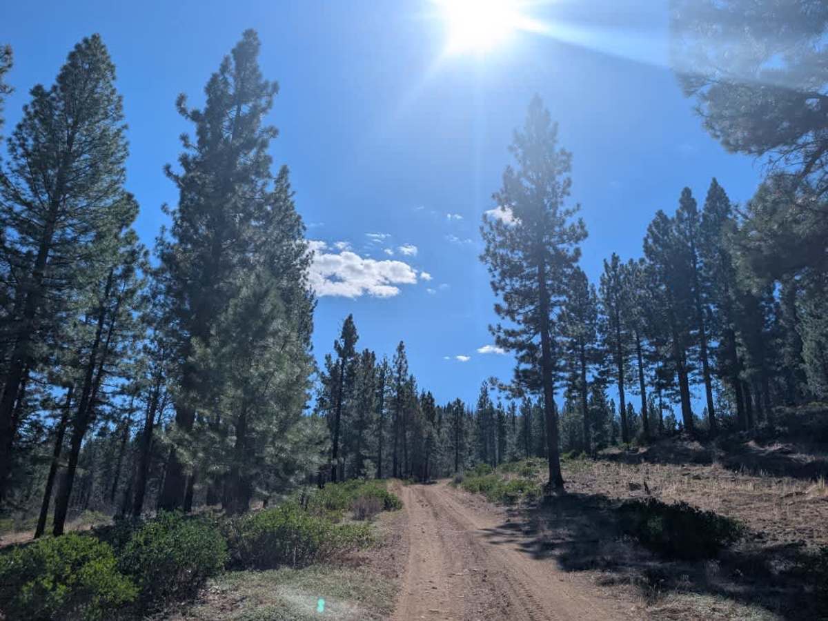
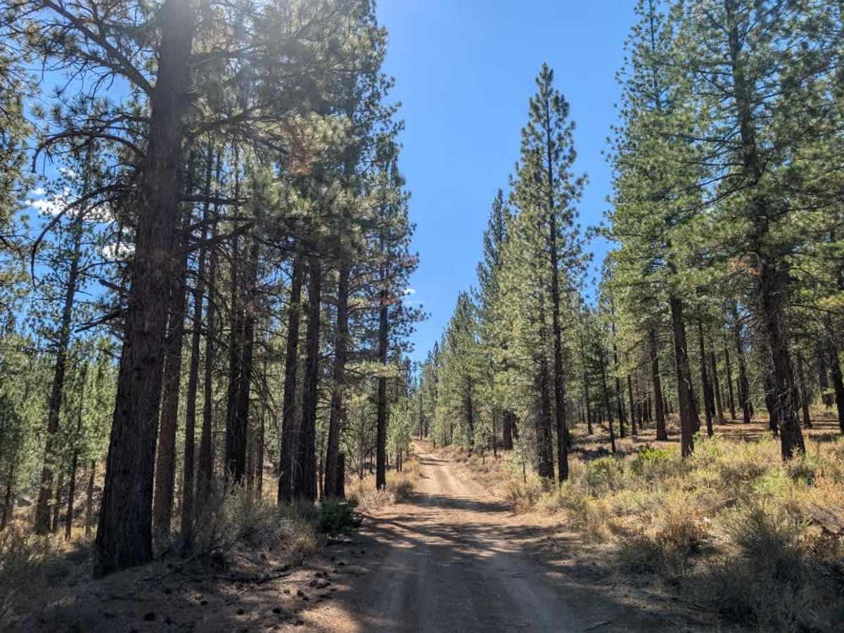
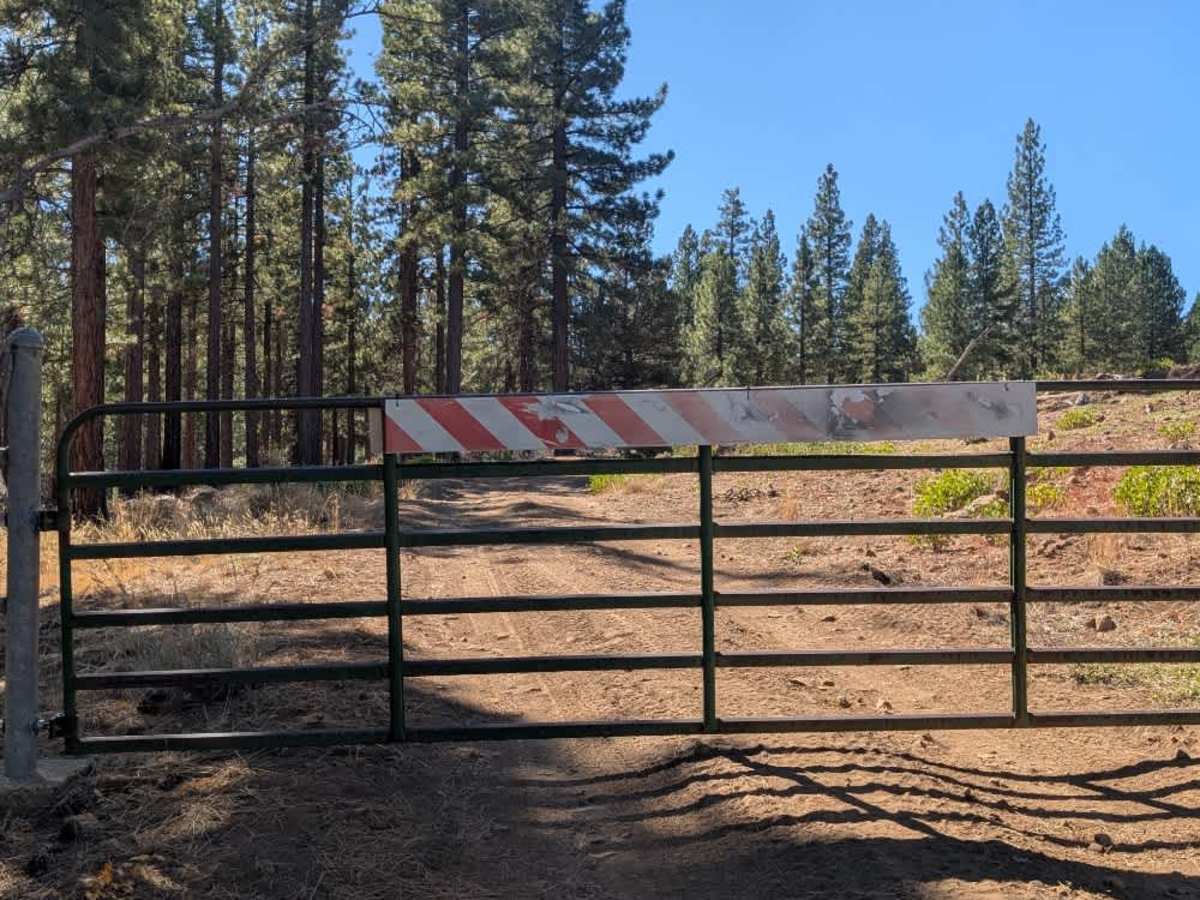
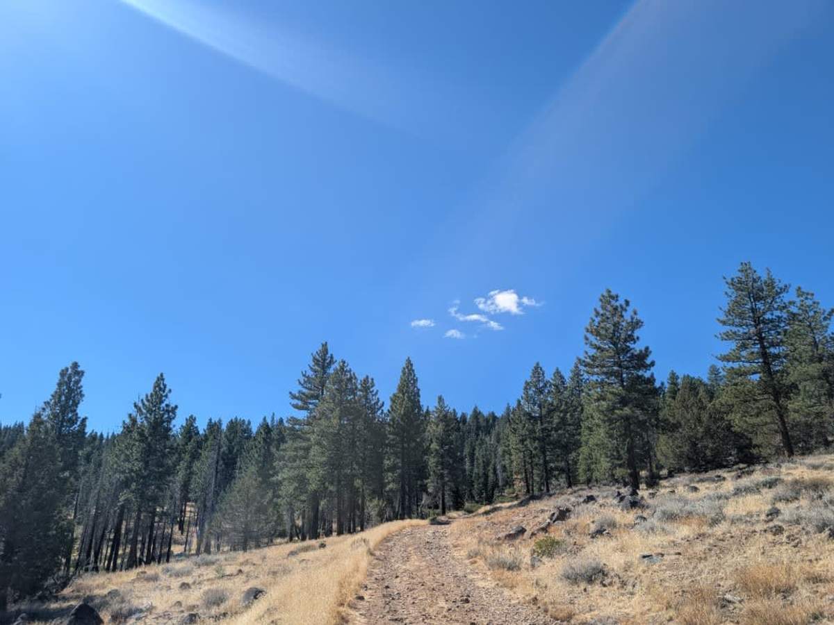
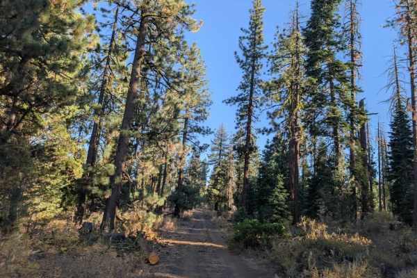
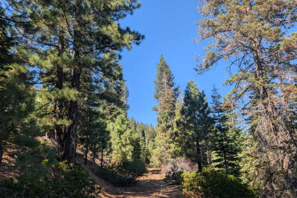
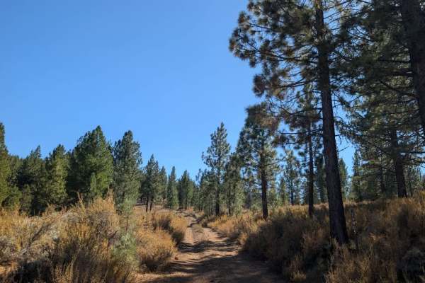
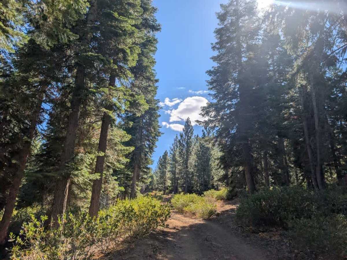
This short road starts beautifully, offering a welcome break from the corrugations on the connecting route. The initial section is pleasant and easygoing, but conditions change considerably once you pass through the gate. From there, the road climbs uphill over an exceptionally rocky surface, with plenty of sharp rocks that make for a slow, uncomfortable drive. Make sure your tires are in good condition, and be careful with tire placement to avoid damage. Although the climb is manageable and not particularly technical, the rough surface requires patience, so don’t expect a smooth ride. The route eventually intersects FS 26N35, a single-lane road in fairly poor condition. ATVs, UTVs, Side-by-Sides, and Dirt Bikes must always have a valid California ATV Operating Permit sticker.

Photos of FS 26N29

Difficulty

The road starts easily but becomes exceptionally rocky after the gate, requiring slow driving and careful tire placement.

Technical Rating

1

FS 26N29 Trail can be accessed by the following ride types:

  • Single Track
  • 50 Inch
  • 60 Inch
  • High Clearance
  • Full Width

FS 26N29 Map

The onX Offroad Difference

onX Offroad combines trail photos, descriptions, difficulty ratings, width restrictions, seasonality, and more in a user-friendly interface. Available on all devices, with offline access and full compatibility with CarPlay and Android Auto. Discover what you're missing today!

Open Trail Map