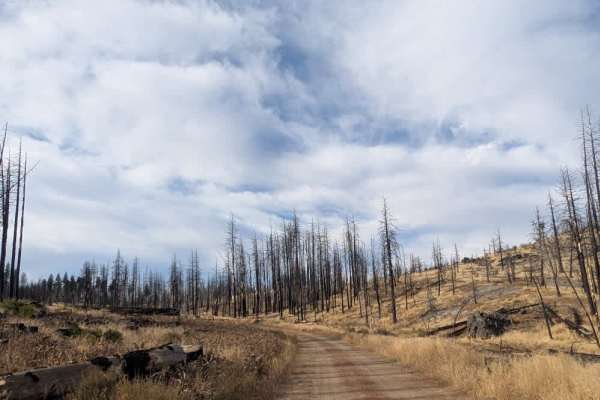
Trail Overview
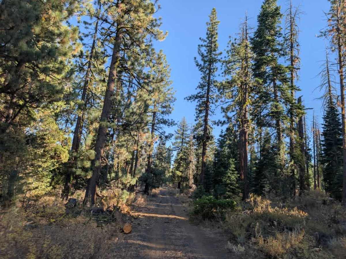
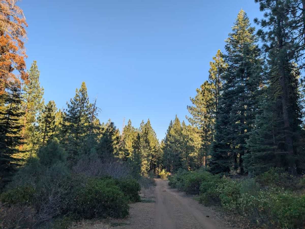
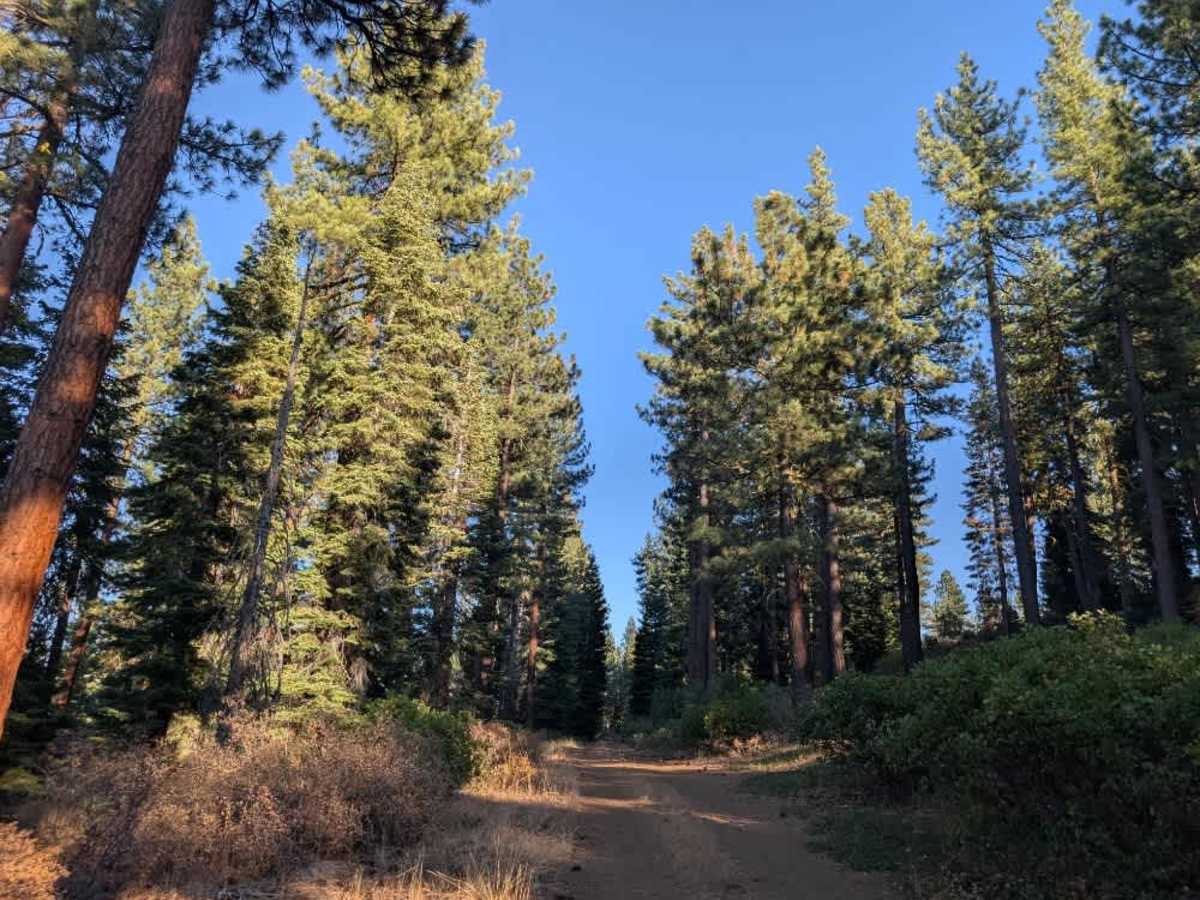
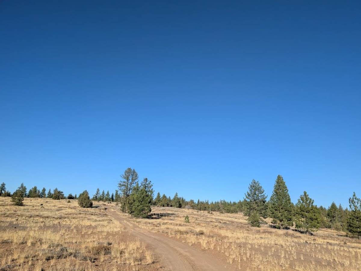
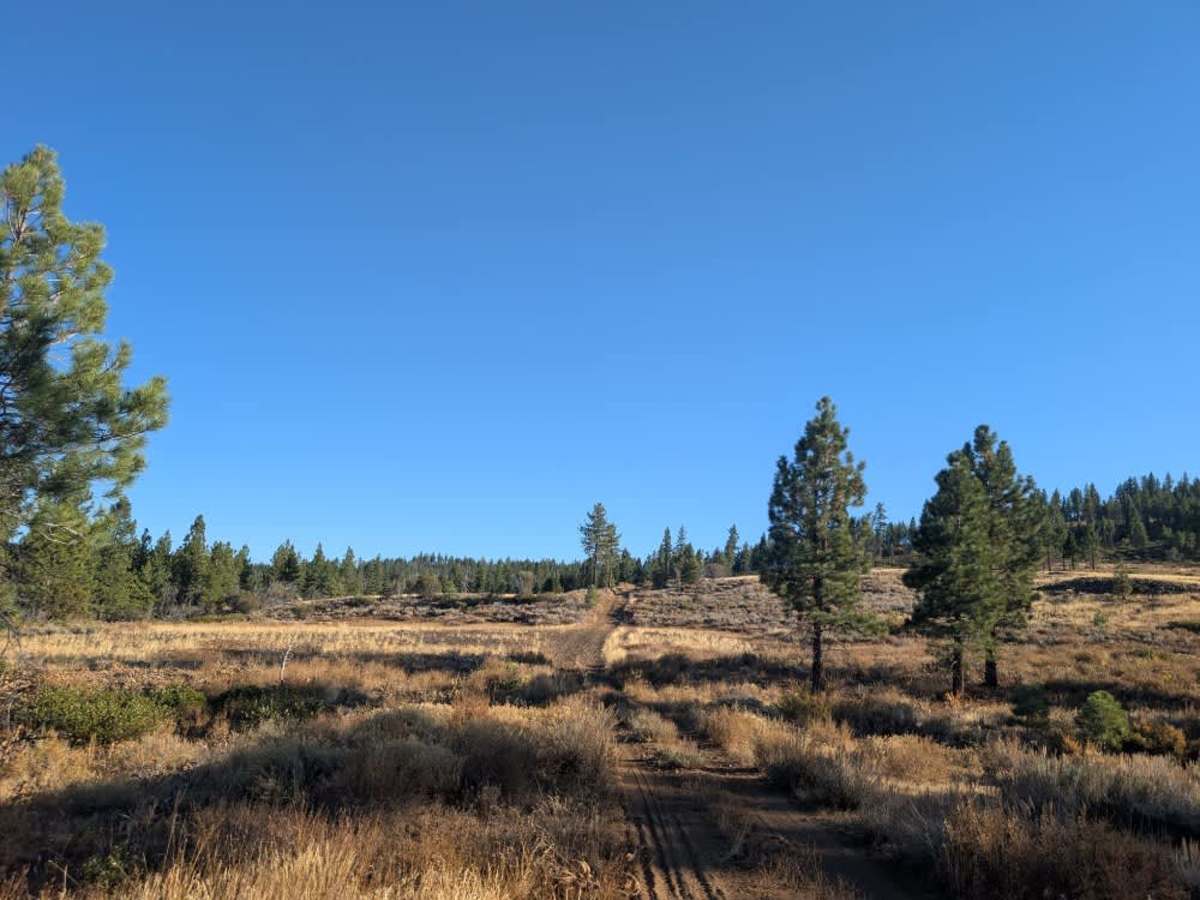
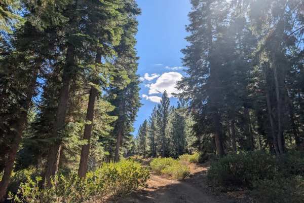
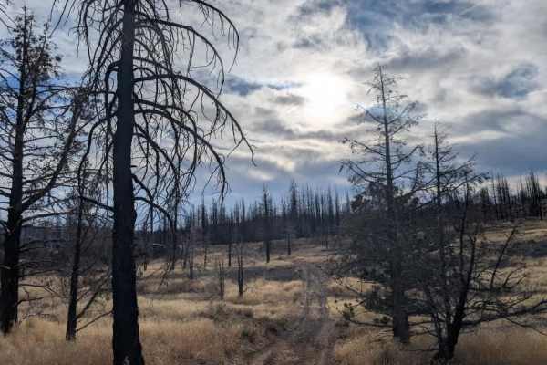
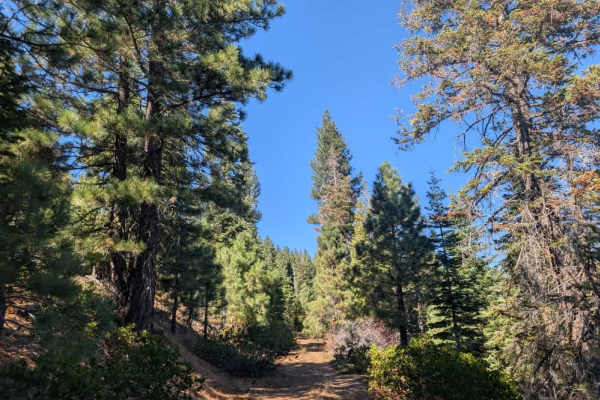
This maintained trail has a rocky, sandy, and dusty surface, with some uphill sections and a couple of potential places to pull over and camp along the way. Conditions vary by section, and only part of the route has been assessed, so the remainder is uncertain. If you approach from Roland Dixie Road, the trail starts reasonably manageable but gets progressively narrower as you continue. Overhanging bushes encroach on the route, making pinstriping unavoidable and putting side mirrors at risk of being knocked or damaged. In the tightest sections, the trail feels barely wide enough for an ATV, so wider vehicles should expect significant scratches along their sides. This route is not suitable for ordinary passenger cars; a high-clearance vehicle is strongly recommended, along with ATVs and Side-by-Sides that can handle the narrow, uneven terrain. ATVs, UTVs, Side-by-Sides, and Dirt Bikes must always have a valid California ATV Operating Permit sticker.