FS 26N35

Total Miles6.9
Technical Rating
2Easy
Best TimeSpring, Summer, Fall
Trail TypeFull-Width Road
Accessible By
Open Trail Map

Trail Overview

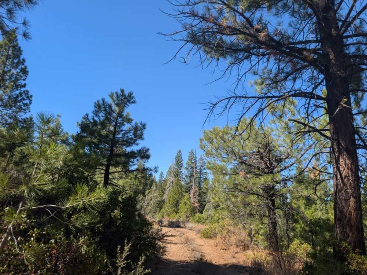
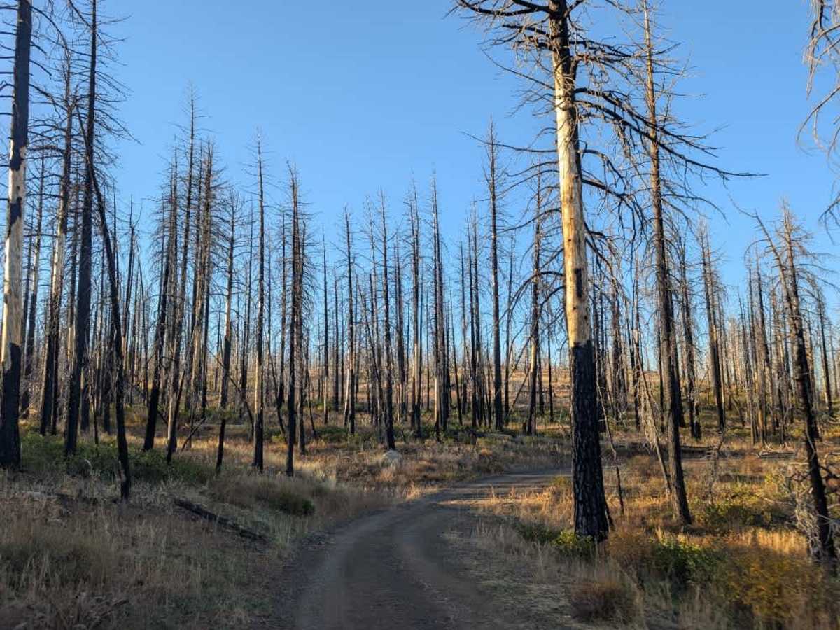
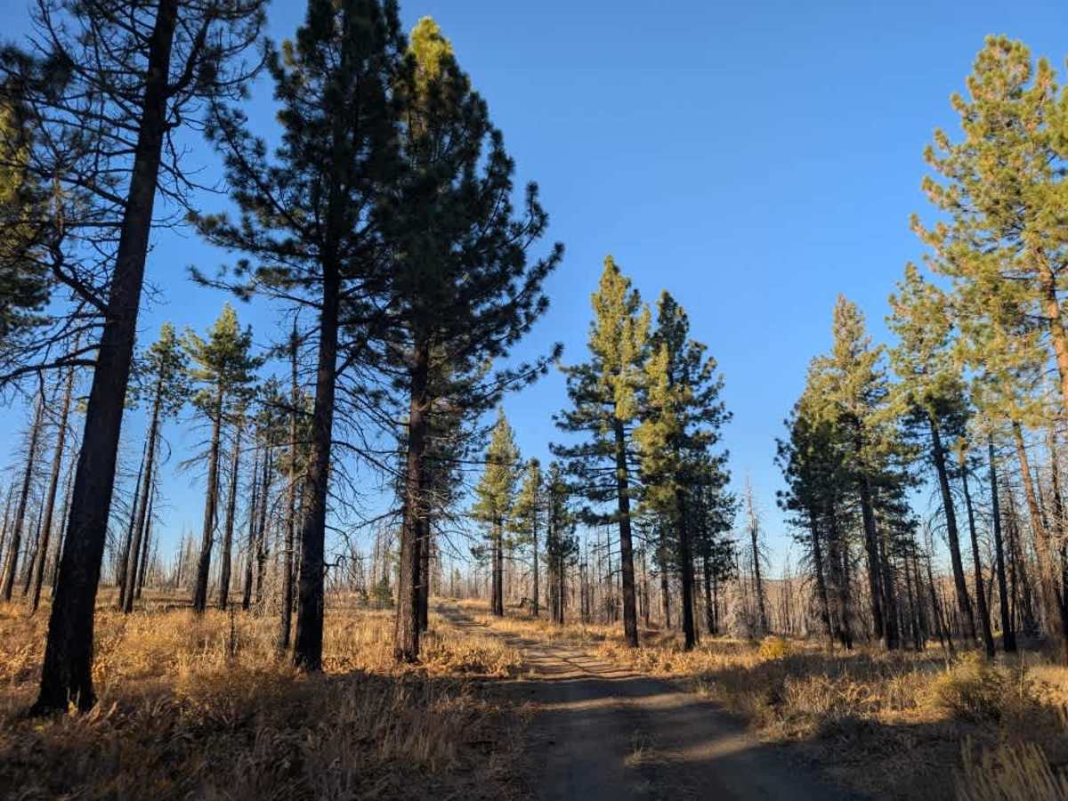
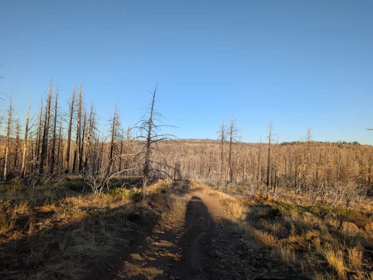
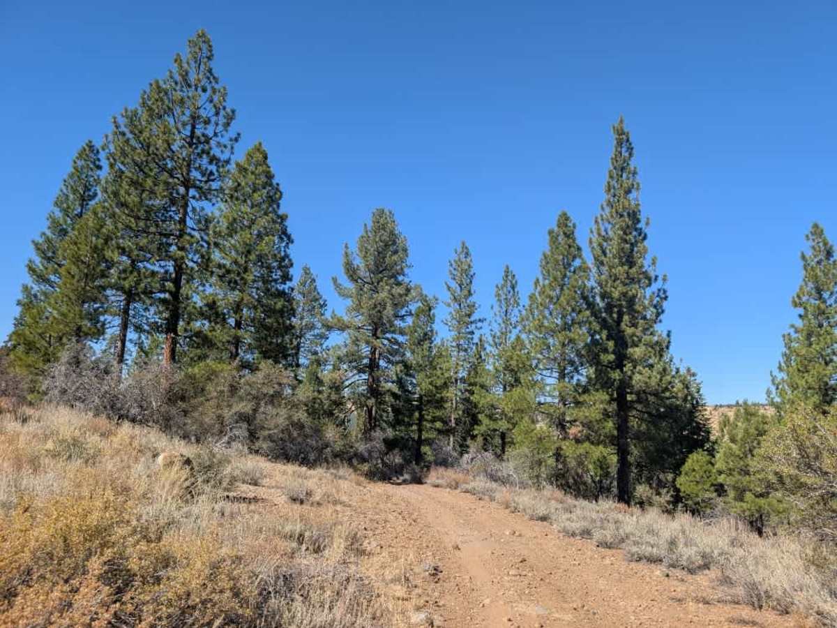
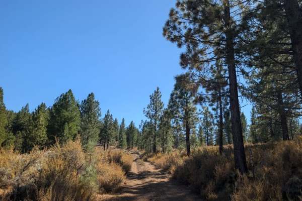
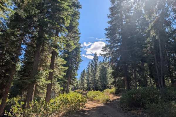
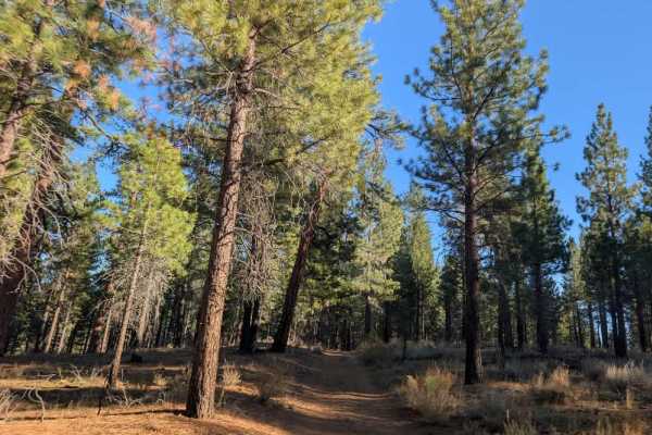
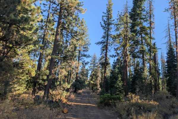
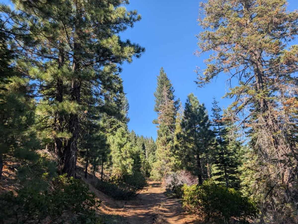
This varied trail winds through a beautiful pine forest, with conditions changing along the way. Some stretches have a lovely, soft surface covered in pine needles, while others are rocky, dusty, and uneven. The road climbs steadily in places, with sharp rocks often hidden beneath the loose sand and dust, so watch your tire placement carefully. Overhanging trees and branches narrow the route considerably in some sections. Although much of the vegetation has been cut back, a few trees and obstacles remain, and pinstriping is likely. Water runoff has also carved deep ruts into the road in some areas, which could make the trail considerably more challenging during or after rain. Conditions improve farther along, but the mix of rocky climbs, tight vegetation, and occasional erosion means it’s worth taking your time. ATVs, UTVs, Side-by-Sides, and Dirt Bikes must always have a valid California ATV Operating Permit sticker.

Photos of FS 26N35

Difficulty

The trail varies in difficulty, with rocky climbs, deep ruts, and narrow sections requiring careful navigation.

Technical Rating

2

FS 26N35 Trail can be accessed by the following ride types:

  • Single Track
  • 50 Inch
  • 60 Inch
  • High Clearance
  • Full Width

FS 26N35 Map

The onX Offroad Difference

onX Offroad combines trail photos, descriptions, difficulty ratings, width restrictions, seasonality, and more in a user-friendly interface. Available on all devices, with offline access and full compatibility with CarPlay and Android Auto. Discover what you're missing today!

Open Trail Map