Trail Overview
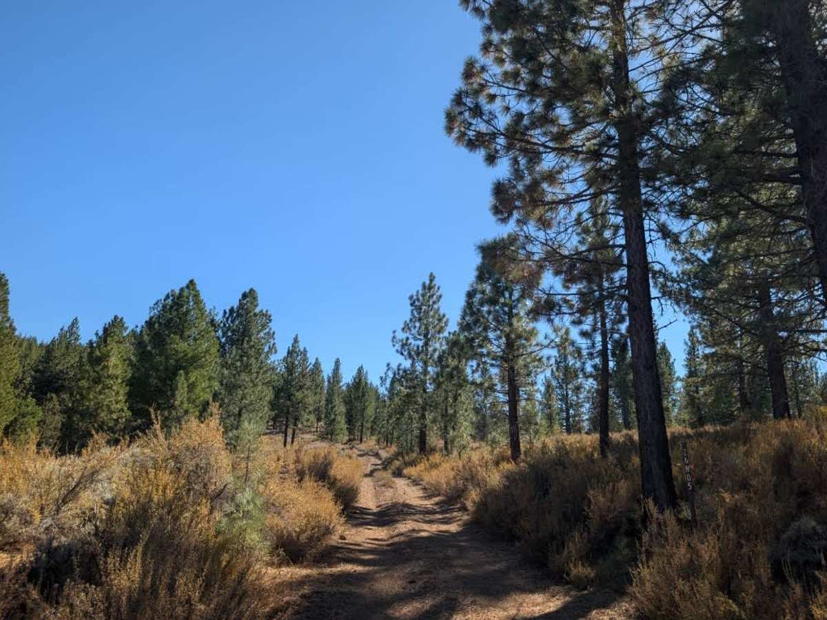
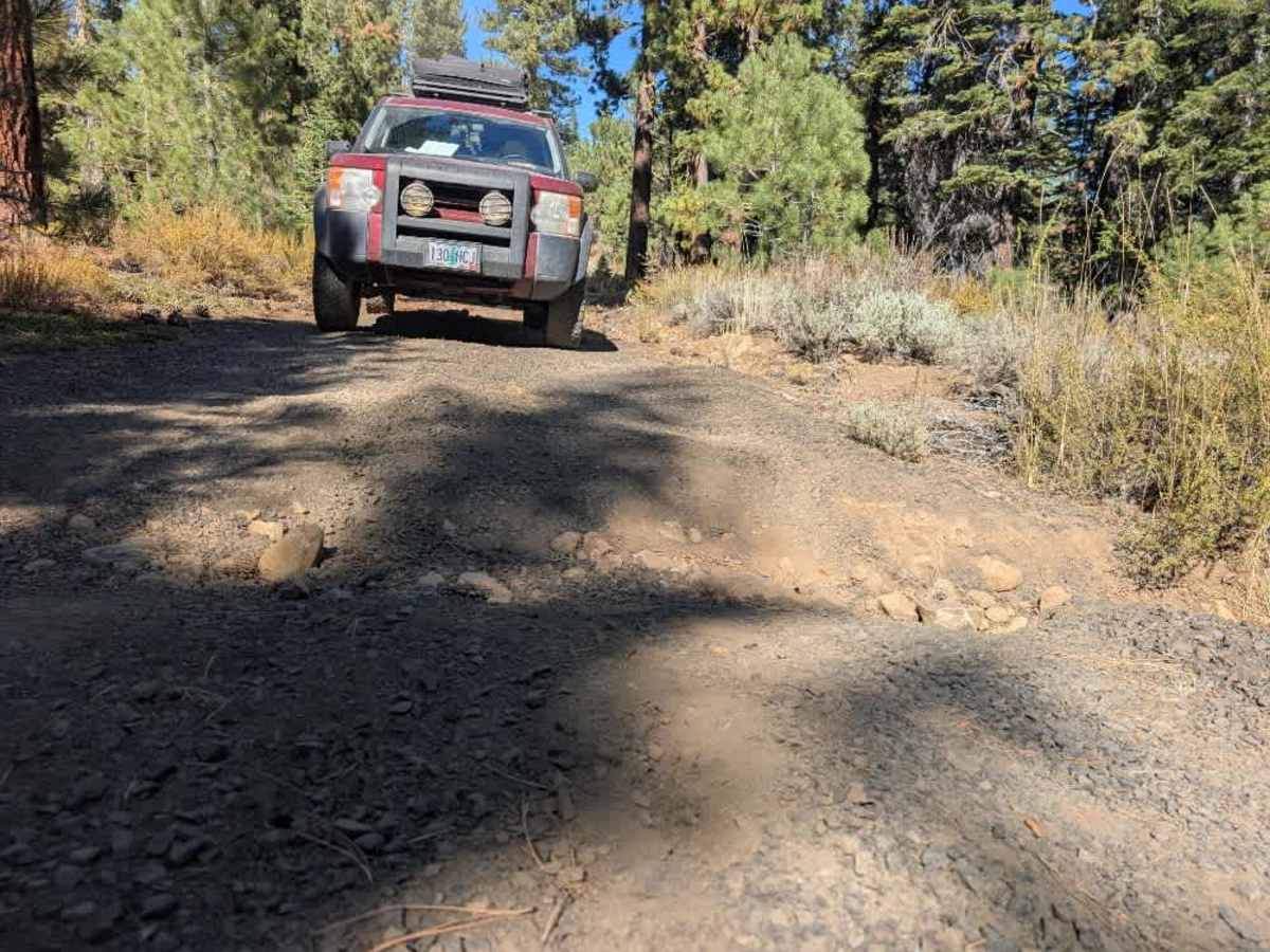
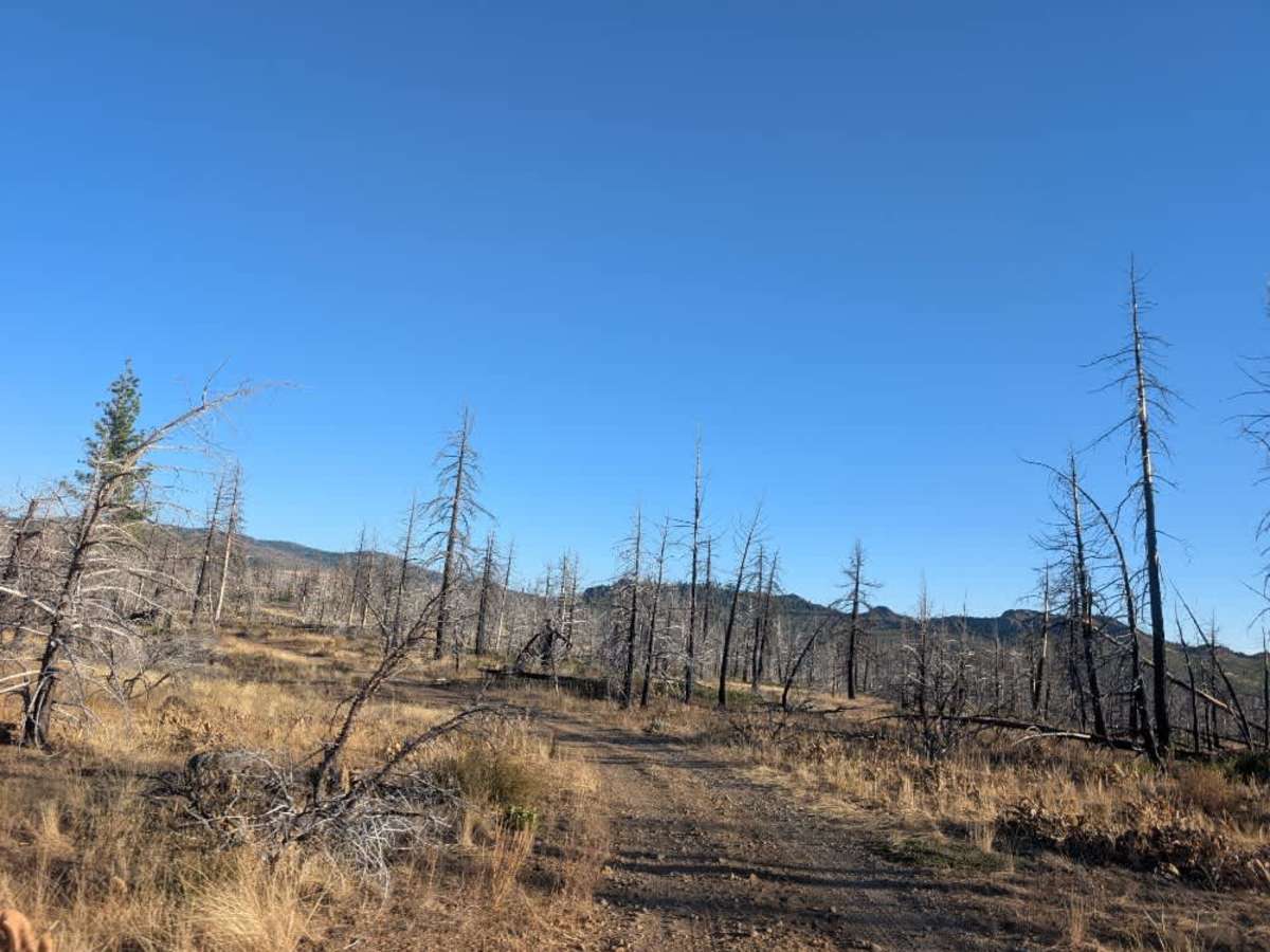
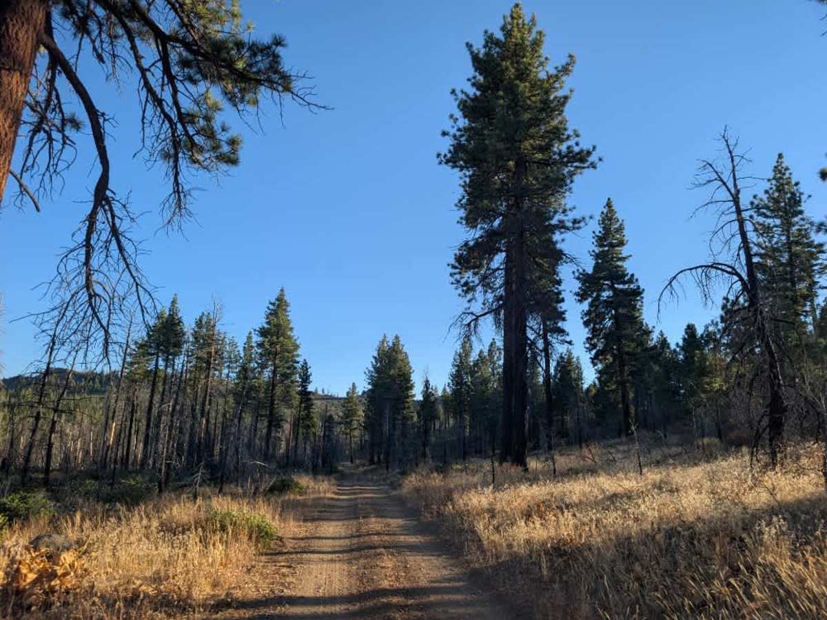
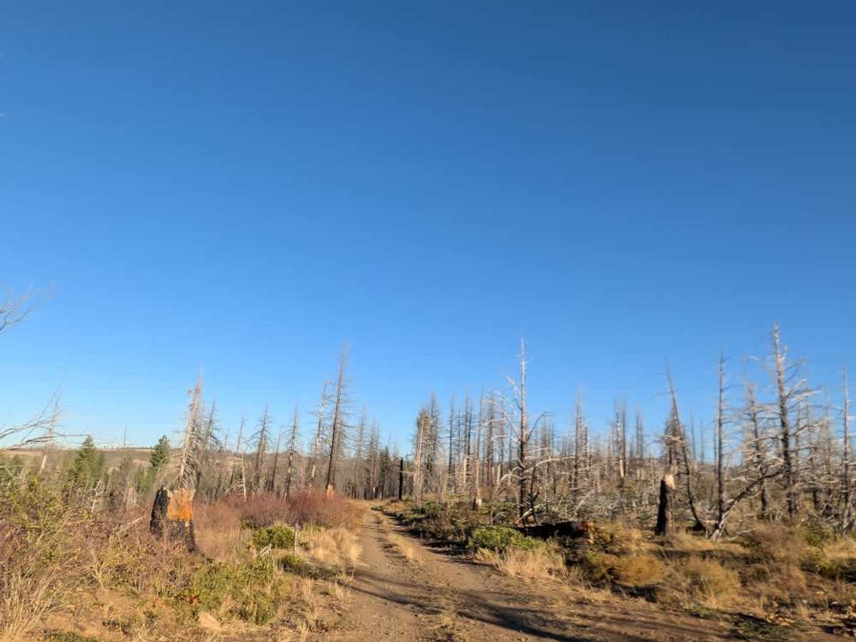
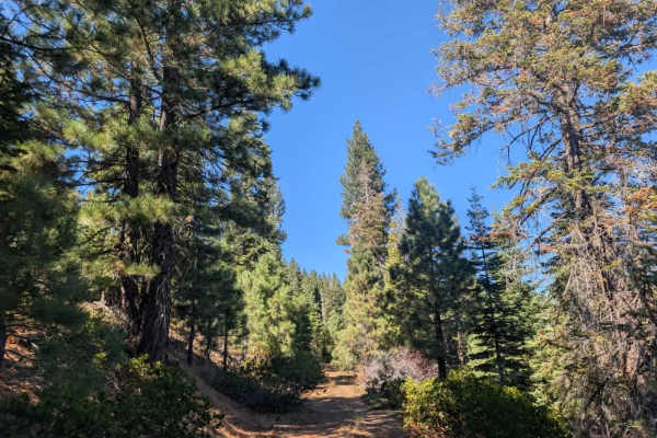
This trail varies considerably depending on which direction you approach from. Coming from the south via Milford-Beckworth, the first section is relatively well-maintained, with some loose rock but nothing particularly difficult. Conditions gradually deteriorate as you continue north, transitioning into a rougher middle section with rocky climbs and descents before reaching a much more challenging final stretch. The northern section is narrow, with vegetation close enough to cause pinstriping, and almost feels better suited to ATVs and SxSs. Expect steep gradients, thick sand, dust, loose and sharp rocks, and large drainage ruts that can appear unexpectedly. Some deteriorated sections have been repaired with gravel, but the road remains demanding, with sustained climbs making up much of the route. Although little debris obstructs the road, four-wheel drive is required in places, and this trail is not recommended for sedans or standard passenger vehicles. The trail can get particularly difficult during the rainy season, so make sure your vehicle is properly equipped before attempting the route. ATVs, UTVs, Side-by-Sides, and Dirt Bikes must always have a valid California ATV Operating Permit sticker.
Difficulty
This challenging trail requires suitable off-road capability, with loose rocks, deep ruts, and sustained climbs throughout the rougher sections.


 Offroad