FS 26N15X

Total Miles1.4
Technical Rating
1Easy
Best TimeSpring, Summer, Fall
Trail TypeFull-Width Road
Accessible By
Open Trail Map

Trail Overview

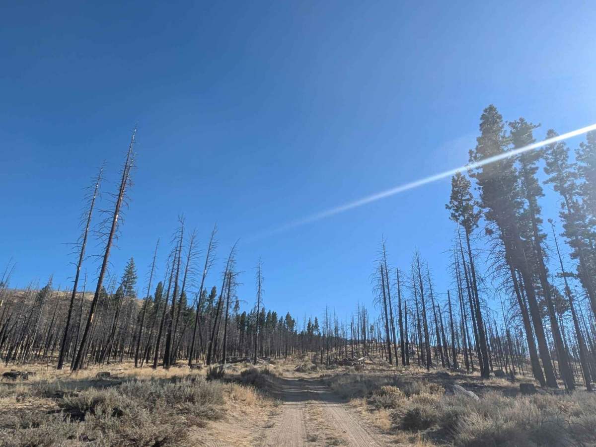
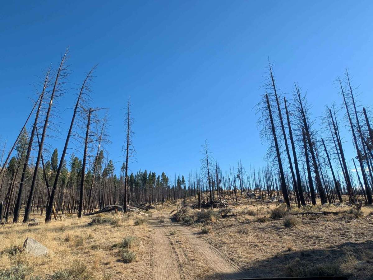
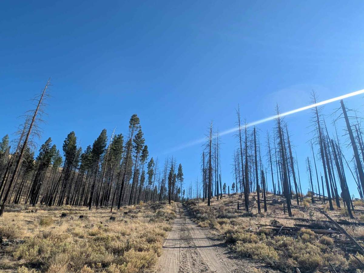
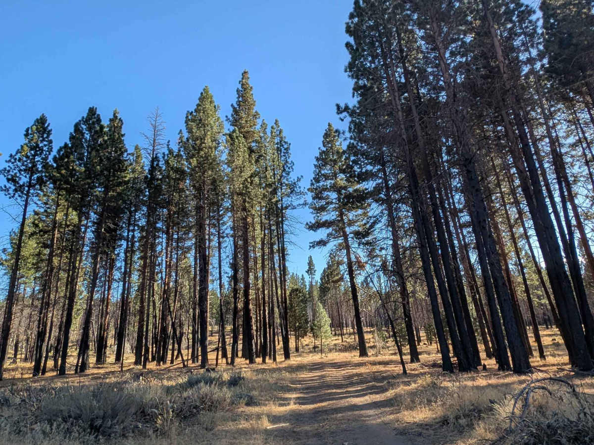
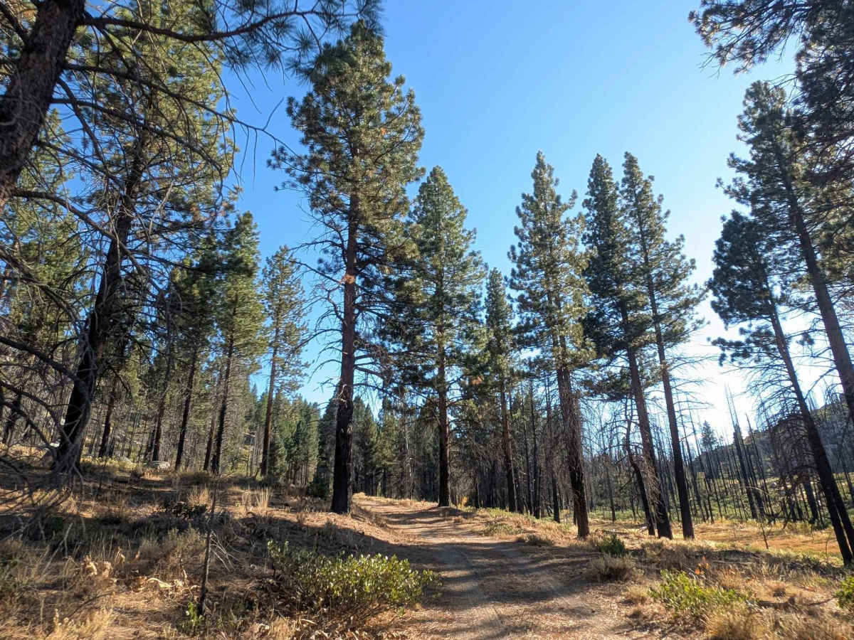
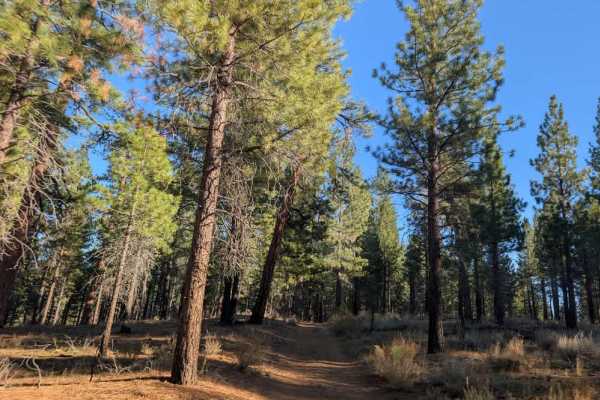
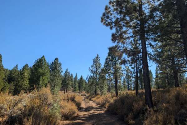
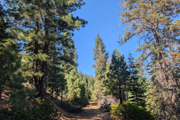
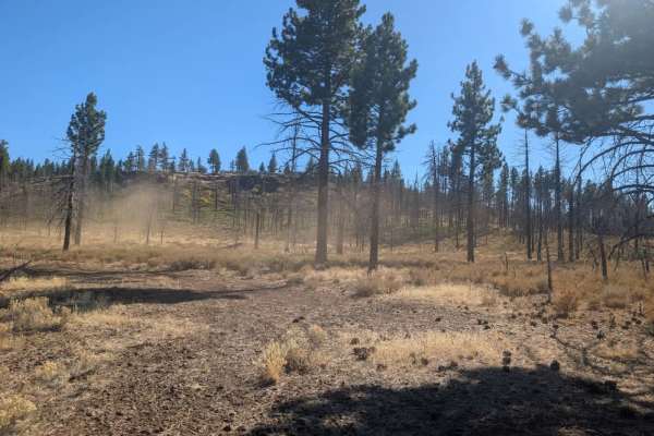
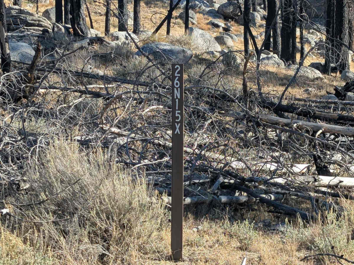
This trail starts off promising, winding through a beautiful wooded area with a large open clearing that may offer a potential dispersed camping spot. The first section is enjoyable, although you’ll need to take it slowly over a couple of large water irrigation ditches. Farther along, conditions deteriorate significantly, with numerous fallen trees and some extremely large logs obstructing the route. Many protrude into the driving path, so watch your vehicle’s clearance and be especially careful with ATVs and SxSs, as branches and logs can catch on the vehicle or lodge in the wheels. The trail eventually reaches a T-junction, where both options are effectively blocked. Fallen trees block the route to the right, while the route straight ahead narrows into a steep, rocky track that seems suitable only for dirt bikes; even then, continued access is uncertain. ATVs, UTVs, Side-by-Sides, and Dirt Bikes must always have a valid California ATV Operating Permit sticker.

Photos of FS 26N15X

Difficulty

The trail starts easily but becomes heavily obstructed by fallen trees and large logs, eventually preventing further travel.

Technical Rating

1

FS 26N15X Trail can be accessed by the following ride types:

  • Single Track
  • 50 Inch
  • 60 Inch
  • High Clearance
  • Full Width

FS 26N15X Map

The onX Offroad Difference

onX Offroad combines trail photos, descriptions, difficulty ratings, width restrictions, seasonality, and more in a user-friendly interface. Available on all devices, with offline access and full compatibility with CarPlay and Android Auto. Discover what you're missing today!

Open Trail Map