FS 26N44

Total Miles0.9
Technical Rating
1Easy
Best TimeSpring, Summer, Fall
Trail TypeFull-Width Road
Accessible By
Open Trail Map

Trail Overview

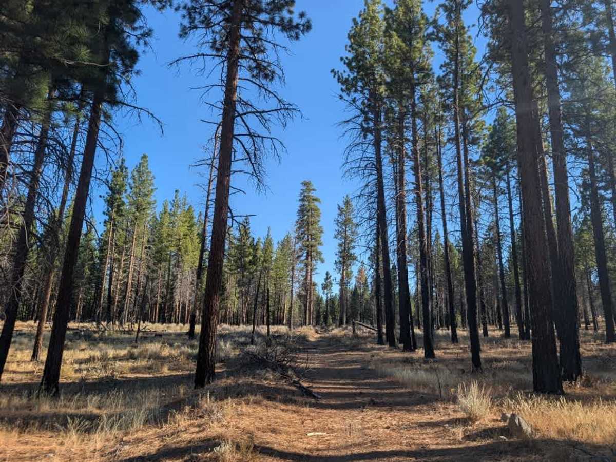
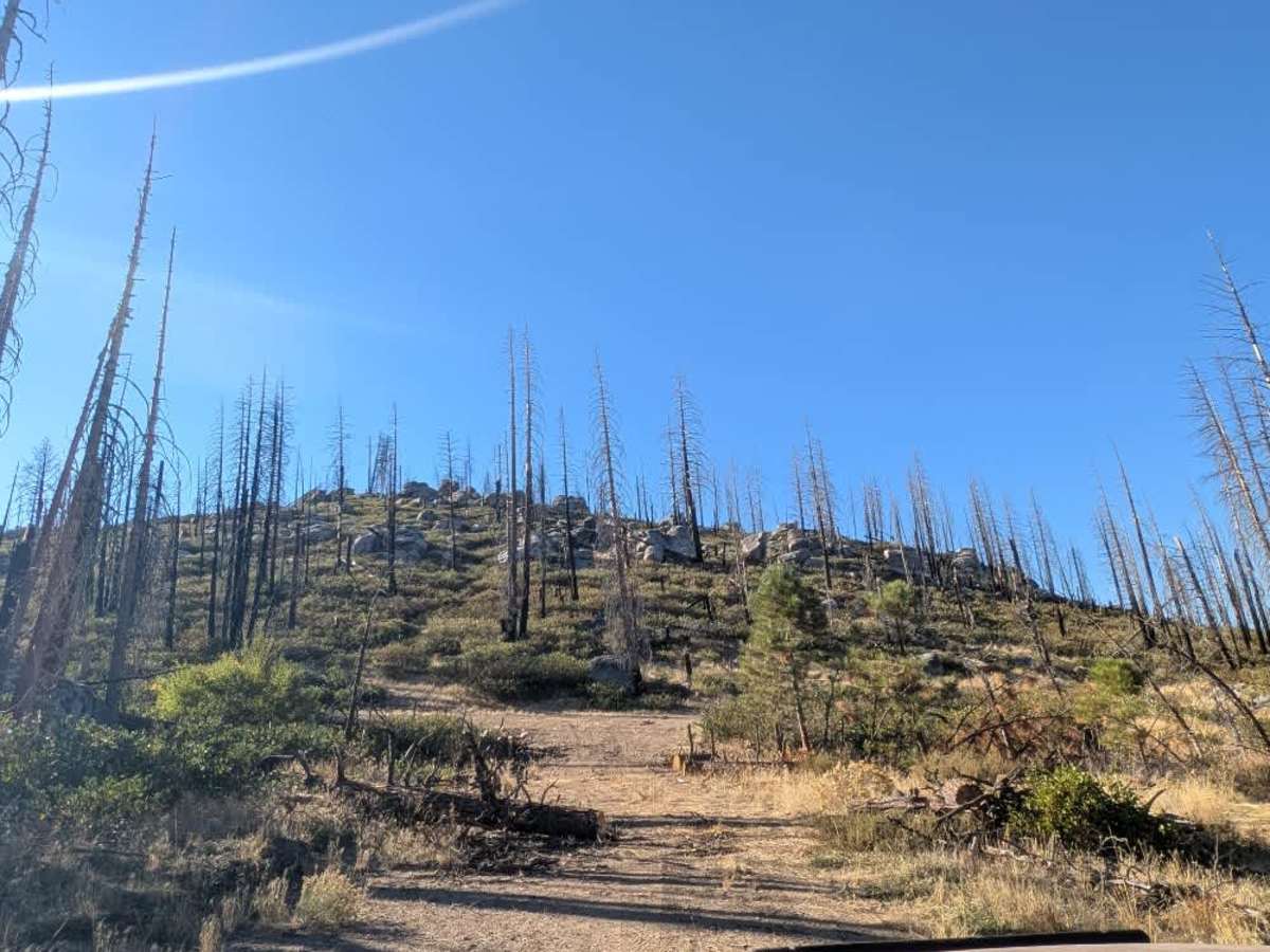
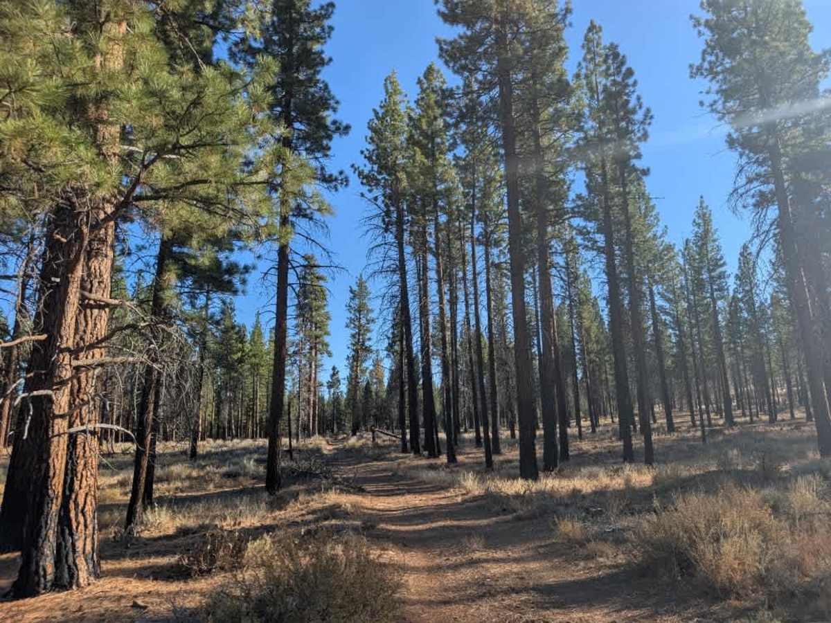
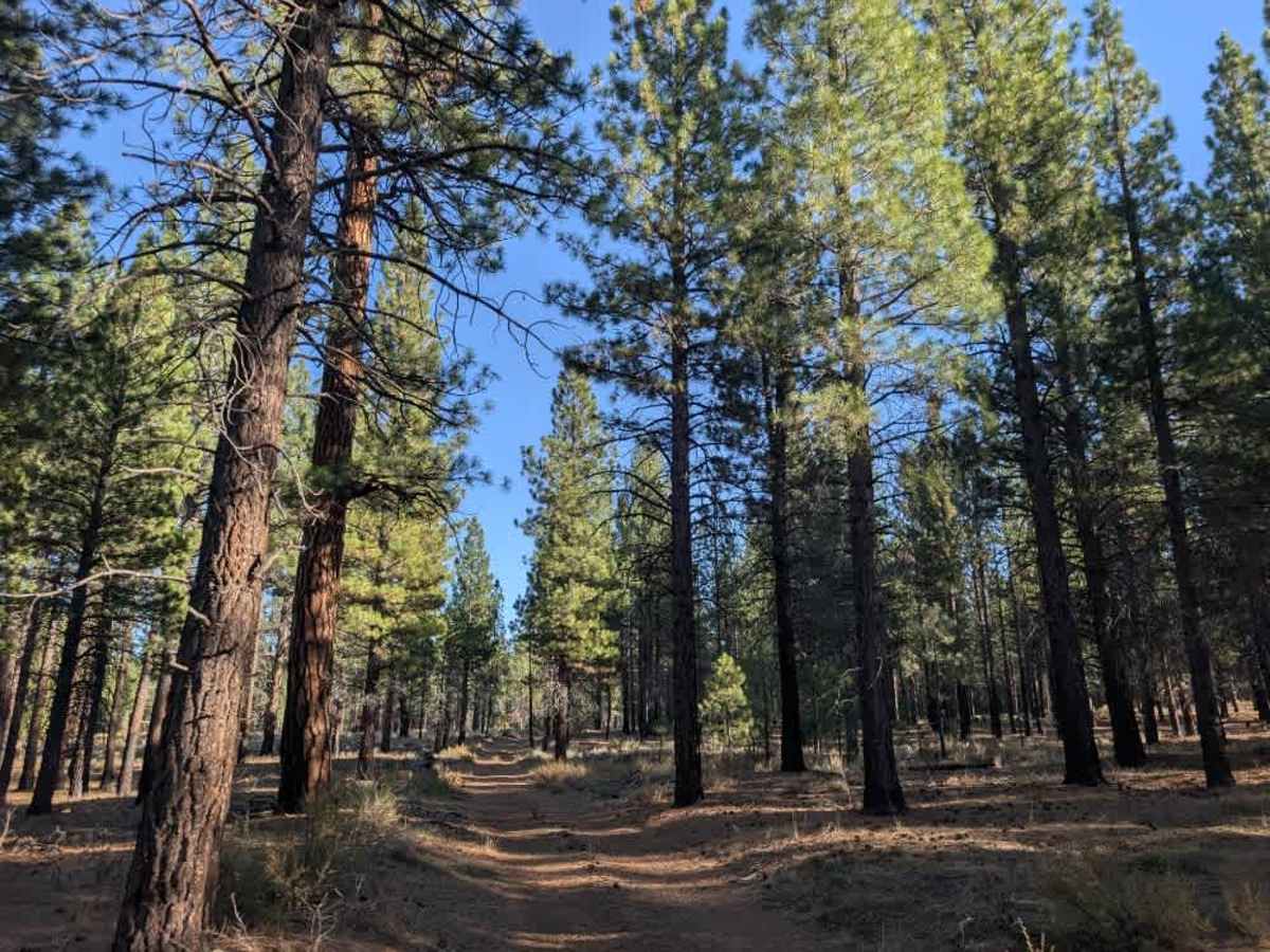
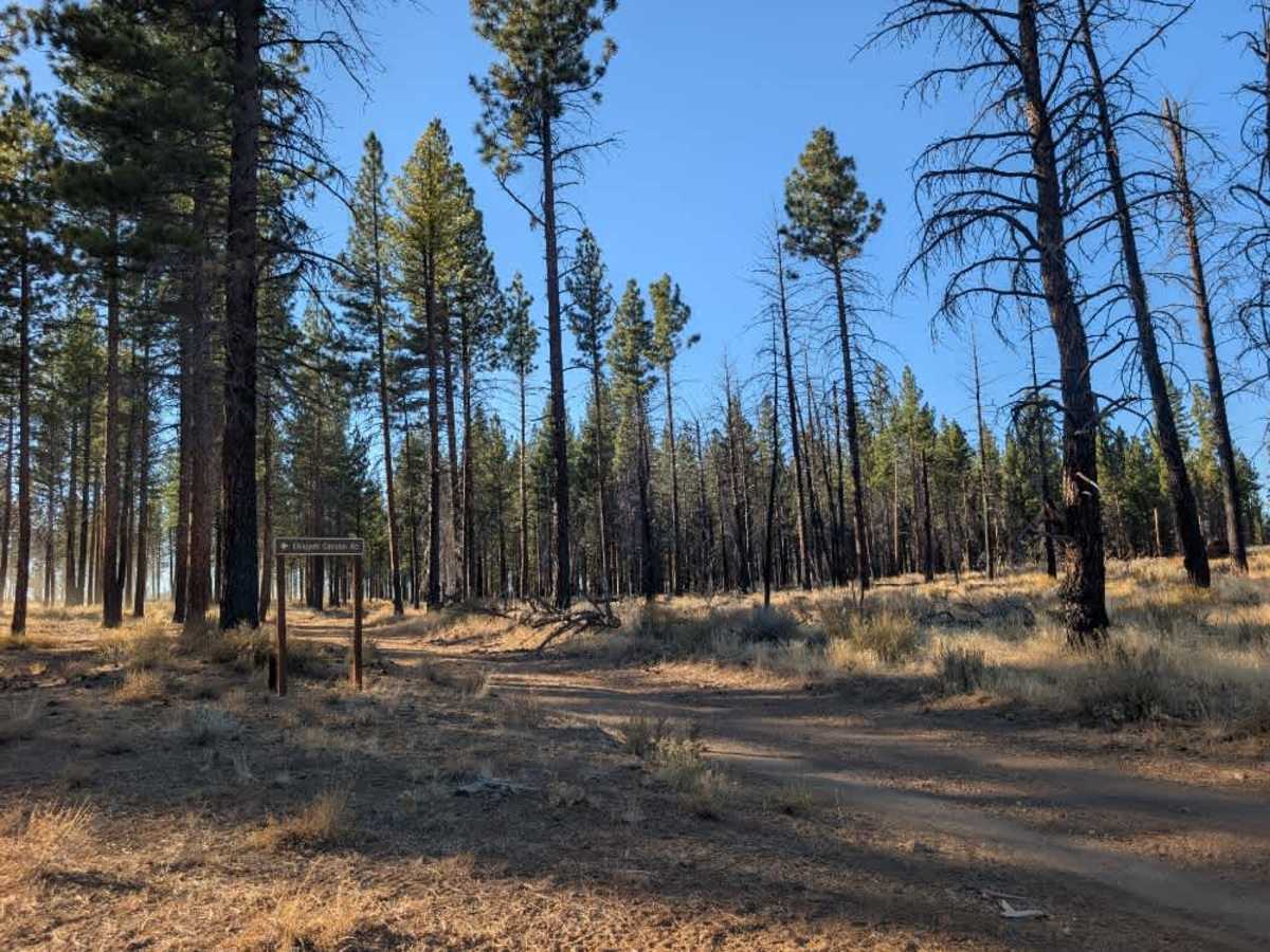
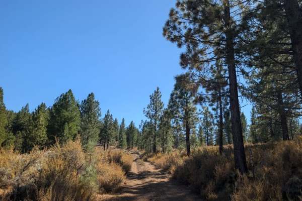
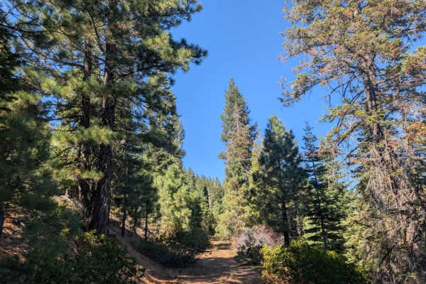
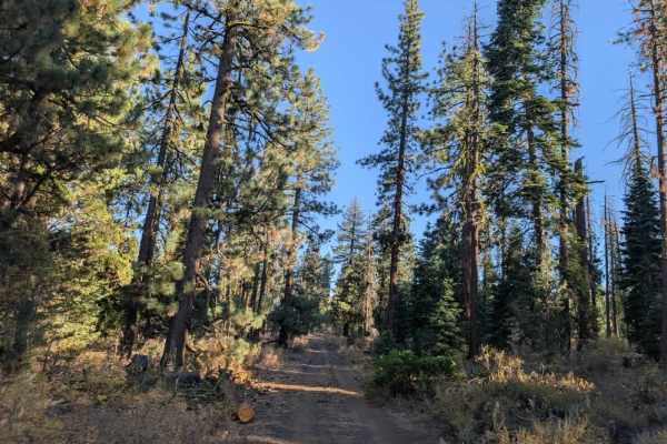
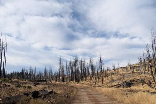
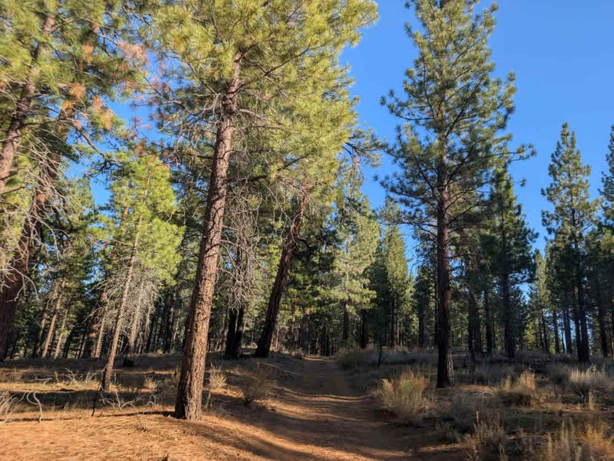
This short but exciting trail winds through a sandy, forested area and offers a little more of a challenge than its length might suggest. Along the way, you’ll encounter obstacles such as fallen trees and rocks that may require careful maneuvering. Conditions can be a bit uneven, so take your time and watch your line through the tighter sections. Despite its challenges, it’s a fun little route that provides a useful shortcut between the surrounding trails. The trail eventually connects with the route near Ehluyeh Canyon, making it a handy option if you’re exploring the area and want to link up with other roads without backtracking. ATVs, UTVs, Side-by-Sides, and Dirt Bikes must always have a valid California ATV Operating Permit sticker.

Photos of FS 26N44

Difficulty

The sandy surface is mostly manageable, though scattered rocks and debris require attention.

Technical Rating

1

FS 26N44 Trail can be accessed by the following ride types:

  • Single Track
  • 50 Inch
  • 60 Inch
  • High Clearance
  • Full Width

FS 26N44 Map

The onX Offroad Difference

onX Offroad combines trail photos, descriptions, difficulty ratings, width restrictions, seasonality, and more in a user-friendly interface. Available on all devices, with offline access and full compatibility with CarPlay and Android Auto. Discover what you're missing today!

Open Trail Map