FS 25N05

Total Miles7.1
Technical Rating
1Easy
Best TimeSpring, Summer, Fall
Trail TypeFull-Width Road
Accessible By
Open Trail Map

Trail Overview

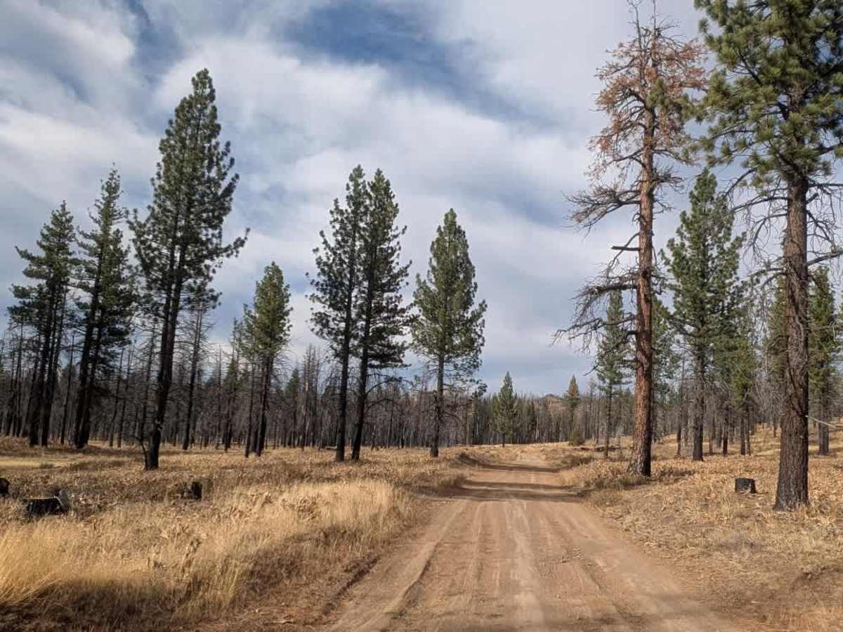
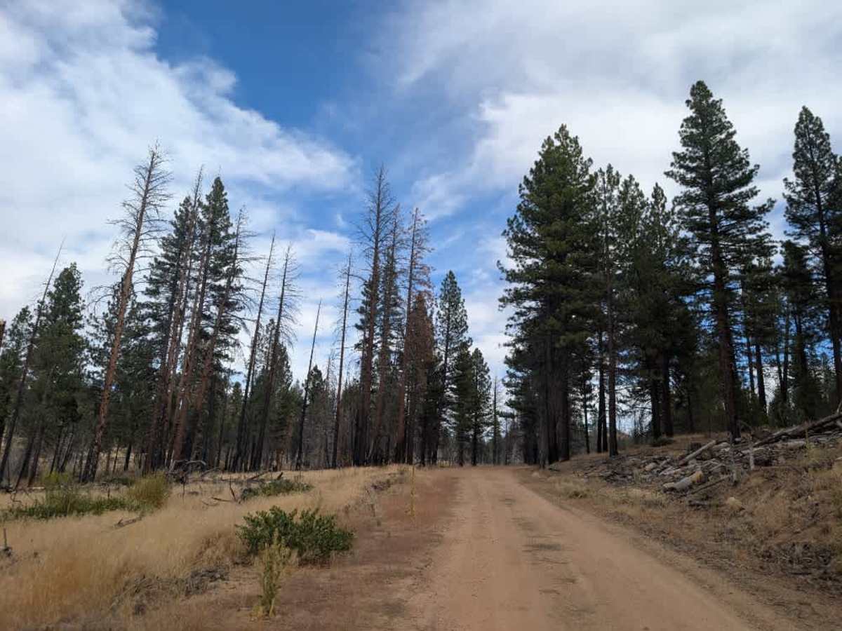
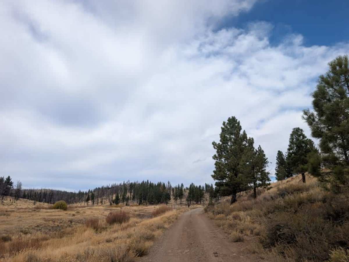
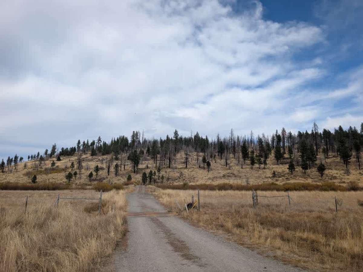
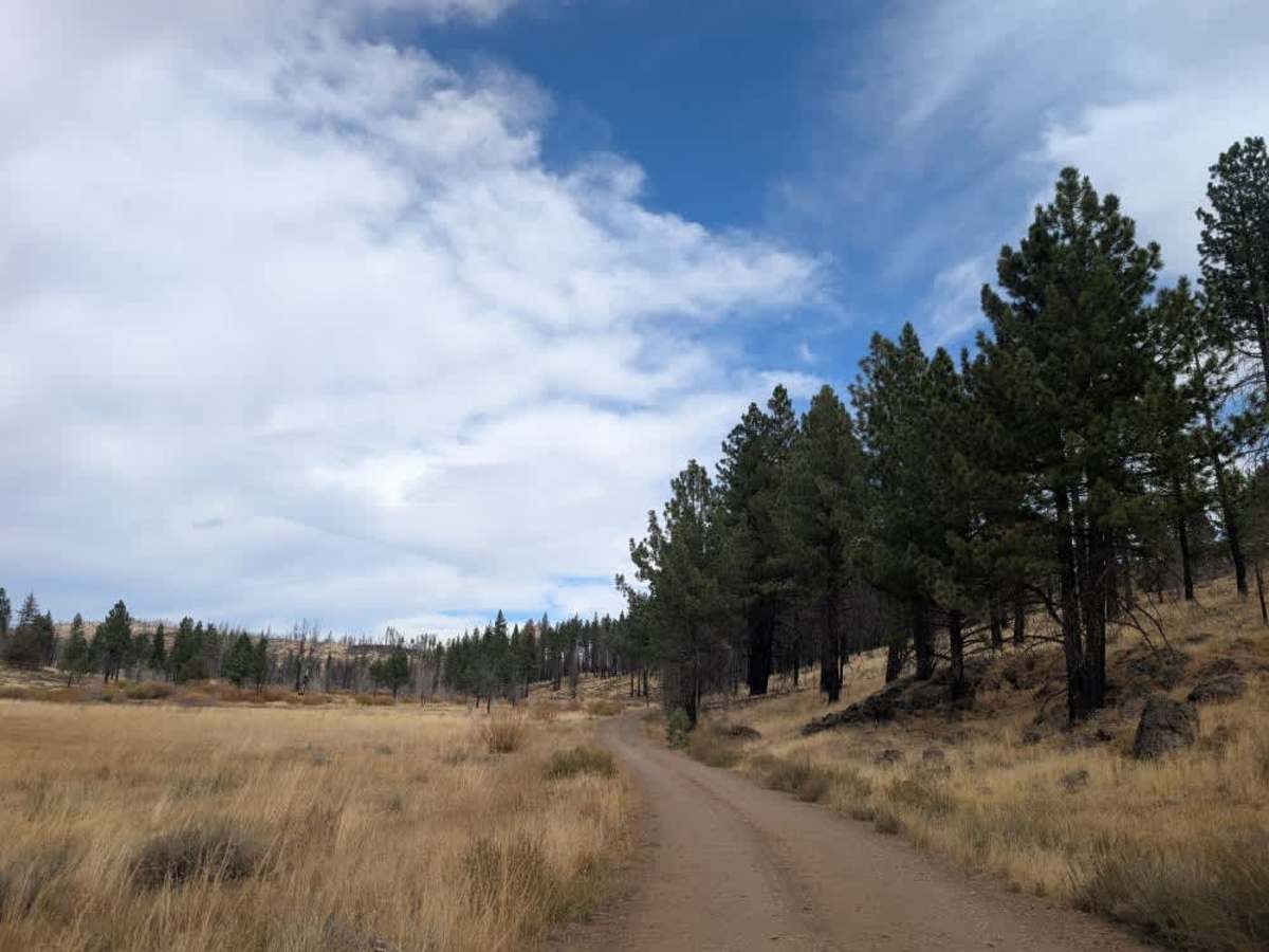
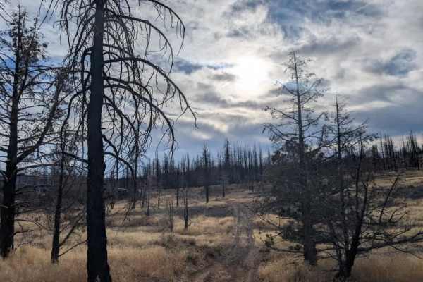
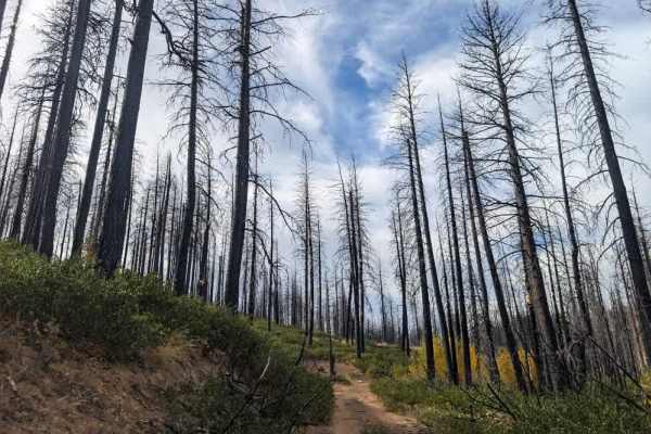
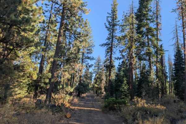
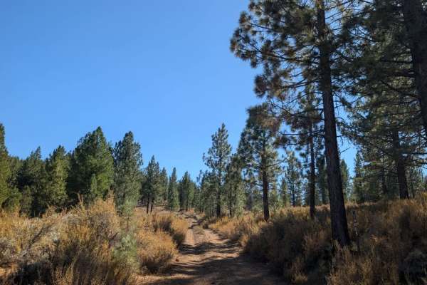
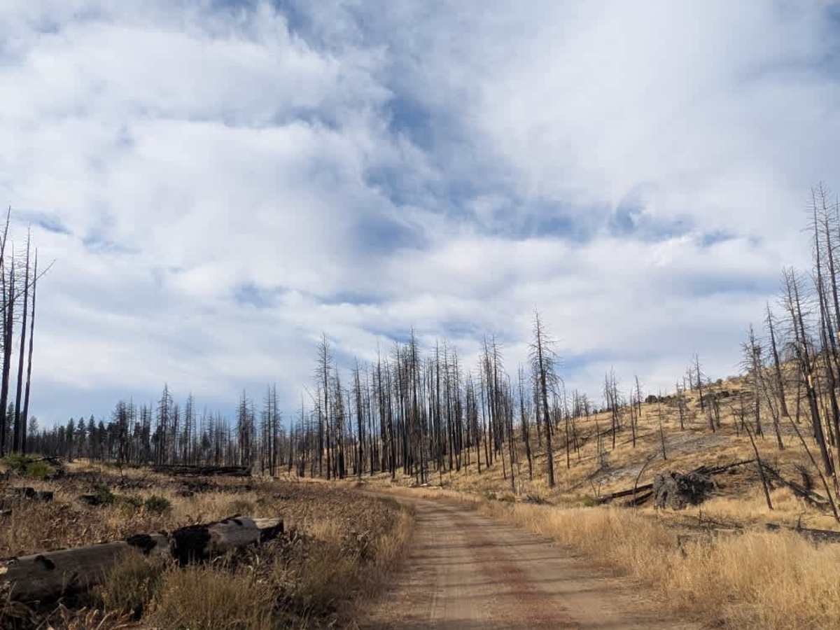
This long, scenic trail crosses a varied landscape of open plains, dry and dusty terrain, and areas heavily affected by the Dixie Fire. The road is maintained and has been repaired since the fire, although some sections remain rough and uneven. Expect plenty of loose volcanic rock, sandy stretches, and drainage ditches where water has cut across the road. You may also find fallen trees and other debris along the route. Conditions change as you travel, with some sections feeling relatively open and easygoing before becoming rockier and more challenging. Keep an eye out for unexpected holes, bumps, and uneven patches, especially where the surface might tempt you to pick up speed. Take it steady and watch your line through the rougher areas. Toward the end of the route, you’ll see signs of new growth emerging among the fire-damaged landscape. ATVs, UTVs, Side-by-Sides, and Dirt Bikes must always have a valid California ATV Operating Permit sticker.

Photos of FS 25N05

Difficulty

The trail varies in difficulty, with manageable stretches interrupted by loose volcanic rock, sandy sections, drainage ditches, and uneven terrain that require careful driving.

Technical Rating

1

FS 25N05 Trail can be accessed by the following ride types:

  • Single Track
  • 50 Inch
  • 60 Inch
  • High Clearance
  • Full Width

FS 25N05 Map

The onX Offroad Difference

onX Offroad combines trail photos, descriptions, difficulty ratings, width restrictions, seasonality, and more in a user-friendly interface. Available on all devices, with offline access and full compatibility with CarPlay and Android Auto. Discover what you're missing today!

Open Trail Map