FS 25N64

Total Miles0.8
Technical Rating
1Easy
Best TimeSpring, Summer, Fall
Trail TypeFull-Width Road
Accessible By
Open Trail Map

Trail Overview

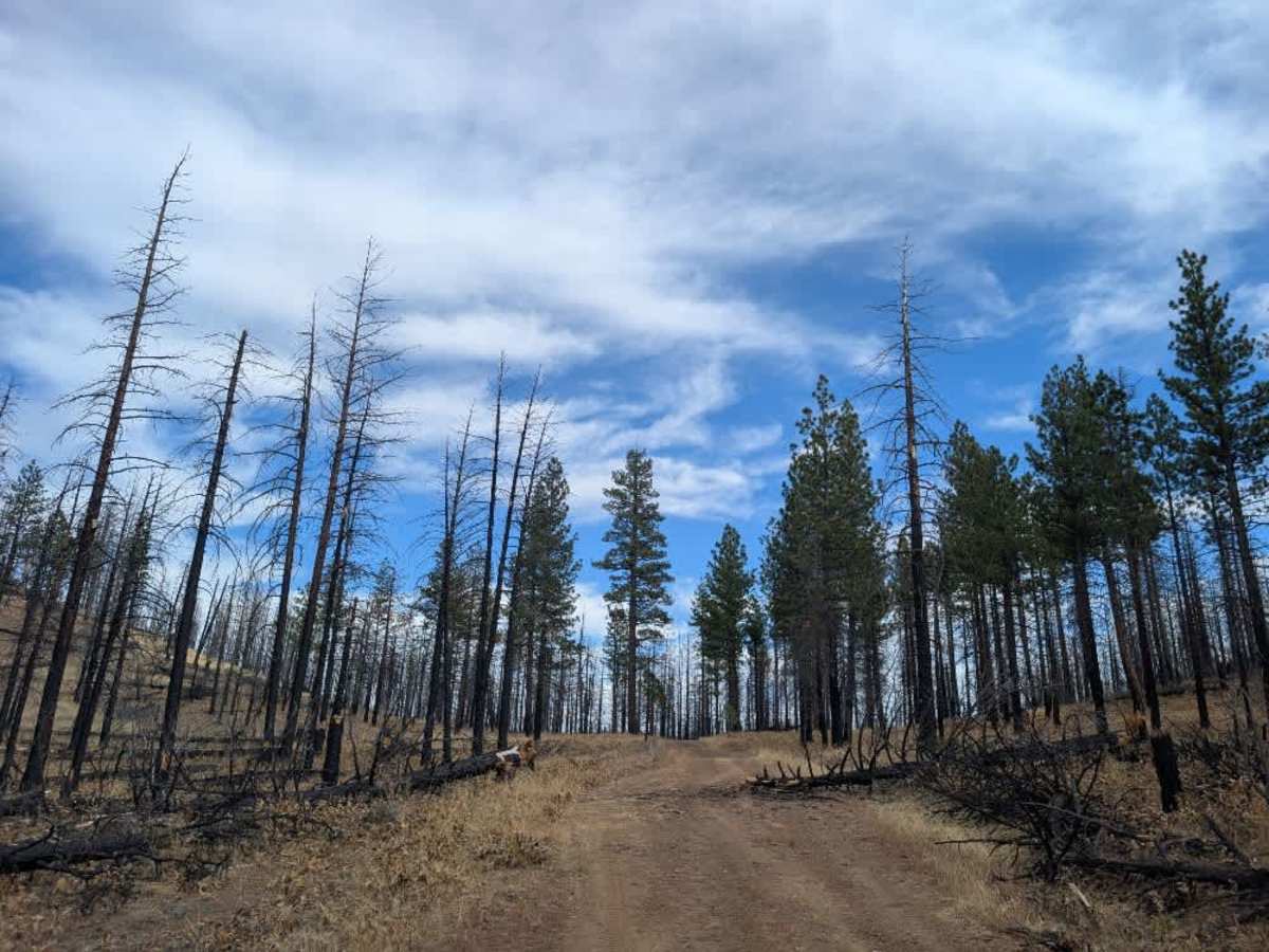
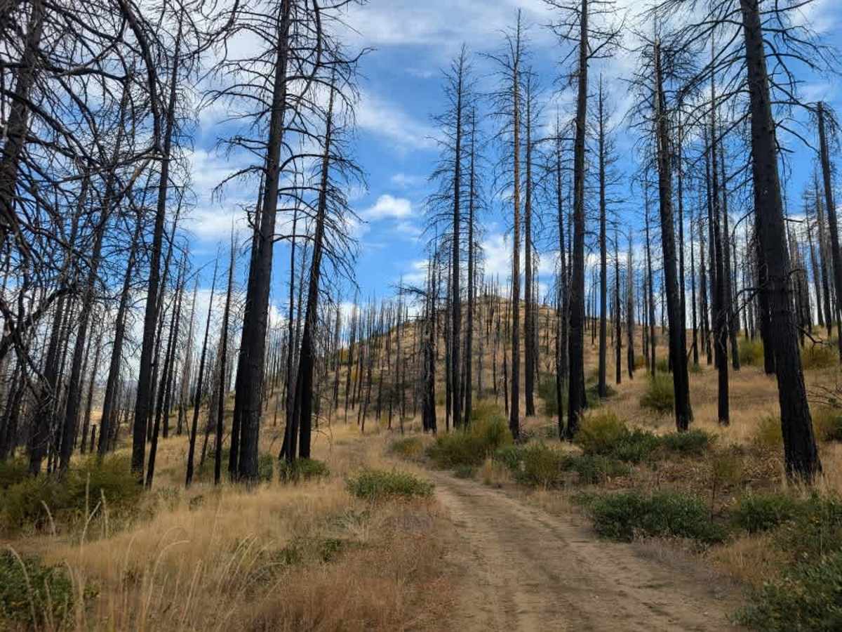
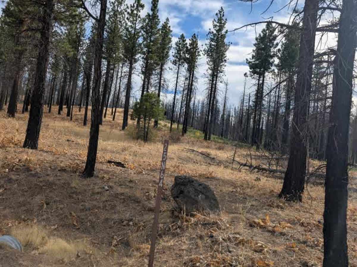
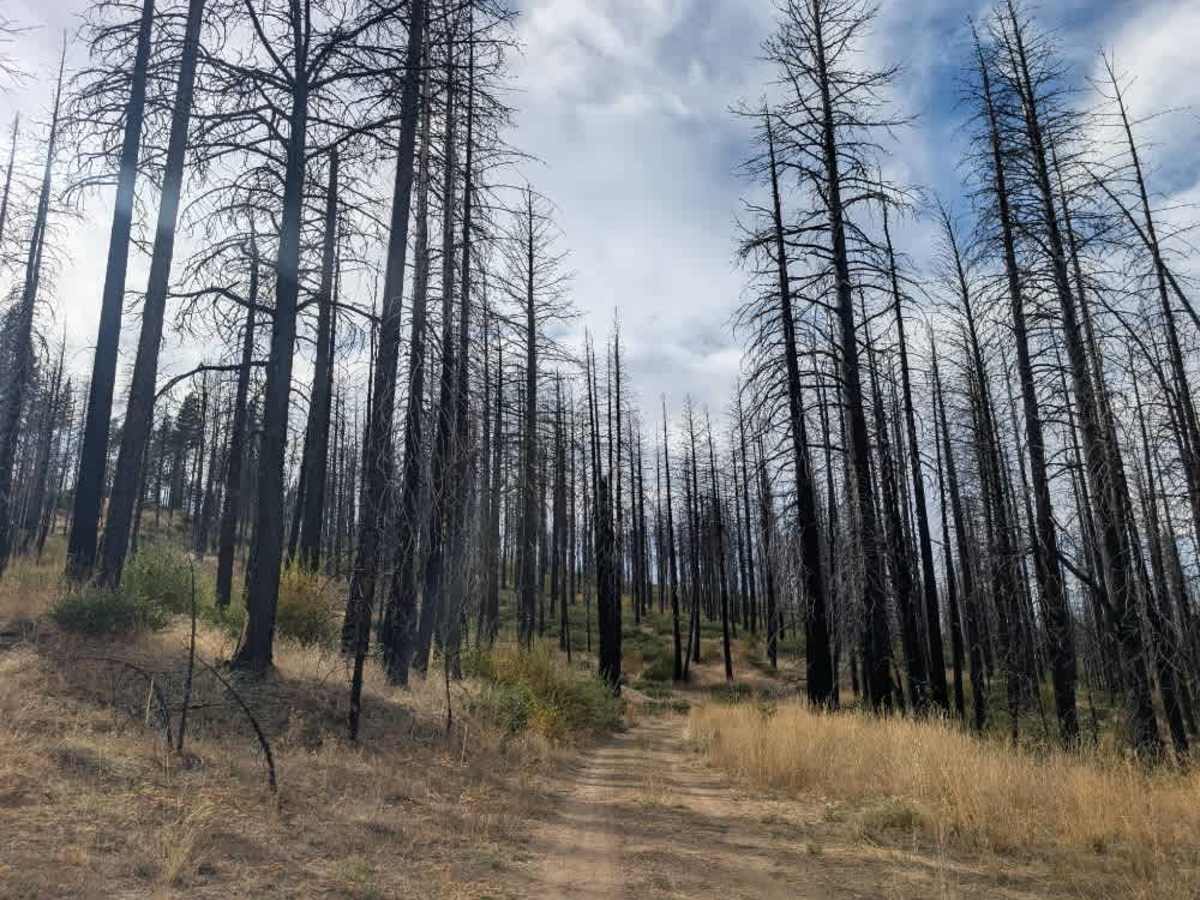
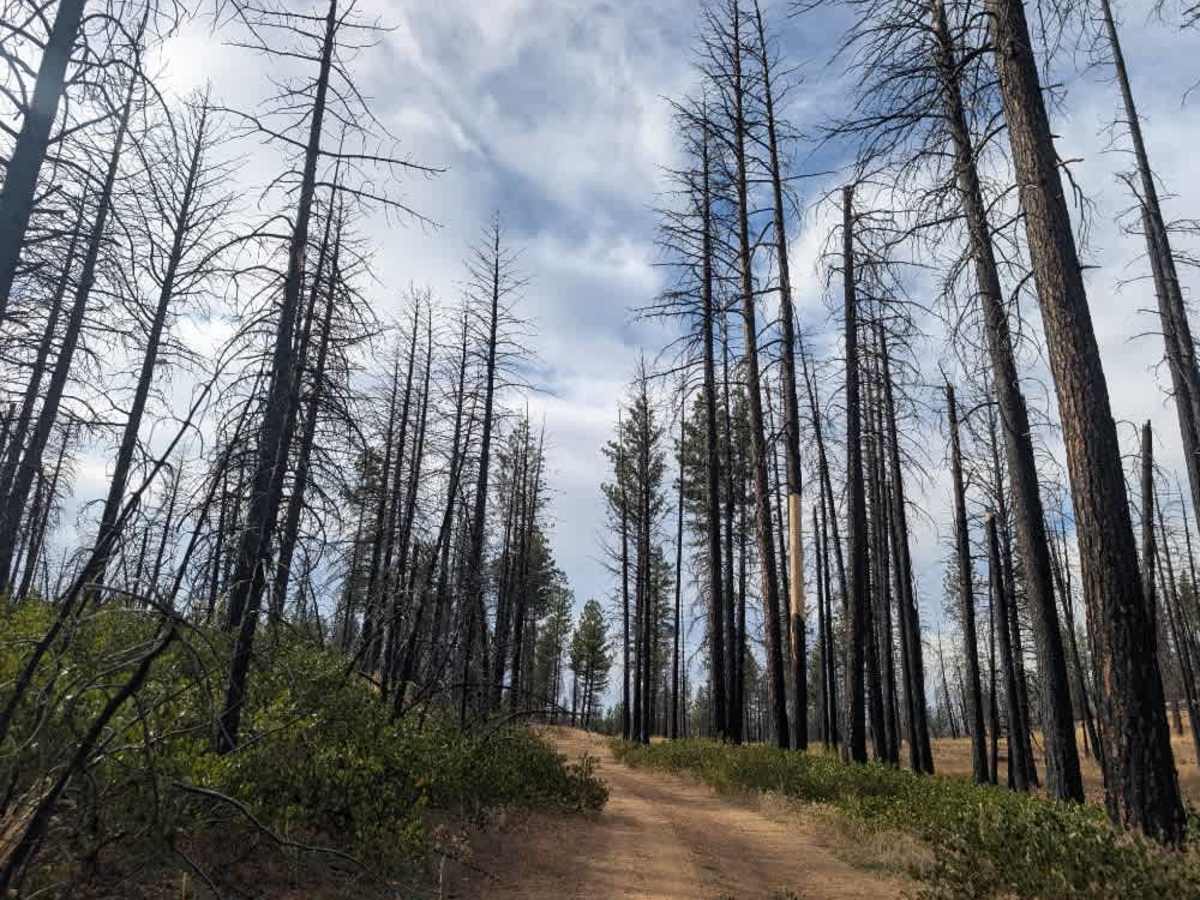
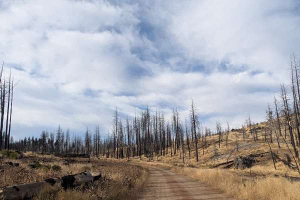
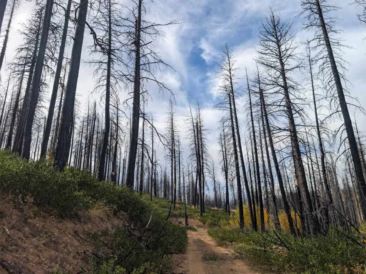
This sandy trail winds through an area heavily affected by the Dixie Fire, where burnt trees still line the route. Although much of the road has been cleared, some fallen trees and debris remain. Within the first mile, a large cluster of trees completely blocks the main route. A narrow track has formed to the left, but it doesn’t appear to be part of the established trail and looks just wide enough for a motorbike to squeeze through. Larger vehicles should not attempt to bypass the blockage. Despite the fire damage, the trail has its own beauty. The gaps between the burnt trees open up views across the valley, while new growth is beginning to emerge across the landscape. It’s a reminder of how the area is recovering after the fire. ATVs, UTVs, Side-by-Sides, and Dirt Bikes must always have a valid California ATV Operating Permit sticker.

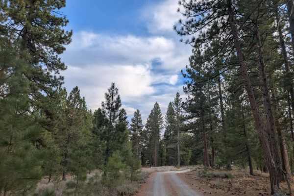
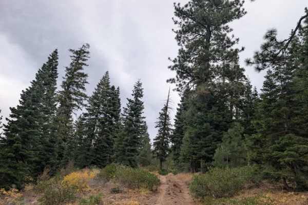
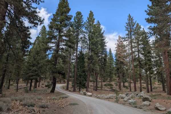
Photos of FS 25N64

Difficulty

The trail is relatively easy terrain-wise, but fallen trees make the established route impassable beyond the blockage.

Technical Rating

1

FS 25N64 Trail can be accessed by the following ride types:

  • Single Track
  • 50 Inch
  • 60 Inch
  • High Clearance
  • Full Width

FS 25N64 Map

The onX Offroad Difference

onX Offroad combines trail photos, descriptions, difficulty ratings, width restrictions, seasonality, and more in a user-friendly interface. Available on all devices, with offline access and full compatibility with CarPlay and Android Auto. Discover what you're missing today!

Open Trail Map