FS 22N73

Total Miles1.9
Technical Rating
3Easy
Best TimeSpring, Summer, Fall
Trail TypeFull-Width Road
Accessible By
Open Trail Map

Trail Overview

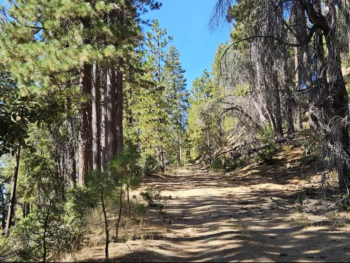
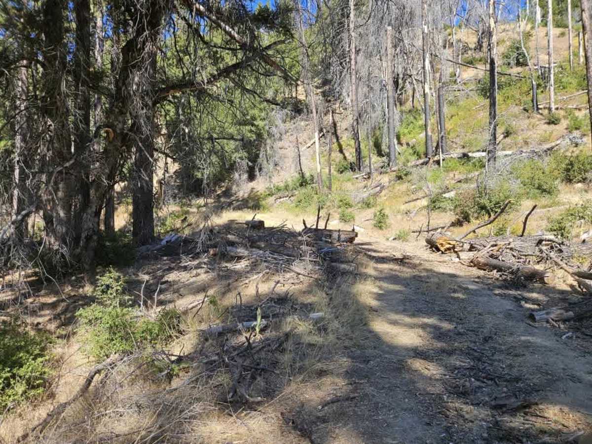
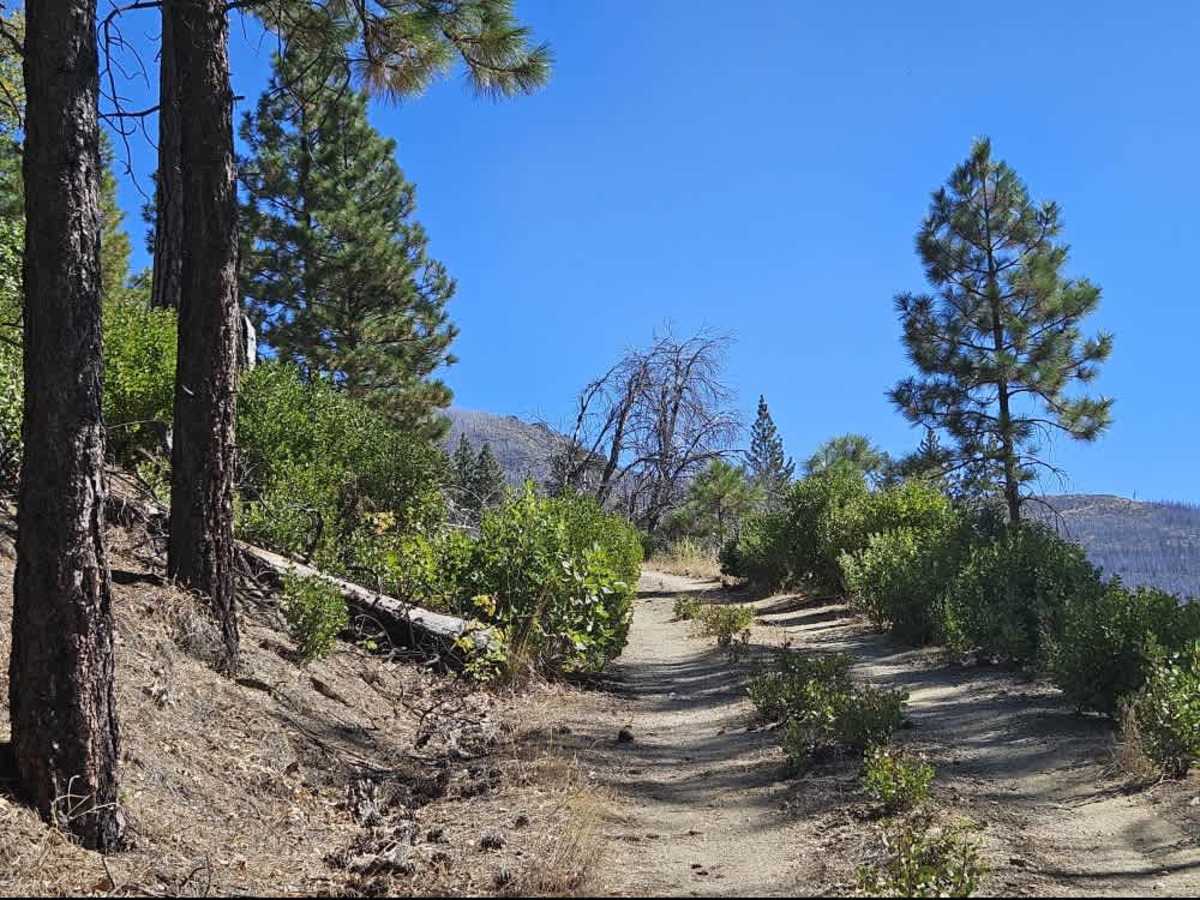
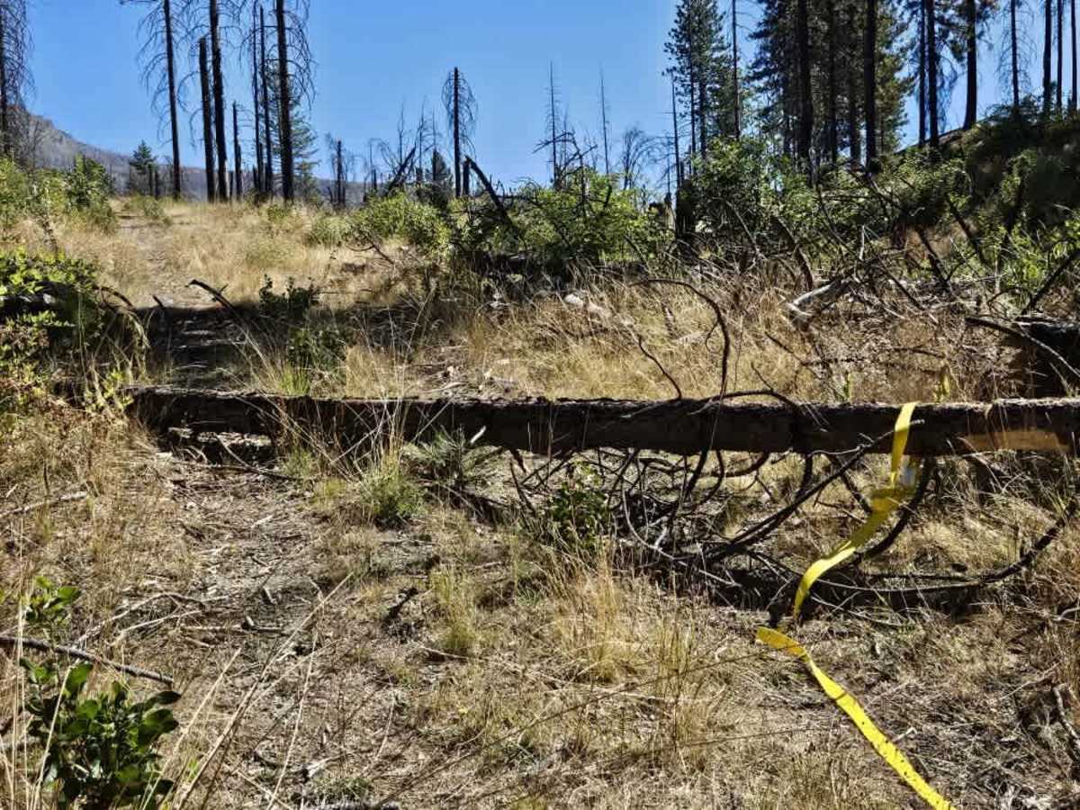
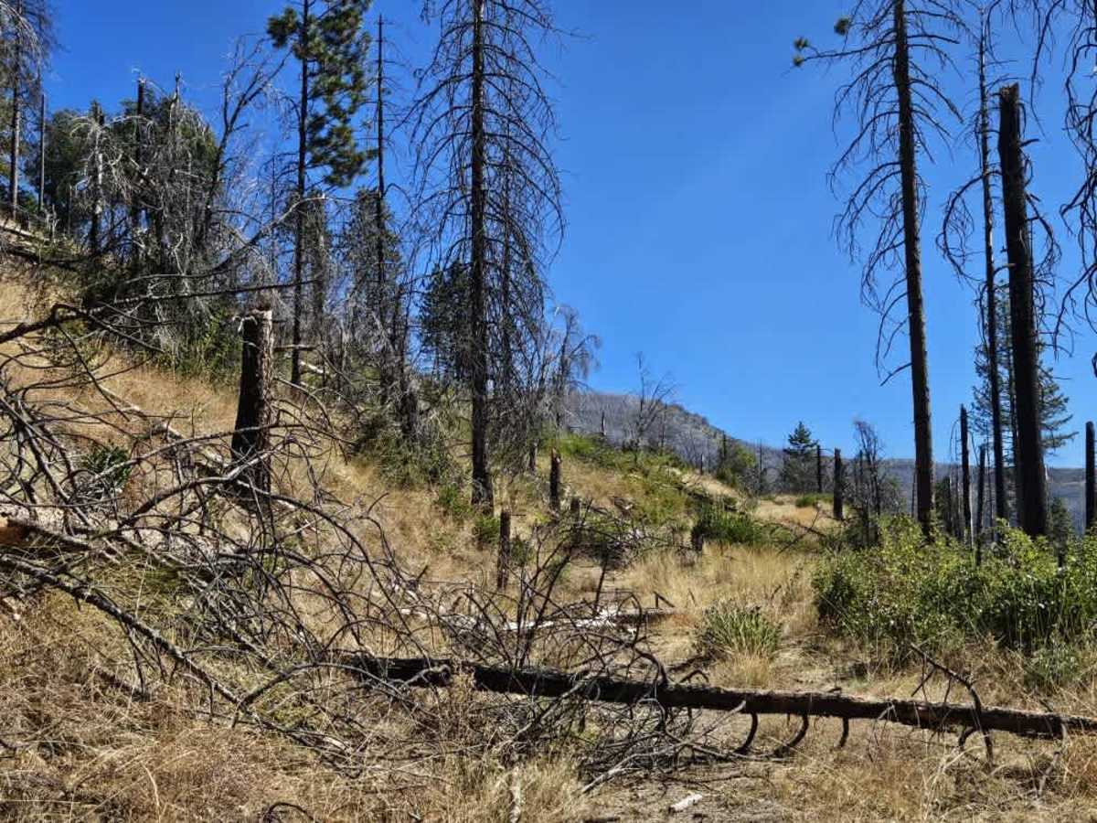
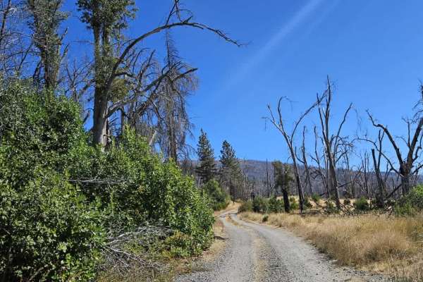
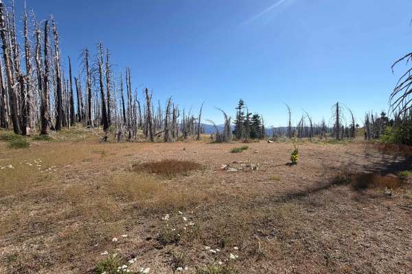
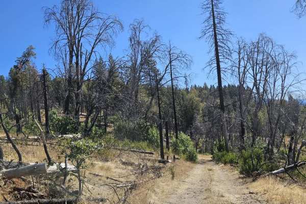
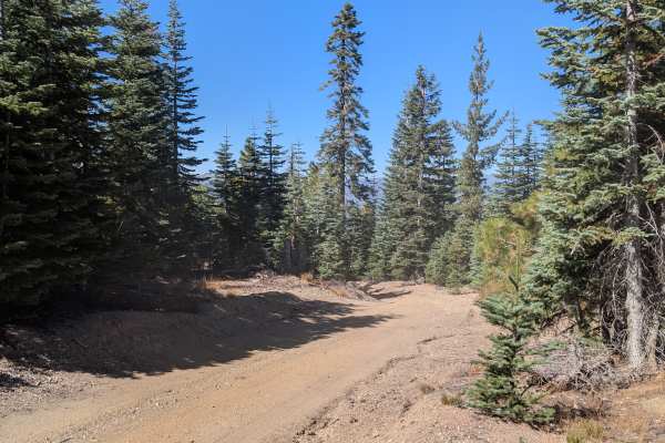
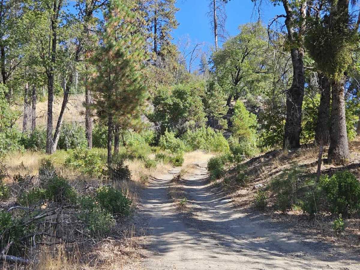
This narrow trail climbs up the side of the butte, winding through beautiful forest with several rocky sections and steep drop-offs. Fallen trees and branches line much of the route, making pinstriping likely, while large boulders scattered along the trail require careful driving to avoid hitting or driving over them. The road continues uphill to a relatively level area near the top that may be suitable for dispersed camping. However, the trail becomes increasingly overgrown farther along, and fallen trees eventually block the route, preventing further travel. This is the furthest accessible point, so be prepared to turn around before the obstruction. The area appears to see some use from hunters coming up from the camp, so please watch for local traffic. The trail is marked on the ground as 22N11B, though Forest Service documentation lists this trail as 22N73. ATVs, UTVs, Side-by-Sides, and Dirt Bikes must always have a valid California ATV Operating Permit sticker.

Photos of FS 22N73

Difficulty

The narrow uphill trail has steep drop-offs, large boulders, and fallen trees that require careful navigation.

Technical Rating

3

FS 22N73 Trail can be accessed by the following ride types:

  • Single Track
  • 50 Inch
  • 60 Inch
  • High Clearance
  • Full Width

FS 22N73 Map

The onX Offroad Difference

onX Offroad combines trail photos, descriptions, difficulty ratings, width restrictions, seasonality, and more in a user-friendly interface. Available on all devices, with offline access and full compatibility with CarPlay and Android Auto. Discover what you're missing today!

Open Trail Map