FS 22N11 South

Total Miles8.8
Technical Rating
1Easy
Best TimeSpring, Summer, Fall
Trail TypeFull-Width Road
Accessible By
Open Trail Map

Trail Overview

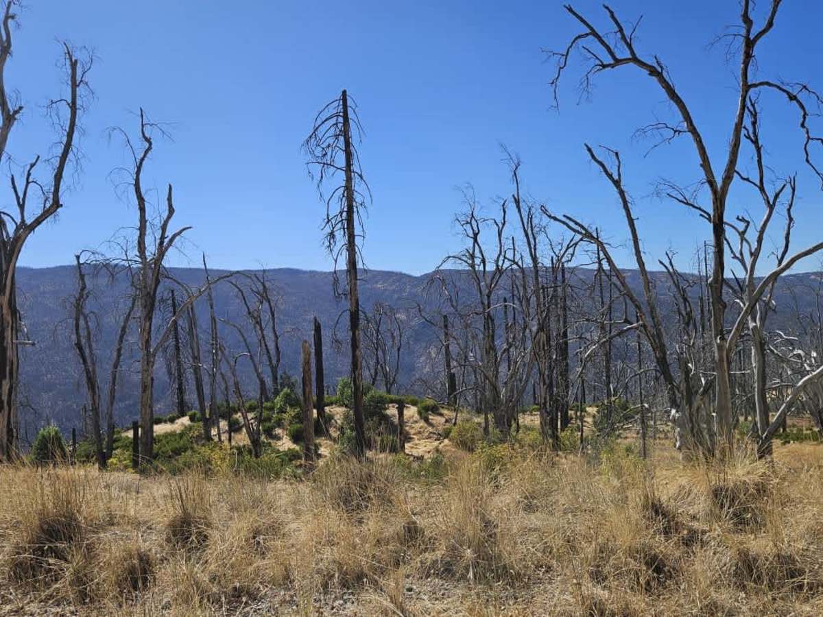
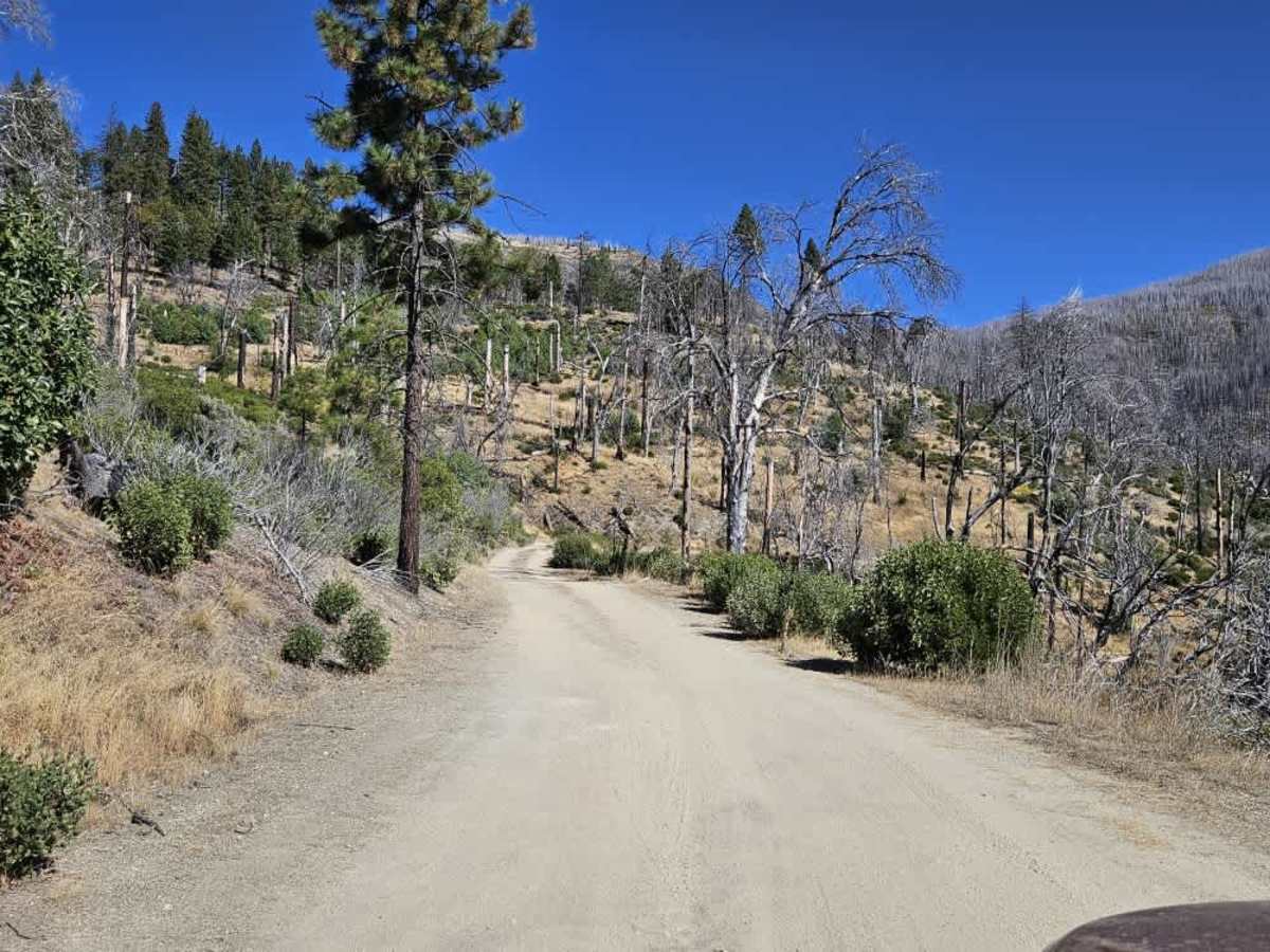
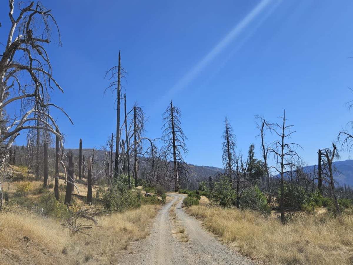
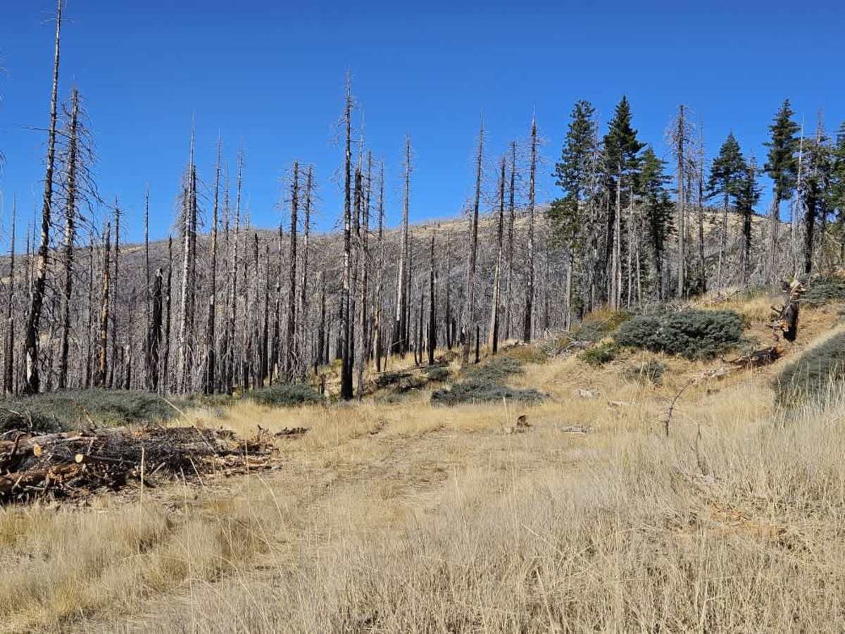
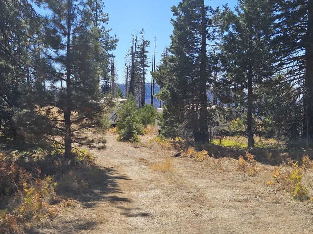
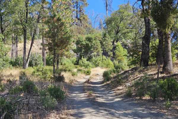
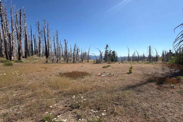
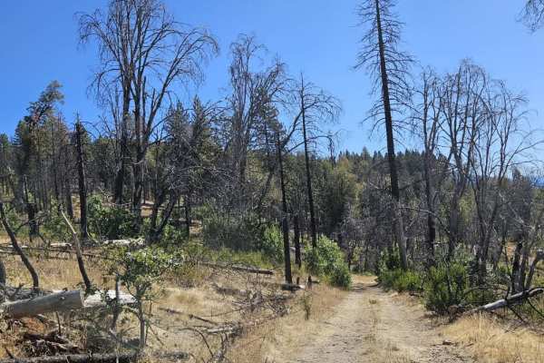
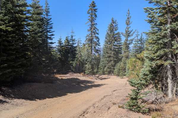
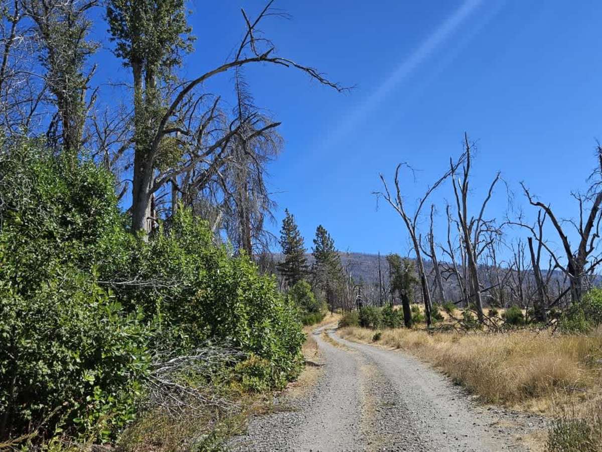
This trail is accessed from Forest Highway 7 and follows a very dusty, silty route through forest and open grassy plains before climbing Black Butte. The sandy road has numerous switchbacks, with several steep ascents and descents. It offers beautiful views, particularly near the top, along with a few potential dispersed camping areas. In late September 2026, logging was active, with heavy machinery moving logs and trees, large logging trucks using the road, and workers occupying several camping areas. Drive slowly, watch carefully for equipment and oncoming trucks, and avoid creating unnecessary dust around the workers and their camps. The thick silt makes this route exceptionally dusty, while sections near the summit, just before the descent, can become extremely muddy and potentially hazardous in wet weather. ATVs, UTVs, Side-by-Sides, and Dirt Bikes must always have a valid California ATV Operating Permit sticker.

Photos of FS 22N11 South

Difficulty

The sandy road has several steep climbs and descents, with heavy dust and muddy conditions possible near the top.

Technical Rating

1

FS 22N11 South Trail can be accessed by the following ride types:

  • Single Track
  • 50 Inch
  • 60 Inch
  • High Clearance
  • Full Width

FS 22N11 South Map

The onX Offroad Difference

onX Offroad combines trail photos, descriptions, difficulty ratings, width restrictions, seasonality, and more in a user-friendly interface. Available on all devices, with offline access and full compatibility with CarPlay and Android Auto. Discover what you're missing today!

Open Trail Map