FS 22N22

Total Miles2.1
Technical Rating
3Easy
Best TimeSpring, Summer, Fall
Trail TypeFull-Width Road
Accessible By
Open Trail Map

Trail Overview

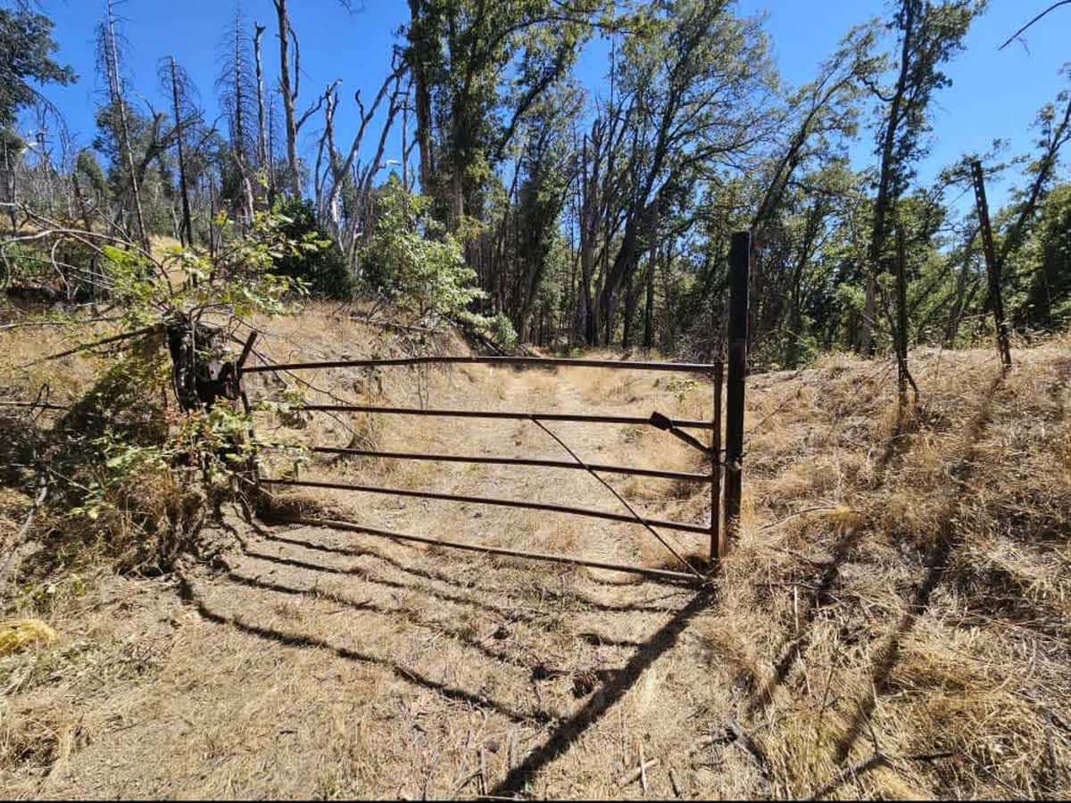
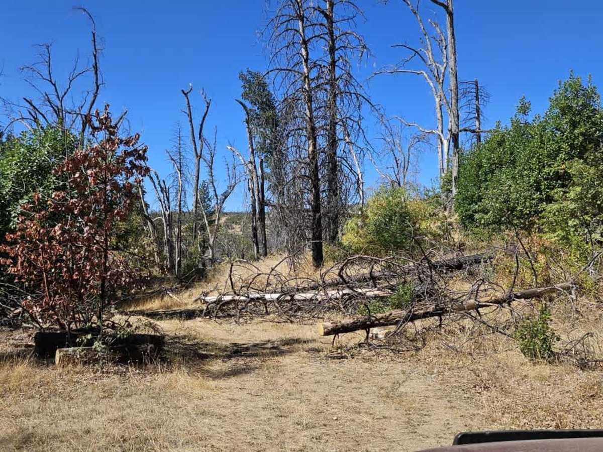
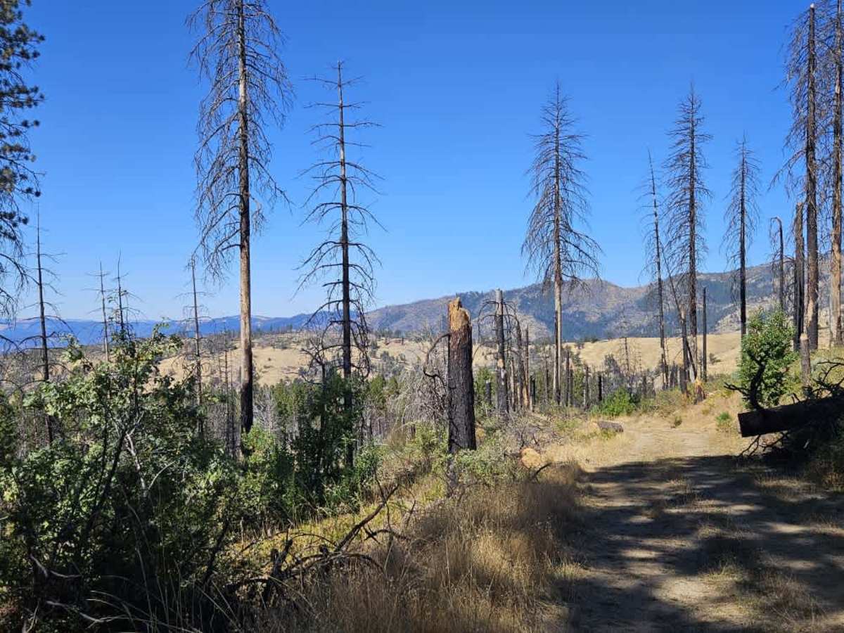
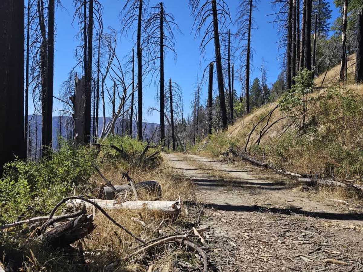
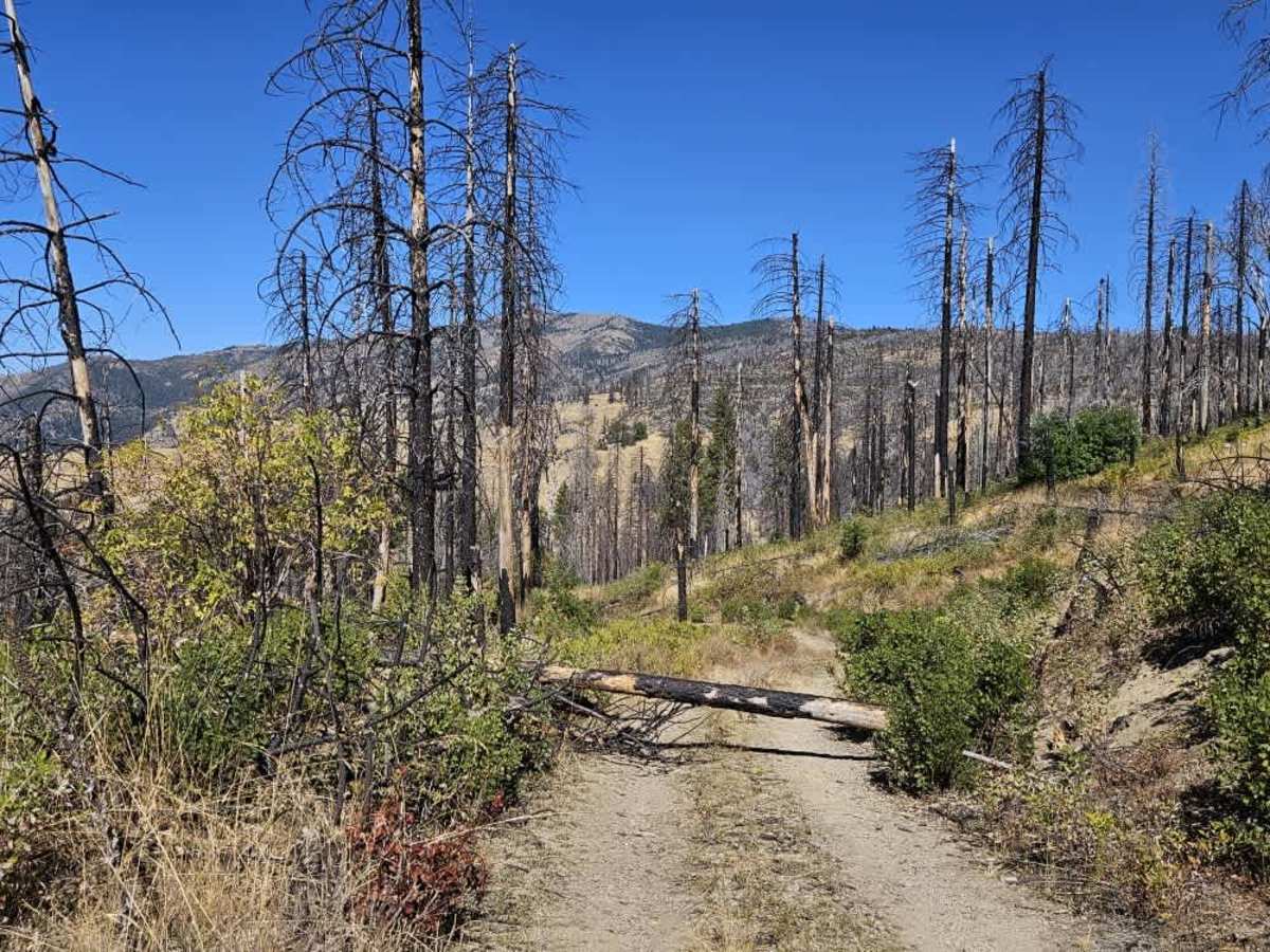
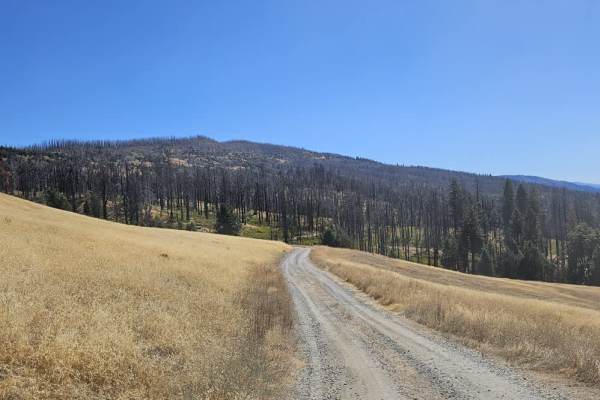
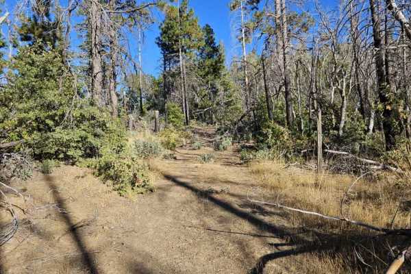
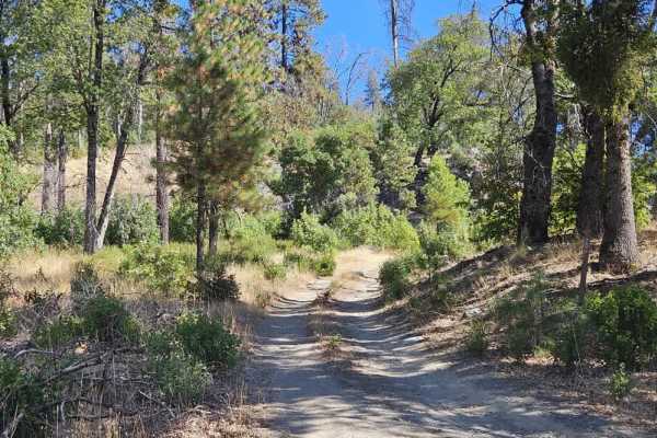
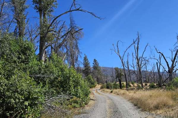
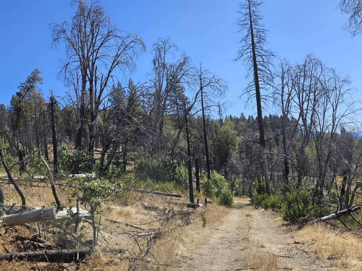
This narrow trail branches off near the main 7 route, farther along 22N11, and winds steeply downhill through grassy gravel terrain. Much of the fallen tree debris has been cleared, but the road remains tight, with overhanging branches and trees that may still obstruct the route; pinstriping and other vehicle damage are possible, especially where branches encroach on the road, so carrying a chainsaw or other suitable cutting equipment may help. The trail runs alongside private property, so respect boundaries and posted restrictions. Still, the area seems popular with hunters, and a small potential dispersed camping spot along the way could suit someone looking for a simple place to stop. The trail eventually ends at a fence and locked gate, with no way to continue beyond that point. A small, tight turnaround area near the gate makes maneuvering difficult due to fallen trees. ATVs, UTVs, Side-by-Sides, and Dirt Bikes must always have a valid California ATV Operating Permit sticker.

Photos of FS 22N22

Difficulty

The narrow, steep trail has overhanging branches, fallen trees, and a tight turnaround near the locked gate.

Technical Rating

3

FS 22N22 Trail can be accessed by the following ride types:

  • Single Track
  • 50 Inch
  • 60 Inch
  • High Clearance
  • Full Width

FS 22N22 Map

The onX Offroad Difference

onX Offroad combines trail photos, descriptions, difficulty ratings, width restrictions, seasonality, and more in a user-friendly interface. Available on all devices, with offline access and full compatibility with CarPlay and Android Auto. Discover what you're missing today!

Open Trail Map