Trail Overview
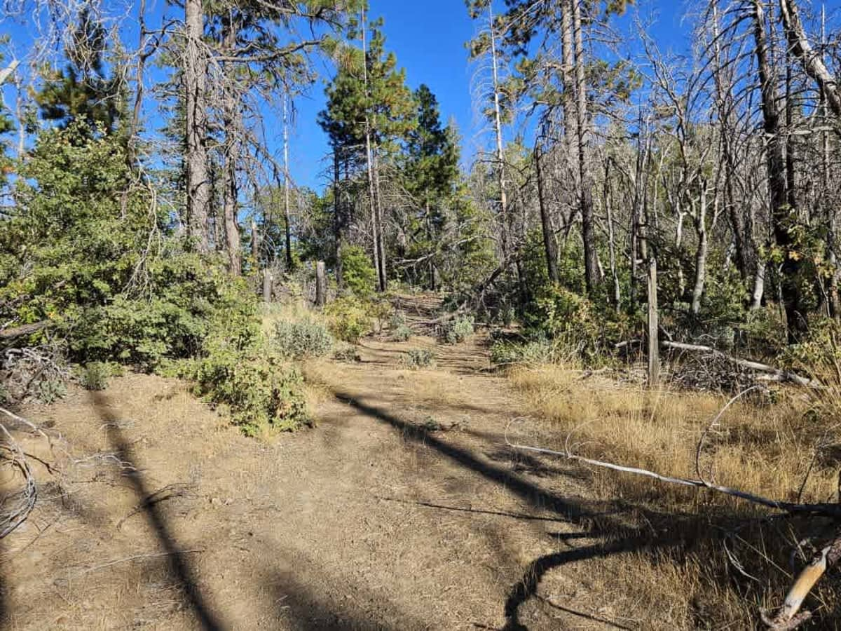
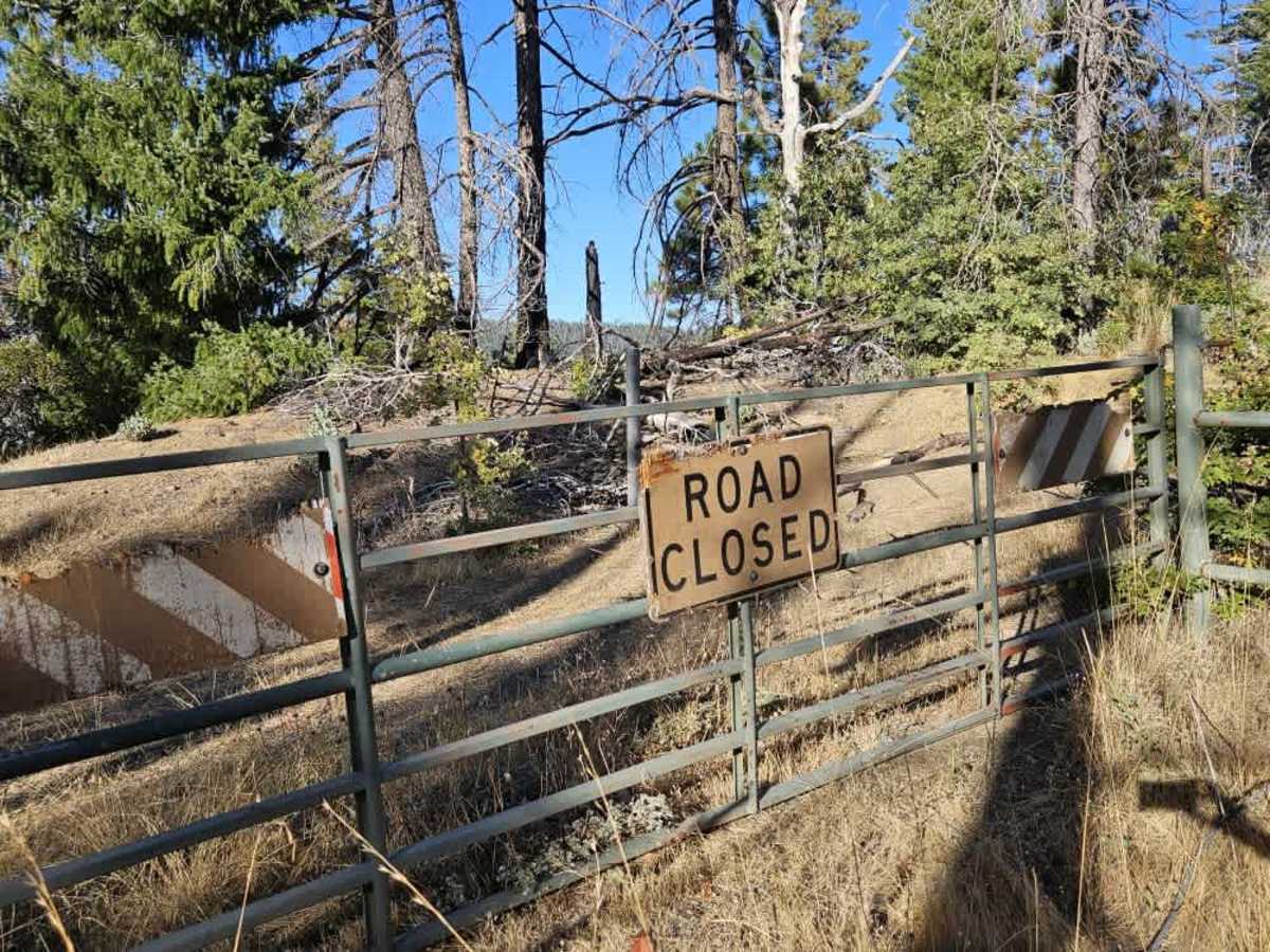
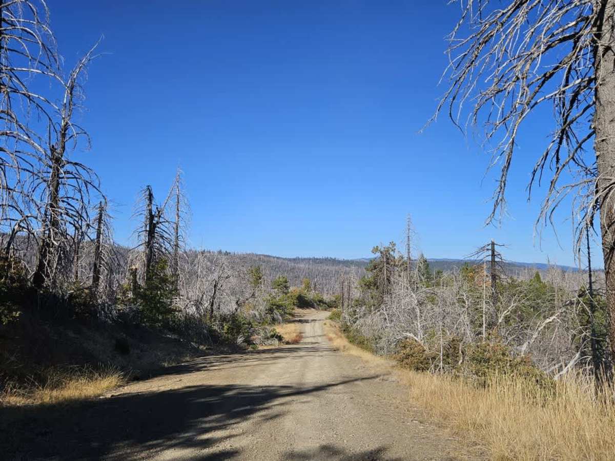
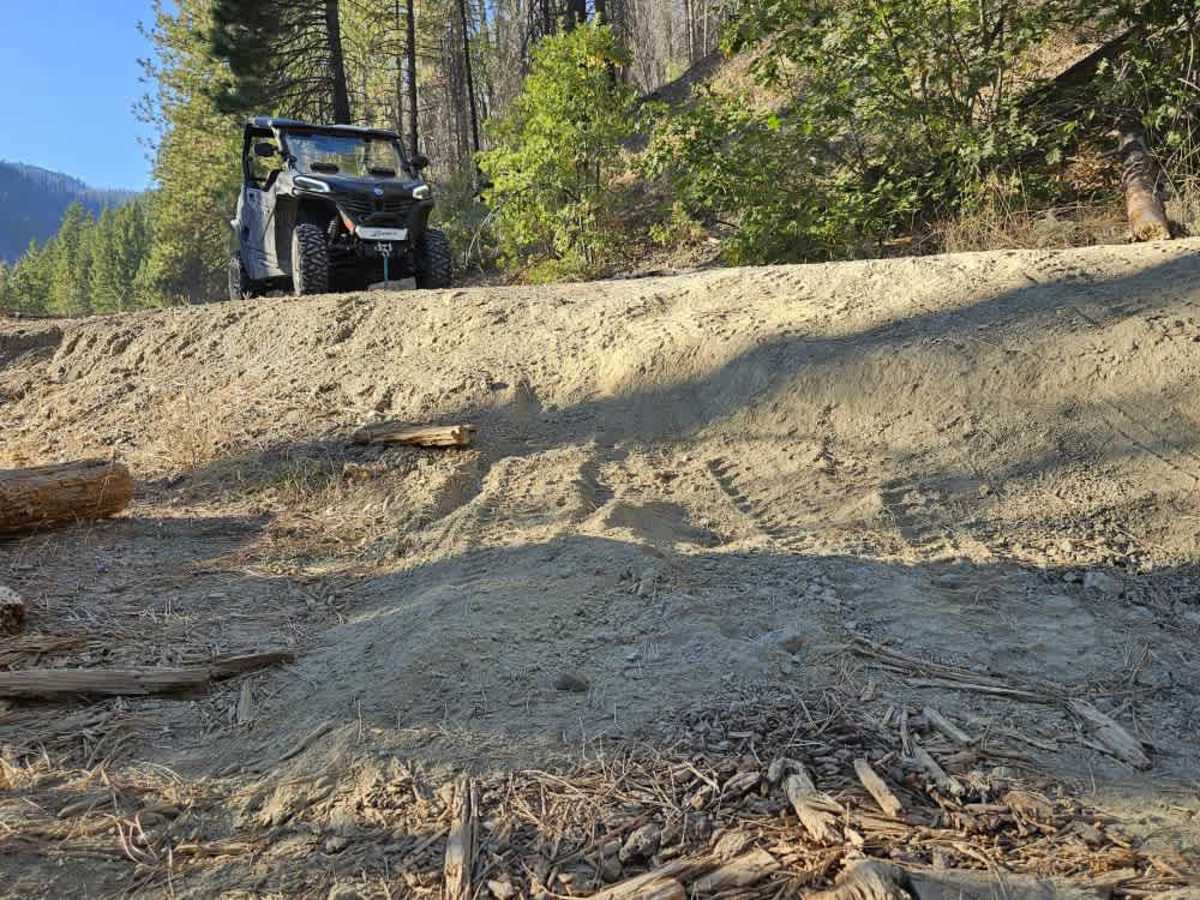
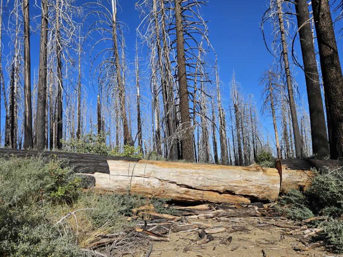
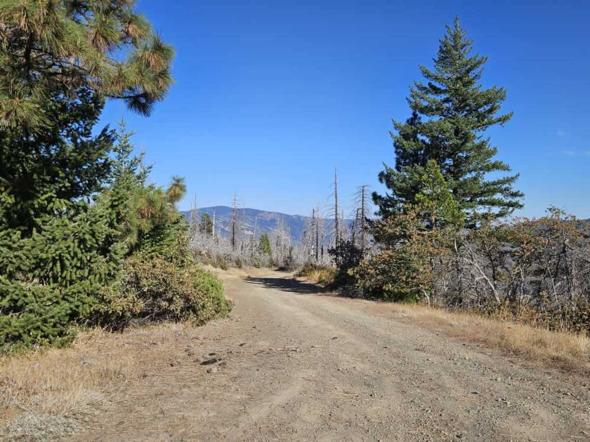
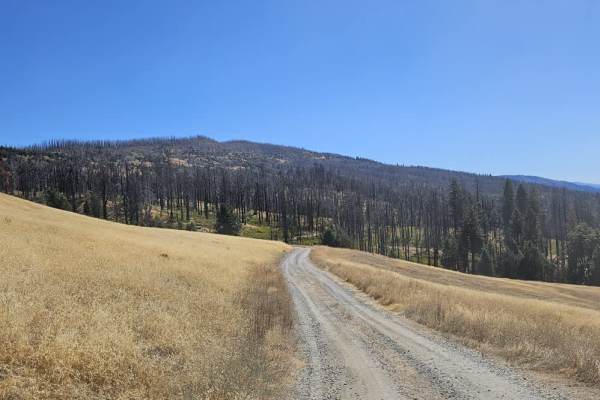
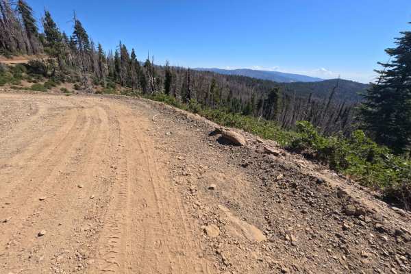
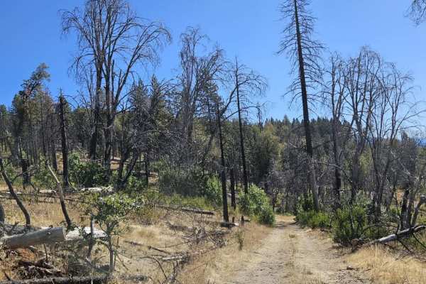
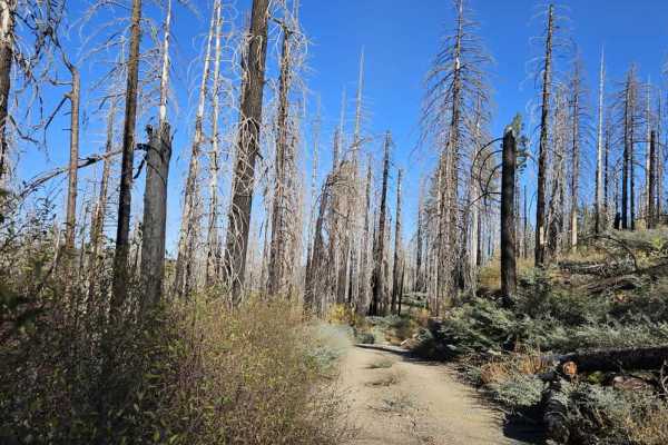
This trail begins as a wide, well-traveled gravel road before gradually narrowing and deteriorating farther into the forest. Most of the route has a smooth gray gravel surface, with a relatively steep ascent and occasional wider sections. However, water damage, deep washouts, loose rocks, and fallen trees have left much of the trail in poor condition. Near the end, the route passes through a burned forest where a large fallen tree completely blocks the trail. It appears someone tried to cut through the tree but stopped just short, and the trail beyond is overgrown. Although this was once a useful connecting route through the forest, it is now in very poor condition and can be dangerous to navigate. Travel is not recommended unless you have a capable four-wheel-drive vehicle, plenty of time, and are prepared to proceed slowly over significant obstacles. ATVs, UTVs, Side-by-Sides, and Dirt Bikes must always have a valid California ATV Operating Permit sticker.
Difficulty
The trail deteriorates significantly, with deep washouts, loose rocks, fallen trees, and a steep ascent requiring careful navigation.