Trail Overview
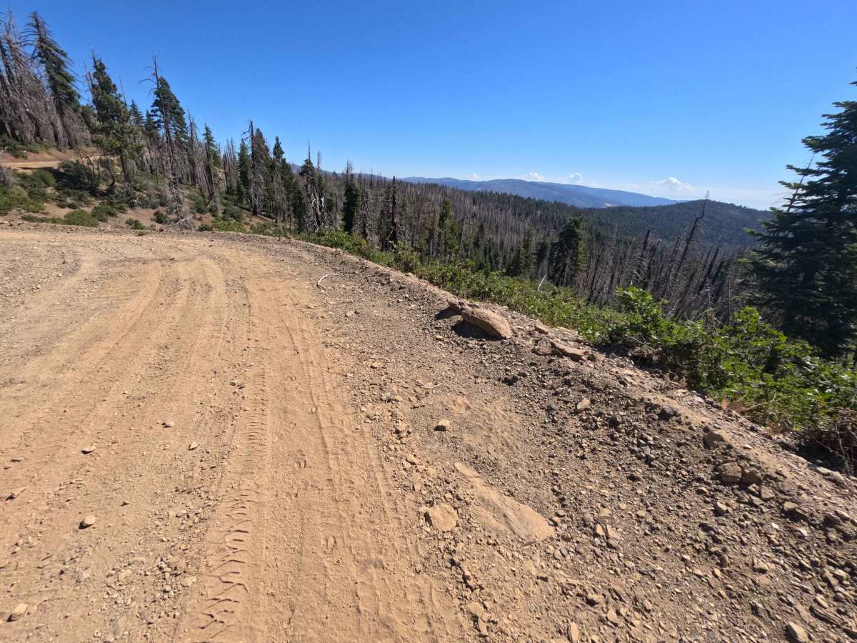
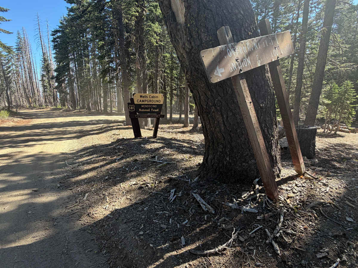
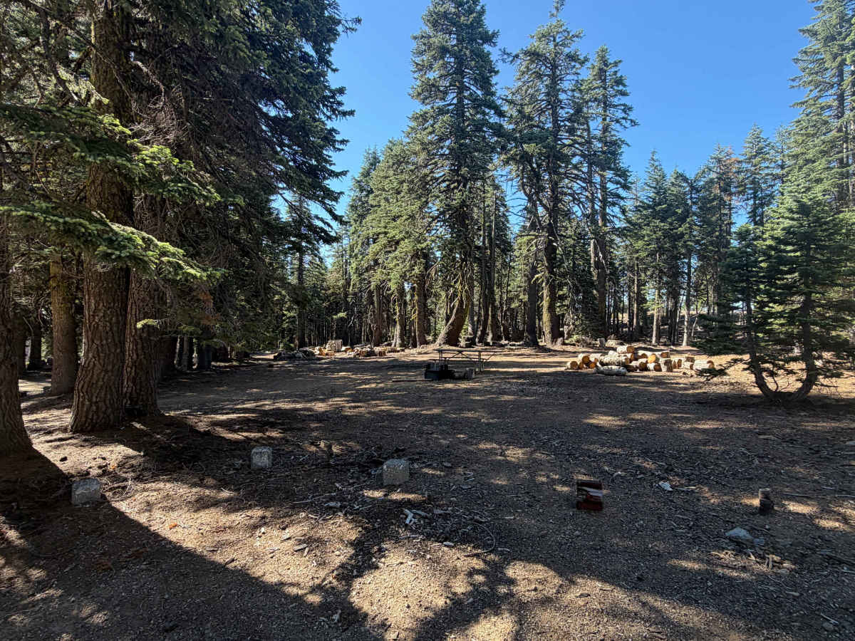
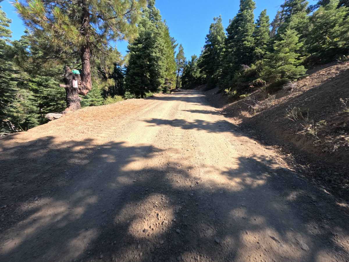
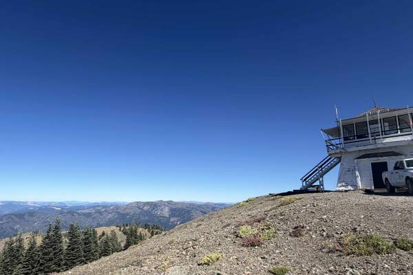
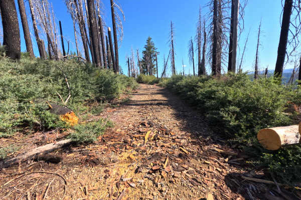
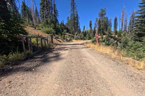
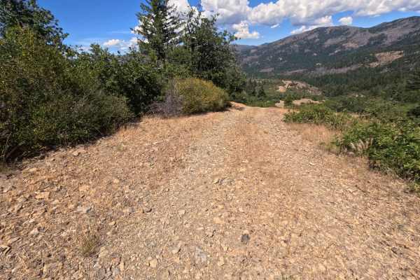
Ascending gently from Forest Road M4, Wells Cabin Road (FS 23N69) serves as a vital mountain link connecting through to Forest Road M2. Situated within Mendocino National Forest, the initial stretch meanders through a lush evergreen canopy before wrapping around high mountain slopes affected by the 2020 August Complex Fire, opening up sweeping, unhindered valley views. Featuring a smooth, well-traveled dirt and packed-gravel surface, this easy single-lane thoroughfare holds a Technical Rating of 1. Around the 1.0-mile mark, travelers reach Wells Cabin Campground, an expansive and shaded recreation area equipped with picnic tables, fire rings, grill grates, and a vault toilet, capable of accommodating over ten camping groups. This campground also marks the junction for the lookout spur leading toward the prominent Anthony Peak. Continuing past the campsite, the route contours along the eastern ridge before concluding at a T-intersection with the M2. Outdoor enthusiasts widely use this accessible roadway to secure prime mountain campsites, visit the fire lookout, or enjoy a picturesque pass through high-elevation forest terrain.
Difficulty
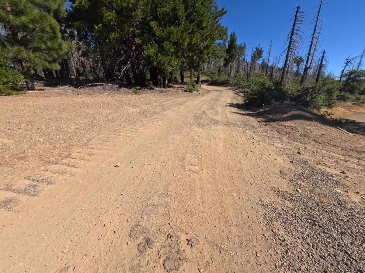
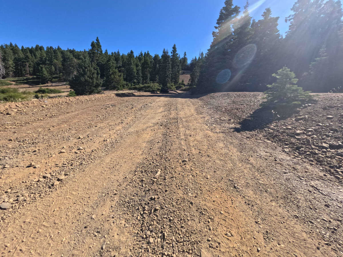
Earning a Technical Rating of 1, this forest route presents a smooth and forgiving mountain road suitable for standard passenger transit during dry weather. The steady, mild uphill climb consists of firmly packed soil and fine gravel, maintaining a consistent track free from deep ruts, exposed bedrock, or steep shelf sections. Occasional shallow mud puddles or loose surface pebbles are easily navigated without needing extra ground clearance or specialized maneuvering.

 Offroad