Trail Overview
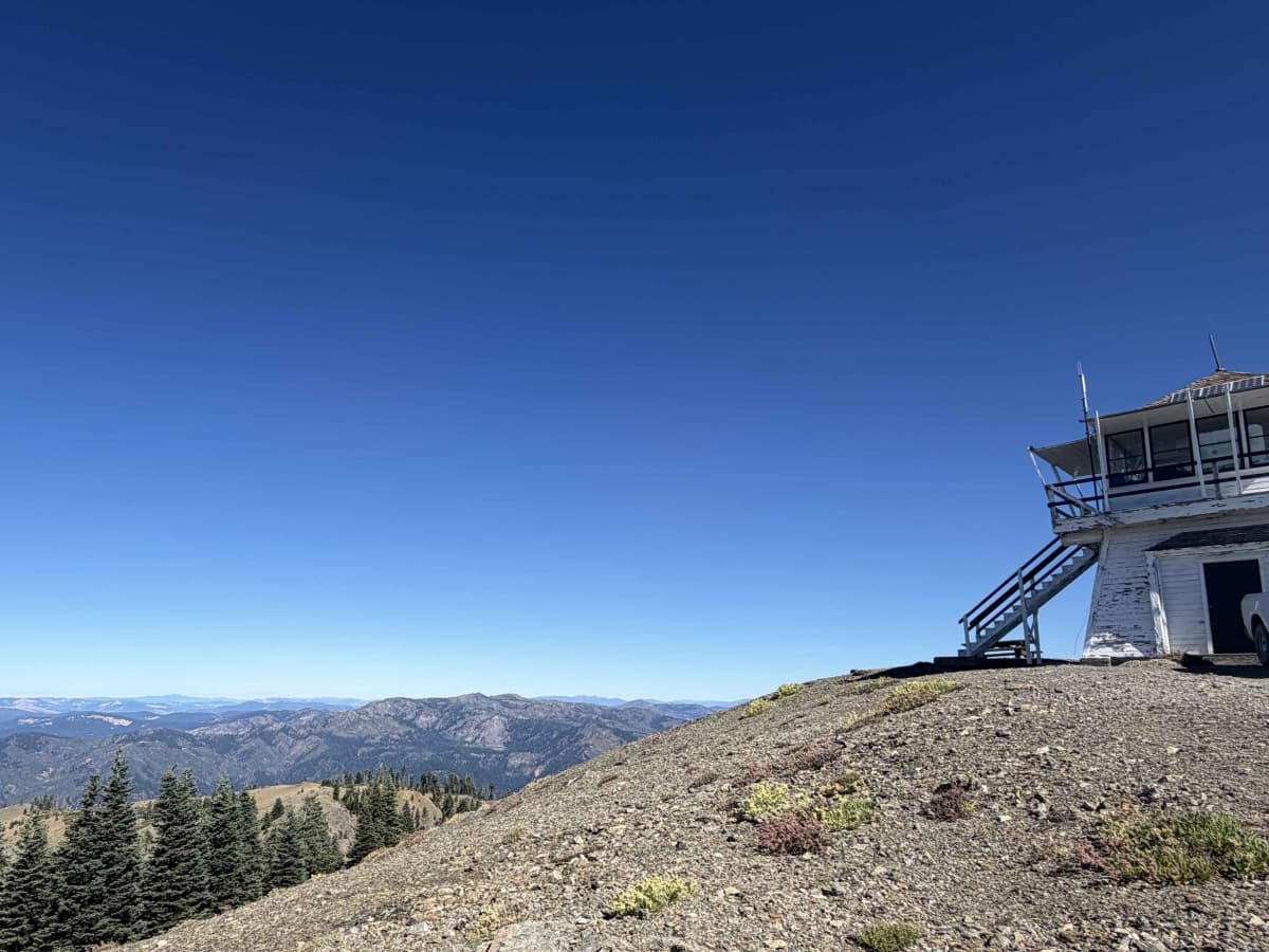
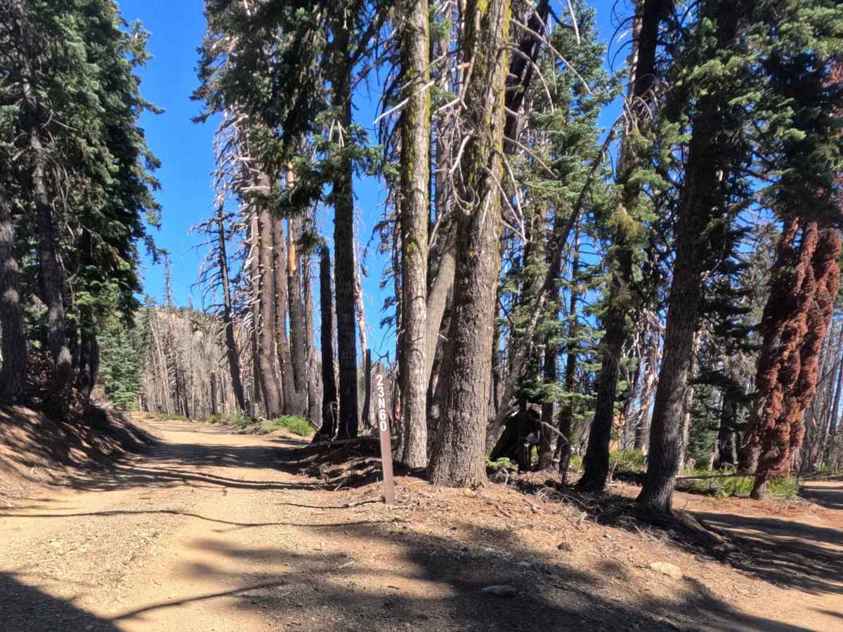
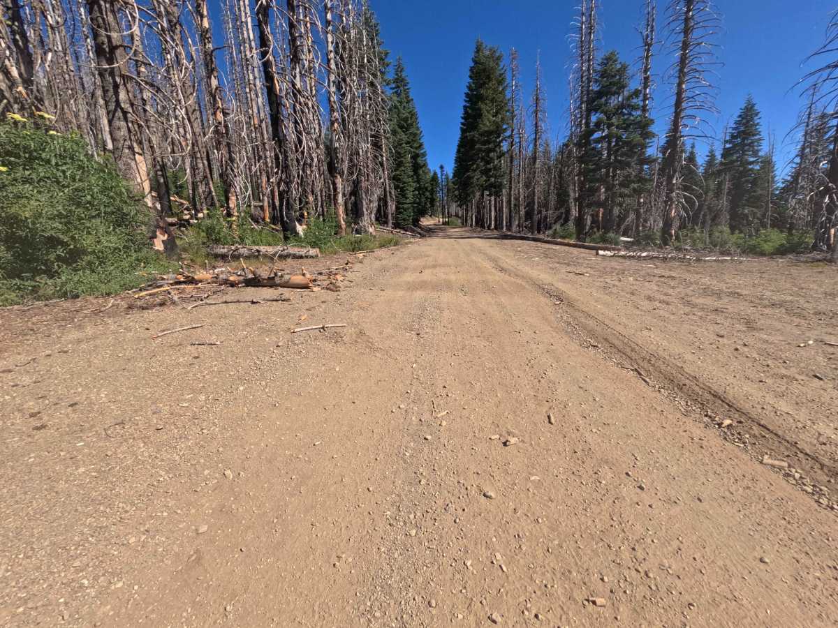
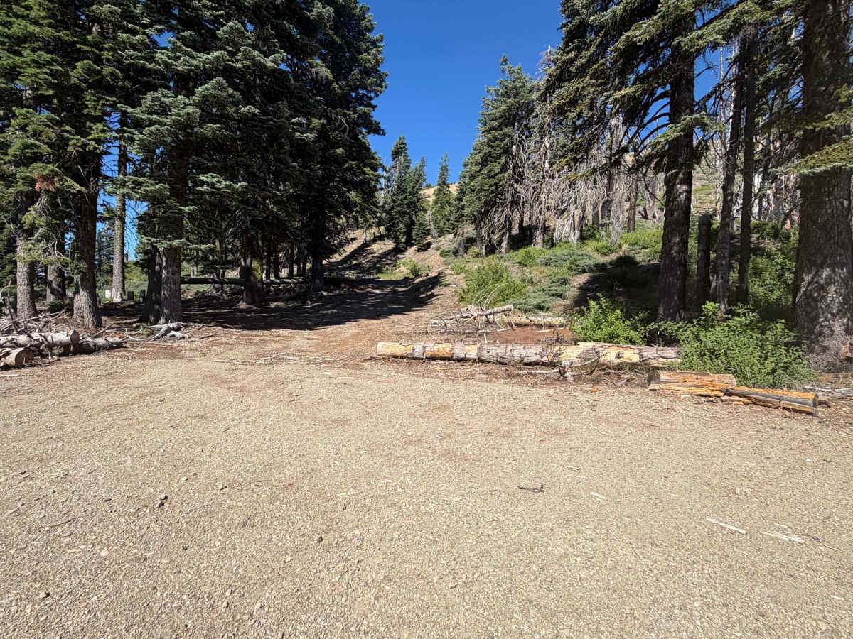
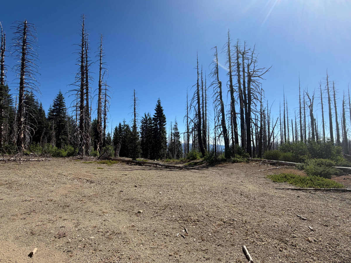
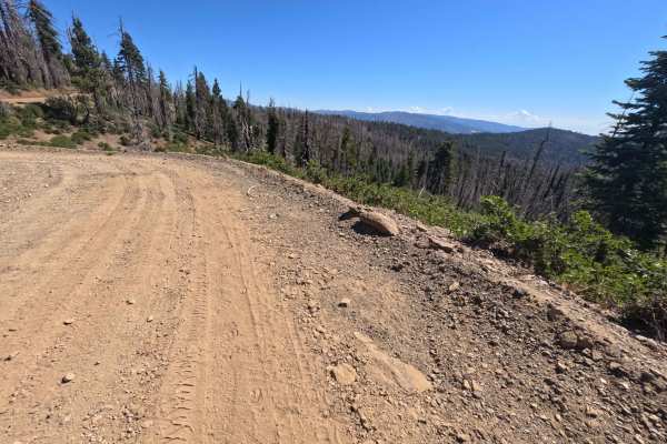
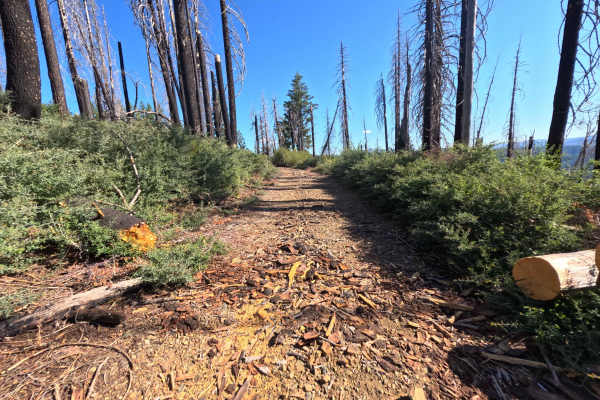
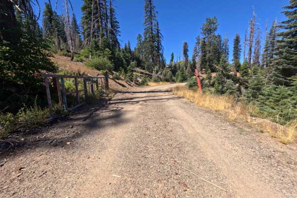
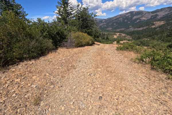
Set within a high-elevation alpine forest recovering from the 2020 August Complex Fire with standing timber snags and evergreen firs in the Mendocino National Forest, Anthony Lookout - FS 23N60 offers an inspiring mountain ascent. Accessed directly across from Wells Cabin Campground, this 1.4-mile single-lane out-and-back spur climbs steadily up the slopes of Anthony Peak. Public land visitors frequently journey along this high-country track to visit the historic fire lookout tower at nearly 7,000 feet, take in expansive 360-degree vistas of the surrounding wilderness, or utilize spacious primitive campsites along the way. The road surface consists of a well-traveled dirt and gravel track peppered with loose stones and shallow drainage dips. As the climb progresses, the tree canopy thins to reveal wide-open views across the valley, passing large roadside camping turnouts at 0.2 miles and 0.8 miles that easily accommodate multiple vehicles. The drive concludes at an expansive gravel summit turnaround surrounding the active U.S. Forest Service lookout facility and solar equipment.
Difficulty
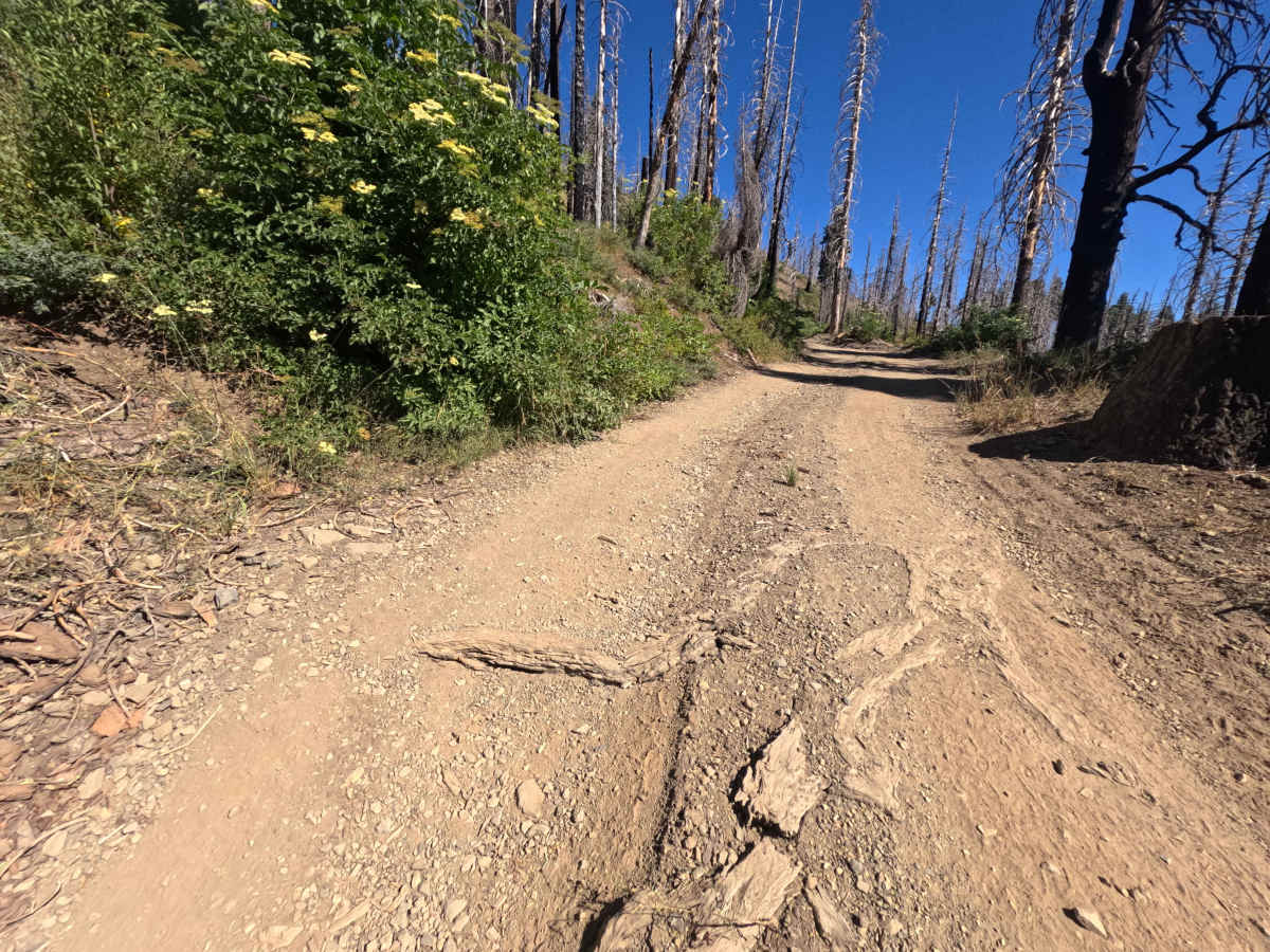
This 1.4-mile mountain spur features a firm dirt and gravel surface with loose stones and mild elevation gain. Main obstacles are non-technical, consisting of small embedded rocks, shallow rain runoff channels, and occasional muddy dips following wet weather. Vehicles do not require extra ground clearance or four-wheel drive under dry seasonal conditions, provided drivers maintain steady throttle up the climb and steer around loose surface cobbles.

 Offroad