East Government Creek - FS 23N27

Total Miles4.1
Technical Rating
2Easy
Best TimeSummer, Fall
Trail TypeFull-Width Road
Accessible By
Open Trail Map

Trail Overview

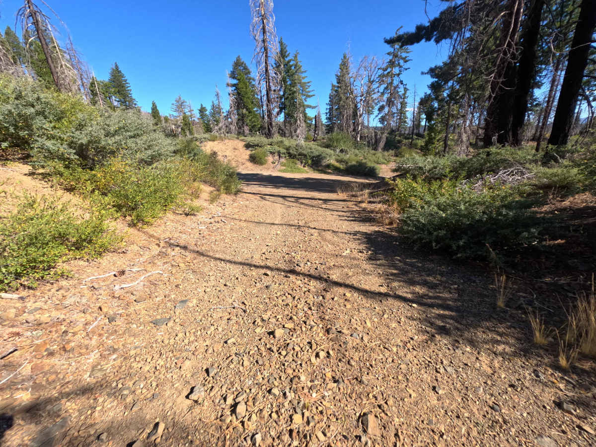
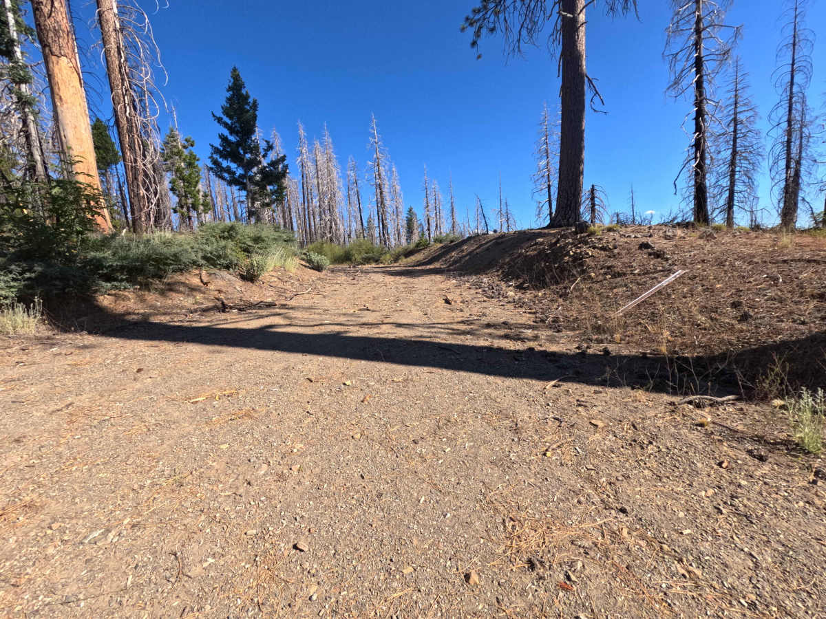
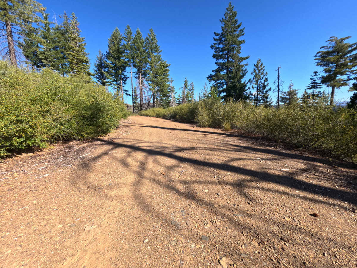
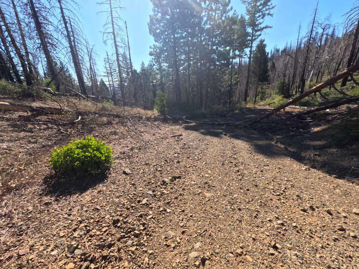
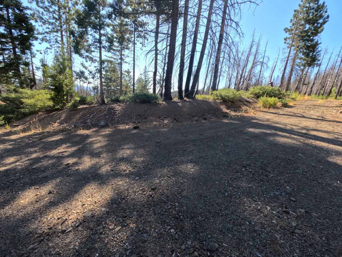
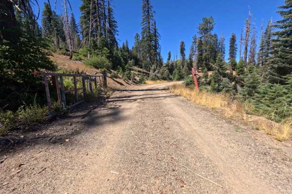
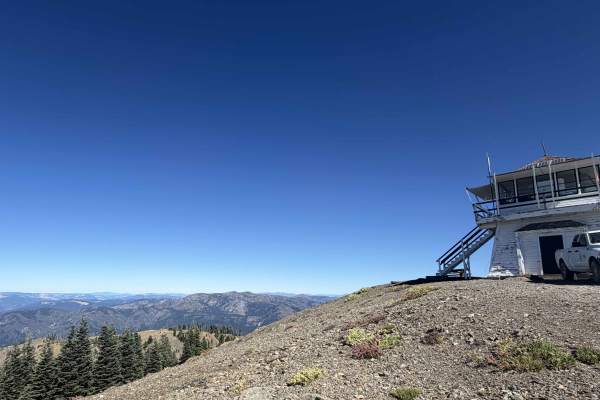
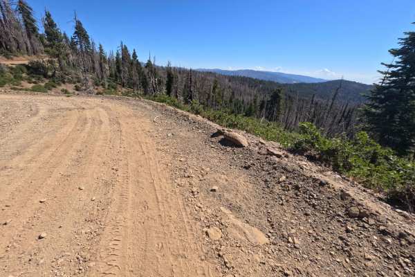
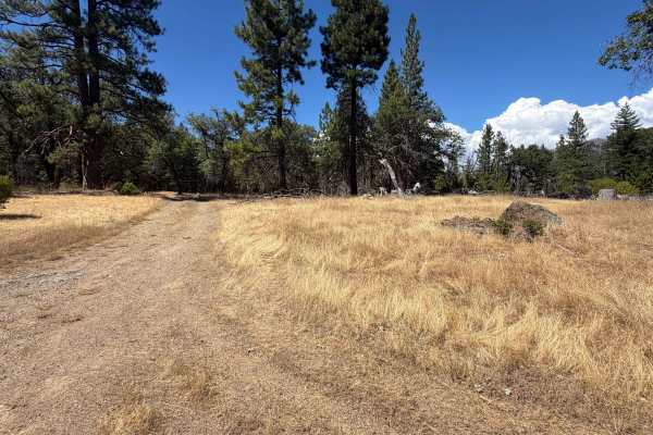
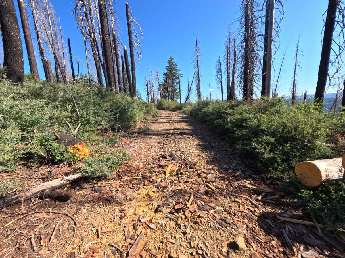
Set within a stark, high-elevation burn scar recovering from the massive 2020 August Complex Fire with standing timber snags and low brush in the Mendocino National Forest, East Government Creek - FS 23N27 offers a quiet backcountry excursion. Accessed directly off of Forest Highway M2, this single-lane gravel spur serves as a connector route venturing into remote forest terrain. Public land visitors primarily travel this path to locate solitary primitive dispersed campsites, take in stark high-country views, or explore quiet side roads off the main M2 corridor. The driving surface consists of a single-track gravel and hard-packed dirt road lined with light pine litter and small stones.

Photos of East Government Creek - FS 23N27

Difficulty

This single-track gravel spur presents a firm, predictable driving surface with minimal elevation challenge and no technical rock obstacles. Ground clearance and four-wheel drive are not required under normal dry seasonal conditions.

Technical Rating

2

East Government Creek - FS 23N27 Trail can be accessed by the following ride types:

  • Single Track
  • 50 Inch
  • 60 Inch
  • High Clearance
  • Full Width

East Government Creek - FS 23N27 Map

The onX Offroad Difference

onX Offroad combines trail photos, descriptions, difficulty ratings, width restrictions, seasonality, and more in a user-friendly interface. Available on all devices, with offline access and full compatibility with CarPlay and Android Auto. Discover what you're missing today!

Open Trail Map