Trail Overview
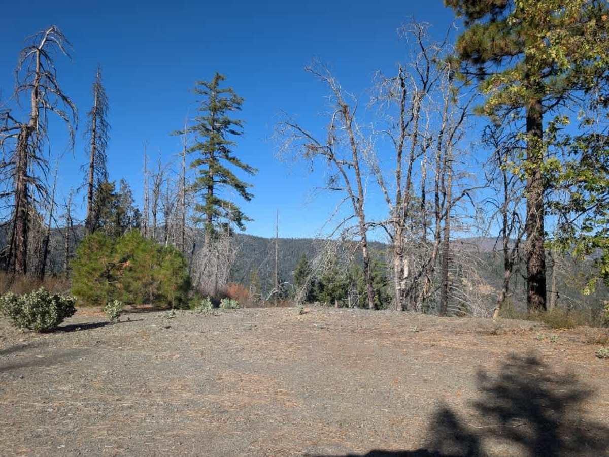
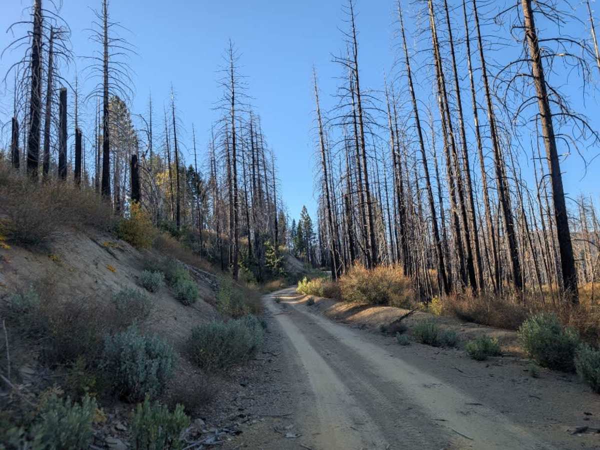
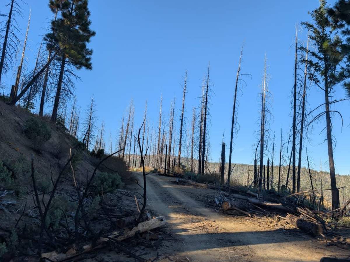
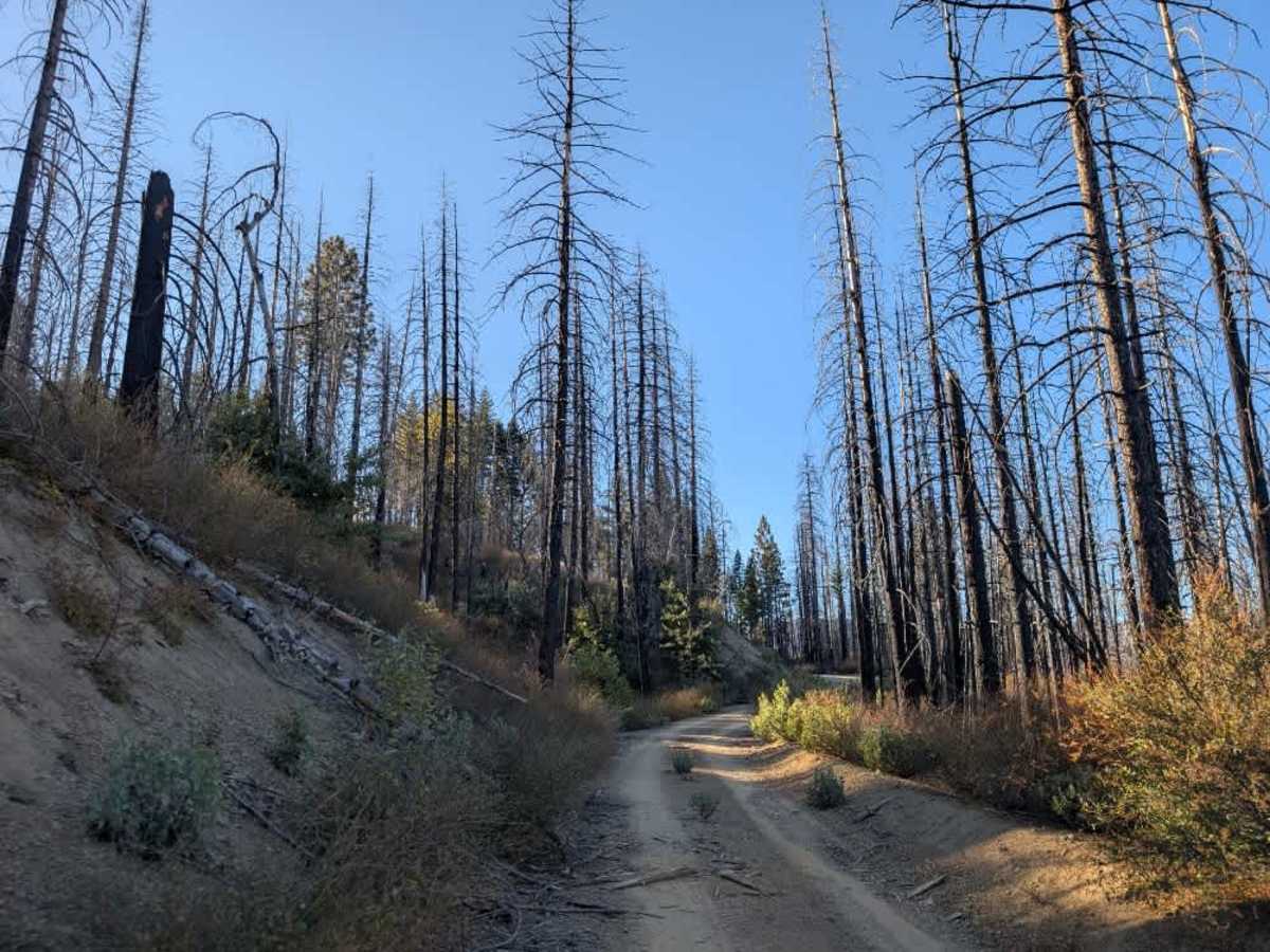
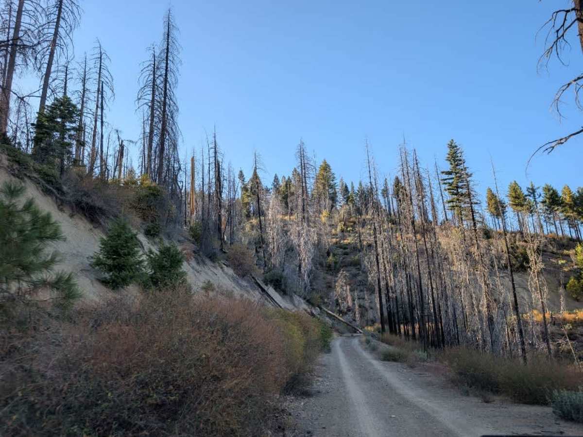
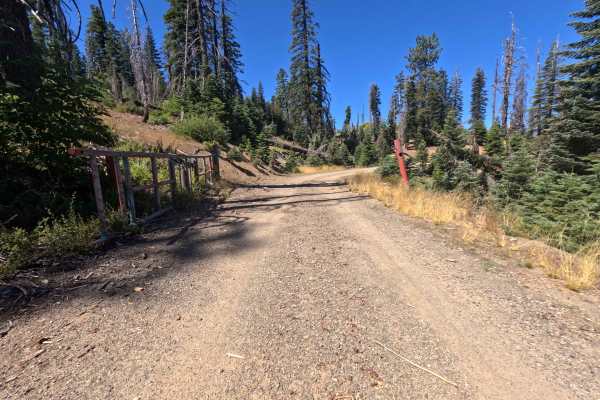
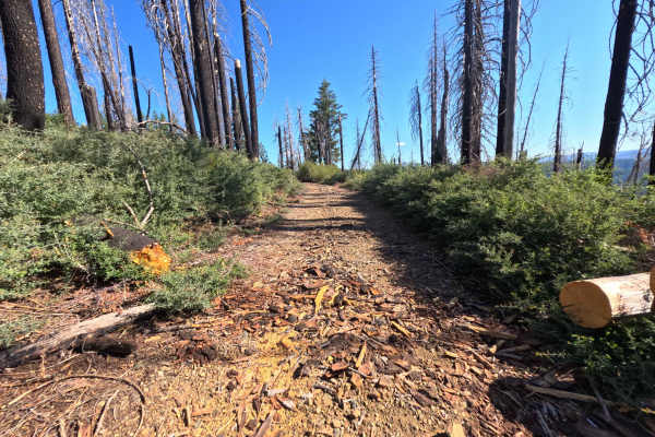
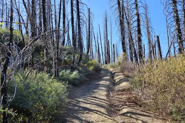
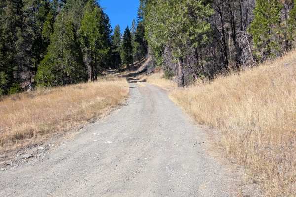
This beautiful trail offers a more adventurous drive, with challenging conditions that require careful navigation. The western portion is overgrown in places but remains passable with attentive driving. Expect numerous obstacles along the route, including fallen trees, debris, fallen rocks, and deep potholes that are more like open holes in the ground than typical road damage. Toward the east, the trail ends abruptly where approximately half of the road has been washed away. Local authorities have been notified, and a sand berm is expected to be placed at the damaged section. Do not attempt to bypass the washout or continue beyond the established endpoint. While the trail is beautiful and can provide an enjoyable adventure for experienced drivers, the combination of overgrowth, debris, washouts, and deep holes makes it unsuitable for routine travel. High-clearance 4x4 vehicles and other capable vehicles are recommended for this trail. Use extreme caution and assess road conditions carefully as you travel. ATVs, UTVs, Side-by-Sides, and Dirt Bikes must always have a valid California ATV Operating Permit sticker.
Difficulty
The combination of overgrowth, rough obstacles, and a major washout makes this a very challenging trail.

 Offroad