Trail Overview
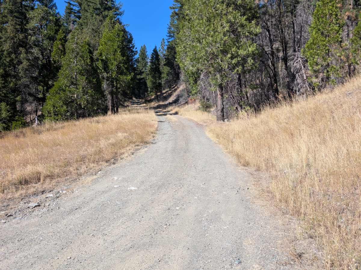
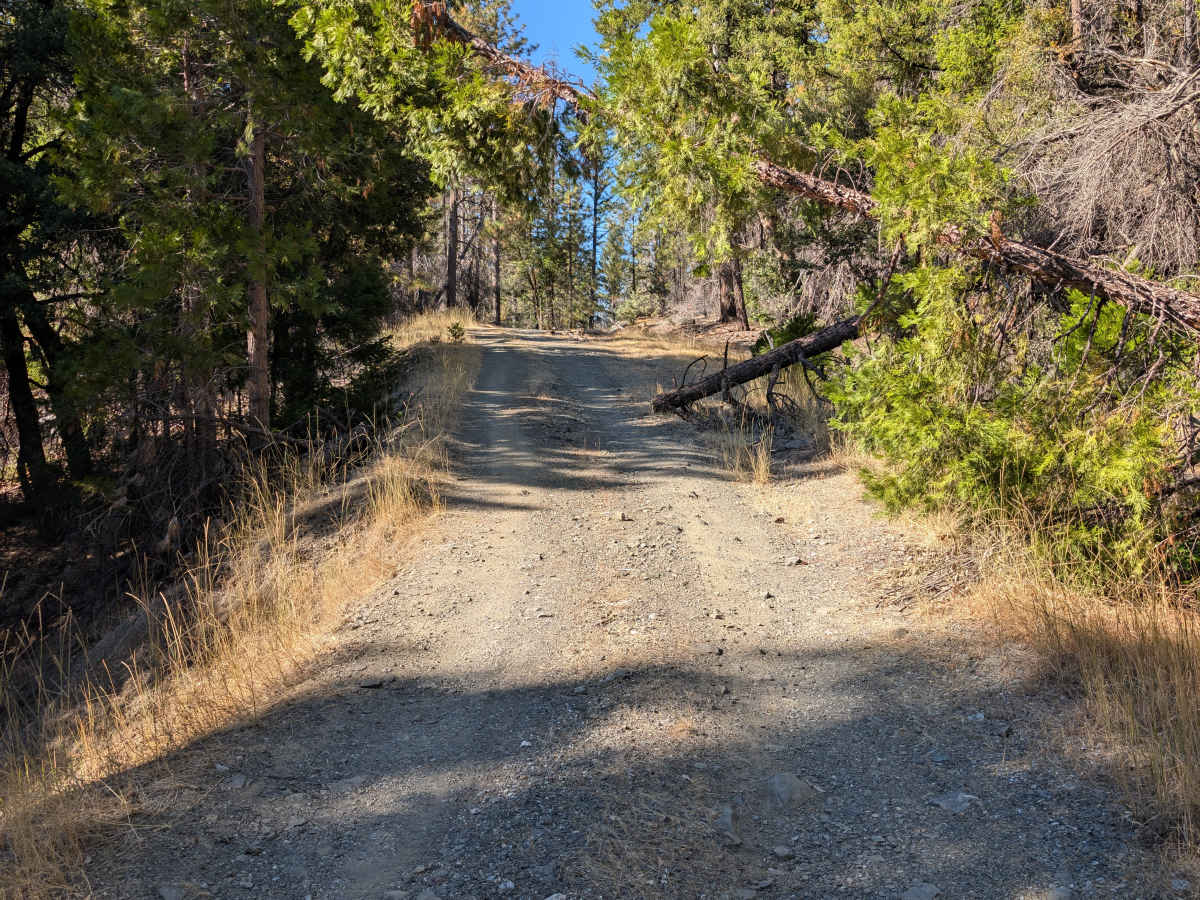
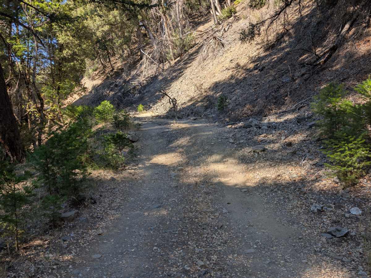
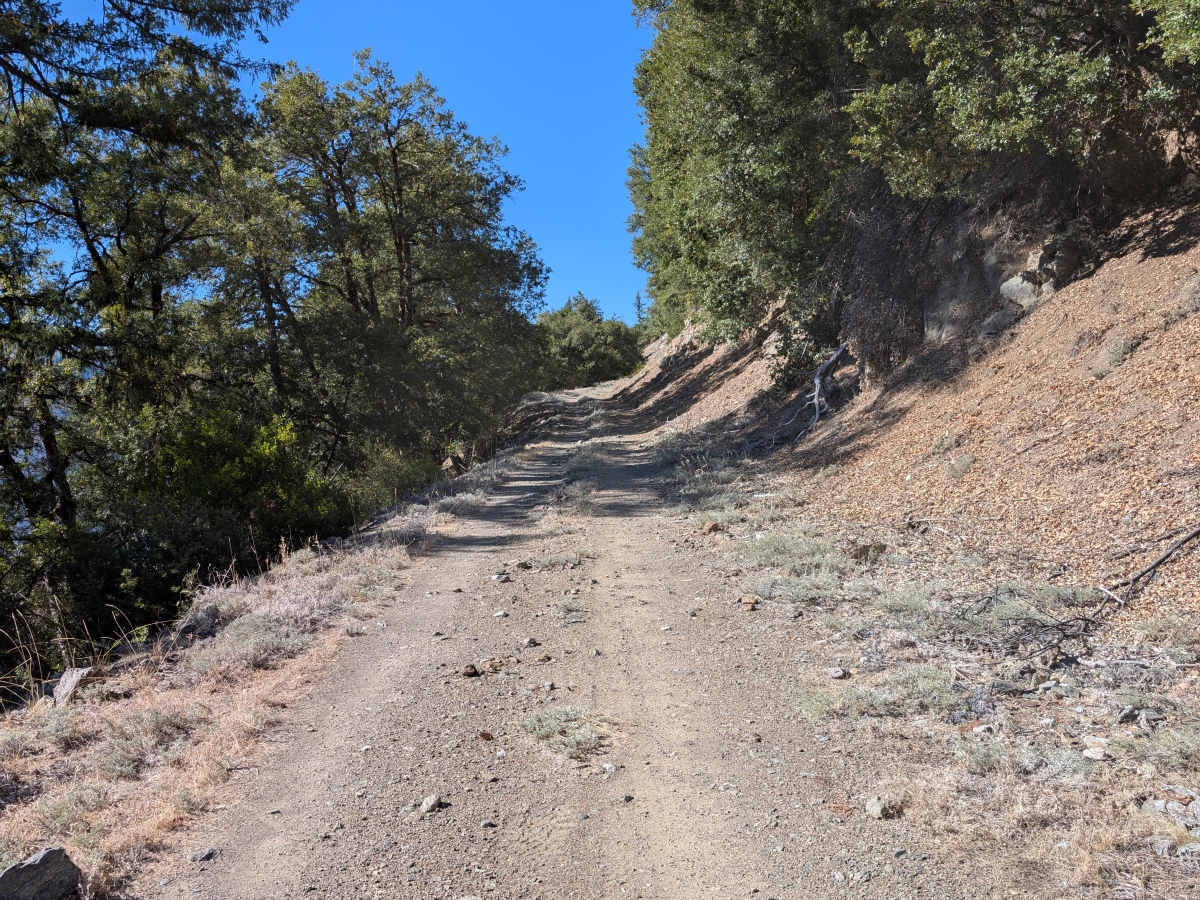
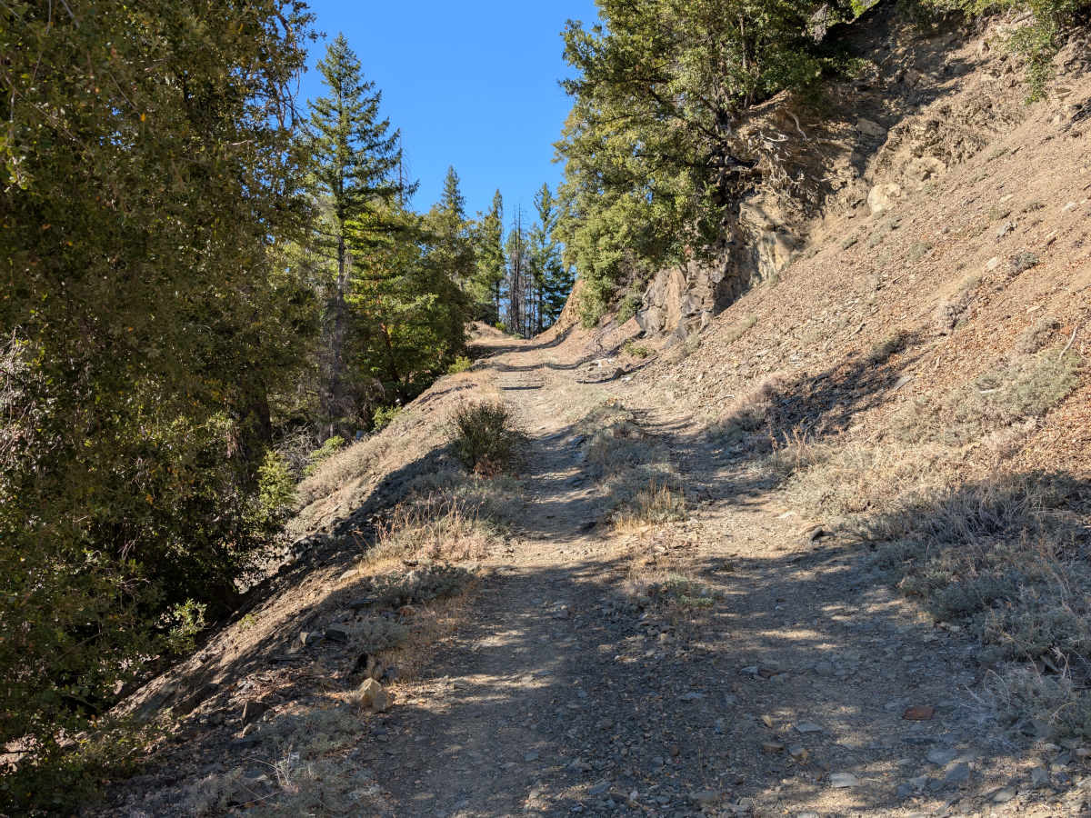
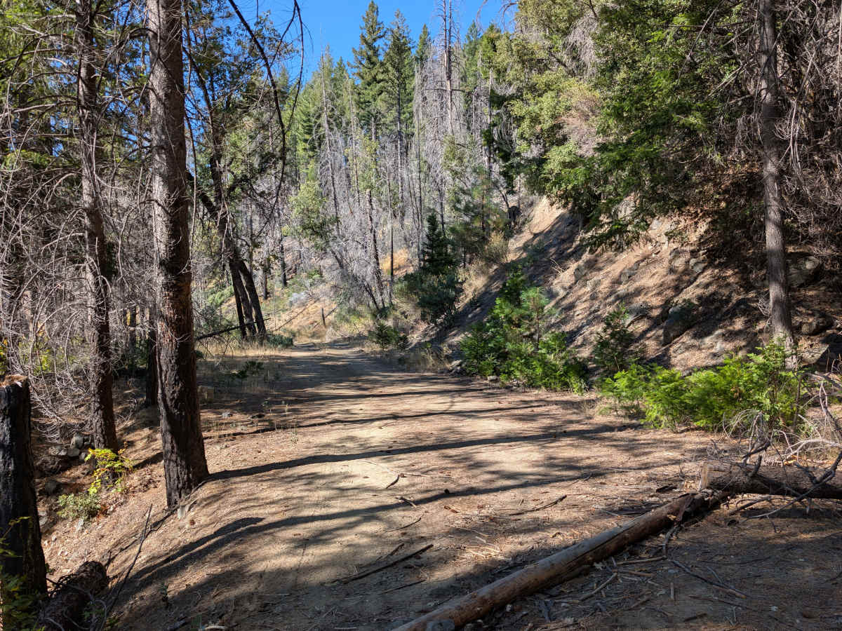
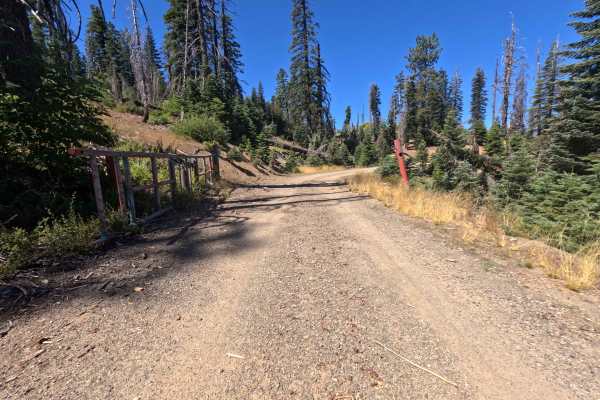
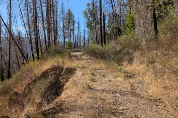
This narrow, challenging track features ruts, loose rock, and several off-camber sections, with a sharp drop-off on the left side. The route starts relatively easily, with fallen trees and branches near the road, before reaching a large dip followed by a sharp mound you must drive over. Beyond this section, the trail narrows and gets more technical, with an off-camber lean that can tilt your vehicle toward the drop-off. Numerous branches and fallen trees also line or overhang the roadway, adding obstacles and making careful vehicle placement important. The terrain is more extreme than the photos may suggest. Use extreme caution and make sure your vehicle can handle the conditions. The trail ends at a large mound intentionally placed across the road to block access to the remainder of the route. Do not attempt to bypass the obstruction or continue beyond the established endpoint. ATVs, UTVs, Side-by-Sides, and Dirt Bikes must always have a valid California ATV Operating Permit sticker.
Difficulty
The trail starts easier but quickly becomes more technical, with loose rock, ruts, and off-camber sections.