FS 24N06

Total Miles1.4
Technical Rating
2Easy
Best TimeSpring, Summer, Fall
Trail TypeFull-Width Road
Accessible By
Open Trail Map

Trail Overview

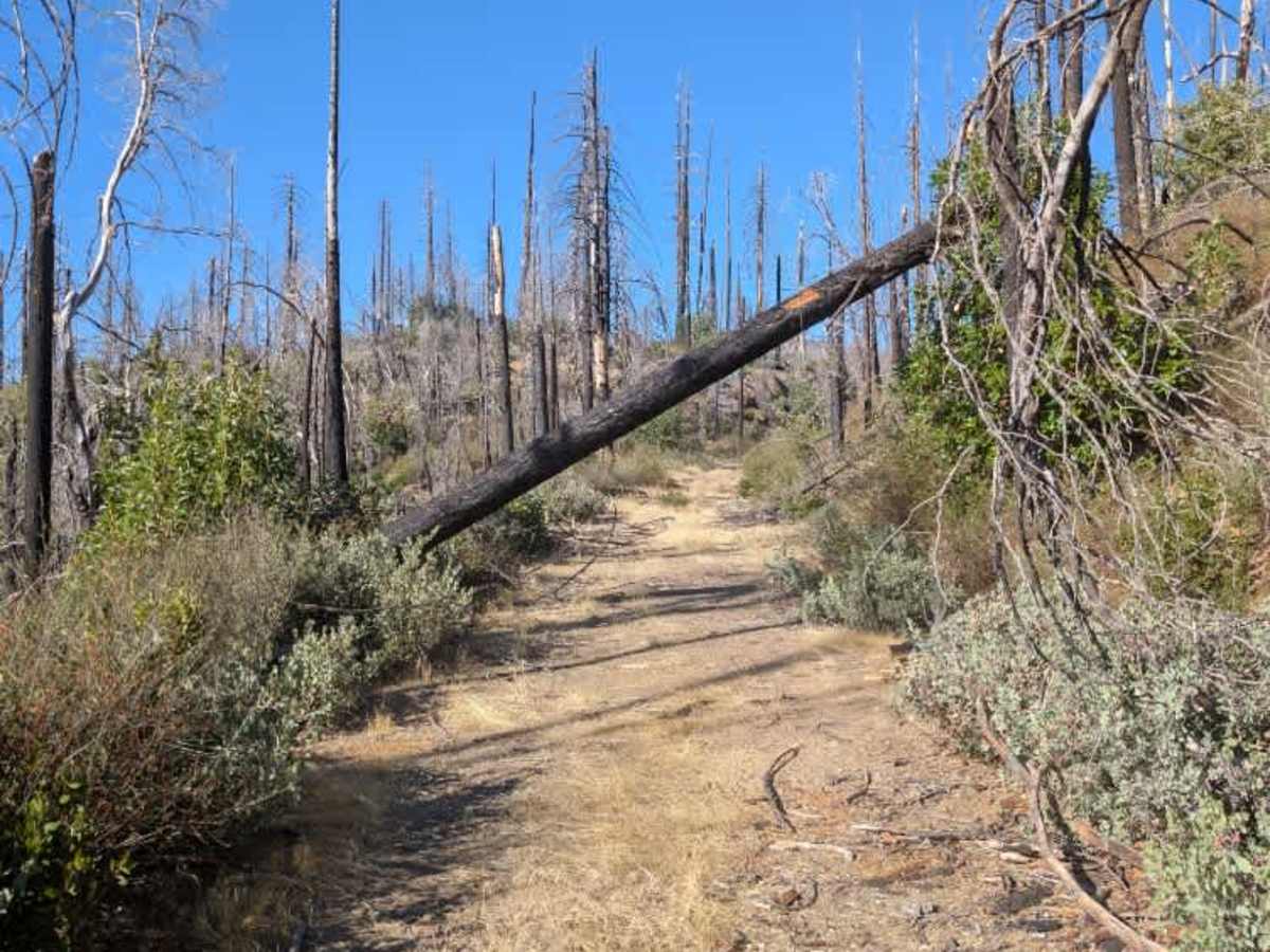
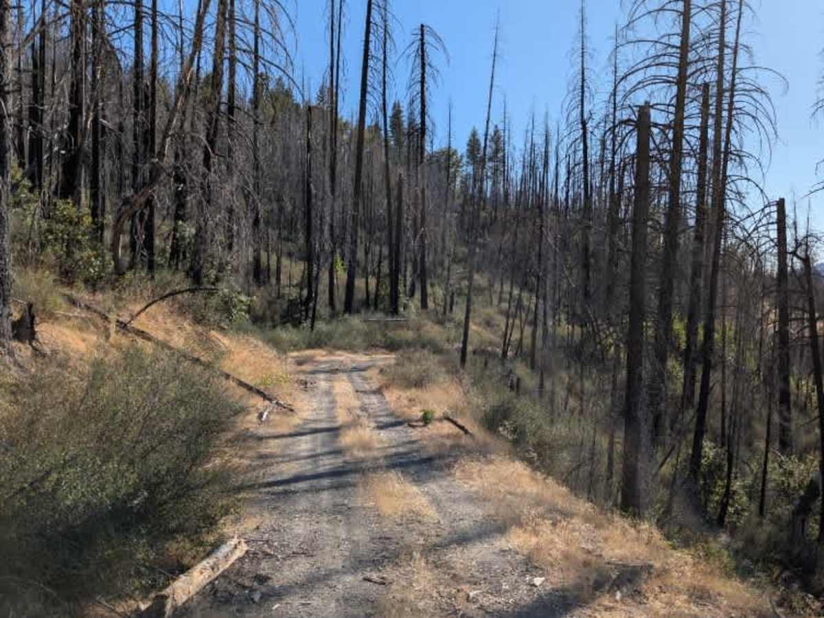
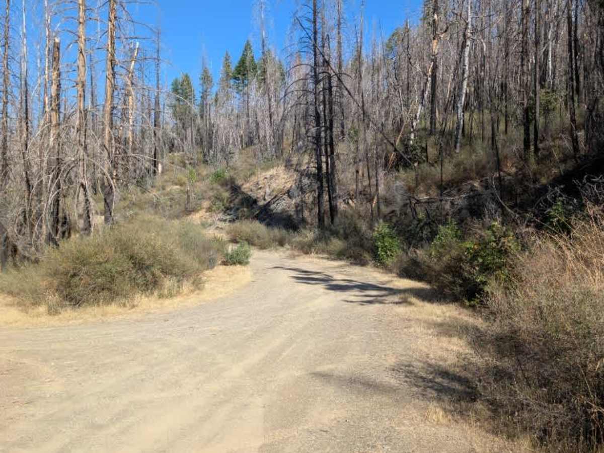
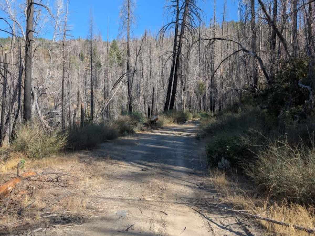
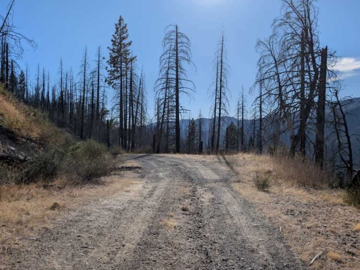
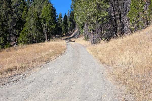
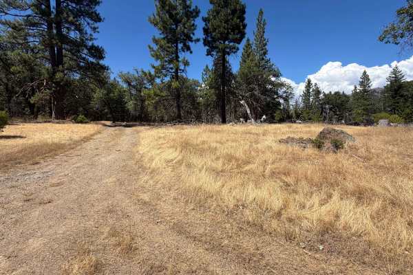
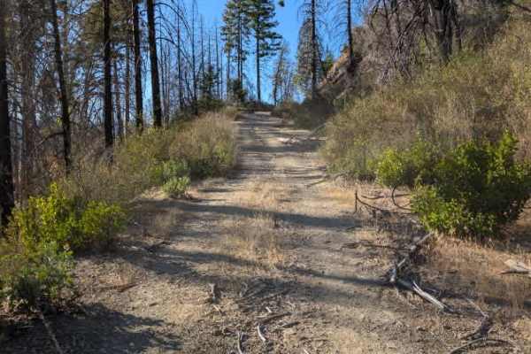
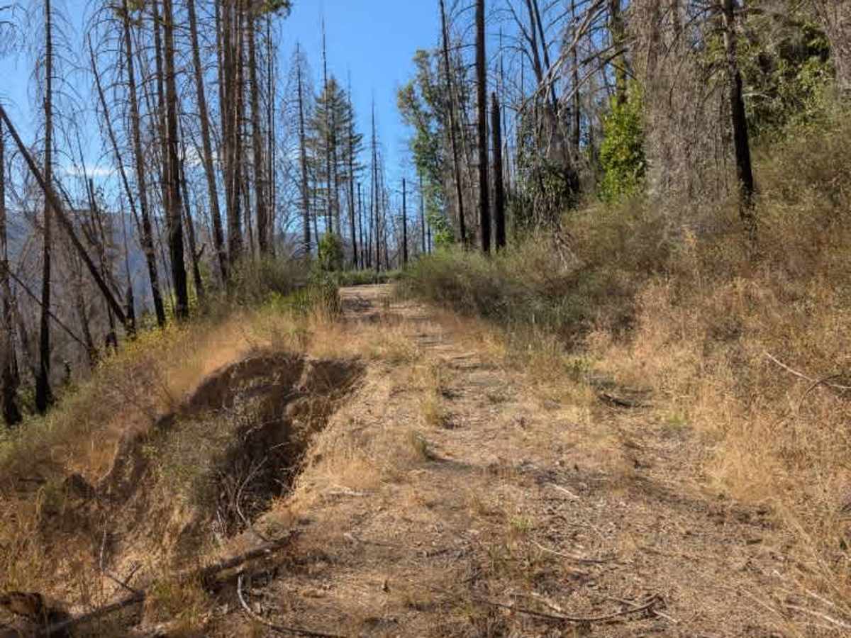
This route has fewer significant drop-offs than some nearby trails but still includes several obstacles and uneven sections. The roadway has branches, dips, and a stream near the end of the route. A large turnaround area is available before the road curves left, where a massive washout appears to have closed access to the rest of the trail. The washout is substantial and makes the route impassable for heavy vehicles. Only light, small vehicles may be able to navigate past the damaged section, so larger or heavier vehicles should not attempt to cross it. The road is intended to connect with the trail from the opposite direction, but the washout appears heavily overgrown. There may be access from the opposite direction, but there is currently no viable access through the washout from this side. Use caution around the damaged section, and do not attempt to cross it. ATVs, UTVs, Side-by-Sides, and Dirt Bikes must always have a valid California ATV Operating Permit sticker.

Photos of FS 24N06

Difficulty

The trail becomes more challenging near the end due to the large washout and damaged roadway.

Technical Rating

2

FS 24N06 Trail can be accessed by the following ride types:

  • Single Track
  • 50 Inch
  • 60 Inch
  • High Clearance
  • Full Width

FS 24N06 Map

The onX Offroad Difference

onX Offroad combines trail photos, descriptions, difficulty ratings, width restrictions, seasonality, and more in a user-friendly interface. Available on all devices, with offline access and full compatibility with CarPlay and Android Auto. Discover what you're missing today!

Open Trail Map