FS 25N18

Total Miles5
Technical Rating
2Easy
Best TimeSpring, Summer, Fall
Trail TypeFull-Width Road
Accessible By
Open Trail Map

Trail Overview

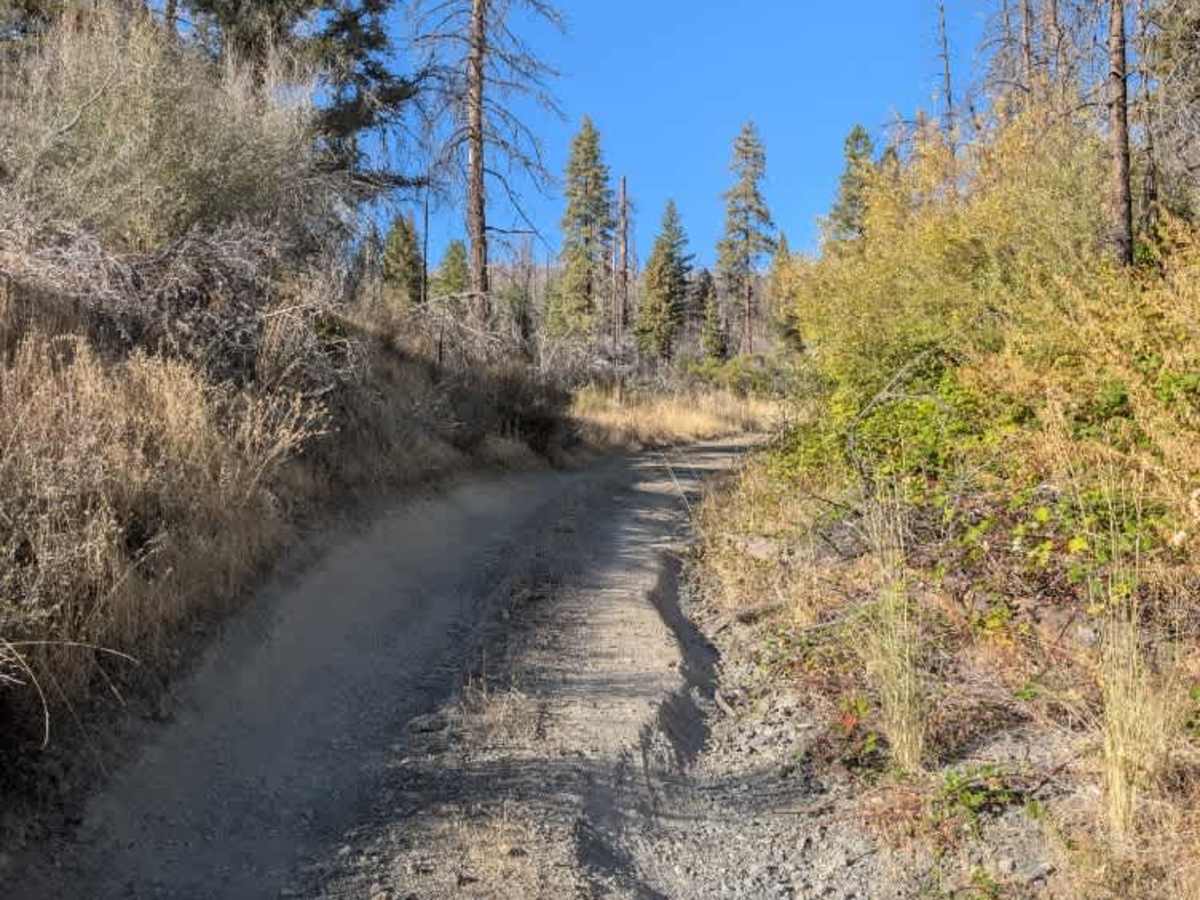
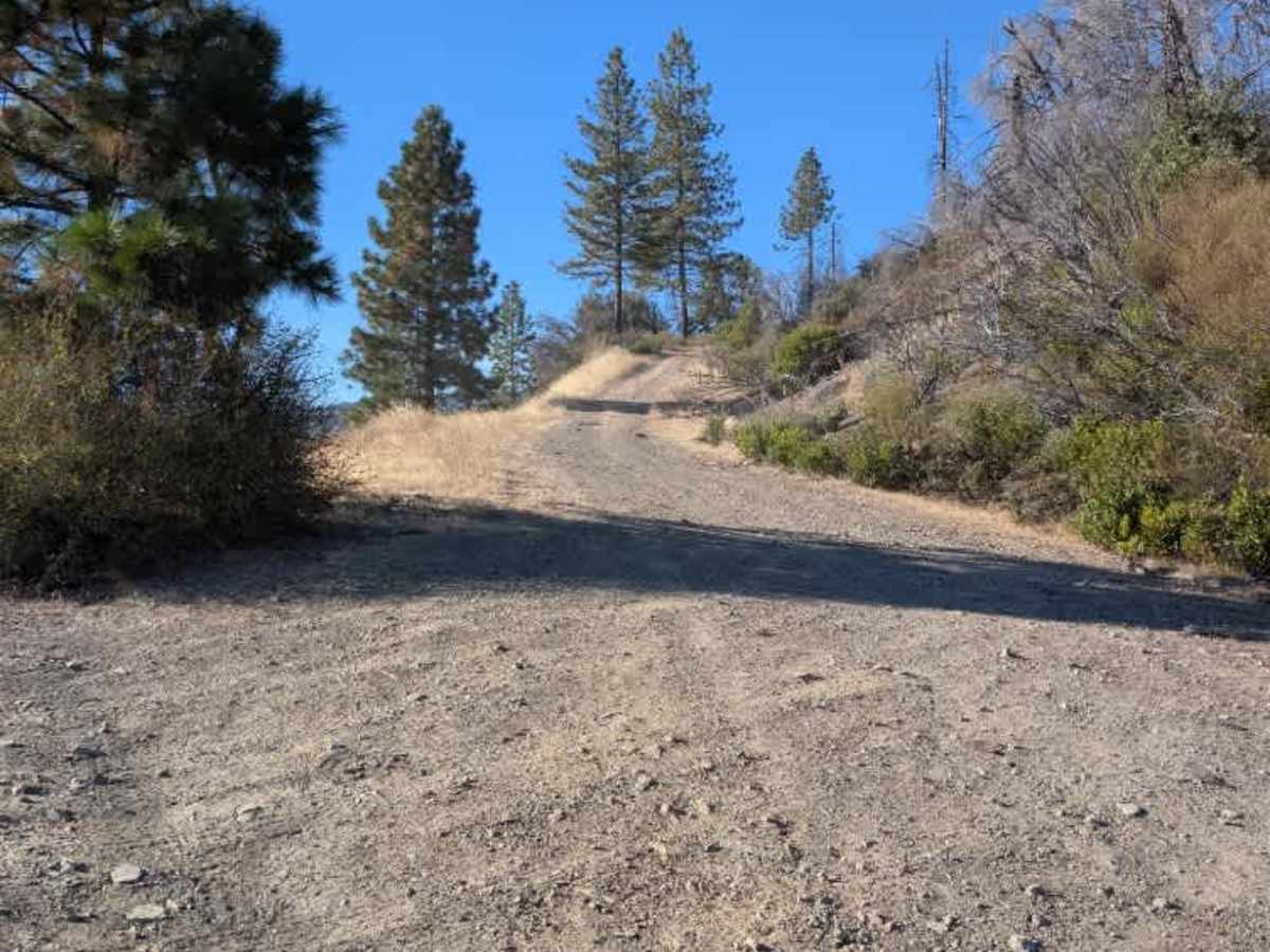
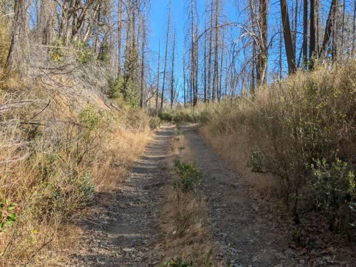
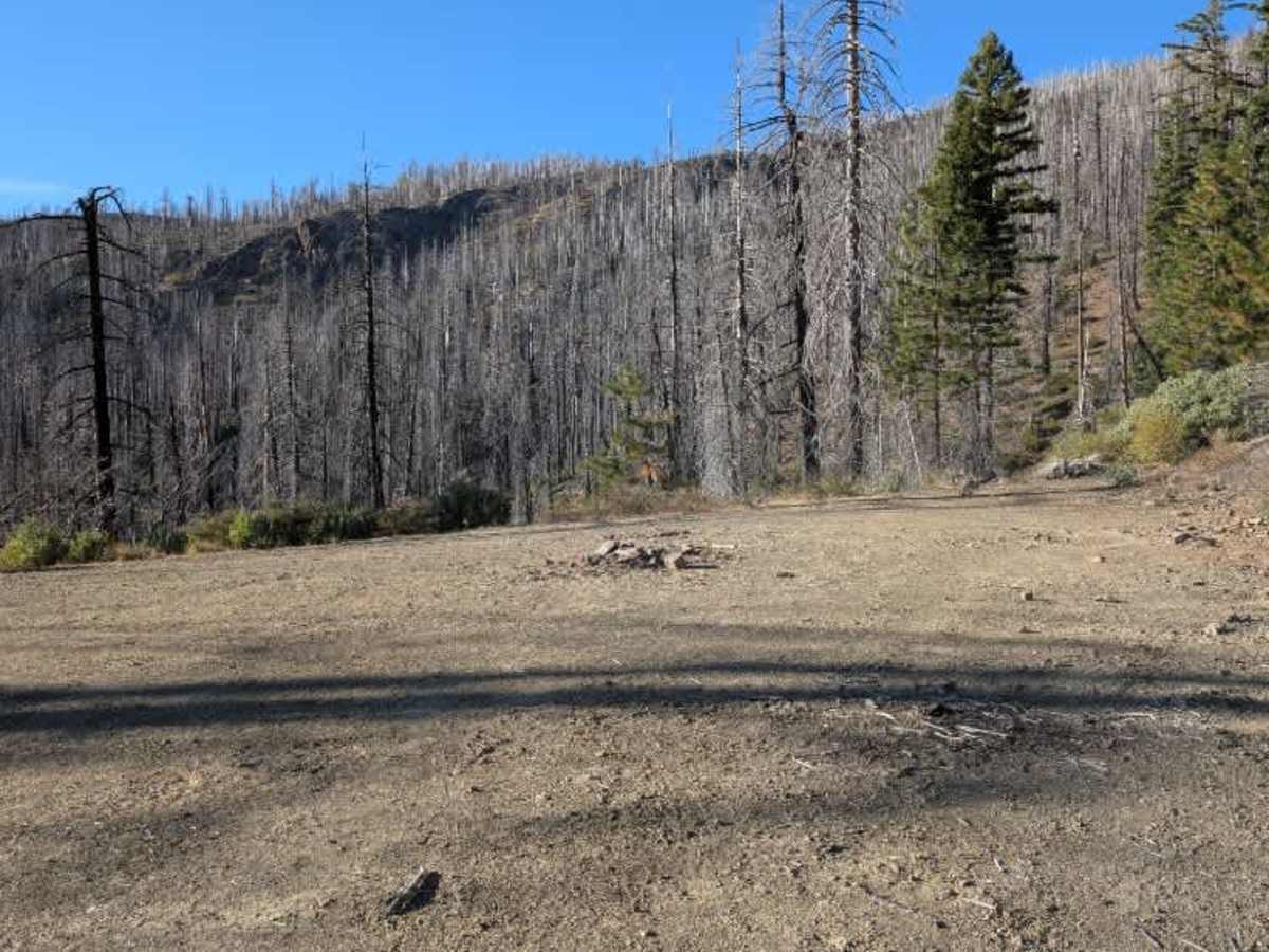
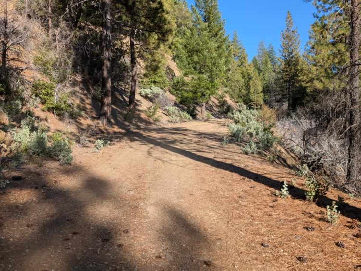
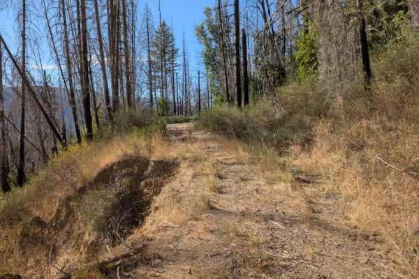
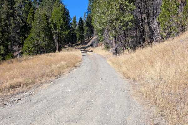
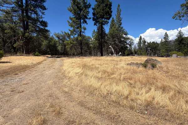
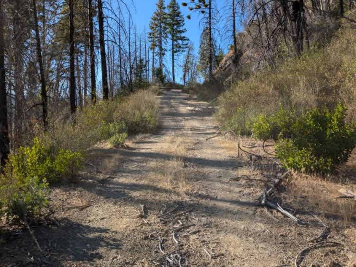
This mountain trail features ruts, washouts, steep drop-offs, and ditches as it winds uphill toward the end of the route. Several other trails branch off along the way, but these routes are already overgrown and are not suitable for continued travel. The main trail eventually reaches a flat turnaround area with a fire ring, providing a convenient place to stop before heading back down. A 4x4 vehicle is required, and low range is recommended for the steeper, rougher sections. Larger vehicles are not recommended because of the terrain and narrower sections of the trail. ATVs, UTVs, Side-by-Sides, and Dirt Bikes must always have a valid California ATV Operating Permit sticker.

Photos of FS 25N18

Difficulty

This is an enjoyable route with varied terrain, but the combination of ruts, washouts, ditches, and drop-offs requires careful driving.

Technical Rating

2

FS 25N18 Trail can be accessed by the following ride types:

  • Single Track
  • 50 Inch
  • 60 Inch
  • High Clearance
  • Full Width

FS 25N18 Map

The onX Offroad Difference

onX Offroad combines trail photos, descriptions, difficulty ratings, width restrictions, seasonality, and more in a user-friendly interface. Available on all devices, with offline access and full compatibility with CarPlay and Android Auto. Discover what you're missing today!

Open Trail Map