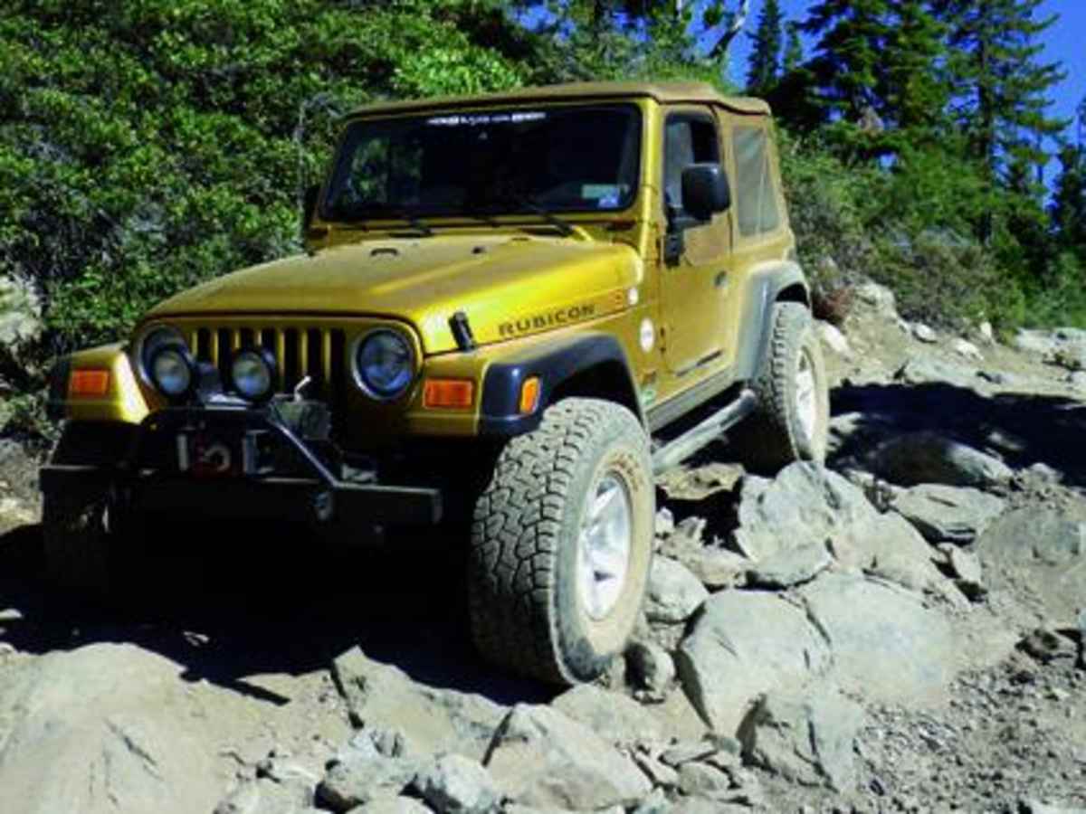
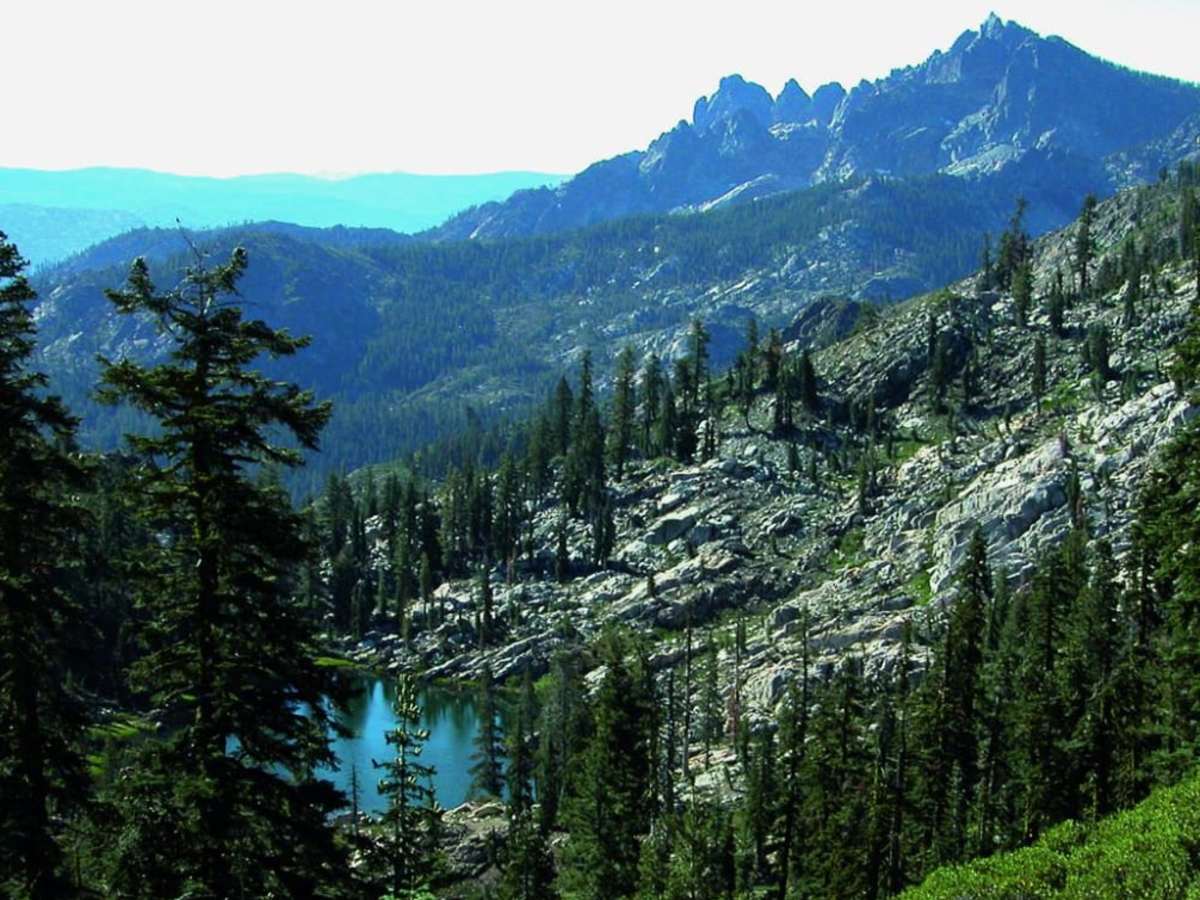
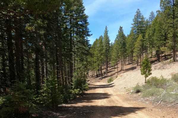
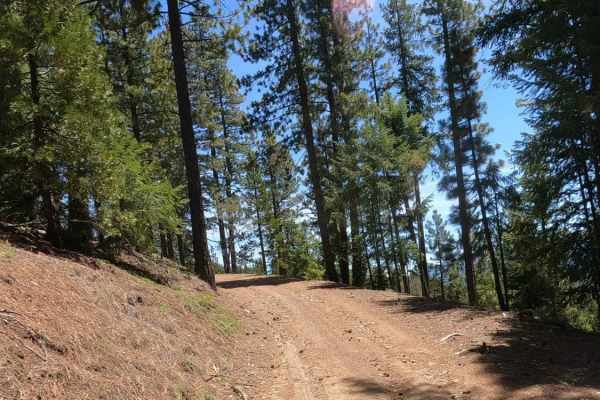
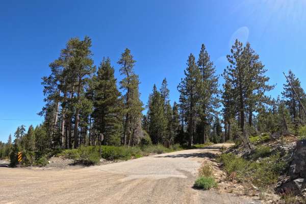
Deer Lake, Gold Valley

Total Miles 25.1
Technical Rating
2 Easy
Best Time Summer
Trail Type Full-Width Road
Accessible By
Open Trail Map

Trail Overview

Trail begins with an easy climb to a high scenic ridge above beautiful Deer Lake. The route then descends into rugged Gold Valley and heads north past mines and lakes. To modify the trip, you can head north from Waypoint 02 to a scenic campground above Gold Lake or just exit back to Gold Lake Highway. Another option is to head north from Waypoint 02 and immediately turn left to run difficult Snake Lake, Trail #9. Unlicensed vehicles must stop at Waypoint 06.

Photos of Deer Lake, Gold Valley

Difficulty

Moderate: 
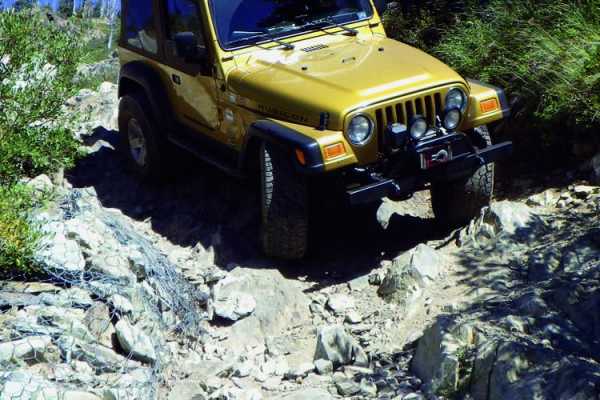
Deer Lake trail is mostly easy except at the north end. After Waypoint 03, the trail drops steeply into Gold Valley and wanders backand- forth across a narrow, rocky creek bed. Okay for stock 4x4 SUVs with high clearance and skid plates. Novice drivers use caution.
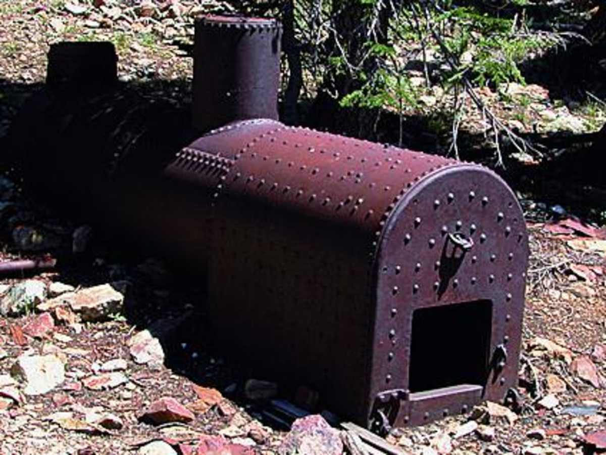
History

Sierra County was an extremely active gold mining area starting with the gold rush in the 1850s. Many mines are located between Sierra City and Johnsville, including the Four Hills Mine on this route. Nearly a half million dollars in gold was extracted here from a high-grade surface deposit. To learn more, take time to visit the excellent Plumas Eureka State Park Museum at the end of the route.

Technical Rating

2

Status Reports

Add Status Report
Russel Parker
Sep 19, 2025
Open
This is not a trail to take lightly. I would rank the trail to be something more like a 6 to 8. Drove it in a 2017 Toyota Tacoma lifted and running on 35” tires. Found some spots to be pretty tight and had to use at times my 4L and rear lockers.
Jake Tkach
Jul 31, 2025
Open
This is NOT AN EAST TRAIL. The loop to avoid snake lake trail is definitely a 5-6. Rear locker and 33s recommended. I was by myself on my 3rd gen 4runner, fully locked. I had no problem, just had to get out and spot 6-7 times while my sister drove. I came down from bassets station so it was much easier than coming up from Graeagle.
Dean Eppley
Jul 12, 2025
Open
We had a club group on this trail. The Gold Valley OHV trail was much more difficult than the 2 rating given by OnX between the lower Snake Lake intersection and the upper Snake Lake Intersection. We had a Renegade Jeep SUV unexpectedly join us and it ripped its front bumper off on a large exposed root. A stock Forerunner had a very difficult time. The lifted Jeeps had no problems.
Jake Tkach
Jun 12, 2025
Open
3rd gen 4runner 33s. Came from Sierra buttes, Made it about half way, a little past eagle lake and had to turn around because of deep snow which is spotty but I just didn’t want to winch. I ll give it another week or two and it will be good to go
Rick Fletcher
May 26, 2025
Open
From Johnsville, trail blocked just past USFS campground at intersection. Deep snow and downed trees.
Rob M
Sep 28, 2024
Open
Ran trail end to end. Trail is a 2 up to Deer Lake and pretty easy. After that, it’s about a 3 u til you descend down into the valley, where it’s 4-5 the whole way through until you climb back out and up the other side of the canyon. I’m on 33’s with a Gladiator Rubicon and my skid plates took some hits. Might have been avoidable with a spotter, but I just had to scout and go for it. Short wheelbase vehicles would benefit probably. Also expect lots of pinstripes with the overgrowth. Very narrow. Overall a lot of fun. Took a little over 4 hours all the way through to Graegle. A bit more than usual traffic due to hunting activity.
Rob M
Sep 21, 2024
Open
This trail is definitely a 4 after you pass Deer Lake, maybe a 3 to that point. There's a fairly steep descent between Deer Lake and the connector for Snake Lake that you'll need a spotter for if you're short on ground clearance as it's a blind drop and there's a couple of rocks you'll need to navigate. We steered into Snake Lake from there, so can't say how things were past that point. Amazing views! The view of Deer Lake is amazing and worth the trip down if you have the time to dip in the water.
Ty Adams
Sep 01, 2024
Open
Large obstacles, and large side camber in spots. A few spots where 4 low was required
Matthew Mangus
Aug 26, 2024
Open
Trail rating no longer accurate. Most of the trail proper is a 3-4 with a 5 rated rocky climb at 39.654067, -120.704967. We encountered Sprinter vans who tried to enter this trail and had to turn back bc they were misled by the incorrect rating. Also, the trail submission from the Fun Treks info shows the trail stretching from withing Plumas Eureka SP all the way to Packer Saddle. This is misleading and should be broken up into at least three separate trail submissions. We encountered Sprinter vans who tried to enter this trail and had to turn back bc they were misled by the incorrect rating.
Andrew Connors
Sep 24, 2023
Open
Roger Craig
Aug 09, 2023
Open
Rick Fletcher
Jun 25, 2023
Open
Richard Bloom
Mar 09, 2023
Open

Deer Lake, Gold Valley Trail can be accessed by the following ride types:

  • Single Track
  • 50 Inch
  • 60 Inch
  • High Clearance
  • Full Width

Deer Lake, Gold Valley Map

The onX Offroad Difference

onX Offroad combines trail photos, descriptions, difficulty ratings, width restrictions, seasonality, and more in a user-friendly interface. Available on all devices, with offline access and full compatibility with CarPlay and Android Auto. Discover what you're missing today!

Open Trail Map