Trail Overview
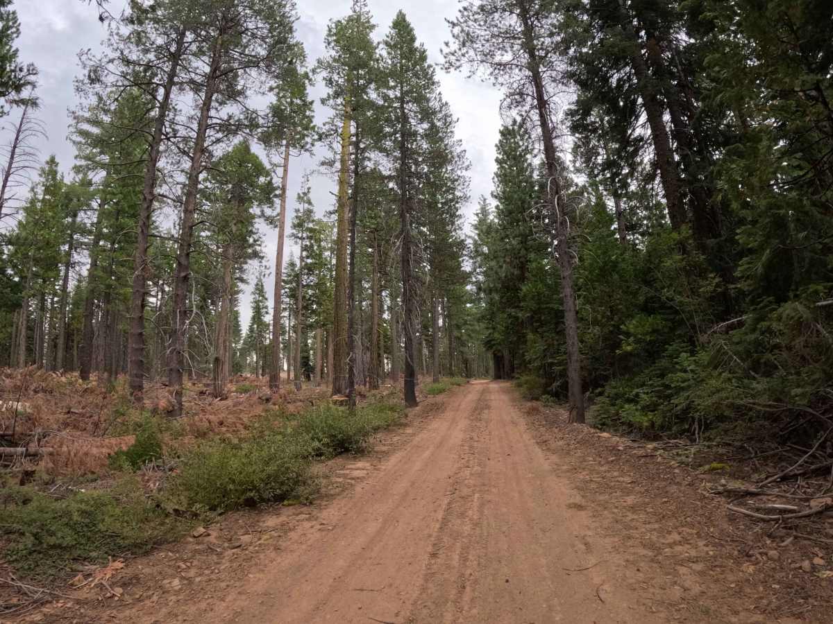
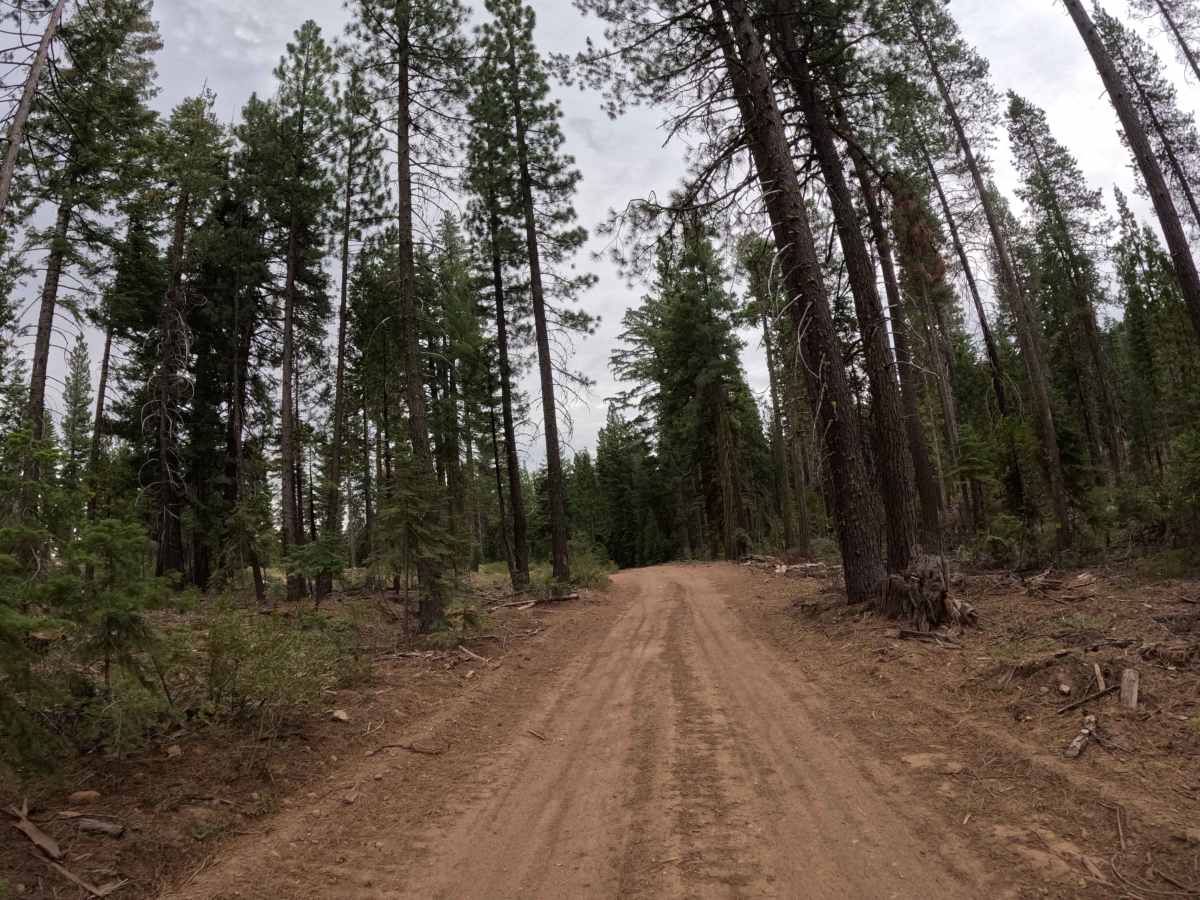
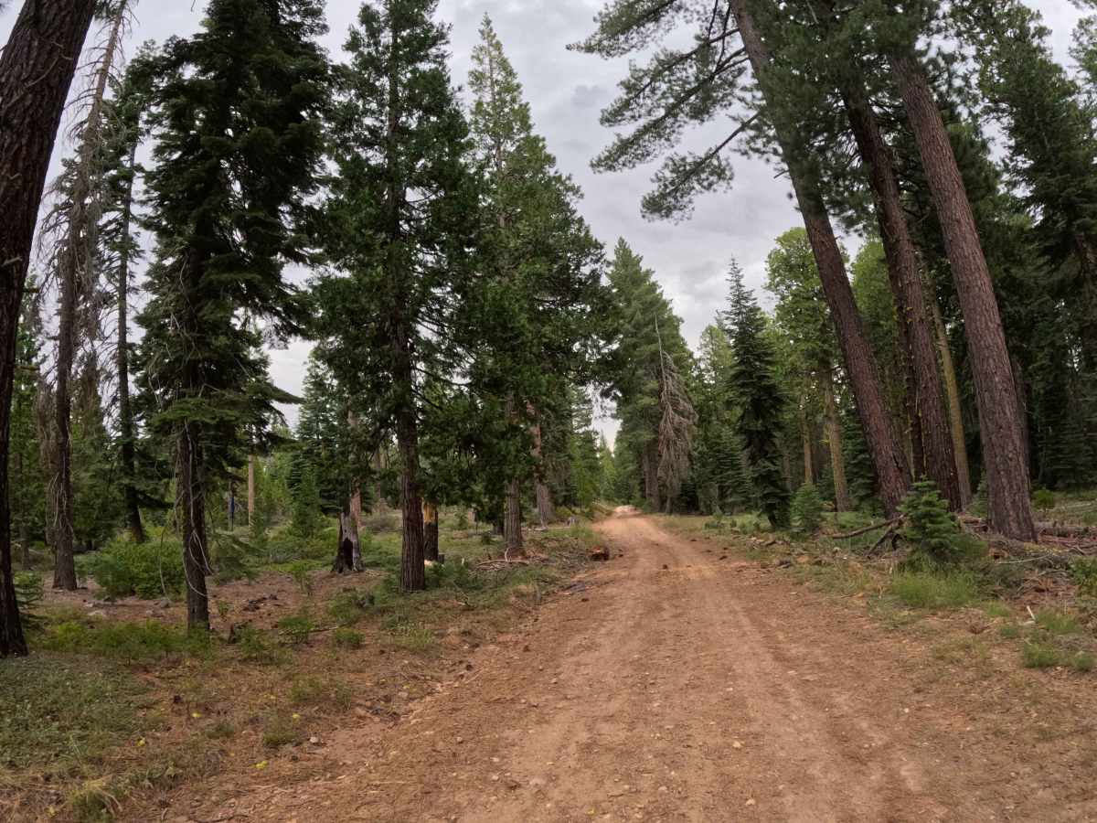
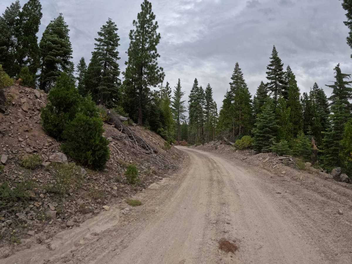
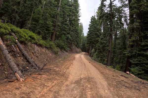
This section of the Chapman Calpine road begins just off Highway 89 in the town of Calpine, serving as one of two distinct routes sharing this name that do not actually physically connect. The journey starts as a wonderfully smooth, wide dirt road flanked by evergreen trees before opening up into a significantly deforested landscape. Because of recent logging operations, much of the surrounding area has been cleared, leaving behind large, built-up slash piles and a highly exposed environment rather than a dense forest canopy. While the route lacks sweeping mountain vistas, the primary point of scenic interest is an old, quiet reservoir situated right along the trail. However, visitors should note that the water is heavily thick with green algae, making it entirely unsuitable for swimming and best enjoyed strictly from the shoreline. Overall, the path remains fairly straightforward to follow, making it a pleasant drive through a changing woodland landscape.
Difficulty
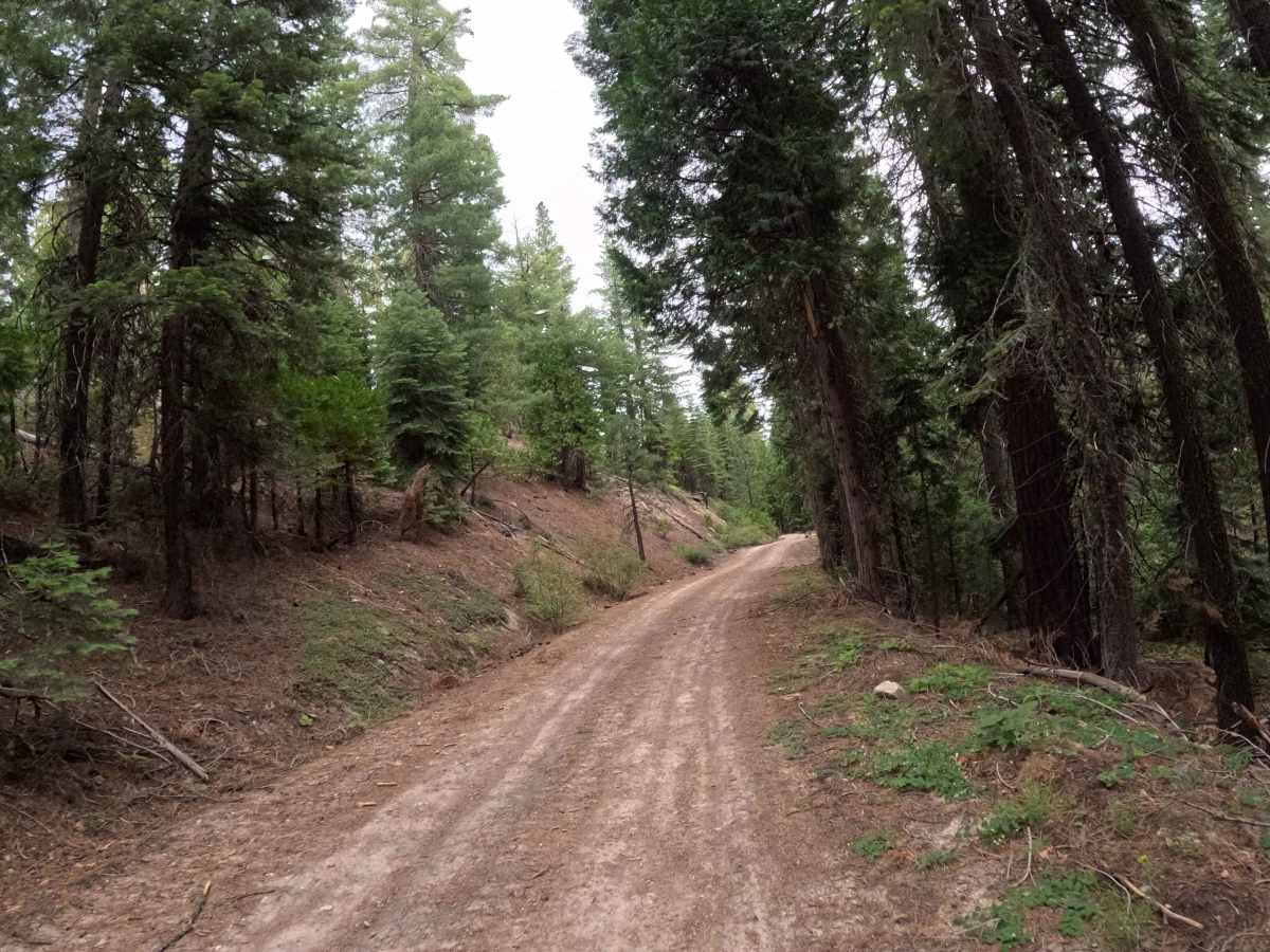
For the first stretch, the surface is incredibly smooth and welcoming, but drivers should remain alert as the conditions shift. At roughly a mile and a half in, you will encounter a few distinct bumps and small divots created by old water runoff. As you approach the three-mile mark near the end of the trail, these dirt divots become much more significant and deep. To safely navigate these uneven, rutted sections in a vehicle with limited ground clearance, it is essential to reduce your speed. Taking these runoff divots too fast could result in an uncomfortable jolt or a scraped undercarriage, but with a cautious, controlled pace and careful tire placement, any standard all-wheel-drive system will handle this route with absolute ease.