Trail Overview
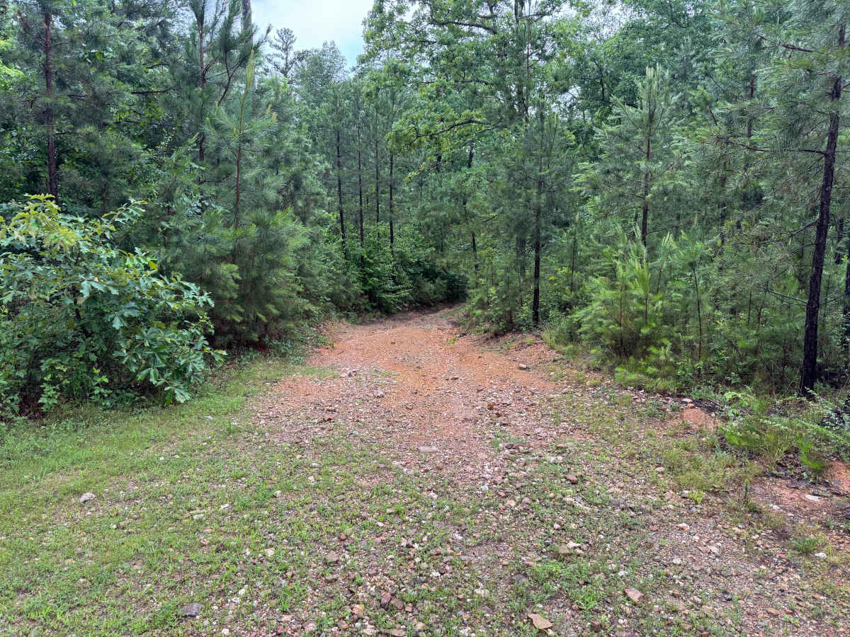
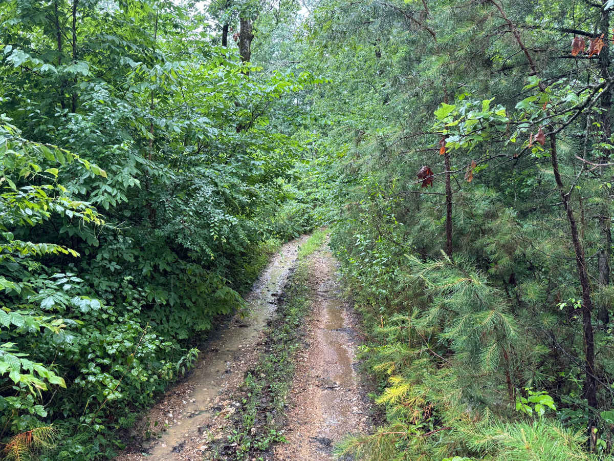
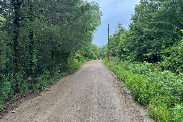
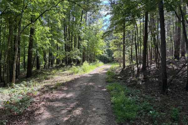
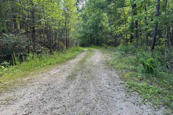
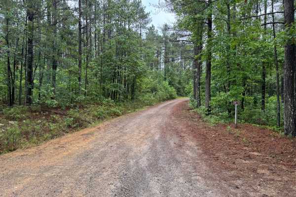
This unmaintained forest road serves as a connector between Bear Den Mountain and Ryan Road, offering a more primitive experience than many of the surrounding routes. The route begins with a relatively open gravel surface but quickly narrows as it descends through dense pine and hardwood forest. Vegetation frequently crowds the roadway, particularly near the Bear Den Mountain side, making pinstriping and paint damage highly likely for full-size vehicles.
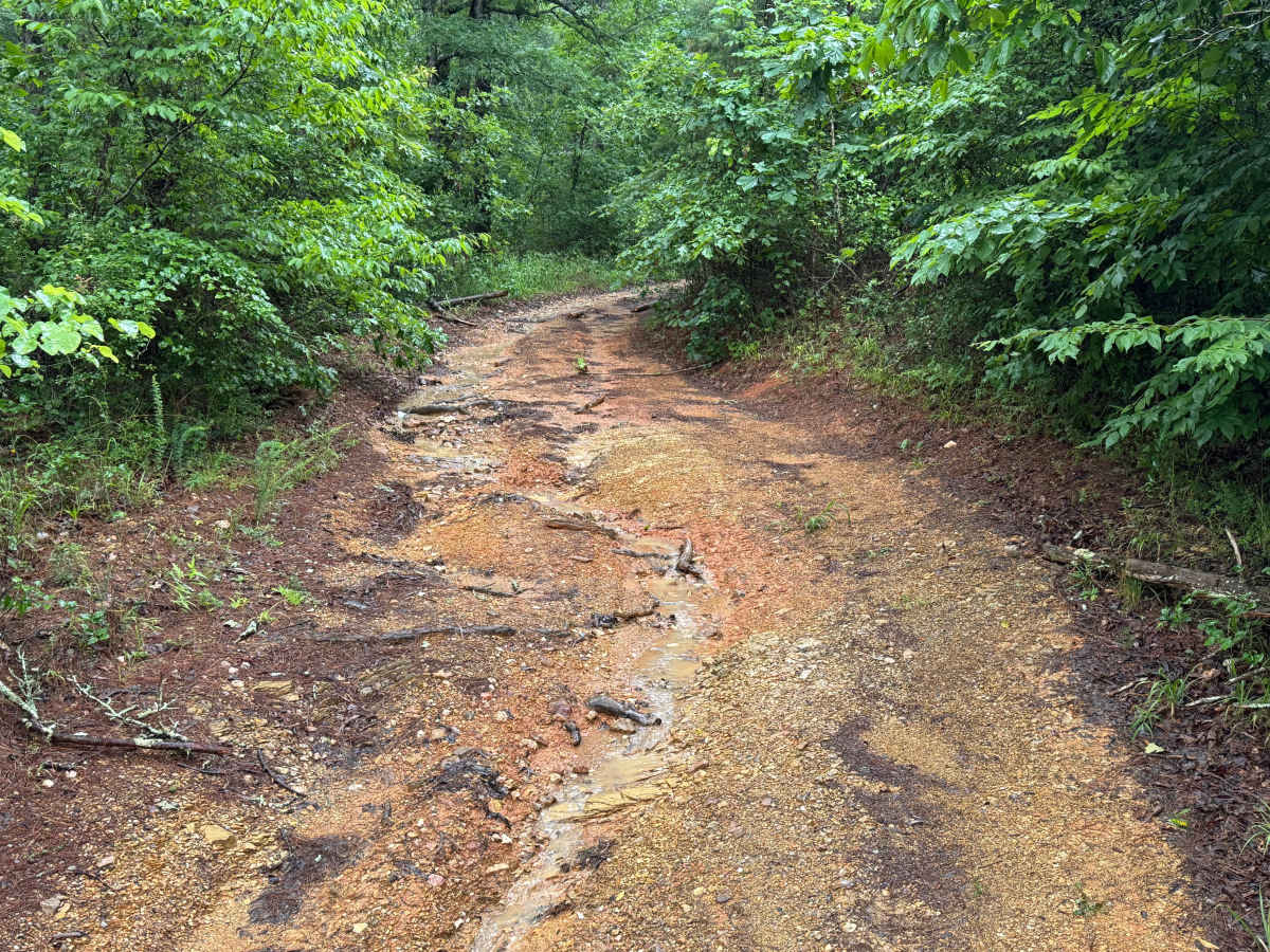
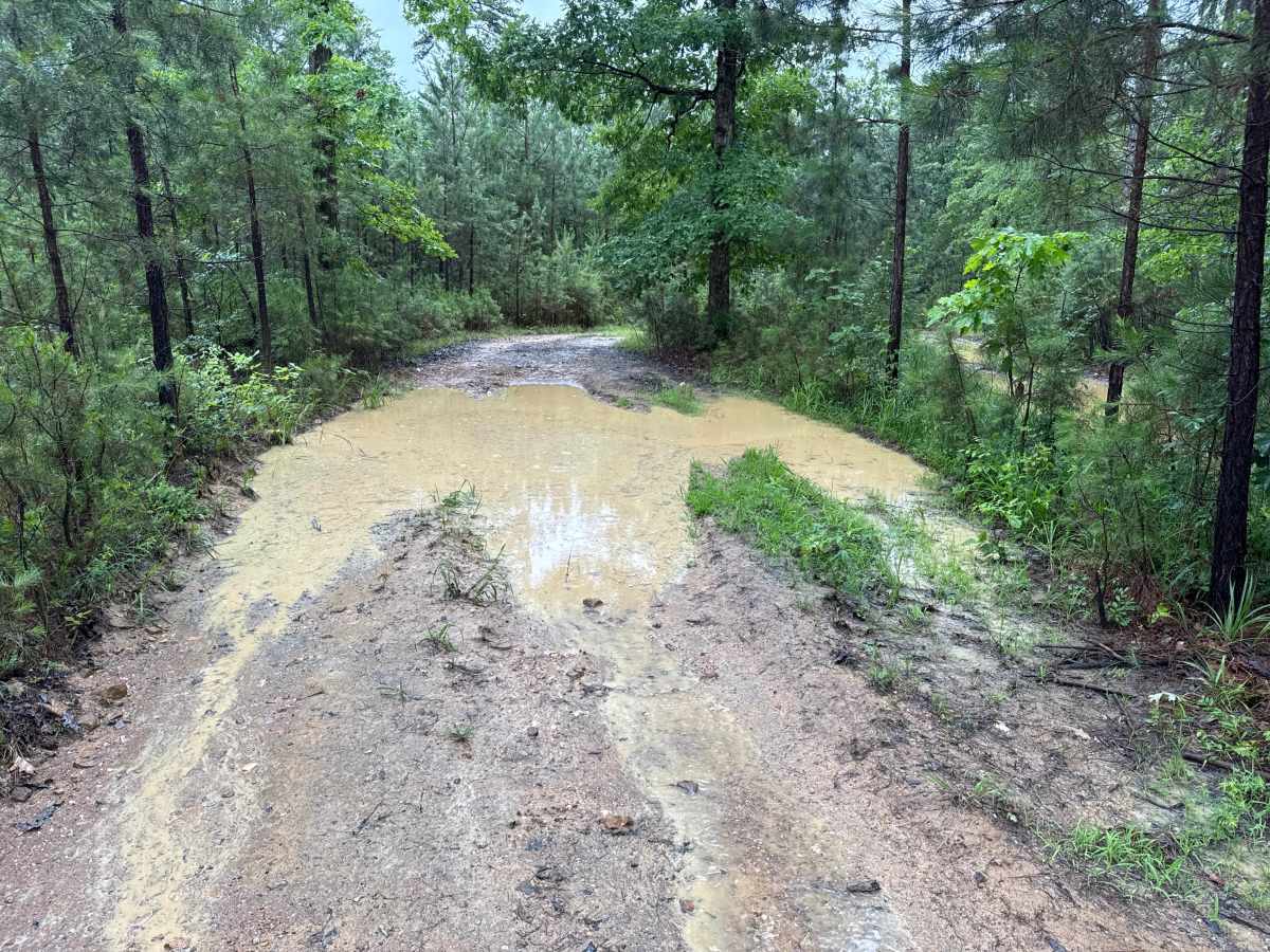
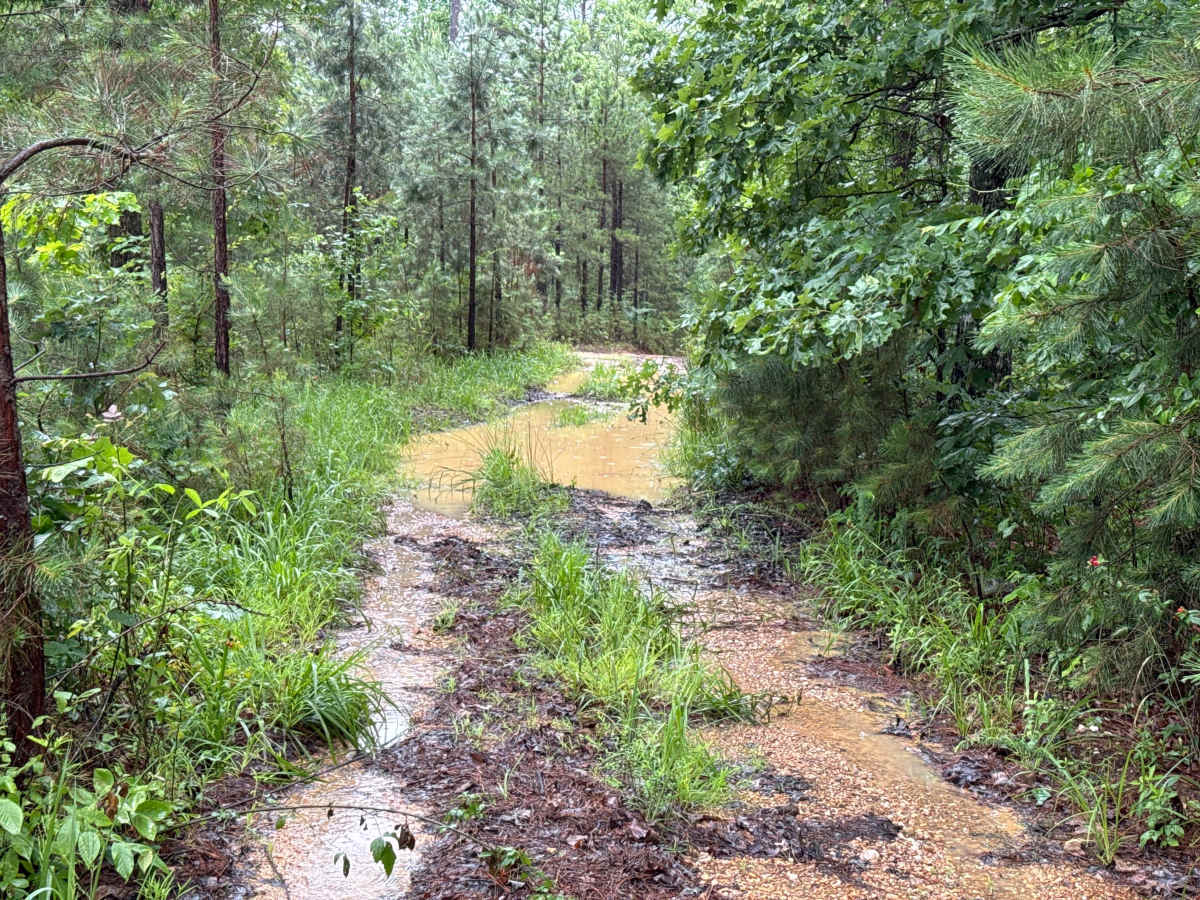
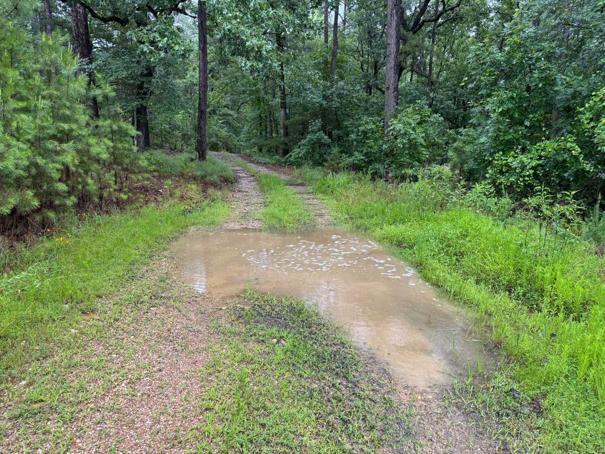
Several areas along the route show signs of erosion, including washed-out sections, exposed roots, and shallow ruts that can create minor off-camber situations. While these obstacles add interest and require attention, they do not present a significant rollover risk under normal conditions. Following rainfall, standing water becomes common throughout the trail. Many of the puddles can conceal branches, rocks, or pieces of fallen timber, so slow and deliberate driving is recommended. Travelers will encounter a pair of parallel mudholes near the middle of the route. Determining which path serves as the easier bypass can be difficult, especially after rain, as both routes can hold water and mud. Near the Ryan Road end of the route, the trail passes a residence that appears unoccupied. Regardless of occupancy, travelers should remain respectful by keeping speeds low, minimizing noise, and staying on the established roadway. This route offers a secluded drive through dense forest with enough obstacles to keep drivers engaged.
Difficulty
While there are no major rock obstacles or steep climbs, the combination of narrow corridors, unavoidable brush contact, standing water, erosion damage, muddy sections, and hidden obstacles beneath puddles elevates the challenge above a typical forest road. Weather conditions can significantly impact difficulty.
History
The Ouachita National Forest was established in 1907 and is recognized as the oldest national forest in the southern United States. Many roads found throughout the forest today originated as logging, timber management, fire access, or resource extraction routes before becoming part of the modern Forest Service road network. Forest management remains an important part of the landscape, and travelers may encounter evidence of prescribed burns, timber thinning, and habitat restoration efforts. The Ouachita Mountains themselves are among the oldest mountain ranges in North America and are notable for their unique east-west orientation.