Trail Overview
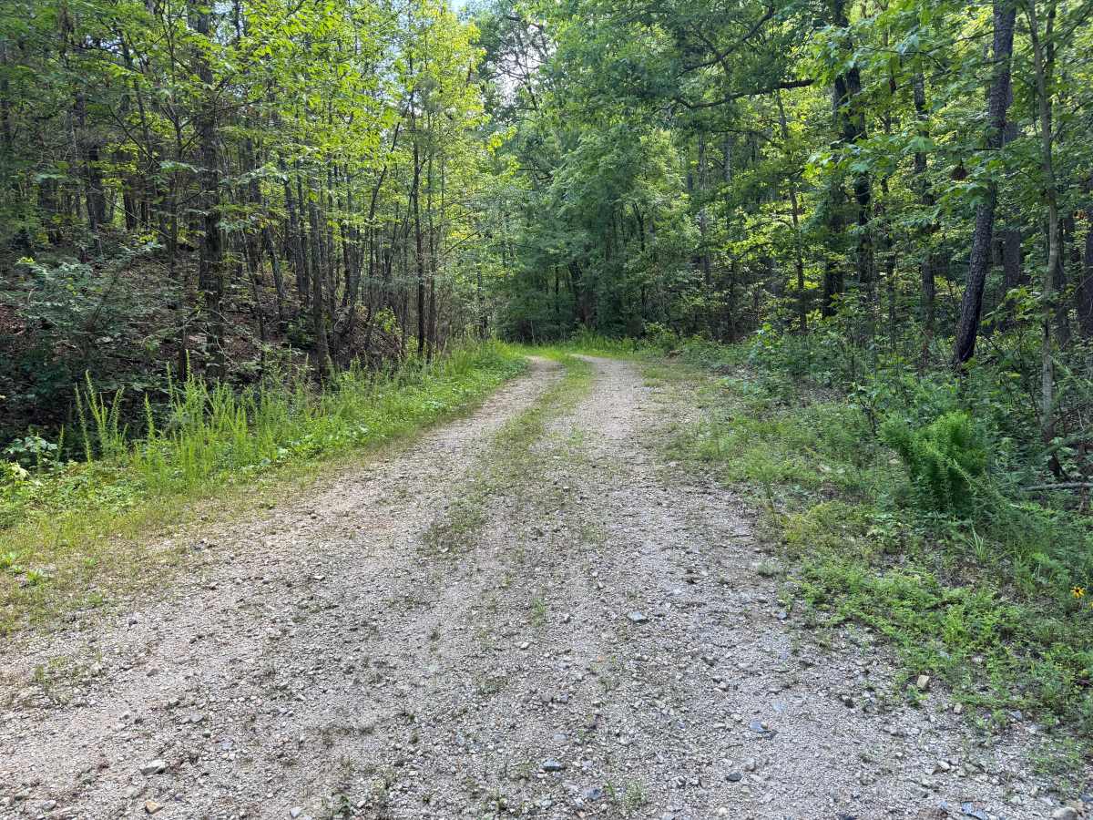
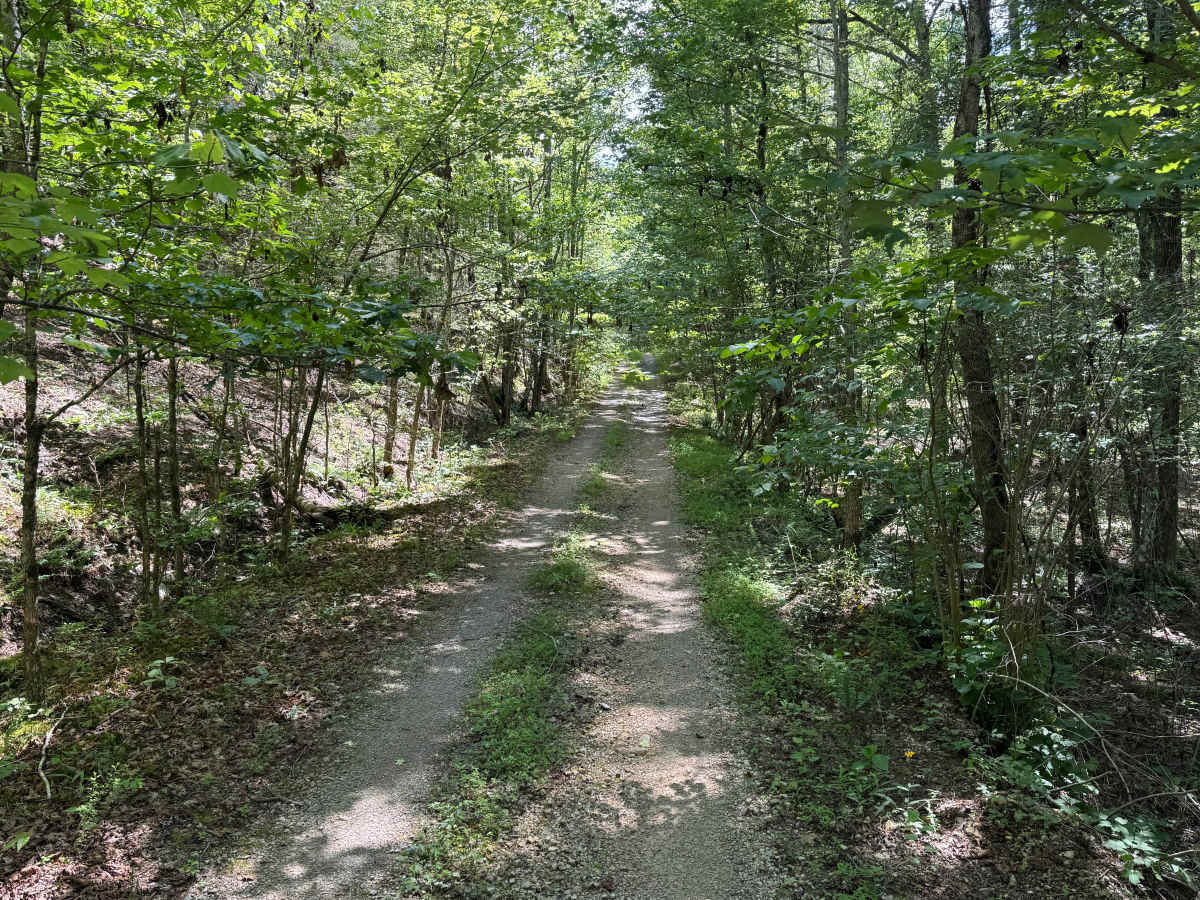
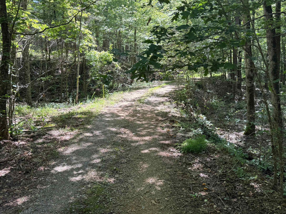
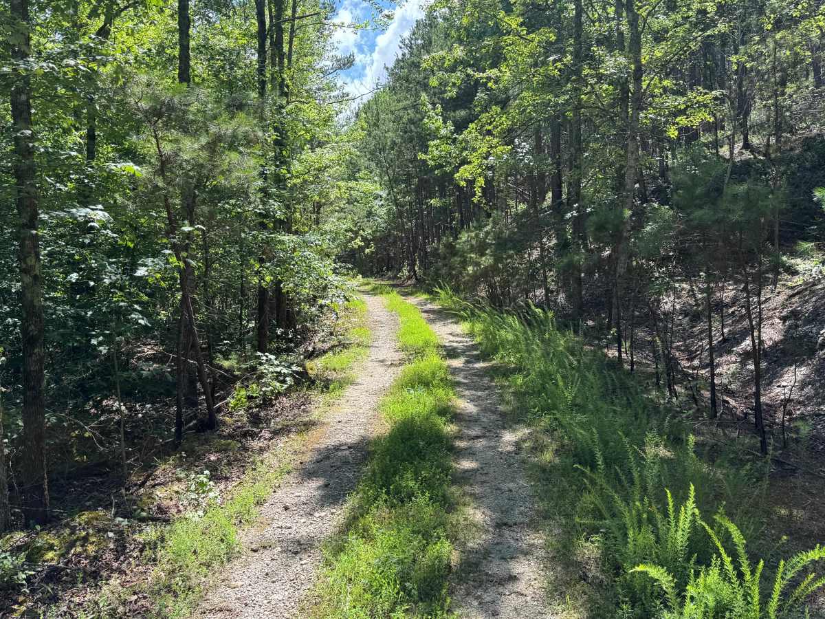
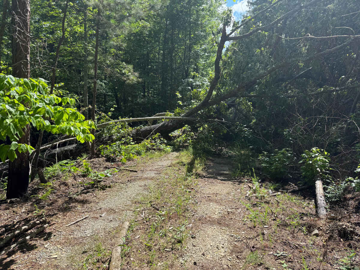
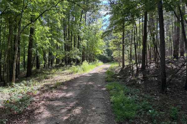
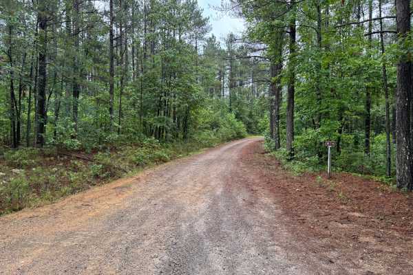
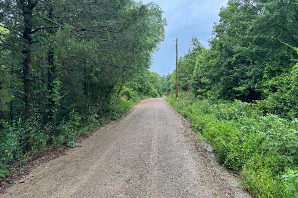
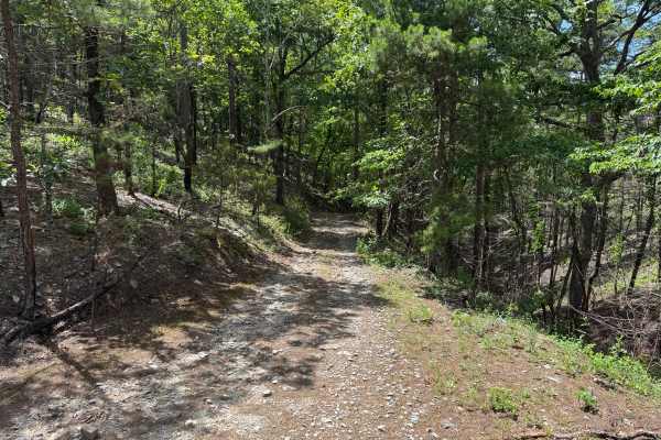
This short forest route provides an easy drive through a quiet section of the Ouachita National Forest. The road surface is a mix of gravel and dirt with no major obstacles, making it accessible to most stock high-clearance 4x4s. Dense forest surrounds the route, and overgrown vegetation narrows the travel corridor in several locations. Drivers should expect low-hanging branches and brush capable of scratching paint and mirrors. Fallen trees are common on less frequently maintained forest roads, and conditions can change significantly between visits. At the time this route was recorded, a large tree blocked the roadway roughly 1.1 miles from the trailhead, requiring travelers to turn around and exit the same way they entered.
Difficulty
The route contains no technical obstacles, difficult climbs, or challenging terrain. Difficulty is limited primarily by vegetation encroachment, potential pinstriping, and the possibility of downed trees blocking travel. Under normal conditions, this is an easy forest road suitable for most high-clearance vehicles.
History
The Ouachita National Forest was established in 1907 and is recognized as the oldest national forest in the southern United States. Many roads found throughout the forest today originated as logging, timber management, fire access, or resource extraction routes before becoming part of the modern Forest Service road network. Forest management remains an important part of the landscape, and travelers may encounter evidence of prescribed burns, timber thinning, and habitat restoration efforts. The Ouachita Mountains themselves are among the oldest mountain ranges in North America and are notable for their unique east-west orientation.