Trail Overview
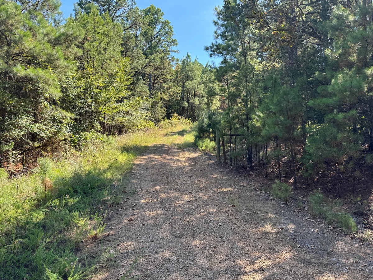
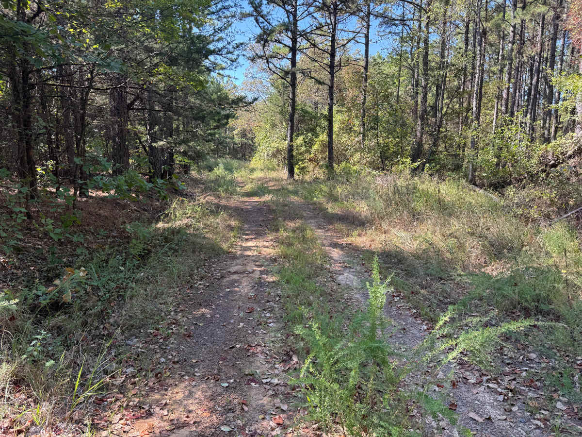
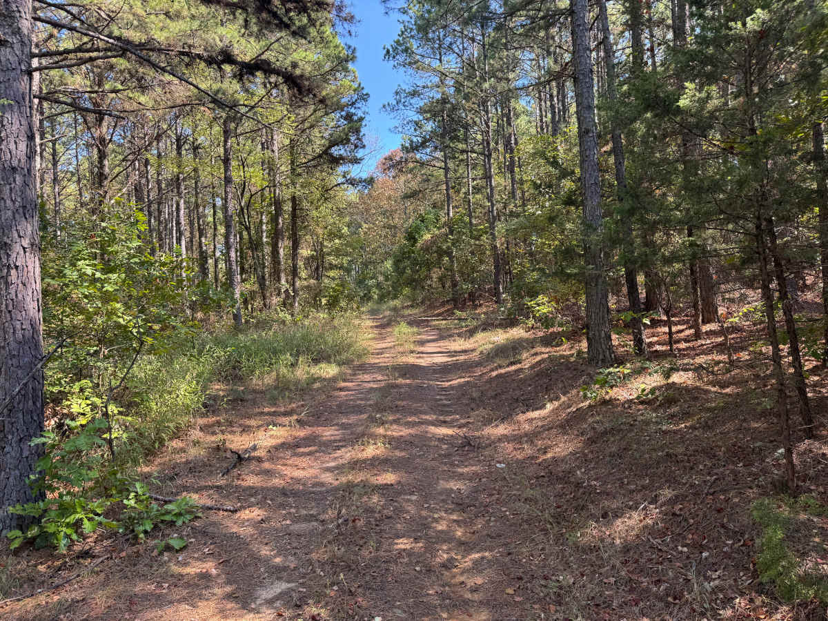
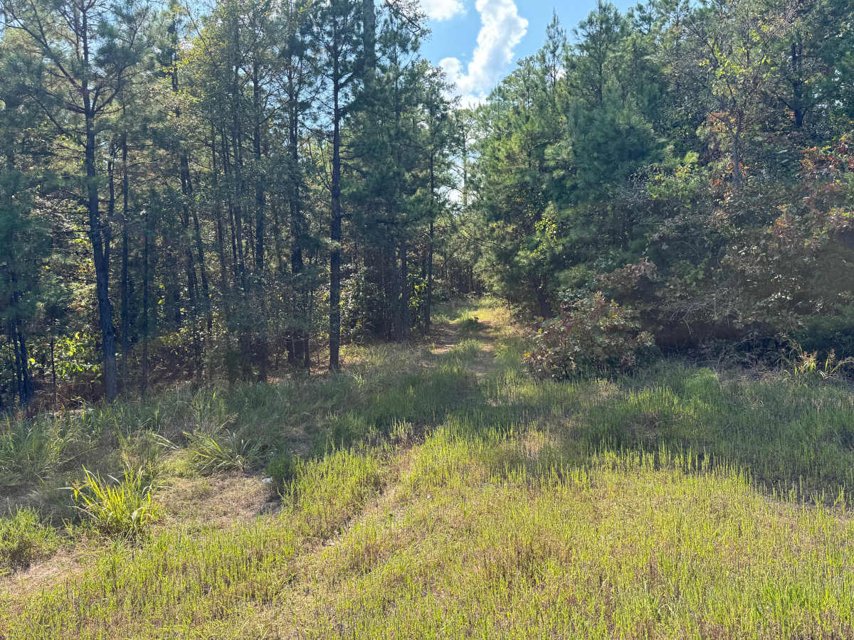
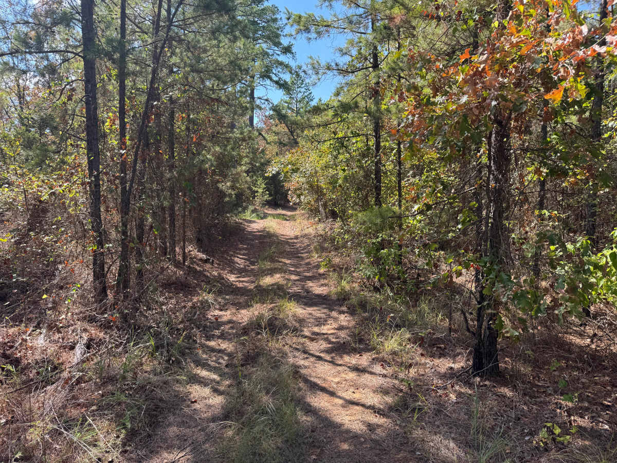
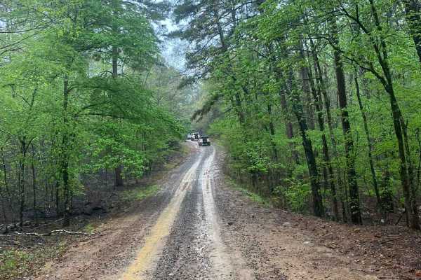
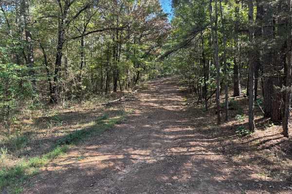
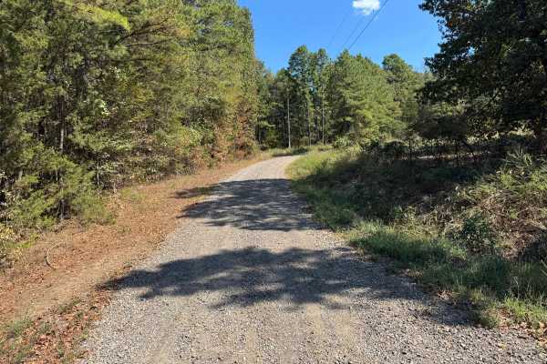
This out-and-back route travels through a quiet, lightly used section of mixed pine and hardwood forest. The surface begins with a wider gravel base before transitioning into a narrower dirt-and-gravel two-track, with fallen leaves, pine needles, and grass covering portions of the roadway. Mature pines are prominent throughout the surrounding forest, mixed with oaks and other hardwoods, younger pine growth, shrubs, and dense understory vegetation. As the route continues, vegetation becomes increasingly established between the tire tracks and along the shoulders. Near the end, the roadway reaches a clearing that provides a good location to turn around. Beyond this point, the old track becomes extremely overgrown and difficult to distinguish from the surrounding vegetation. Tall grass growing along the center of the traveled portion may contact the underside of vehicles, so use caution around hot exhaust components. Wildlife, fallen limbs, and downed trees may also be encountered.
History
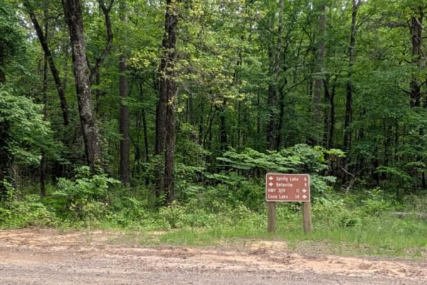
The Mount Magazine area has a long history of transportation, forestry, and recreation. During the Great Depression, federal programs including the Civilian Conservation Corps and Works Progress Administration developed roads and recreation infrastructure around the mountain. Cove Lake was constructed as part of the Mount Magazine land-use project and was completed in 1938, while CCC crews based at nearby Blue Mountain performed forestry work and improved roads throughout the area. Many of today's routes travel through the same national forest landscape that was extensively managed and developed during this period.

 Offroad