Muddy Gibbs

Total Miles5
Technical Rating
1Easy
Best TimeSpring, Summer, Fall, Winter
Trail TypeFull-Width Road
Accessible By
Open Trail Map

Trail Overview

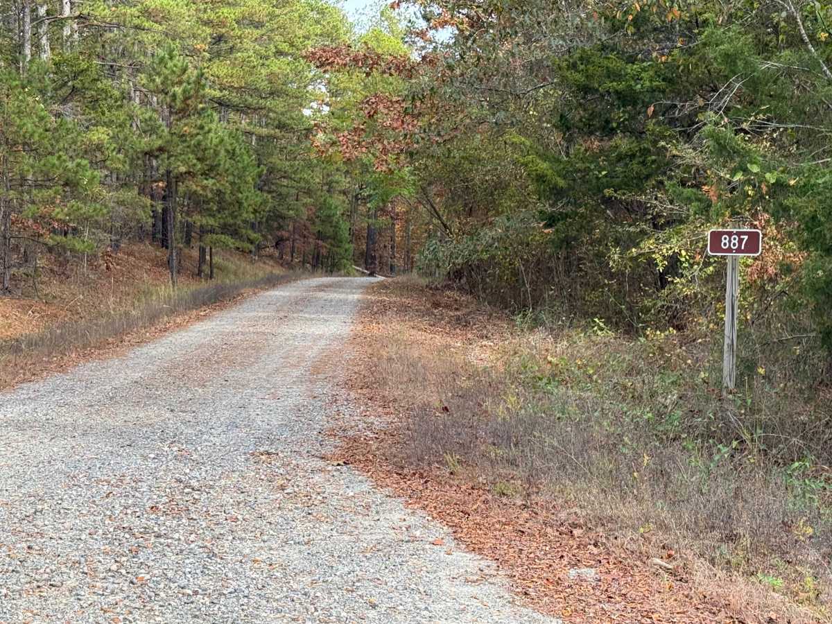
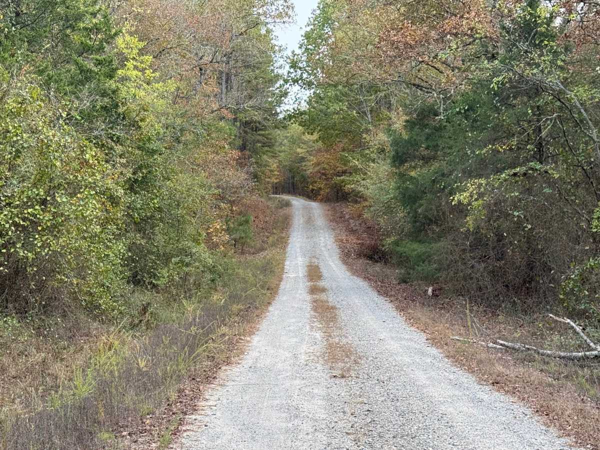
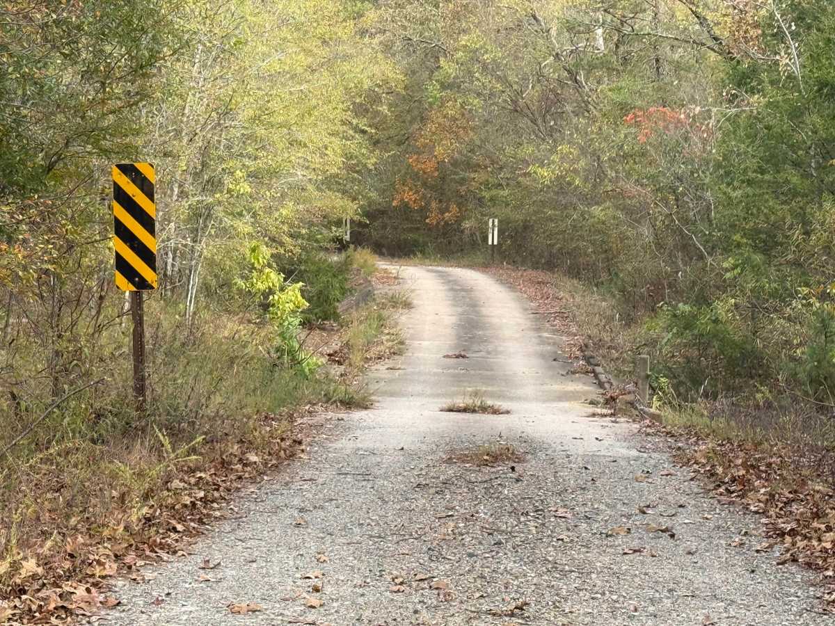
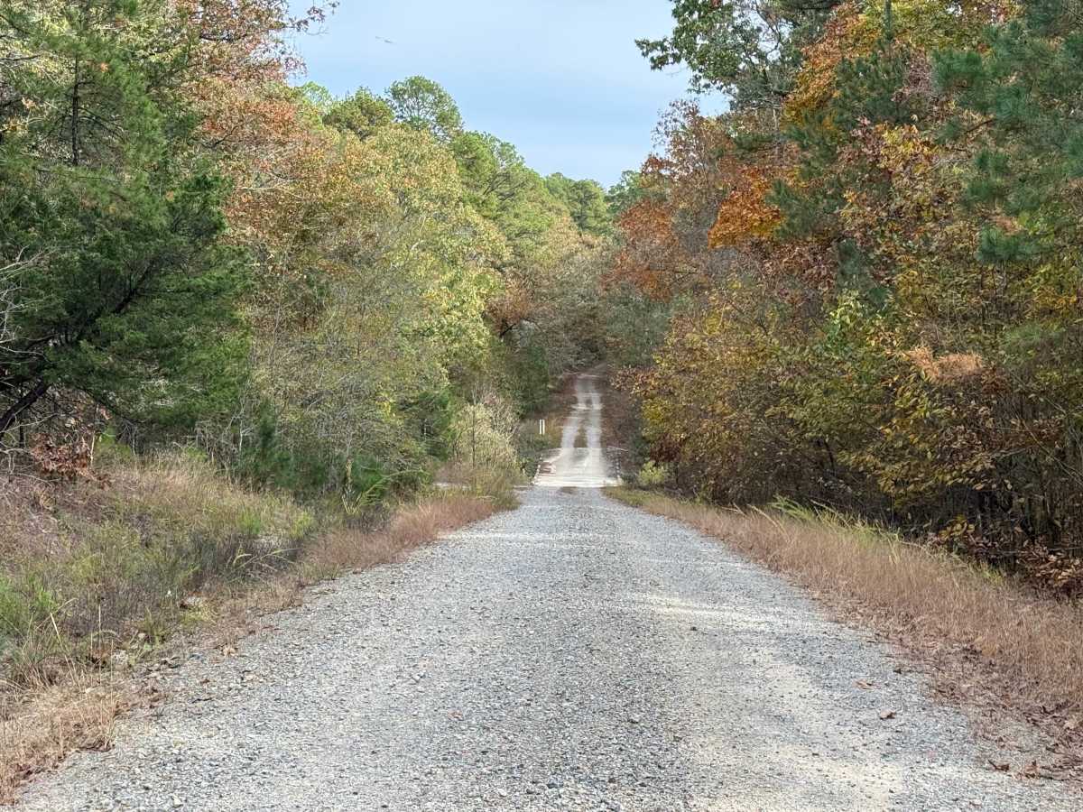
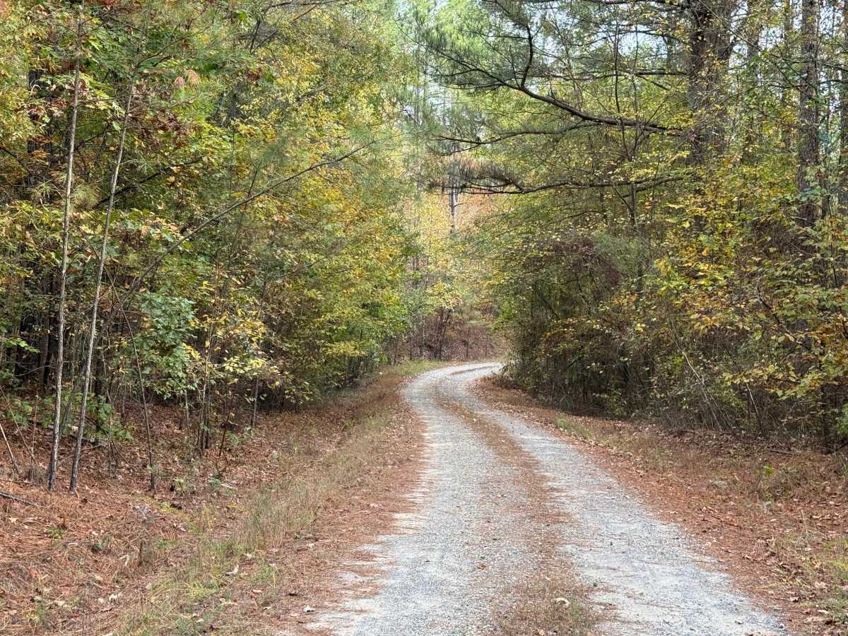
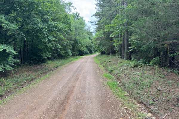
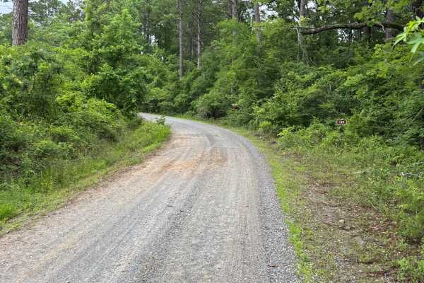
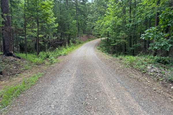
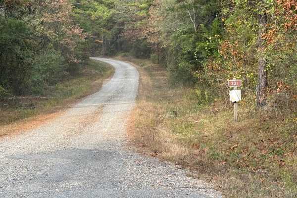
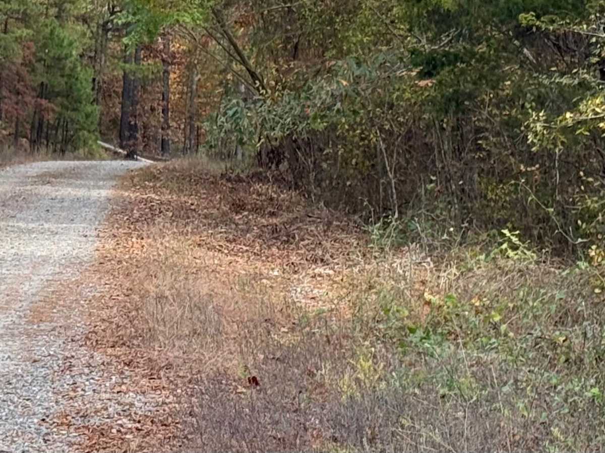
This is a dirt road topped with gravel that follows the border of the Ouachita National Forest. It is a well-maintained, point-to-point road with two-way traffic, although there are some small potholes and wash areas that do not create a hazard. Several low-water crossings could become difficult after heavy rain. The route winds through rolling hills and hardwood bottoms, with private property to the east and the National Forest to the west. The road narrows in places but remains wide enough for vehicles to pass. Vegetation along the roadside has not been maintained recently, so some pinstriping may occur. Wildlife is abundant, with bald eagles being a regular sight. Any vehicle should be able to travel this road without difficulty.

Photos of Muddy Gibbs

Difficulty

Easy under normal conditions, but heavy rain could increase the difficulty to a 2.

Technical Rating

1

Muddy Gibbs Trail can be accessed by the following ride types:

  • Single Track
  • 50 Inch
  • 60 Inch
  • High Clearance
  • Full Width

Muddy Gibbs Map

The onX Offroad Difference

onX Offroad combines trail photos, descriptions, difficulty ratings, width restrictions, seasonality, and more in a user-friendly interface. Available on all devices, with offline access and full compatibility with CarPlay and Android Auto. Discover what you're missing today!

Open Trail Map